
How to get from Sugar Creek Air Park (Indiana) to Aurora (Illinois)
Calculate route from Sugar Creek Air Park (Indiana, United States) to Aurora (Illinois, United States).
The flight distance (as the crow flies) between Sugar Creek Air Park and Aurora is 306.7 km.
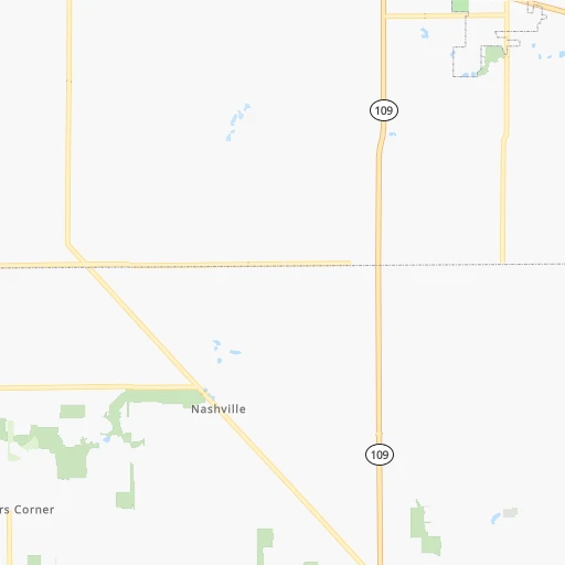
Roadmap (route) to go from Sugar Creek Air Park to Aurora detailed above, you can also see the course layout on the map.
While doing trip Sugar Creek Air Park - Aurora by car, the calculated route ends at a distance , or more straight.
Distance and duration of the route between Sugar Creek Air Park and Aurora
Calculation of distance and route from Aurora to Sugar Creek Air Park :
306.7373.3 km5h36mn
Continue onto 1100 E 0h1mn 598 mTurn right onto East 900 N 0h3mn 1.6 kmTurn left onto 1000 E 0h3mn 1.6 kmTurn right onto SR 234 0h26mn 25.5 kmTurn left onto West Broadway 0h1mn 553 mTurn sharp right onto North County Road 600 West 0h0mn 336 mTurn left onto 800 N 0h3mn 3.3 kmTurn right onto Oaklandon Road 0h0mn 452 mTurn left onto Fox Road 0h2mn 2.0 kmTurn right onto East 79th Street 0h9mn 9.0 kmKeep right and drive toward Allisonville Road 0h0mn 43 mTurn right onto Allisonville Road 0h0mn 236 mKeep left toward I 465 West 0h0mn 212 mKeep left 0h12mn 16.0 kmKeep left onto I 865 and take I 865 West toward Chicago 2h57mn 197.2 kmKeep right and take US 231 toward Crown Point, Lake County Vietnam, Korean Veterans Memorials 0h1mn 785 mKeep left and take US 231 toward Crown Point, Hebron 0h0mn 31 mTurn left onto US 231 0h4mn 4.7 kmTurn right onto South Main Street 0h0mn 122 mTurn slight right onto North Main Street 0h6mn 5.9 kmTurn left onto West 81st Avenue 0h8mn 9.4 kmTurn slight right onto Joliet Street 0h6mn 6.0 kmContinue onto Glenwood Dyer Road 0h5mn 4.9 kmKeep right toward IL 394 North 0h3mn 4.3 kmKeep right and take I 80, I 294 North, I 94 East toward Iowa, Wisconsin, Indiana 0h0mn 422 mKeep left and take I 80 West, I 294 North toward Iowa, Wisconsin 0h6mn 8.5 kmContinue onto Tri-State Tollway 0h1mn 1.3 kmContinue onto Tri-State Tollway 0h20mn 28.8 kmKeep right and take I 55 South toward Saint Louis, Wolf Road 0h0mn 137 mKeep left and drive toward Wolf Road 0h0mn 164 mKeep right and drive toward Wolf Road 0h0mn 41 mTurn right onto Wolf Road 0h0mn 342 mTurn sharp left onto Joliet Road toward I 294 North 0h0mn 184 mContinue toward I 55 South 0h3mn 3.9 kmKeep right and take IL 83 South, IL 83 North toward Kingery Road 0h0mn 335 mKeep right and take IL 83 North toward Kingery Road 0h1mn 1.2 kmTurn left onto 75th Street 0h2mn 1.9 kmContinue onto 75th Street 0h19mn 19.8 kmKeep right 0h2mn 1.7 kmTurn left onto Aurora Avenue 0h9mn 9.6 kmTurn left onto North Lake Street 0h0mn 127 mTurn right onto West Galena Boulevard 0h0mn 175 mArrive at destination 0h0mn 0 m
Travel from Sugar Creek Air Park (Illinois) to a selection of major cities.
Distances from Sugar Creek Air Park to biggest cities in Indiana
- Columbus,46,690 inhabitants.85 km
- West Lafayette,45,550 inhabitants.125 km
- Portage,36,738 inhabitants.227 km
- Westfield,36,738 inhabitants.47 km
- New Albany,36,732 inhabitants.183 km
- Richmond,35,854 inhabitants.61 km
- Merrillville,35,224 inhabitants.227 km
- Goshen,32,983 inhabitants.186 km
- Valparaiso,32,626 inhabitants.212 km
- Michigan City,31,459 inhabitants.227 km
- Plainfield,30,590 inhabitants.73 km
- Granger,30,465 inhabitants.208 km
- Marion,29,081 inhabitants.71 km
- Crown Point,28,879 inhabitants.223 km
- Schererville,28,791 inhabitants.234 km
- East Chicago,28,699 inhabitants.247 km
- Hobart,28,404 inhabitants.227 km
- Zionsville,26,296 inhabitants.57 km
- Brownsburg,24,996 inhabitants.69 km
- Franklin,24,598 inhabitants.63 km
Other major cities in country :
- Seattle [WA], 684,451 inhabitants. 3,043 km
- Denver [CO], 682,545 inhabitants. 1,654 km
- El Paso [TX], 681,124 inhabitants. 2,086 km
- Detroit [MI], 677,116 inhabitants. 343 km
- Boston [MA], 667,137 inhabitants. 1,247 km
- Memphis [TN], 655,770 inhabitants. 661 km
- New South Memphis [TN], 641,608 inhabitants. 667 km
- Portland [OR], 632,309 inhabitants. 3,067 km
- Oklahoma City [OK], 631,346 inhabitants. 1,160 km
- Las Vegas [NV], 623,747 inhabitants. 2,611 km
- Baltimore [MD], 621,849 inhabitants. 774 km
- Washington, D.C. [DC], 601,723 inhabitants. 745 km
- Milwaukee [WI], 600,155 inhabitants. 397 km
- South Boston [MA], 571,281 inhabitants. 1,247 km
- Albuquerque [NM], 559,121 inhabitants. 1,930 km
- Tucson [AZ], 531,641 inhabitants. 2,425 km
- Nashville [TN], 530,852 inhabitants. 431 km
- Fresno [CA], 520,052 inhabitants. 2,987 km
- Sacramento [CA], 490,712 inhabitants. 3,077 km
- Kansas City [MO], 475,378 inhabitants. 776 km
Route from Aurora to major cities (United States).
- Distance Aurora New York City1,202 km
- Distance Aurora Los Angeles2,749 km
- Distance Aurora Brooklyn1,208 km
- Distance Aurora Houston1,478 km
- Distance Aurora Queens1,217 km
- Distance Aurora Philadelphia1,125 km
- Distance Aurora Phoenix2,280 km
- Distance Aurora Manhattan1,204 km
- Distance Aurora San Antonio1,651 km
- Distance Aurora San Diego2,731 km
- Distance Aurora The Bronx1,211 km
- Distance Aurora Dallas1,249 km
- Distance Aurora San Jose2,905 km
- Distance Aurora Austin1,533 km
- Distance Aurora Jacksonville1,405 km
- Distance Aurora San Francisco2,932 km
- Distance Aurora Columbus491 km
- Distance Aurora Fort Worth1,282 km
- Distance Aurora Indianapolis287 km
- Distance Aurora Charlotte976 km
Nearest cities to Sugar Creek Air Park :
- Chicago, 2,720,546 inhabitants. 275 km
- Columbus, 850,106 inhabitants. 222 km
- Indianapolis, 829,718 inhabitants. 51 km
- Detroit, 677,116 inhabitants. 343 km
- Lexington-Fayette, 314,488 inhabitants. 231 km
- Cincinnati, 296,943 inhabitants. 128 km
- Meads, 288,649 inhabitants. 301 km
- Ironville, 288,649 inhabitants. 299 km
- Toledo, 279,789 inhabitants. 259 km
- Fort Wayne, 260,326 inhabitants. 140 km
- Louisville, 243,639 inhabitants. 186 km
- Lexington, 225,366 inhabitants. 236 km
- Aurora, 200,661 inhabitants. 307 km
- Joliet, 147,861 inhabitants. 275 km
- Naperville, 147,100 inhabitants. 298 km
- Dayton, 140,599 inhabitants. 122 km
- Warren, 134,056 inhabitants. 359 km
- Sterling Heights, 132,052 inhabitants. 366 km
- Evansville, 119,943 inhabitants. 275 km
- Ann Arbor, 117,070 inhabitants. 305 km
- Lansing, 115,056 inhabitants. 325 km
- Elgin, 112,111 inhabitants. 326 km
- South Bend, 101,516 inhabitants. 204 km
- Kenosha, 99,858 inhabitants. 350 km
- Clinton Township, 99,753 inhabitants. 372 km
- Dearborn, 95,171 inhabitants. 336 km
- Livonia, 94,635 inhabitants. 331 km
- Carmel, 88,713 inhabitants. 45 km
- Waukegan, 88,475 inhabitants. 331 km
- Canton, 86,825 inhabitants. 320 km
- West Town, 86,429 inhabitants. 280 km
- Champaign, 86,096 inhabitants. 226 km
- Near North Side, 85,711 inhabitants. 279 km
- Bloomington, 84,067 inhabitants. 116 km
- Cicero, 83,886 inhabitants. 281 km
- Troy, 83,280 inhabitants. 362 km
- Westland, 82,000 inhabitants. 325 km
- Farmington Hills, 81,330 inhabitants. 341 km
- Belmont Cragin, 79,159 inhabitants. 289 km
- Racine, 77,742 inhabitants. 362 km
- Hammond, 77,614 inhabitants. 245 km
- Gary, 77,156 inhabitants. 237 km
- Fishers, 76,794 inhabitants. 36 km
- Kalamazoo, 76,041 inhabitants. 264 km
- Arlington Heights, 75,926 inhabitants. 313 km
- Waterford, 75,737 inhabitants. 359 km
- Evanston, 75,527 inhabitants. 294 km
- Wyoming, 75,275 inhabitants. 333 km
- Schaumburg, 74,693 inhabitants. 314 km
- Bolingbrook, 74,306 inhabitants. 287 km
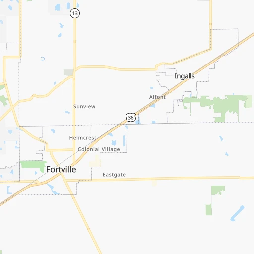
Location Sugar Creek Air Park (Indiana) :
| Country flag |  |
| Location | Sugar Creek Air Park |
| State | Indiana |
| County | Hancock County |
| Country | United States |
| Country code / ISO 2 | US |
| Latitude | 39.9220000 |
| Longitude | -85.5987900 |
| Altitude | 305 meters |
| Time zone | America/Indiana/Indianapolis |
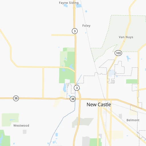
Location Aurora (Illinois) :
| Country flag | |
| Location | Aurora |
| State | Illinois |
| County | Kane County |
| Country | United States |
| Country code / ISO 2 | US |
| Latitude | 41.7605800 |
| Longitude | -88.3200700 |
| Altitude | 207 meters |
| Time zone | America/Chicago |


