
How to get from Ohat-Pusztakócs Vasútállomás (Hajdú-Bihar) to Ózd (Borsod-Abaúj-Zemplén)
Calculate route from Ohat-Pusztakócs Vasútállomás (Hajdú-Bihar, Hungary) to Ózd (Borsod-Abaúj-Zemplén, Hungary).
The flight distance (as the crow flies) between Ohat-Pusztakócs Vasútállomás and Ózd is 82.4 km.
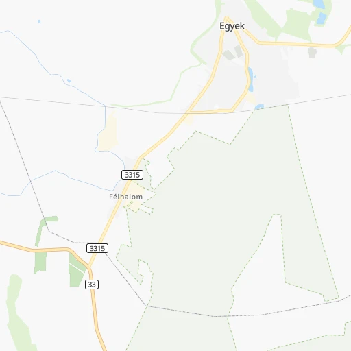
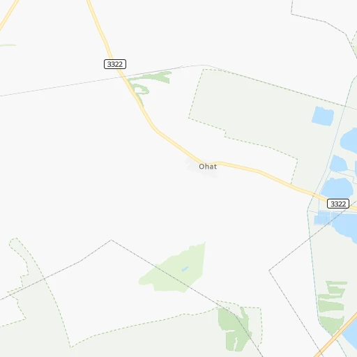
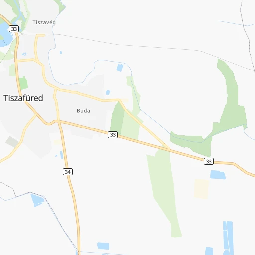
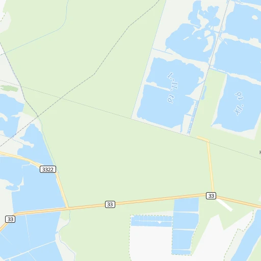
Roadmap (route) to go from Ohat-Pusztakócs Vasútállomás to Ózd detailed above, you can also see the course layout on the map.
While doing trip Ohat-Pusztakócs Vasútállomás - Ózd by car, the calculated route ends at a distance , or more straight.
Distance and duration of the route between Ohat-Pusztakócs Vasútállomás and Ózd
Calculation of distance and route from Ózd to Ohat-Pusztakócs Vasútállomás :
82.4112.2 km2h11mn
Continue 0h0mn 72 mTurn left onto 3322 0h3mn 3.5 kmTurn sharp left onto Teleki utca 0h4mn 4.5 kmTurn right onto Fő tér 0h0mn 209 mTurn right onto Tisza utca 0h2mn 1.0 kmTurn left 0h0mn 96 mKeep right 0h16mn 5.5 kmTurn right onto Arany János utca 0h0mn 66 mTurn left onto Zrínyi utca 0h17mn 16.4 kmTurn left onto Rákóczi út 0h0mn 203 mTurn right onto Béke út 0h13mn 12.7 kmAt roundabout, take exit 3 onto 33111 0h3mn 2.3 kmAt roundabout, take exit 3 onto Mátyás király út 0h2mn 1.8 kmAt roundabout, take exit 2 onto 253 0h7mn 10.0 kmAt roundabout, take exit 1 onto 2501 0h7mn 6.6 kmTurn right onto Kertész utca 0h1mn 1.1 kmAt roundabout, take exit 2 onto Kertész utca 0h1mn 479 mAt roundabout, take exit 1 onto Kertész utca 0h0mn 208 mAt roundabout, take exit 1 onto Mekcsey István utca 0h1mn 846 mTurn left onto Vécseyvölgy utca 0h1mn 509 mTurn right onto Régi Cifrakapu utca 0h1mn 381 mKeep left onto Régi Cifrakapu utca 0h2mn 1.1 kmKeep right 0h0mn 43 mTurn slight right onto II. Rákóczi Ferenc út 0h11mn 10.4 kmContinue onto 2506 0h17mn 15.2 kmKeep left onto Vasút utca 0h0mn 377 mTurn right onto Vasút utca 0h8mn 7.1 kmKeep left onto Vörösmarty út 0h4mn 4.2 kmTurn sharp left 0h0mn 51 mTurn right 0h1mn 310 mTurn right 0h0mn 29 mTurn left onto 2508 0h1mn 1.1 kmTurn left onto Illyés Gyula utca 0h2mn 774 mTurn right onto Jázmin utca 0h0mn 9 mTurn left onto Szilvásváradi út 0h3mn 2.3 kmAt roundabout, take exit 2 onto József Attila út 0h1mn 393 mContinue onto Váci Mihály utca 0h1mn 382 mArrive at destination 0h0mn 0 m
Travel from Ohat-Pusztakócs Vasútállomás (Borsod-Abaúj-Zemplén) to a selection of major cities.
Distances from Ohat-Pusztakócs Vasútállomás to biggest cities in Hajdú-Bihar
Other major cities in country :
- Jozsefvaros [05], 76,957 inhabitants. 142 km
- Budapest XXI. keruelet [05], 76,339 inhabitants. 143 km
- Paradsasvar [11], 76,000 inhabitants. 80 km
- Szolnok [20], 75,474 inhabitants. 74 km
- Tatabanya [12], 70,541 inhabitants. 192 km
- Budapest XVI. keruelet [05], 68,484 inhabitants. 134 km
- Kaposvar [17], 67,746 inhabitants. 277 km
- Bekescsaba [03], 65,206 inhabitants. 105 km
- Budapest XX. keruelet [05], 63,371 inhabitants. 140 km
- Erd [16], 62,408 inhabitants. 155 km
- Veszprem [23], 62,023 inhabitants. 236 km
- Erzsebetvaros [05], 62,000 inhabitants. 142 km
- Zalaegerszeg [24], 61,898 inhabitants. 322 km
- Budapest XIX. keruelet [05], 61,610 inhabitants. 137 km
- Kispest [05], 61,453 inhabitants. 137 km
- Sopron [09], 57,210 inhabitants. 327 km
- Eger [11], 56,647 inhabitants. 54 km
- Budapest XII. keruelet [05], 56,544 inhabitants. 146 km
- Nagykanizsa [24], 50,823 inhabitants. 327 km
- Budapest XXII. keruelet [05], 50,499 inhabitants. 145 km
Route from Ózd to major cities (Hungary).
- Distance Ózd Budapest124 km
- Distance Ózd Debrecen125 km
- Distance Ózd Szeged219 km
- Distance Ózd Pecs284 km
- Distance Ózd Budapest XI. keruelet125 km
- Distance Ózd Zuglo118 km
- Distance Ózd Gyor207 km
- Distance Ózd Budapest III. keruelet120 km
- Distance Ózd Nyiregyhaza109 km
- Distance Ózd Budapest XIII. keruelet119 km
- Distance Ózd Kecskemet153 km
- Distance Ózd Szekesfehervar182 km
- Distance Ózd Budapest IV. keruelet116 km
- Distance Ózd Budapest XVIII. keruelet120 km
- Distance Ózd Budapest II. keruelet123 km
- Distance Ózd Budapest VIII. keruelet122 km
- Distance Ózd Budapest XV. keruelet114 km
- Distance Ózd Szombathely296 km
- Distance Ózd Budapest X. keruelet118 km
- Distance Ózd Budapest XVII. keruelet113 km
Nearest cities to Ohat-Pusztakócs Vasútállomás :
- Budapest, 1,741,041 inhabitants. 144 km
- Debrecen, 204,124 inhabitants. 52 km
- Miskolc, 172,637 inhabitants. 55 km
- Szeged, 164,883 inhabitants. 164 km
- Pecs, 156,649 inhabitants. 268 km
- Budapest XI. keruelet, 139,049 inhabitants. 145 km
- Zuglo, 130,000 inhabitants. 139 km
- Budapest III. keruelet, 123,723 inhabitants. 143 km
- Nyiregyhaza, 116,298 inhabitants. 69 km
- Budapest XIII. keruelet, 113,531 inhabitants. 141 km
- Kecskemet, 109,847 inhabitants. 124 km
- Szekesfehervar, 101,600 inhabitants. 197 km
- Budapest IV. keruelet, 98,374 inhabitants. 140 km
- Budapest XVIII. keruelet, 93,225 inhabitants. 135 km
- Budapest II. keruelet, 88,729 inhabitants. 145 km
- Budapest VIII. keruelet, 82,222 inhabitants. 142 km
- Budapest XV. keruelet, 80,218 inhabitants. 138 km
- Budapest X. keruelet, 79,270 inhabitants. 135 km
- Budapest XVII. keruelet, 78,250 inhabitants. 128 km
- Jozsefvaros, 76,957 inhabitants. 142 km
- Budapest XXI. keruelet, 76,339 inhabitants. 143 km
- Paradsasvar, 76,000 inhabitants. 80 km
- Szolnok, 75,474 inhabitants. 74 km
- Tatabanya, 70,541 inhabitants. 192 km
- Budapest XVI. keruelet, 68,484 inhabitants. 134 km
- Bekescsaba, 65,206 inhabitants. 105 km
- Budapest XX. keruelet, 63,371 inhabitants. 140 km
- Erd, 62,408 inhabitants. 155 km
- Erzsebetvaros, 62,000 inhabitants. 142 km
- Budapest XIX. keruelet, 61,610 inhabitants. 137 km
- Kispest, 61,453 inhabitants. 137 km
- Eger, 56,647 inhabitants. 54 km
- Budapest XII. keruelet, 56,544 inhabitants. 146 km
- Budapest XXII. keruelet, 50,499 inhabitants. 145 km
- Dunaujvaros, 50,084 inhabitants. 168 km
- Hodmezovasarhely, 47,485 inhabitants. 142 km
- Budapest VI. keruelet, 42,120 inhabitants. 142 km
- Salgotarjan, 39,640 inhabitants. 101 km
- Cegled, 39,287 inhabitants. 100 km
- Ozd, 38,476 inhabitants. 83 km
- Baja, 37,714 inhabitants. 221 km
- Vac, 35,108 inhabitants. 137 km
- Szekszard, 34,174 inhabitants. 221 km
- Gyongyos, 32,938 inhabitants. 79 km
- Kazincbarcika, 32,396 inhabitants. 74 km
- Godollo, 32,374 inhabitants. 120 km
- Gyula, 32,269 inhabitants. 111 km
- Hajduboszormeny, 31,957 inhabitants. 43 km
- Kiskunfelegyhaza, 31,720 inhabitants. 131 km
- Oroshaza, 31,373 inhabitants. 119 km
Location Ohat-Pusztakócs Vasútállomás (Hajdú-Bihar) :
| Country flag |  |
| Location | Ohat-Pusztakócs Vasútállomás |
| State | Hajdú-Bihar |
| County | |
| Country | Hungary |
| Country code / ISO 2 | HU |
| Latitude | 47.6166700 |
| Longitude | 20.9500000 |
| Altitude | 0 meters |
| Time zone | Europe/Budapest |
Location Ózd (Borsod-Abaúj-Zemplén) :
| Country flag | |
| Location | Ózd |
| State | Borsod-Abaúj-Zemplén |
| County | |
| Country | Hungary |
| Country code / ISO 2 | HU |
| Latitude | 48.2166700 |
| Longitude | 20.3000000 |
| Altitude | 0 meters |
| Time zone | Europe/Budapest |