
How to get from Ohat-Pusztakócs Vasútállomás (Hajdú-Bihar) to Zalaegerszeg (Zala)
Calculate route from Ohat-Pusztakócs Vasútállomás (Hajdú-Bihar, Hungary) to Zalaegerszeg (Zala, Hungary).
The flight distance (as the crow flies) between Ohat-Pusztakócs Vasútállomás and Zalaegerszeg is 321.6 km.
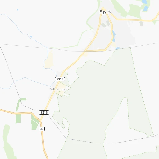
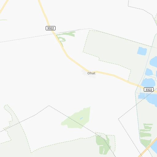
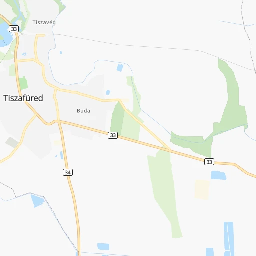
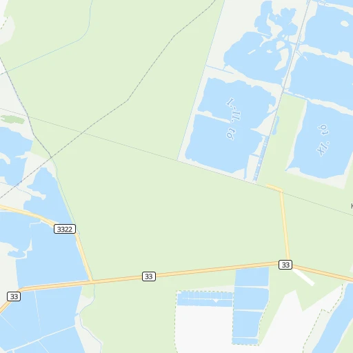
Roadmap (route) to go from Ohat-Pusztakócs Vasútállomás to Zalaegerszeg detailed above, you can also see the course layout on the map.
While doing trip Ohat-Pusztakócs Vasútállomás - Zalaegerszeg by car, the calculated route ends at a distance , or more straight.
Distance and duration of the route between Ohat-Pusztakócs Vasútállomás and Zalaegerszeg
Calculation of distance and route from Zalaegerszeg to Ohat-Pusztakócs Vasútállomás :
321.6393.4 km4h17mn
Continue 0h0mn 72 mTurn left onto 3322 0h3mn 3.5 kmTurn sharp left onto Teleki utca 0h4mn 4.0 kmTurn left onto Gólya utca 0h0mn 247 mTurn right onto Hunyadi János utca 0h0mn 75 mTurn left onto Bartók Béla utca 0h1mn 408 mTurn left onto Fő utca 0h5mn 4.8 kmTurn sharp right onto 33 0h3mn 4.2 kmTurn right 0h6mn 5.0 kmTurn left onto Poroszlói út 0h1mn 347 mKeep right 0h0mn 159 mTurn right onto 33 0h29mn 30.9 kmTurn left 1h58mn 107.9 kmKeep right onto Kacsóh Pongrác út 0h0mn 322 mContinue onto Kacsóh Pongrác út and drive toward HŐSÖK TERE 0h1mn 1.0 kmContinue onto Hősök tere 0h0mn 40 mTurn left onto Dózsa György út 0h0mn 81 mTurn right onto Andrássy út 0h5mn 3.6 kmKeep right onto Kálvin tér 0h3mn 2.4 kmTurn right onto Bocskai út 0h1mn 412 mKeep left onto Nagyszőlős utca 0h2mn 1.8 kmContinue onto Budaörsi út and take M1, M7 toward Győr, Bécs-Wien, BALATON, Nagykanizsa 0h5mn 7.6 kmKeep left onto M7 and take E 71, M7 toward BALATON, Nagykanizsa, Székesfehérvár 1h44mn 84.9 kmKeep left onto M7 and take 7 toward Siófok-centrum, Nagykanizsa, Letenye M7 1h37mn 72.5 kmKeep right and take E 661, 68 toward Marcali, Keszthely, Balatonszentgyörgy 0h0mn 384 mKeep right and take 76, 71 toward Balatonszentgyörgy, Keszthely 0h0mn 46 mTurn slight right onto 68 0h1mn 1.0 kmAt roundabout, take exit 2 onto 76 0h4mn 4.1 kmContinue onto 76 0h1mn 510 mAt roundabout, take exit 1 onto 76 0h3mn 3.4 kmAt roundabout, take exit 1 onto 71 0h6mn 7.7 kmAt roundabout, take exit 3 onto 75 0h3mn 4.0 kmAt roundabout, take exit 3 onto 760 0h7mn 9.4 kmAt roundabout, take exit 2 onto Hegy utca 0h19mn 23.4 kmAt roundabout, take exit 2 onto Balatoni út 0h1mn 749 mAt roundabout, take exit 2 onto Balatoni út 0h0mn 260 mAt roundabout, take exit 2 onto Balatoni út 0h0mn 310 mAt roundabout, take exit 2 onto Balatoni út 0h1mn 826 mTurn left onto Stadion utca 0h0mn 171 mKeep right onto Berzsenyi Dániel utca 0h0mn 274 mTurn left onto Kosztolányi Dezső utca 0h0mn 320 mTurn right onto Petőfi Sándor utca 0h1mn 311 mTurn left onto Ady Endre utca 0h0mn 24 mArrive at destination 0h0mn 0 m
Travel from Ohat-Pusztakócs Vasútállomás (Zala) to a selection of major cities.
Distances from Ohat-Pusztakócs Vasútállomás to biggest cities in Hajdú-Bihar
Other major cities in country :
- Jozsefvaros [05], 76,957 inhabitants. 142 km
- Budapest XXI. keruelet [05], 76,339 inhabitants. 143 km
- Paradsasvar [11], 76,000 inhabitants. 80 km
- Szolnok [20], 75,474 inhabitants. 74 km
- Tatabanya [12], 70,541 inhabitants. 192 km
- Budapest XVI. keruelet [05], 68,484 inhabitants. 134 km
- Kaposvar [17], 67,746 inhabitants. 277 km
- Bekescsaba [03], 65,206 inhabitants. 105 km
- Budapest XX. keruelet [05], 63,371 inhabitants. 140 km
- Erd [16], 62,408 inhabitants. 155 km
- Veszprem [23], 62,023 inhabitants. 236 km
- Erzsebetvaros [05], 62,000 inhabitants. 142 km
- Zalaegerszeg [24], 61,898 inhabitants. 322 km
- Budapest XIX. keruelet [05], 61,610 inhabitants. 137 km
- Kispest [05], 61,453 inhabitants. 137 km
- Sopron [09], 57,210 inhabitants. 327 km
- Eger [11], 56,647 inhabitants. 54 km
- Budapest XII. keruelet [05], 56,544 inhabitants. 146 km
- Nagykanizsa [24], 50,823 inhabitants. 327 km
- Budapest XXII. keruelet [05], 50,499 inhabitants. 145 km
Route from Zalaegerszeg to major cities (Hungary).
- Distance Zalaegerszeg Budapest182 km
- Distance Zalaegerszeg Debrecen370 km
- Distance Zalaegerszeg Miskolc328 km
- Distance Zalaegerszeg Szeged261 km
- Distance Zalaegerszeg Pecs136 km
- Distance Zalaegerszeg Budapest XI. keruelet180 km
- Distance Zalaegerszeg Zuglo187 km
- Distance Zalaegerszeg Gyor111 km
- Distance Zalaegerszeg Budapest III. keruelet184 km
- Distance Zalaegerszeg Nyiregyhaza388 km
- Distance Zalaegerszeg Budapest XIII. keruelet186 km
- Distance Zalaegerszeg Kecskemet217 km
- Distance Zalaegerszeg Szekesfehervar125 km
- Distance Zalaegerszeg Budapest IV. keruelet188 km
- Distance Zalaegerszeg Budapest XVIII. keruelet189 km
- Distance Zalaegerszeg Budapest II. keruelet181 km
- Distance Zalaegerszeg Budapest VIII. keruelet183 km
- Distance Zalaegerszeg Budapest XV. keruelet190 km
- Distance Zalaegerszeg Szombathely47 km
- Distance Zalaegerszeg Budapest X. keruelet189 km
Nearest cities to Ohat-Pusztakócs Vasútállomás :
- Budapest, 1,741,041 inhabitants. 144 km
- Debrecen, 204,124 inhabitants. 52 km
- Miskolc, 172,637 inhabitants. 55 km
- Szeged, 164,883 inhabitants. 164 km
- Pecs, 156,649 inhabitants. 268 km
- Budapest XI. keruelet, 139,049 inhabitants. 145 km
- Zuglo, 130,000 inhabitants. 139 km
- Budapest III. keruelet, 123,723 inhabitants. 143 km
- Nyiregyhaza, 116,298 inhabitants. 69 km
- Budapest XIII. keruelet, 113,531 inhabitants. 141 km
- Kecskemet, 109,847 inhabitants. 124 km
- Szekesfehervar, 101,600 inhabitants. 197 km
- Budapest IV. keruelet, 98,374 inhabitants. 140 km
- Budapest XVIII. keruelet, 93,225 inhabitants. 135 km
- Budapest II. keruelet, 88,729 inhabitants. 145 km
- Budapest VIII. keruelet, 82,222 inhabitants. 142 km
- Budapest XV. keruelet, 80,218 inhabitants. 138 km
- Budapest X. keruelet, 79,270 inhabitants. 135 km
- Budapest XVII. keruelet, 78,250 inhabitants. 128 km
- Jozsefvaros, 76,957 inhabitants. 142 km
- Budapest XXI. keruelet, 76,339 inhabitants. 143 km
- Paradsasvar, 76,000 inhabitants. 80 km
- Szolnok, 75,474 inhabitants. 74 km
- Tatabanya, 70,541 inhabitants. 192 km
- Budapest XVI. keruelet, 68,484 inhabitants. 134 km
- Bekescsaba, 65,206 inhabitants. 105 km
- Budapest XX. keruelet, 63,371 inhabitants. 140 km
- Erd, 62,408 inhabitants. 155 km
- Erzsebetvaros, 62,000 inhabitants. 142 km
- Budapest XIX. keruelet, 61,610 inhabitants. 137 km
- Kispest, 61,453 inhabitants. 137 km
- Eger, 56,647 inhabitants. 54 km
- Budapest XII. keruelet, 56,544 inhabitants. 146 km
- Budapest XXII. keruelet, 50,499 inhabitants. 145 km
- Dunaujvaros, 50,084 inhabitants. 168 km
- Hodmezovasarhely, 47,485 inhabitants. 142 km
- Budapest VI. keruelet, 42,120 inhabitants. 142 km
- Salgotarjan, 39,640 inhabitants. 101 km
- Cegled, 39,287 inhabitants. 100 km
- Ozd, 38,476 inhabitants. 83 km
- Baja, 37,714 inhabitants. 221 km
- Vac, 35,108 inhabitants. 137 km
- Szekszard, 34,174 inhabitants. 221 km
- Gyongyos, 32,938 inhabitants. 79 km
- Kazincbarcika, 32,396 inhabitants. 74 km
- Godollo, 32,374 inhabitants. 120 km
- Gyula, 32,269 inhabitants. 111 km
- Hajduboszormeny, 31,957 inhabitants. 43 km
- Kiskunfelegyhaza, 31,720 inhabitants. 131 km
- Oroshaza, 31,373 inhabitants. 119 km
Location Ohat-Pusztakócs Vasútállomás (Hajdú-Bihar) :
| Country flag |  |
| Location | Ohat-Pusztakócs Vasútállomás |
| State | Hajdú-Bihar |
| County | |
| Country | Hungary |
| Country code / ISO 2 | HU |
| Latitude | 47.6166700 |
| Longitude | 20.9500000 |
| Altitude | 0 meters |
| Time zone | Europe/Budapest |
Location Zalaegerszeg (Zala) :
| Country flag | |
| Location | Zalaegerszeg |
| State | Zala |
| County | |
| Country | Hungary |
| Country code / ISO 2 | HU |
| Latitude | 46.8400000 |
| Longitude | 16.8438900 |
| Altitude | 0 meters |
| Time zone | Europe/Budapest |
