
How to get from Stantsiya Berehova (Odessa) to Bilhorod-Dnistrovskyi (Odessa)
Calculate route from Stantsiya Berehova (Odessa, Ukraine) to Bilhorod-Dnistrovskyi (Odessa, Ukraine).
The flight distance (as the crow flies) between Stantsiya Berehova and Bilhorod-Dnistrovskyi is 72.1 km.
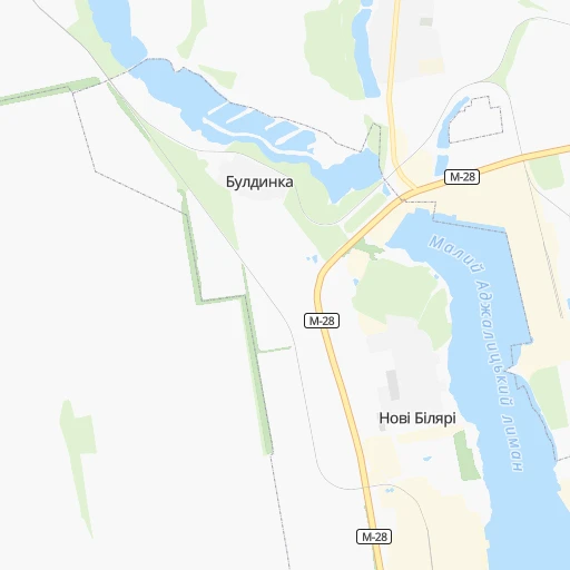
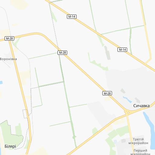
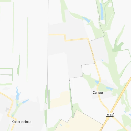
Roadmap (route) to go from Stantsiya Berehova to Bilhorod-Dnistrovskyi detailed above, you can also see the course layout on the map.
While doing trip Stantsiya Berehova - Bilhorod-Dnistrovskyi by car, the calculated route ends at a distance , or more straight.
Distance and duration of the route between Stantsiya Berehova and Bilhorod-Dnistrovskyi
Calculation of distance and route from Bilhorod-Dnistrovskyi to Stantsiya Berehova :
72.1135.0 km2h6mn
Continue 0h0mn 101 mTurn right onto М-28-03 0h3mn 3.7 kmTurn left onto М-28 0h29mn 26.7 kmTurn left onto Південна дорога 0h2mn 1.6 kmTurn slight right onto Миколаївська дорога 0h8mn 8.3 kmTurn right onto Балківська вулиця 0h2mn 2.7 kmKeep right onto Бугаївська вулиця 0h2mn 1.6 kmTurn right onto Дальницька вулиця 0h6mn 6.6 kmAt roundabout, take exit 3 onto М-15 1h46mn 56.7 kmTurn left onto Р-72 and drive toward Білгород-Дністровський 0h26mn 25.9 kmTurn right onto вулиця Українська 0h0mn 311 mTurn left onto Ізмаїльська вулиця 0h1mn 444 mTurn right onto вулиця Шевченка 0h1mn 348 mTurn sharp right onto вулиця В'ячеслава Кирилова 0h0mn 60 mArrive at destination 0h0mn 0 m
Travel from Stantsiya Berehova (Odessa) to a selection of major cities.
Distances from Stantsiya Berehova to biggest cities in Odessa
Other major cities in country :
- Zhytomyr [27], 282,192 inhabitants. 440 km
- Horlivka [05], 278,550 inhabitants. 560 km
- Rivne [19], 255,106 inhabitants. 568 km
- Kropyvnytskyi [10], 249,454 inhabitants. 228 km
- Kamianske [04], 248,575 inhabitants. 339 km
- Chernivtsi [03], 236,250 inhabitants. 426 km
- Ternopil [22], 235,676 inhabitants. 520 km
- Kremenchuk [18], 227,494 inhabitants. 324 km
- Lutsk [24], 213,661 inhabitants. 621 km
- Ivano-Frankivsk [06], 204,200 inhabitants. 538 km
- Bila Tserkva [13], 199,163 inhabitants. 360 km
- Kramators'k [05], 173,700 inhabitants. 541 km
- Melitopol [26], 158,000 inhabitants. 331 km
- Kerch [11], 148,932 inhabitants. 443 km
- Nikopol [04], 130,500 inhabitants. 275 km
- Syevyerodonets'k [14], 130,000 inhabitants. 613 km
- Sloviansk [05], 124,800 inhabitants. 551 km
- Berdyansk [26], 118,284 inhabitants. 440 km
- Uzhgorod [25], 117,878 inhabitants. 692 km
- Alchevs'k [14], 116,000 inhabitants. 618 km
Route from Bilhorod-Dnistrovskyi to major cities (Ukraine).
- Distance Bilhorod-Dnistrovskyi Kyiv474 km
- Distance Bilhorod-Dnistrovskyi Kharkiv608 km
- Distance Bilhorod-Dnistrovskyi Dnipro434 km
- Distance Bilhorod-Dnistrovskyi Donetsk600 km
- Distance Bilhorod-Dnistrovskyi Zaporizhia410 km
- Distance Bilhorod-Dnistrovskyi Lviv621 km
- Distance Bilhorod-Dnistrovskyi Kryvyi Rih299 km
- Distance Bilhorod-Dnistrovskyi Mykolayiv153 km
- Distance Bilhorod-Dnistrovskyi Mariupol558 km
- Distance Bilhorod-Dnistrovskyi Luhansk725 km
- Distance Bilhorod-Dnistrovskyi Sevastopol306 km
- Distance Bilhorod-Dnistrovskyi Khmelnytskyi438 km
- Distance Bilhorod-Dnistrovskyi Makiyivka610 km
- Distance Bilhorod-Dnistrovskyi Vinnytsia366 km
- Distance Bilhorod-Dnistrovskyi Simferopol324 km
- Distance Bilhorod-Dnistrovskyi Kherson181 km
- Distance Bilhorod-Dnistrovskyi Poltava491 km
- Distance Bilhorod-Dnistrovskyi Chernihiv595 km
- Distance Bilhorod-Dnistrovskyi Cherkasy382 km
- Distance Bilhorod-Dnistrovskyi Sumy620 km
Nearest cities to Stantsiya Berehova :
- Odessa, 1,001,558 inhabitants. 29 km
- Kryvyi Rih, 652,380 inhabitants. 227 km
- Mykolayiv, 510,840 inhabitants. 82 km
- Sevastopol, 416,263 inhabitants. 298 km
- Vinnytsia, 352,115 inhabitants. 347 km
- Kherson, 320,477 inhabitants. 120 km
- Cherkasy, 297,568 inhabitants. 320 km
- Kropyvnytskyi, 249,454 inhabitants. 228 km
- Kremenchuk, 227,494 inhabitants. 324 km
- Yevpatoriya, 106,202 inhabitants. 240 km
- Oleksandriya, 103,000 inhabitants. 275 km
- Uman, 87,658 inhabitants. 243 km
- Izmayil, 82,485 inhabitants. 222 km
- Pervomays'k, 70,746 inhabitants. 158 km
- Smila, 67,530 inhabitants. 295 km
- Chornomors'k, 54,102 inhabitants. 47 km
- Horishni Plavni, 51,740 inhabitants. 328 km
- Zhovti Vody, 51,559 inhabitants. 266 km
- Nova Kakhovka, 50,672 inhabitants. 177 km
- Bilhorod-Dnistrovskyi, 50,201 inhabitants. 72 km
- Svitlovods'k, 47,946 inhabitants. 315 km
- Voznesensk, 42,248 inhabitants. 106 km
- Podil's'k, 40,664 inhabitants. 169 km
- Yuzhnoukrains'k, 39,430 inhabitants. 132 km
- Kakhovka, 36,816 inhabitants. 188 km
- Zhmerynka, 35,960 inhabitants. 346 km
- Dolyns'ka, 34,267 inhabitants. 209 km
- Krasnoperekops'k, 30,700 inhabitants. 225 km
- Tsyurupyns'k, 28,800 inhabitants. 128 km
- Saki, 28,322 inhabitants. 259 km
- Znomenka, 28,318 inhabitants. 261 km
- Bakhchisaray, 27,351 inhabitants. 303 km
- Yuzhne, 25,000 inhabitants. 5 km
- Haisyn, 24,687 inhabitants. 272 km
- Armyansk, 24,442 inhabitants. 212 km
- Kiliya, 21,754 inhabitants. 190 km
- Ladyzhyn, 21,393 inhabitants. 266 km
- Piatykhatky, 20,459 inhabitants. 282 km
- Reni, 19,719 inhabitants. 250 km
- Vatutine, 19,407 inhabitants. 265 km
- Skadovs'k, 19,404 inhabitants. 155 km
- Kalynivka, 19,315 inhabitants. 366 km
- Balta, 19,220 inhabitants. 181 km
- Zvenihorodka, 19,161 inhabitants. 272 km
- Korsun-Shevchenkivskyi, 19,000 inhabitants. 311 km
- Shpola, 18,689 inhabitants. 266 km
- Balaklava, 18,649 inhabitants. 309 km
- Novoukrayinka, 18,633 inhabitants. 192 km
- Rozdil'na, 17,615 inhabitants. 77 km
- Bohuslav, 16,498 inhabitants. 325 km
Location Stantsiya Berehova (Odessa) :
| Country flag |  |
| Location | Stantsiya Berehova |
| State | Odessa |
| County | |
| Country | Ukraine |
| Country code / ISO 2 | UA |
| Latitude | 46.6328000 |
| Longitude | 31.0433700 |
| Altitude | 0 meters |
| Time zone | Europe/Kiev |
Location Bilhorod-Dnistrovskyi (Odessa) :
| Country flag | |
| Location | Bilhorod-Dnistrovskyi |
| State | Odessa |
| County | |
| Country | Ukraine |
| Country code / ISO 2 | UA |
| Latitude | 46.1952000 |
| Longitude | 30.3493800 |
| Altitude | 0 meters |
| Time zone | Europe/Kiev |
