
How to get from Mthatha (airport) (Eastern Cape) to Carletonville (Gauteng)
Calculate route from Mthatha (airport) (Eastern Cape, South Africa) to Carletonville (Gauteng, South Africa).
The flight distance (as the crow flies) between Mthatha (airport) and Carletonville is 589.6 km.
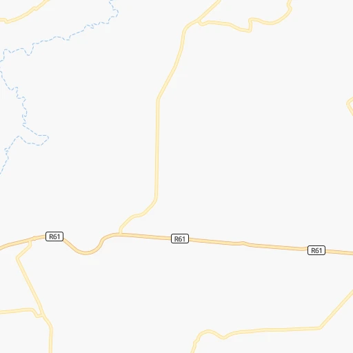
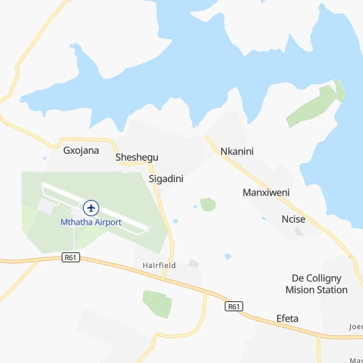
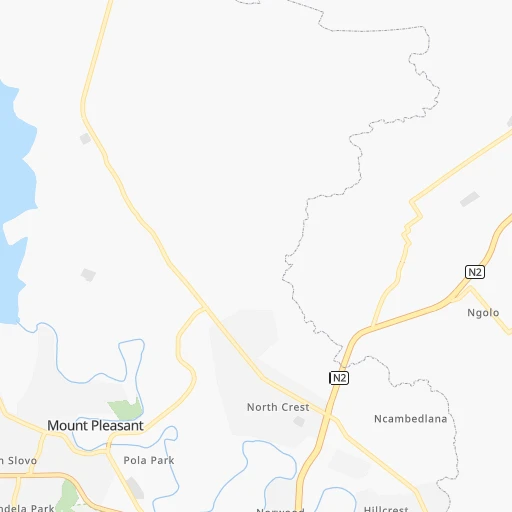
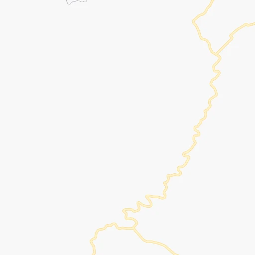
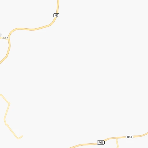
Roadmap (route) to go from Mthatha Airport to Carletonville detailed above, you can also see the course layout on the map.
While doing trip Mthatha (airport) - Carletonville by car, the calculated route ends at a distance , or more straight.
Distance and duration of the route between Mthatha (airport) and Carletonville
Calculation of distance and route from Carletonville to Mthatha (airport) :
589.6885.1 km12h24mn
Continue 0h0mn 84 mTurn left 0h0mn 55 mKeep right 0h0mn 125 mTurn left 0h2mn 814 mTurn right onto R61 1h3mn 69.1 kmTurn right onto Elliot Road 1h37mn 40.8 kmTurn right onto R58 0h4mn 4.9 kmTurn right onto R56, R58 0h8mn 8.4 kmTurn left onto Lloyd Street 1h57mn 62.5 kmTurn right onto De Villiers Street 0h0mn 144 mTurn left onto Molteno Street 2h46mn 116.1 kmTurn right onto Somerset Street 0h1mn 623 mTurn left onto Barkly Street 0h0mn 374 mTurn slight left onto N6 2h16mn 193.7 kmKeep left 0h1mn 631 mContinue onto N6 0h2mn 2.4 kmTurn sharp right 0h12mn 20.9 kmKeep left and take R700 toward Bultfontein 0h0mn 534 mTurn left onto R700 1h59mn 86.9 kmTurn right onto Diamond Street 0h2mn 2.2 kmTurn left onto President Swart Street 2h33mn 102.7 kmKeep left 0h0mn 69 mTurn slight left onto R30 0h20mn 20.7 kmTurn right onto R59 1h45mn 49.0 kmKeep left 1h46mn 46.7 kmTurn right onto Nelson Mandela Drive 0h7mn 9.9 kmTurn slight left onto N12 0h23mn 26.9 kmTurn sharp left 0h10mn 12.5 kmTurn sharp right onto Roux Street 0h0mn 273 mAt roundabout, take exit 1 0h1mn 803 mAt roundabout, take exit 1 0h2mn 2.0 kmTurn right onto R501 0h0mn 363 mKeep left 0h0mn 371 mTurn right onto Talc Way 0h1mn 479 mTurn slight left onto Gardenia Place 0h0mn 232 mKeep left onto Carleton Jones Drive 0h0mn 15 mContinue onto Talc Way 0h0mn 184 mKeep right onto Talc Road 0h1mn 305 mTurn left onto Mica Street 0h0mn 191 mTurn right onto Zircon Street 0h0mn 240 mArrive at destination 0h0mn 0 m
Travel from Mthatha (airport) (Gauteng) to a selection of major cities.
Distances from Mthatha Airport to biggest cities in Eastern Cape
Other major cities in country :
- Vanderbijlpark [06], 246,754 inhabitants. 544 km
- Centurion [06], 233,386 inhabitants. 635 km
- Roodepoort [06], 225,000 inhabitants. 605 km
- Paarl [11], 190,000 inhabitants. 941 km
- Springs [06], 186,394 inhabitants. 590 km
- Carletonville [06], 182,304 inhabitants. 591 km
- Klerksdorp [10], 178,921 inhabitants. 558 km
- Midrand [06], 173,009 inhabitants. 621 km
- Westonaria [06], 156,831 inhabitants. 591 km
- Middelburg [07], 154,706 inhabitants. 647 km
- Vryheid [02], 150,012 inhabitants. 468 km
- Orkney [10], 145,801 inhabitants. 544 km
- Kimberley [08], 142,089 inhabitants. 490 km
- eMbalenhle [07], 141,741 inhabitants. 560 km
- Nigel [06], 140,644 inhabitants. 570 km
- Mpumalanga [02], 140,121 inhabitants. 269 km
- Randfontein [06], 133,654 inhabitants. 605 km
- Worcester [11], 127,597 inhabitants. 896 km
- Rustenburg [10], 124,064 inhabitants. 669 km
- Polokwane [09], 123,749 inhabitants. 854 km
Route from Carletonville to major cities (South Africa).
- Distance Carletonville Cape Town1,205 km
- Distance Carletonville Durban528 km
- Distance Carletonville Port Elizabeth863 km
- Distance Carletonville Pietermaritzburg467 km
- Distance Carletonville East London742 km
- Distance Carletonville Bloemfontein329 km
- Distance Carletonville Welkom192 km
- Distance Carletonville Newcastle295 km
- Distance Carletonville Botshabelo330 km
- Distance Carletonville Witbank191 km
- Distance Carletonville Richards Bay531 km
- Distance Carletonville Uitenhage846 km
- Distance Carletonville Paarl1,153 km
- Distance Carletonville Klerksdorp91 km
- Distance Carletonville Middelburg217 km
- Distance Carletonville Vryheid371 km
- Distance Carletonville Orkney100 km
- Distance Carletonville Kimberley371 km
- Distance Carletonville eMbalenhle167 km
- Distance Carletonville Mpumalanga499 km
Nearest cities to Mthatha (airport) :
- Durban, 3,120,282 inhabitants. 294 km
- Pietermaritzburg, 750,845 inhabitants. 271 km
- East London, 478,676 inhabitants. 178 km
- Bloemfontein, 463,064 inhabitants. 359 km
- Botshabelo, 309,714 inhabitants. 315 km
- Mpumalanga, 140,121 inhabitants. 269 km
- Bhisho, 137,287 inhabitants. 185 km
- Queenstown, 105,309 inhabitants. 175 km
- Grahamstown, 91,548 inhabitants. 281 km
- Mthatha, 78,663 inhabitants. 11 km
- KwaDukuza, 59,899 inhabitants. 352 km
- Fort Beaufort, 58,419 inhabitants. 236 km
- Port Shepstone, 52,793 inhabitants. 192 km
- Aliwal North, 44,436 inhabitants. 210 km
- Thaba Nchu, 38,616 inhabitants. 314 km
- Stutterheim, 35,510 inhabitants. 164 km
- Margate, 34,407 inhabitants. 179 km
- Butterworth, 34,353 inhabitants. 100 km
- Richmond, 32,445 inhabitants. 241 km
- Howick, 28,725 inhabitants. 275 km
- Mpophomeni, 26,229 inhabitants. 264 km
- Kokstad, 25,373 inhabitants. 132 km
- Lady Frere, 25,041 inhabitants. 138 km
- Scottburgh, 23,949 inhabitants. 243 km
- eMkhomazi, 20,410 inhabitants. 252 km
- Queensdale, 20,009 inhabitants. 165 km
- Port Alfred, 17,959 inhabitants. 282 km
- Ladybrand, 17,228 inhabitants. 287 km
- Ballito, 17,218 inhabitants. 331 km
- Berea, 15,000 inhabitants. 291 km
- Eshowe, 14,786 inhabitants. 400 km
- Greytown, 13,912 inhabitants. 332 km
- Burgersdorp, 12,548 inhabitants. 231 km
- Sundumbili, 12,455 inhabitants. 375 km
- Zastron, 12,449 inhabitants. 206 km
- Clocolan, 12,318 inhabitants. 312 km
- Adelaide, 12,212 inhabitants. 259 km
- Brandfort, 12,091 inhabitants. 382 km
- Whittlesea, 12,080 inhabitants. 188 km
- Elliot, 11,836 inhabitants. 82 km
- Ilinge, 10,899 inhabitants. 162 km
- Marquard, 10,839 inhabitants. 343 km
- Mooirivier, 10,132 inhabitants. 290 km
- Molteno, 10,078 inhabitants. 220 km
- Alice, 9,788 inhabitants. 222 km
- Dordrecht, 9,123 inhabitants. 156 km
- Port Saint John's, 5,939 inhabitants. 83 km
Location Mthatha (airport) (Eastern Cape) :
| Country flag |  |
| Location | Mthatha (airport) |
| State | Eastern Cape |
| County | OR Tambo District Municipality |
| Country | South Africa |
| Country code / ISO 2 | ZA |
| Latitude | -31.5479000 |
| Longitude | 28.6742900 |
| Altitude | 731 meters |
| Time zone | Africa/Johannesburg |
Location Carletonville (Gauteng) :
| Country flag | |
| Location | Carletonville |
| State | Gauteng |
| County | West Rand District Municipality |
| Country | South Africa |
| Country code / ISO 2 | ZA |
| Latitude | -26.3609400 |
| Longitude | 27.3976700 |
| Altitude | 0 meters |
| Time zone | Africa/Johannesburg |
