
How to get from Kwaggastroom (Gauteng) to Cullinan (Gauteng)
Calculate route from Kwaggastroom (Gauteng, South Africa) to Cullinan (Gauteng, South Africa).
The flight distance (as the crow flies) between Kwaggastroom and Cullinan is 119.3 km.
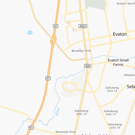
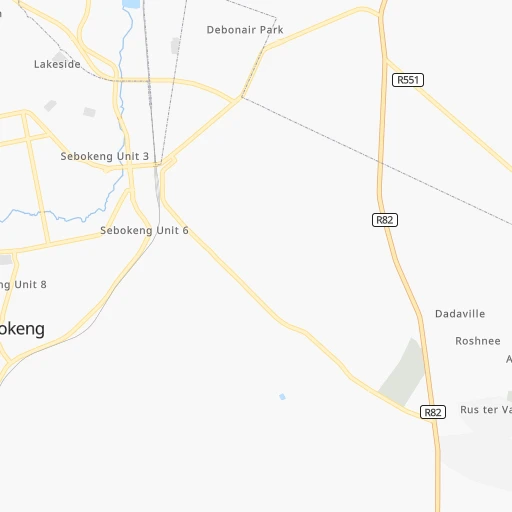
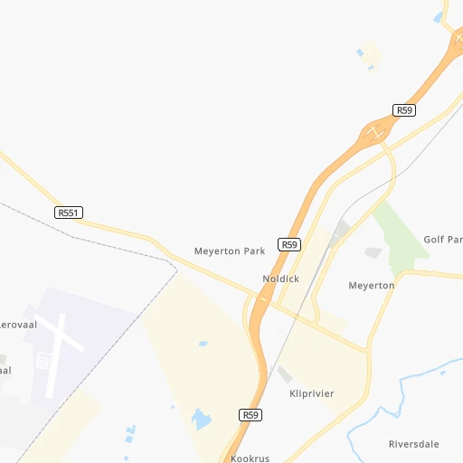
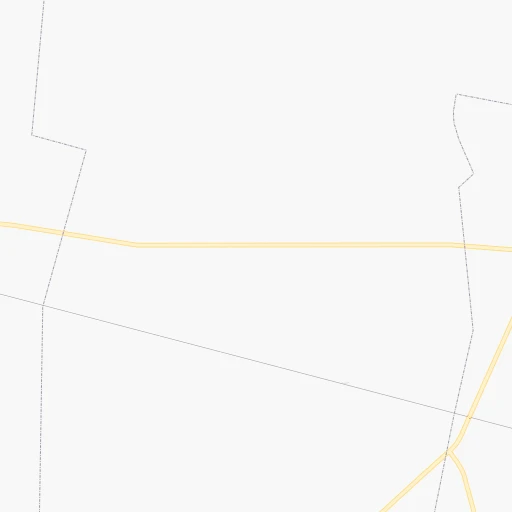
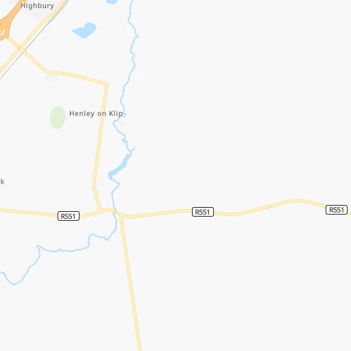
Roadmap (route) to go from Kwaggastroom to Cullinan detailed above, you can also see the course layout on the map.
While doing trip Kwaggastroom - Cullinan by car, the calculated route ends at a distance , or more straight.
Distance and duration of the route between Kwaggastroom and Cullinan
Calculation of distance and route from Cullinan to Kwaggastroom :
119.3141.4 km2h51mn
Continue 0h0mn 30 mTurn right onto Sebe Street 0h5mn 4.6 kmTurn right onto Union Street 0h5mn 5.4 kmTurn sharp left onto Main Vereeniging Road 0h23mn 28.6 kmKeep right onto R82 1h30mn 49.4 kmKeep left and take N14 toward Pretoria, Polokwane, Krugersdorp 0h0mn 531 mKeep right and take N14 toward Pretoria, Polokwane 0h8mn 12.6 kmKeep left and take R50, M9 toward Delmas, Erasmusrand 0h0mn 355 mKeep right and take N1 toward Delmas 0h0mn 214 mKeep left and take N1 toward Delmas 0h1mn 1.1 kmTurn left onto Nossob Street 0h1mn 726 mTurn right onto Lois Avenue 0h0mn 358 mKeep left 0h9mn 11.4 kmAt roundabout, take exit 2 onto Solomon Mahlangu Drive 0h7mn 9.0 kmKeep left toward M10 0h1mn 1.3 kmContinue onto Solomon Mahlangu Drive 0h2mn 1.8 kmTurn right onto Sefako Makgatho Drive 0h14mn 12.2 kmTurn sharp left onto Zonderwater Road 0h1mn 1.3 kmKeep right 0h0mn 71 mTurn left 0h1mn 565 mTurn sharp left onto Olienhout Road 0h0mn 27 mArrive at destination 0h0mn 0 m
Travel from Kwaggastroom (Gauteng) to a selection of major cities.
Distances from Kwaggastroom to biggest cities in Gauteng
- Alberton,121,536 inhabitants.42 km
- Mabopane,97,417 inhabitants.121 km
- Heidelberg,64,199 inhabitants.50 km
- Edenvale,49,292 inhabitants.55 km
- Ekangala,37,650 inhabitants.131 km
- Bronkhorstspruit,27,343 inhabitants.122 km
- Cullinan,25,490 inhabitants.120 km
- Midstream,25,000 inhabitants.79 km
Other major cities in country :
- Bhisho [05], 137,287 inhabitants. 700 km
- Worcester [11], 127,597 inhabitants. 1,130 km
- Rustenburg [10], 124,064 inhabitants. 118 km
- Polokwane [09], 123,749 inhabitants. 338 km
- Potchefstroom [10], 123,669 inhabitants. 78 km
- Virginia [03], 122,502 inhabitants. 198 km
- Brits [10], 122,497 inhabitants. 104 km
- Nelspruit [07], 110,159 inhabitants. 334 km
- Phalaborwa [09], 109,468 inhabitants. 441 km
- Queenstown [05], 105,309 inhabitants. 601 km
- Kroonstad [03], 103,992 inhabitants. 136 km
- Bethal [07], 101,919 inhabitants. 160 km
- Mokopane [09], 101,090 inhabitants. 288 km
- Kutloanong [03], 95,008 inhabitants. 179 km
- Stellenbosch [11], 94,263 inhabitants. 1,191 km
- Stilfontein [10], 93,110 inhabitants. 113 km
- Delmas [07], 92,046 inhabitants. 94 km
- Grahamstown [05], 91,548 inhabitants. 761 km
- Warmbaths [09], 90,210 inhabitants. 192 km
- Louis Trichardt [09], 86,854 inhabitants. 443 km
Route from Cullinan to major cities (South Africa).
- Distance Cullinan Cape Town1,339 km
- Distance Cullinan Durban527 km
- Distance Cullinan Port Elizabeth965 km
- Distance Cullinan Pietermaritzburg476 km
- Distance Cullinan East London820 km
- Distance Cullinan Bloemfontein447 km
- Distance Cullinan Welkom312 km
- Distance Cullinan Newcastle271 km
- Distance Cullinan Botshabelo438 km
- Distance Cullinan Witbank75 km
- Distance Cullinan Richards Bay491 km
- Distance Cullinan Uitenhage949 km
- Distance Cullinan Paarl1,286 km
- Distance Cullinan Klerksdorp227 km
- Distance Cullinan Middelburg95 km
- Distance Cullinan Vryheid325 km
- Distance Cullinan Orkney235 km
- Distance Cullinan Kimberley505 km
- Distance Cullinan eMbalenhle110 km
- Distance Cullinan Mpumalanga506 km
Nearest cities to Kwaggastroom :
- Johannesburg, 2,026,469 inhabitants. 44 km
- Soweto, 1,695,047 inhabitants. 33 km
- Pretoria, 1,619,438 inhabitants. 97 km
- Benoni, 605,344 inhabitants. 62 km
- Tembisa, 511,655 inhabitants. 73 km
- Vereeniging, 474,681 inhabitants. 13 km
- Bloemfontein, 463,064 inhabitants. 327 km
- Boksburg, 445,168 inhabitants. 56 km
- Welkom, 431,944 inhabitants. 193 km
- Newcastle, 404,838 inhabitants. 244 km
- Krugersdorp, 378,821 inhabitants. 54 km
- Diepsloot, 350,000 inhabitants. 72 km
- Randburg, 337,053 inhabitants. 54 km
- Botshabelo, 309,714 inhabitants. 321 km
- Brakpan, 305,692 inhabitants. 62 km
- Witbank, 262,491 inhabitants. 157 km
- Vanderbijlpark, 246,754 inhabitants. 16 km
- Centurion, 233,386 inhabitants. 85 km
- Roodepoort, 225,000 inhabitants. 45 km
- Springs, 186,394 inhabitants. 64 km
- Carletonville, 182,304 inhabitants. 52 km
- Klerksdorp, 178,921 inhabitants. 123 km
- Midrand, 173,009 inhabitants. 69 km
- Westonaria, 156,831 inhabitants. 35 km
- Middelburg, 154,706 inhabitants. 183 km
- Vryheid, 150,012 inhabitants. 319 km
- Orkney, 145,801 inhabitants. 127 km
- eMbalenhle, 141,741 inhabitants. 120 km
- Nigel, 140,644 inhabitants. 63 km
- Randfontein, 133,654 inhabitants. 45 km
- Rustenburg, 124,064 inhabitants. 118 km
- Polokwane, 123,749 inhabitants. 338 km
- Potchefstroom, 123,669 inhabitants. 78 km
- Virginia, 122,502 inhabitants. 198 km
- Brits, 122,497 inhabitants. 104 km
- Alberton, 121,536 inhabitants. 42 km
- Kroonstad, 103,992 inhabitants. 136 km
- Bethal, 101,919 inhabitants. 160 km
- Mokopane, 101,090 inhabitants. 288 km
- Mabopane, 97,417 inhabitants. 121 km
- Kutloanong, 95,008 inhabitants. 179 km
- Stilfontein, 93,110 inhabitants. 113 km
- Delmas, 92,046 inhabitants. 94 km
- Warmbaths, 90,210 inhabitants. 192 km
- Dundee, 84,413 inhabitants. 294 km
- Piet Retief, 84,349 inhabitants. 297 km
- Phuthaditjhaba, 84,258 inhabitants. 237 km
- Bethlehem, 83,654 inhabitants. 190 km
- Sasolburg, 77,016 inhabitants. 28 km
- Mmabatho, 76,754 inhabitants. 237 km
Location Kwaggastroom (Gauteng) :
| Country flag |  |
| Location | Kwaggastroom |
| State | Gauteng |
| County | Sedibeng District Municipality |
| Country | South Africa |
| Country code / ISO 2 | ZA |
| Latitude | -26.5662300 |
| Longitude | 27.8635500 |
| Altitude | 0 meters |
| Time zone | Africa/Johannesburg |
Location Cullinan (Gauteng) :
| Country flag | |
| Location | Cullinan |
| State | Gauteng |
| County | City of Tshwane Metropolitan Municipality |
| Country | South Africa |
| Country code / ISO 2 | ZA |
| Latitude | -25.6708800 |
| Longitude | 28.5236400 |
| Altitude | 0 meters |
| Time zone | Africa/Johannesburg |
