
How to get from Klerksdorp (airport) (North-West) to Randfontein (Gauteng)
Calculate route from Klerksdorp (airport) (North-West, South Africa) to Randfontein (Gauteng, South Africa).
The flight distance (as the crow flies) between Klerksdorp (airport) and Randfontein is 124.1 km.
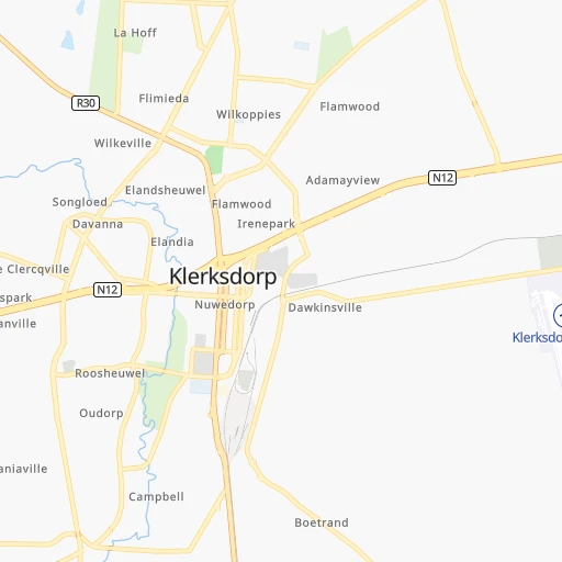
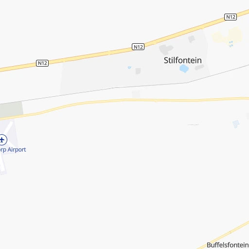
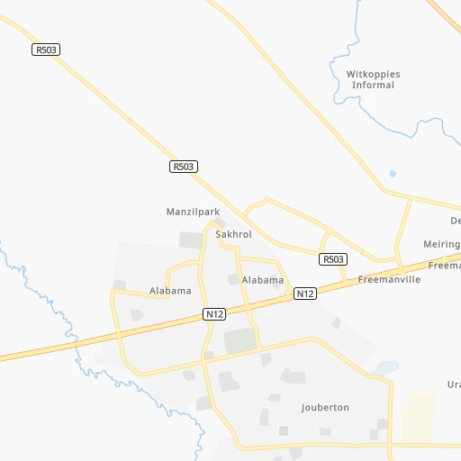
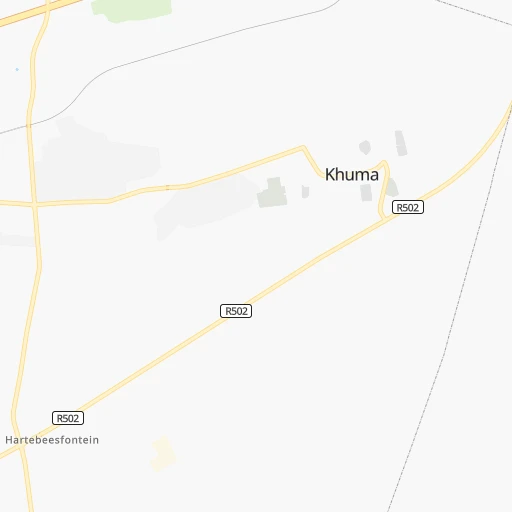
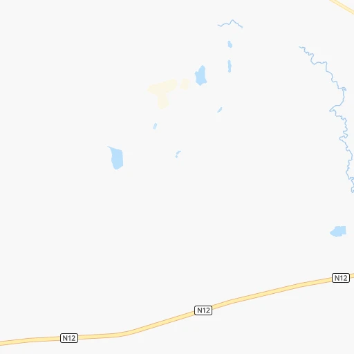
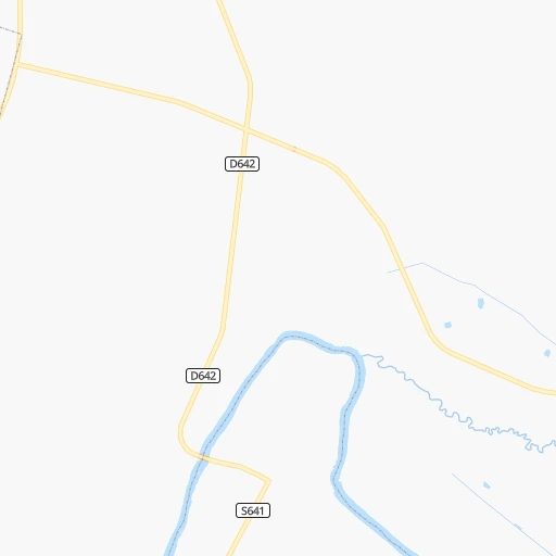
Roadmap (route) to go from Klerksdorp Airport to Randfontein detailed above, you can also see the course layout on the map.
While doing trip Klerksdorp (airport) - Randfontein by car, the calculated route ends at a distance , or more straight.
Distance and duration of the route between Klerksdorp (airport) and Randfontein
Calculation of distance and route from Randfontein to Klerksdorp (airport) :
124.1135.7 km2h54mn
Continue 0h1mn 693 mTurn right 0h7mn 6.1 kmTurn left 0h1mn 609 mContinue onto Brak Street 0h0mn 47 mTurn right onto Brak Street 0h0mn 115 mTurn slight left 0h1mn 498 mAt roundabout, take exit 2 onto Somerset Road 0h1mn 482 mAt roundabout, take exit 1 onto Hartebeestfontein Street 0h1mn 339 mContinue onto Hartebeestfontein Street 0h0mn 70 mTurn right onto N12 1h33mn 46.0 kmTurn slight left onto N12 1h51mn 62.6 kmKeep left toward R28 0h16mn 17.9 kmTurn left onto 2nd Street 0h0mn 158 mTurn right onto Park Street South 0h0mn 78 mArrive at destination 0h0mn 0 m
Travel from Klerksdorp (airport) (Gauteng) to a selection of major cities.
Distances from Klerksdorp Airport to biggest cities in North-West
Other major cities in country :
- Witbank [07], 262,491 inhabitants. 274 km
- Richards Bay [02], 252,968 inhabitants. 565 km
- Vanderbijlpark [06], 246,754 inhabitants. 113 km
- Centurion [06], 233,386 inhabitants. 185 km
- Uitenhage [05], 228,912 inhabitants. 777 km
- Roodepoort [06], 225,000 inhabitants. 139 km
- Paarl [11], 190,000 inhabitants. 1,066 km
- Springs [06], 186,394 inhabitants. 181 km
- Carletonville [06], 182,304 inhabitants. 88 km
- Midrand [06], 173,009 inhabitants. 171 km
- Westonaria [06], 156,831 inhabitants. 111 km
- Middelburg [07], 154,706 inhabitants. 300 km
- Vryheid [02], 150,012 inhabitants. 415 km
- Kimberley [08], 142,089 inhabitants. 283 km
- eMbalenhle [07], 141,741 inhabitants. 237 km
- Nigel [06], 140,644 inhabitants. 182 km
- Mpumalanga [02], 140,121 inhabitants. 505 km
- Bhisho [05], 137,287 inhabitants. 669 km
- Randfontein [06], 133,654 inhabitants. 124 km
- Worcester [11], 127,597 inhabitants. 1,028 km
Route from Randfontein to major cities (South Africa).
- Distance Randfontein Cape Town1,241 km
- Distance Randfontein Durban524 km
- Distance Randfontein Port Elizabeth889 km
- Distance Randfontein Pietermaritzburg465 km
- Distance Randfontein East London761 km
- Distance Randfontein Bloemfontein358 km
- Distance Randfontein Welkom221 km
- Distance Randfontein Newcastle282 km
- Distance Randfontein Botshabelo356 km
- Distance Randfontein Witbank157 km
- Distance Randfontein Richards Bay517 km
- Distance Randfontein Uitenhage872 km
- Distance Randfontein Paarl1,188 km
- Distance Randfontein Klerksdorp127 km
- Distance Randfontein Middelburg182 km
- Distance Randfontein Vryheid354 km
- Distance Randfontein Orkney135 km
- Distance Randfontein Kimberley406 km
- Distance Randfontein eMbalenhle142 km
- Distance Randfontein Mpumalanga496 km
Nearest cities to Klerksdorp (airport) :
- Johannesburg, 2,026,469 inhabitants. 152 km
- Soweto, 1,695,047 inhabitants. 132 km
- Pretoria, 1,619,438 inhabitants. 193 km
- Benoni, 605,344 inhabitants. 177 km
- Tembisa, 511,655 inhabitants. 179 km
- Vereeniging, 474,681 inhabitants. 122 km
- Bloemfontein, 463,064 inhabitants. 255 km
- Boksburg, 445,168 inhabitants. 170 km
- Welkom, 431,944 inhabitants. 123 km
- Krugersdorp, 378,821 inhabitants. 137 km
- Diepsloot, 350,000 inhabitants. 166 km
- Randburg, 337,053 inhabitants. 154 km
- Botshabelo, 309,714 inhabitants. 267 km
- Brakpan, 305,692 inhabitants. 179 km
- Witbank, 262,491 inhabitants. 274 km
- Vanderbijlpark, 246,754 inhabitants. 113 km
- Centurion, 233,386 inhabitants. 185 km
- Roodepoort, 225,000 inhabitants. 139 km
- Springs, 186,394 inhabitants. 181 km
- Carletonville, 182,304 inhabitants. 88 km
- Klerksdorp, 178,921 inhabitants. 6 km
- Midrand, 173,009 inhabitants. 171 km
- Westonaria, 156,831 inhabitants. 111 km
- Middelburg, 154,706 inhabitants. 300 km
- Orkney, 145,801 inhabitants. 13 km
- Kimberley, 142,089 inhabitants. 283 km
- eMbalenhle, 141,741 inhabitants. 237 km
- Nigel, 140,644 inhabitants. 182 km
- Randfontein, 133,654 inhabitants. 124 km
- Rustenburg, 124,064 inhabitants. 144 km
- Polokwane, 123,749 inhabitants. 431 km
- Potchefstroom, 123,669 inhabitants. 42 km
- Virginia, 122,502 inhabitants. 138 km
- Brits, 122,497 inhabitants. 174 km
- Alberton, 121,536 inhabitants. 155 km
- Kroonstad, 103,992 inhabitants. 101 km
- Bethal, 101,919 inhabitants. 277 km
- Mokopane, 101,090 inhabitants. 377 km
- Mabopane, 97,417 inhabitants. 206 km
- Kutloanong, 95,008 inhabitants. 107 km
- Stilfontein, 93,110 inhabitants. 6 km
- Delmas, 92,046 inhabitants. 212 km
- Warmbaths, 90,210 inhabitants. 271 km
- Phuthaditjhaba, 84,258 inhabitants. 277 km
- Bethlehem, 83,654 inhabitants. 218 km
- Sasolburg, 77,016 inhabitants. 109 km
- Mmabatho, 76,754 inhabitants. 157 km
- Standerton, 74,021 inhabitants. 251 km
- Bothaville, 71,934 inhabitants. 58 km
- Parys, 71,319 inhabitants. 73 km
Location Klerksdorp (airport) (North-West) :
| Country flag |  |
| Location | Klerksdorp (airport) |
| State | North-West |
| County | Dr Kenneth Kaunda District Municipality |
| Country | South Africa |
| Country code / ISO 2 | ZA |
| Latitude | -26.8710600 |
| Longitude | 26.7180000 |
| Altitude | 1354 meters |
| Time zone | Africa/Johannesburg |
Location Randfontein (Gauteng) :
| Country flag | |
| Location | Randfontein |
| State | Gauteng |
| County | West Rand District Municipality |
| Country | South Africa |
| Country code / ISO 2 | ZA |
| Latitude | -26.1844000 |
| Longitude | 27.7020300 |
| Altitude | 0 meters |
| Time zone | Africa/Johannesburg |

