

How to get from Sea View (KwaZulu-Natal) to Villiers (Orange Free State)
Calculate route from Sea View (KwaZulu-Natal, South Africa) to Villiers (Orange Free State, South Africa).
The flight distance (as the crow flies) between Sea View and Villiers is 392.9 km.
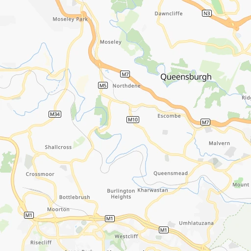
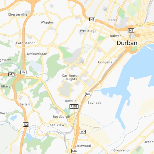
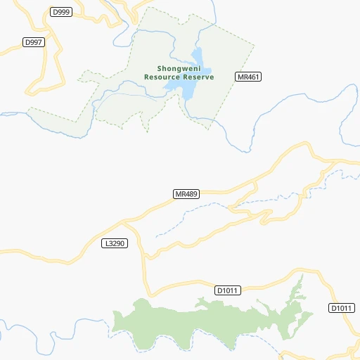
Roadmap (route) to go from Sea View to Villiers detailed above, you can also see the course layout on the map.
While doing trip Sea View - Villiers by car, the calculated route ends at a distance , or more straight.
Distance and duration of the route between Sea View and Villiers
Calculation of distance and route from Villiers to Sea View :
392.9446.5 km5h15mn
Continue 0h2mn 760 mTurn left onto Coedmore Road 0h1mn 536 mTurn left onto Stainbank Avenue 0h1mn 354 mTurn sharp left onto Royston Road 0h2mn 958 mTurn right onto Dickens Road 0h1mn 306 mTurn left onto Sarnia Road 0h3mn 2.8 kmTurn right onto Bellville Road 0h0mn 61 mKeep left toward M7 0h5mn 8.0 kmKeep left and take N3 toward Pietermaritzburg 0h4mn 6.5 kmKeep right onto N3 0h28mn 49.0 kmKeep left toward R103 0h8mn 8.3 kmAt roundabout, take exit 2 onto Peter Brown Drive 0h0mn 142 mKeep left and take N3 toward Harrismith 1h35mn 56.6 kmKeep left and drive toward Mooi River, Greytown 1h58mn 102.8 kmKeep left and take R103 toward Ladysmith 0h1mn 477 mTurn left and take N3 toward Harrismith 0h1mn 2.2 kmTurn slight left onto N3 3h43mn 203.1 kmKeep left and take R26 toward Villiers, Frankfort, Gladdedrif 0h1mn 678 mTurn left onto R26 0h1mn 1.0 kmTurn right onto R54 0h2mn 1.7 kmTurn left 0h0mn 20 mArrive at destination 0h0mn 0 m
Travel from Sea View (Orange Free State) to a selection of major cities.
Distances from Sea View to biggest cities in KwaZulu-Natal
Other major cities in country :
- Uitenhage [05], 228,912 inhabitants. 678 km
- Roodepoort [06], 225,000 inhabitants. 514 km
- Paarl [11], 190,000 inhabitants. 1,209 km
- Springs [06], 186,394 inhabitants. 477 km
- Carletonville [06], 182,304 inhabitants. 526 km
- Klerksdorp [10], 178,921 inhabitants. 539 km
- Midrand [06], 173,009 inhabitants. 516 km
- Westonaria [06], 156,831 inhabitants. 514 km
- Middelburg [07], 154,706 inhabitants. 482 km
- Orkney [10], 145,801 inhabitants. 530 km
- Kimberley [08], 142,089 inhabitants. 614 km
- eMbalenhle [07], 141,741 inhabitants. 418 km
- Nigel [06], 140,644 inhabitants. 456 km
- Bhisho [05], 137,287 inhabitants. 468 km
- Randfontein [06], 133,654 inhabitants. 522 km
- Worcester [11], 127,597 inhabitants. 1,165 km
- Rustenburg [10], 124,064 inhabitants. 596 km
- Polokwane [09], 123,749 inhabitants. 683 km
- Potchefstroom [10], 123,669 inhabitants. 518 km
- Virginia [03], 122,502 inhabitants. 445 km
Route from Villiers to major cities (South Africa).
- Distance Villiers Cape Town1,241 km
- Distance Villiers Durban394 km
- Distance Villiers Johannesburg108 km
- Distance Villiers Soweto112 km
- Distance Villiers Pretoria149 km
- Distance Villiers Port Elizabeth823 km
- Distance Villiers Pietermaritzburg337 km
- Distance Villiers Benoni98 km
- Distance Villiers Tembisa121 km
- Distance Villiers East London670 km
- Distance Villiers Vereeniging78 km
- Distance Villiers Boksburg97 km
- Distance Villiers Newcastle155 km
- Distance Villiers Krugersdorp133 km
- Distance Villiers Diepsloot135 km
- Distance Villiers Randburg120 km
- Distance Villiers Brakpan91 km
- Distance Villiers Witbank144 km
- Distance Villiers Richards Bay390 km
- Distance Villiers Vanderbijlpark84 km
Nearest cities to Sea View :
- Durban, 3,120,282 inhabitants. 9 km
- Pietermaritzburg, 750,845 inhabitants. 62 km
- Newcastle, 404,838 inhabitants. 258 km
- Richards Bay, 252,968 inhabitants. 163 km
- Vryheid, 150,012 inhabitants. 238 km
- Mpumalanga, 140,121 inhabitants. 32 km
- Dundee, 84,413 inhabitants. 205 km
- Piet Retief, 84,349 inhabitants. 322 km
- Phuthaditjhaba, 84,258 inhabitants. 258 km
- Bethlehem, 83,654 inhabitants. 317 km
- Mthatha, 78,663 inhabitants. 280 km
- Standerton, 74,021 inhabitants. 370 km
- KwaDukuza, 59,899 inhabitants. 72 km
- Heilbron, 55,196 inhabitants. 412 km
- Port Shepstone, 52,793 inhabitants. 105 km
- eSikhaleni, 49,265 inhabitants. 147 km
- Mondlo, 44,922 inhabitants. 215 km
- Volksrust, 43,378 inhabitants. 301 km
- Harrismith, 35,108 inhabitants. 253 km
- Margate, 34,407 inhabitants. 121 km
- Butterworth, 34,353 inhabitants. 380 km
- Richmond, 32,445 inhabitants. 65 km
- Howick, 28,725 inhabitants. 84 km
- Driefontein, 28,127 inhabitants. 325 km
- Empangeni, 28,093 inhabitants. 156 km
- Mpophomeni, 26,229 inhabitants. 83 km
- Kokstad, 25,373 inhabitants. 163 km
- Scottburgh, 23,949 inhabitants. 47 km
- Ulundi, 20,753 inhabitants. 180 km
- eMkhomazi, 20,410 inhabitants. 37 km
- Ballito, 17,218 inhabitants. 48 km
- Reitz, 16,637 inhabitants. 339 km
- Berea, 15,000 inhabitants. 7 km
- Eshowe, 14,786 inhabitants. 124 km
- Vrede, 14,622 inhabitants. 326 km
- Ekuvukeni, 14,331 inhabitants. 177 km
- Greytown, 13,912 inhabitants. 99 km
- Glencoe, 13,547 inhabitants. 207 km
- Sundumbili, 12,455 inhabitants. 96 km
- Villiers, 11,240 inhabitants. 394 km
- Mooirivier, 10,132 inhabitants. 120 km
- Port Saint John's, 5,939 inhabitants. 234 km
- Utrecht, 3,575 inhabitants. 257 km
Location Sea View (KwaZulu-Natal) :
| Country flag |  |
| Location | Sea View |
| State | KwaZulu-Natal |
| County | eThekwini Metropolitan Municipality |
| Country | South Africa |
| Country code / ISO 2 | ZA |
| Latitude | -29.9000000 |
| Longitude | 30.9500000 |
| Altitude | 0 meters |
| Time zone | Africa/Johannesburg |
Location Villiers (Orange Free State) :
| Country flag | |
| Location | Villiers |
| State | Orange Free State |
| County | Fezile Dabi District Municipality |
| Country | South Africa |
| Country code / ISO 2 | ZA |
| Latitude | -27.0302600 |
| Longitude | 28.6006100 |
| Altitude | 0 meters |
| Time zone | Africa/Johannesburg |