
How to get from Swartkop (Orange Free State) to Allanridge (Orange Free State)
Calculate route from Swartkop (Orange Free State, South Africa) to Allanridge (Orange Free State, South Africa).
The flight distance (as the crow flies) between Swartkop and Allanridge is 148.2 km.
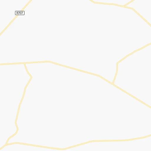
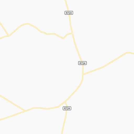
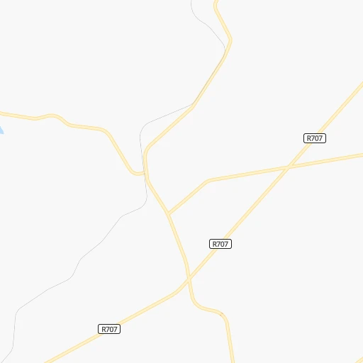
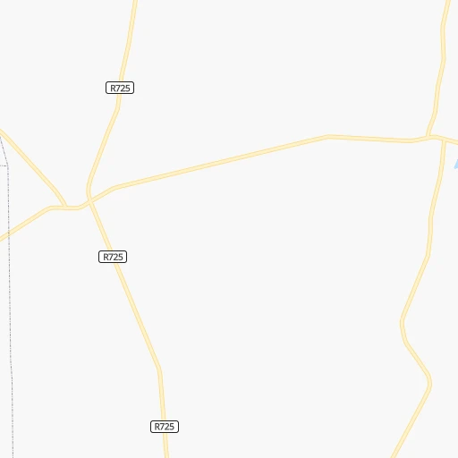
Roadmap (route) to go from Swartkop to Allanridge detailed above, you can also see the course layout on the map.
While doing trip Swartkop - Allanridge by car, the calculated route ends at a distance , or more straight.
Distance and duration of the route between Swartkop and Allanridge
Calculation of distance and route from Allanridge to Swartkop :
148.2187.7 km3h56mn
Continue 0h3mn 1.3 kmTurn left 0h7mn 3.3 kmTurn right 0h17mn 8.5 kmKeep left onto R707 0h17mn 16.8 kmTurn right 0h0mn 245 mTurn left 0h0mn 5 mTurn right 0h0mn 66 mTurn left 0h0mn 129 mTurn right 0h0mn 245 mTurn left 0h0mn 27 mKeep right 0h1mn 405 mTurn right onto James van Huysteen Street 1h12mn 79.3 kmTurn right and take N1 toward Bloemfontein, Odendaalsrus, Welkom 0h1mn 1.2 kmKeep right and take R34 toward Odendaalsrus, Welkom 1h32mn 47.9 kmKeep right 0h0mn 158 mContinue onto Athea Road 0h8mn 10.5 kmAt roundabout, take exit 3 0h0mn 424 mAt roundabout, take exit 1 onto Odendaal Street 0h2mn 1.7 kmTurn right onto R30 0h13mn 13.9 kmKeep left 0h0mn 242 mTurn slight left onto Buffalo Road 0h0mn 347 mTurn sharp right onto Hout Street 0h0mn 114 mTurn left onto Brak Street 0h0mn 60 mTurn right onto Indwe Street 0h0mn 144 mTurn sharp left onto Waterval Street 0h1mn 671 mTurn left onto Kafue Street 0h0mn 68 mArrive at destination 0h0mn 0 m
Travel from Swartkop (Orange Free State) to a selection of major cities.
Distances from Swartkop to biggest cities in Orange Free State
Other major cities in country :
- Centurion [06], 233,386 inhabitants. 216 km
- Uitenhage [05], 228,912 inhabitants. 713 km
- Roodepoort [06], 225,000 inhabitants. 184 km
- Paarl [11], 190,000 inhabitants. 1,098 km
- Springs [06], 186,394 inhabitants. 174 km
- Carletonville [06], 182,304 inhabitants. 177 km
- Klerksdorp [10], 178,921 inhabitants. 181 km
- Midrand [06], 173,009 inhabitants. 202 km
- Westonaria [06], 156,831 inhabitants. 172 km
- Middelburg [07], 154,706 inhabitants. 261 km
- Vryheid [02], 150,012 inhabitants. 260 km
- Orkney [10], 145,801 inhabitants. 172 km
- Kimberley [08], 142,089 inhabitants. 348 km
- eMbalenhle [07], 141,741 inhabitants. 168 km
- Nigel [06], 140,644 inhabitants. 156 km
- Mpumalanga [02], 140,121 inhabitants. 330 km
- Bhisho [05], 137,287 inhabitants. 566 km
- Randfontein [06], 133,654 inhabitants. 185 km
- Worcester [11], 127,597 inhabitants. 1,056 km
- Rustenburg [10], 124,064 inhabitants. 254 km
Route from Allanridge to major cities (South Africa).
- Distance Allanridge Cape Town1,043 km
- Distance Allanridge Durban488 km
- Distance Allanridge Johannesburg222 km
- Distance Allanridge Soweto205 km
- Distance Allanridge Pretoria271 km
- Distance Allanridge Port Elizabeth698 km
- Distance Allanridge Pietermaritzburg421 km
- Distance Allanridge Benoni241 km
- Distance Allanridge Tembisa251 km
- Distance Allanridge East London598 km
- Distance Allanridge Vereeniging175 km
- Distance Allanridge Boksburg235 km
- Distance Allanridge Newcastle324 km
- Distance Allanridge Krugersdorp217 km
- Distance Allanridge Diepsloot244 km
- Distance Allanridge Randburg229 km
- Distance Allanridge Brakpan240 km
- Distance Allanridge Witbank332 km
- Distance Allanridge Richards Bay541 km
- Distance Allanridge Vanderbijlpark166 km
Nearest cities to Swartkop :
- Durban, 3,120,282 inhabitants. 362 km
- Johannesburg, 2,026,469 inhabitants. 178 km
- Soweto, 1,695,047 inhabitants. 173 km
- Pretoria, 1,619,438 inhabitants. 229 km
- Pietermaritzburg, 750,845 inhabitants. 298 km
- Benoni, 605,344 inhabitants. 180 km
- Tembisa, 511,655 inhabitants. 201 km
- Vereeniging, 474,681 inhabitants. 127 km
- Bloemfontein, 463,064 inhabitants. 240 km
- Boksburg, 445,168 inhabitants. 177 km
- Welkom, 431,944 inhabitants. 141 km
- Newcastle, 404,838 inhabitants. 176 km
- Krugersdorp, 378,821 inhabitants. 194 km
- Diepsloot, 350,000 inhabitants. 208 km
- Randburg, 337,053 inhabitants. 190 km
- Botshabelo, 309,714 inhabitants. 215 km
- Brakpan, 305,692 inhabitants. 175 km
- Witbank, 262,491 inhabitants. 240 km
- Vanderbijlpark, 246,754 inhabitants. 125 km
- Centurion, 233,386 inhabitants. 216 km
- Roodepoort, 225,000 inhabitants. 184 km
- Springs, 186,394 inhabitants. 174 km
- Carletonville, 182,304 inhabitants. 177 km
- Klerksdorp, 178,921 inhabitants. 181 km
- Midrand, 173,009 inhabitants. 202 km
- Westonaria, 156,831 inhabitants. 172 km
- Middelburg, 154,706 inhabitants. 261 km
- Vryheid, 150,012 inhabitants. 260 km
- Orkney, 145,801 inhabitants. 172 km
- eMbalenhle, 141,741 inhabitants. 168 km
- Nigel, 140,644 inhabitants. 156 km
- Mpumalanga, 140,121 inhabitants. 330 km
- Randfontein, 133,654 inhabitants. 185 km
- Rustenburg, 124,064 inhabitants. 254 km
- Potchefstroom, 123,669 inhabitants. 159 km
- Virginia, 122,502 inhabitants. 131 km
- Brits, 122,497 inhabitants. 244 km
- Alberton, 121,536 inhabitants. 171 km
- Nelspruit, 110,159 inhabitants. 382 km
- Kroonstad, 103,992 inhabitants. 92 km
- Bethal, 101,919 inhabitants. 198 km
- Mabopane, 97,417 inhabitants. 256 km
- Kutloanong, 95,008 inhabitants. 138 km
- Stilfontein, 93,110 inhabitants. 173 km
- Delmas, 92,046 inhabitants. 192 km
- Warmbaths, 90,210 inhabitants. 325 km
- Dundee, 84,413 inhabitants. 209 km
- Piet Retief, 84,349 inhabitants. 278 km
- Phuthaditjhaba, 84,258 inhabitants. 104 km
- Bethlehem, 83,654 inhabitants. 50 km
Location Swartkop (Orange Free State) :
| Country flag |  |
| Location | Swartkop |
| State | Orange Free State |
| County | Thabo Mofutsanyana District Municipality |
| Country | South Africa |
| Country code / ISO 2 | ZA |
| Latitude | -27.8000000 |
| Longitude | 28.1500000 |
| Altitude | 0 meters |
| Time zone | Africa/Johannesburg |
Location Allanridge (Orange Free State) :
| Country flag | |
| Location | Allanridge |
| State | Orange Free State |
| County | Lejweleputswa District Municipality |
| Country | South Africa |
| Country code / ISO 2 | ZA |
| Latitude | -27.7543100 |
| Longitude | 26.6438200 |
| Altitude | 0 meters |
| Time zone | Africa/Johannesburg |