
How to get from Trompsburg (Orange Free State) to Botshabelo (Orange Free State)
Calculate route from Trompsburg (Orange Free State, South Africa) to Botshabelo (Orange Free State, South Africa).
The flight distance (as the crow flies) between Trompsburg and Botshabelo is 124.6 km.
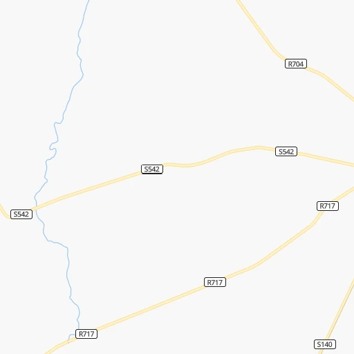
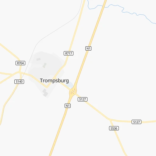
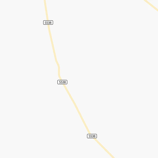
Roadmap (route) to go from Trompsburg to Botshabelo detailed above, you can also see the course layout on the map.
While doing trip Trompsburg - Botshabelo by car, the calculated route ends at a distance , or more straight.
Distance and duration of the route between Trompsburg and Botshabelo
Calculation of distance and route from Botshabelo to Trompsburg :
124.6174.0 km2h0mn
Continue 0h0mn 116 mTurn right onto Daisy Street 0h0mn 184 mTurn left onto Roos Street 0h0mn 138 mKeep right 0h0mn 117 mKeep right onto Vygie Street 0h1mn 360 mTurn right 0h0mn 202 mKeep left 0h1mn 257 mTurn right onto Abel Street 0h1mn 687 mTurn left onto R717, R704 0h0mn 163 mTurn right onto R704 0h1mn 1.1 kmTurn left and take N1 toward Bloemfontein 0h0mn 510 mTurn slight left onto N1 1h56mn 100.7 kmKeep left and take N6 toward Aliwal North, East London, Mangaung 0h0mn 464 mTurn sharp right onto N6 0h0mn 299 mKeep left 0h2mn 2.2 kmTurn right 0h0mn 320 mKeep left 0h0mn 65 mTurn left onto Oliver Tambo Road 0h2mn 2.3 kmTurn right onto George Lubbe Street toward M10 Hamilton 0h9mn 9.5 kmKeep left toward N8 1h31mn 44.4 kmKeep left 0h1mn 615 mTurn right onto Main Road 0h10mn 8.3 kmTurn left 0h0mn 215 mTurn right 0h1mn 680 mArrive at destination 0h0mn 0 m
Travel from Trompsburg (Orange Free State) to a selection of major cities.
Distances from Trompsburg to biggest cities in Orange Free State
Other major cities in country :
- Centurion [06], 233,386 inhabitants. 520 km
- Uitenhage [05], 228,912 inhabitants. 418 km
- Roodepoort [06], 225,000 inhabitants. 476 km
- Paarl [11], 190,000 inhabitants. 764 km
- Springs [06], 186,394 inhabitants. 493 km
- Carletonville [06], 182,304 inhabitants. 437 km
- Klerksdorp [10], 178,921 inhabitants. 363 km
- Midrand [06], 173,009 inhabitants. 505 km
- Westonaria [06], 156,831 inhabitants. 451 km
- Middelburg [07], 154,706 inhabitants. 596 km
- Vryheid [02], 150,012 inhabitants. 550 km
- Orkney [10], 145,801 inhabitants. 349 km
- Kimberley [08], 142,089 inhabitants. 173 km
- eMbalenhle [07], 141,741 inhabitants. 505 km
- Nigel [06], 140,644 inhabitants. 480 km
- Mpumalanga [02], 140,121 inhabitants. 470 km
- Bhisho [05], 137,287 inhabitants. 353 km
- Randfontein [06], 133,654 inhabitants. 467 km
- Worcester [11], 127,597 inhabitants. 721 km
- Rustenburg [10], 124,064 inhabitants. 505 km
Route from Botshabelo to major cities (South Africa).
- Distance Botshabelo Cape Town942 km
- Distance Botshabelo Durban422 km
- Distance Botshabelo Johannesburg365 km
- Distance Botshabelo Soweto352 km
- Distance Botshabelo Pretoria418 km
- Distance Botshabelo Port Elizabeth533 km
- Distance Botshabelo Pietermaritzburg358 km
- Distance Botshabelo Benoni377 km
- Distance Botshabelo Tembisa393 km
- Distance Botshabelo East London432 km
- Distance Botshabelo Vereeniging312 km
- Distance Botshabelo Boksburg372 km
- Distance Botshabelo Newcastle356 km
- Distance Botshabelo Krugersdorp369 km
- Distance Botshabelo Diepsloot392 km
- Distance Botshabelo Randburg375 km
- Distance Botshabelo Brakpan374 km
- Distance Botshabelo Witbank452 km
- Distance Botshabelo Richards Bay520 km
- Distance Botshabelo Vanderbijlpark305 km
Nearest cities to Trompsburg :
- East London, 478,676 inhabitants. 391 km
- Bloemfontein, 463,064 inhabitants. 109 km
- Welkom, 431,944 inhabitants. 246 km
- Botshabelo, 309,714 inhabitants. 125 km
- Kimberley, 142,089 inhabitants. 173 km
- Bhisho, 137,287 inhabitants. 353 km
- Virginia, 122,502 inhabitants. 238 km
- Queenstown, 105,309 inhabitants. 235 km
- Kroonstad, 103,992 inhabitants. 300 km
- Kutloanong, 95,008 inhabitants. 261 km
- Bethlehem, 83,654 inhabitants. 317 km
- Bothaville, 71,934 inhabitants. 304 km
- Schweizer-Reneke, 70,214 inhabitants. 318 km
- Graaff-Reinet, 62,896 inhabitants. 275 km
- Fort Beaufort, 58,419 inhabitants. 318 km
- Heilbron, 55,196 inhabitants. 373 km
- Viljoenskroon, 54,955 inhabitants. 333 km
- Wolmaransstad, 49,366 inhabitants. 315 km
- Aliwal North, 44,436 inhabitants. 118 km
- Wesselsbron, 42,552 inhabitants. 248 km
- Senekal, 39,584 inhabitants. 261 km
- Thaba Nchu, 38,616 inhabitants. 137 km
- Stutterheim, 35,510 inhabitants. 325 km
- Theunissen, 34,718 inhabitants. 200 km
- Butterworth, 34,353 inhabitants. 343 km
- Cradock, 32,898 inhabitants. 239 km
- De Aar, 32,318 inhabitants. 183 km
- Allanridge, 31,700 inhabitants. 266 km
- Postmasburg, 30,089 inhabitants. 323 km
- Lady Frere, 25,041 inhabitants. 234 km
- Hennenman, 22,847 inhabitants. 258 km
- Pampierstad, 21,800 inhabitants. 270 km
- Queensdale, 20,009 inhabitants. 237 km
- Middelburg, 18,164 inhabitants. 180 km
- Warrenton, 17,946 inhabitants. 230 km
- Christiana, 17,523 inhabitants. 241 km
- Ladybrand, 17,228 inhabitants. 187 km
- Bloemhof, 17,122 inhabitants. 264 km
- Reitz, 16,637 inhabitants. 358 km
- Somerset East, 16,155 inhabitants. 302 km
- Jan Kempdorp, 13,485 inhabitants. 250 km
- Hoopstad, 12,663 inhabitants. 244 km
- Burgersdorp, 12,548 inhabitants. 122 km
- Zastron, 12,449 inhabitants. 131 km
- Colesberg, 12,423 inhabitants. 101 km
- Clocolan, 12,318 inhabitants. 213 km
- Adelaide, 12,212 inhabitants. 304 km
- Brandfort, 12,091 inhabitants. 161 km
- Whittlesea, 12,080 inhabitants. 261 km
- Lindley, 12,000 inhabitants. 317 km
Location Trompsburg (Orange Free State) :
| Country flag |  |
| Location | Trompsburg |
| State | Orange Free State |
| County | Xhariep District Municipality |
| Country | South Africa |
| Country code / ISO 2 | ZA |
| Latitude | -30.0166700 |
| Longitude | 25.7666700 |
| Altitude | 0 meters |
| Time zone | Africa/Johannesburg |
Location Botshabelo (Orange Free State) :
| Country flag | |
| Location | Botshabelo |
| State | Orange Free State |
| County | Mangaung Metropolitan Municipality |
| Country | South Africa |
| Country code / ISO 2 | ZA |
| Latitude | -29.2673700 |
| Longitude | 26.7259500 |
| Altitude | 0 meters |
| Time zone | Africa/Johannesburg |