

How to get from Wurasoord (Orange Free State) to Klerksdorp (North-West)
Calculate route from Wurasoord (Orange Free State, South Africa) to Klerksdorp (North-West, South Africa).
The flight distance (as the crow flies) between Wurasoord and Klerksdorp is 313.6 km.
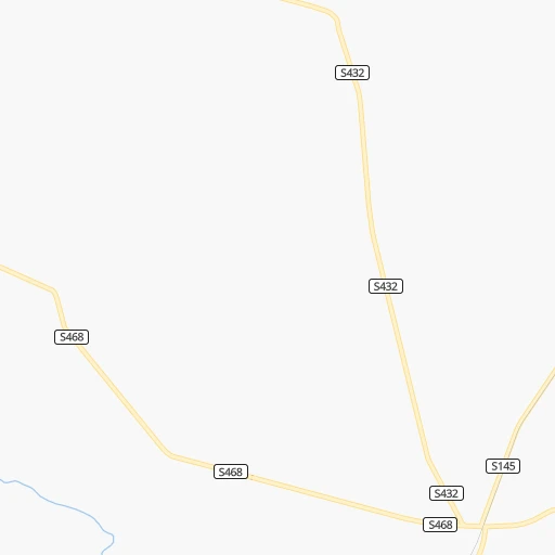
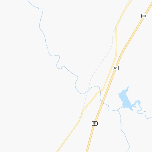
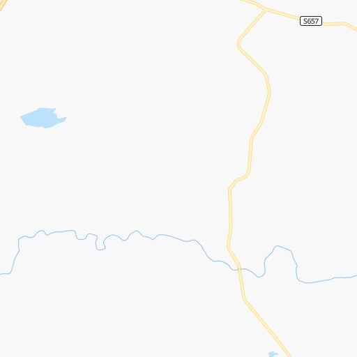
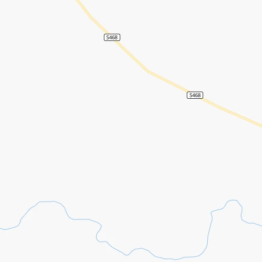
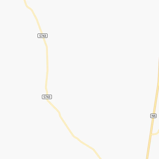
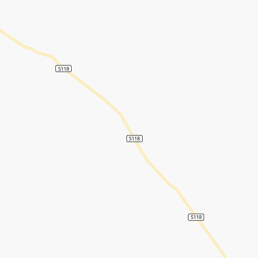
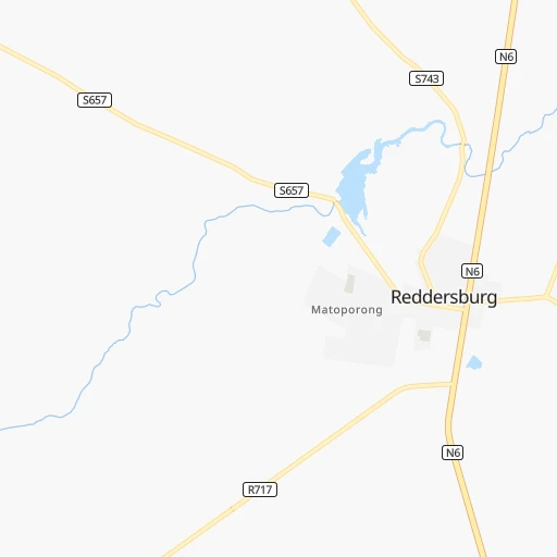
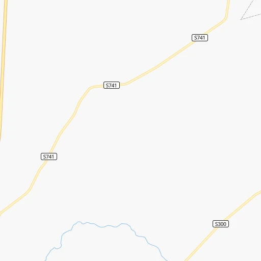
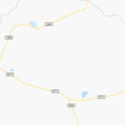
Roadmap (route) to go from Wurasoord to Klerksdorp detailed above, you can also see the course layout on the map.
While doing trip Wurasoord - Klerksdorp by car, the calculated route ends at a distance , or more straight.
Distance and duration of the route between Wurasoord and Klerksdorp
Calculation of distance and route from Klerksdorp to Wurasoord :
313.6345.5 km5h33mn
Continue 0h1mn 603 mTurn right onto S468 0h3mn 1.5 kmTurn left 0h1mn 881 mTurn slight left onto N1 1h38mn 68.4 kmKeep left and take R700 toward Bultfontein 0h0mn 534 mTurn left onto R700 1h59mn 86.9 kmTurn right onto Diamond Street 0h2mn 2.2 kmTurn left onto President Swart Street 2h33mn 102.7 kmKeep left 0h0mn 69 mTurn slight left onto R30 1h15mn 81.5 kmTurn right onto Arcadia Street 0h1mn 257 mArrive at destination 0h0mn 0 m
Travel from Wurasoord (North-West) to a selection of major cities.
Distances from Wurasoord to biggest cities in Orange Free State
Other major cities in country :
- Centurion [06], 233,386 inhabitants. 470 km
- Uitenhage [05], 228,912 inhabitants. 465 km
- Roodepoort [06], 225,000 inhabitants. 426 km
- Paarl [11], 190,000 inhabitants. 808 km
- Springs [06], 186,394 inhabitants. 442 km
- Carletonville [06], 182,304 inhabitants. 387 km
- Klerksdorp [10], 178,921 inhabitants. 314 km
- Midrand [06], 173,009 inhabitants. 454 km
- Westonaria [06], 156,831 inhabitants. 401 km
- Middelburg [07], 154,706 inhabitants. 547 km
- Vryheid [02], 150,012 inhabitants. 511 km
- Orkney [10], 145,801 inhabitants. 300 km
- Kimberley [08], 142,089 inhabitants. 155 km
- eMbalenhle [07], 141,741 inhabitants. 456 km
- Nigel [06], 140,644 inhabitants. 430 km
- Mpumalanga [02], 140,121 inhabitants. 449 km
- Bhisho [05], 137,287 inhabitants. 385 km
- Randfontein [06], 133,654 inhabitants. 417 km
- Worcester [11], 127,597 inhabitants. 766 km
- Rustenburg [10], 124,064 inhabitants. 456 km
Route from Klerksdorp to major cities (South Africa).
- Distance Klerksdorp Cape Town1,116 km
- Distance Klerksdorp Durban543 km
- Distance Klerksdorp Johannesburg155 km
- Distance Klerksdorp Soweto135 km
- Distance Klerksdorp Pretoria196 km
- Distance Klerksdorp Port Elizabeth798 km
- Distance Klerksdorp Pietermaritzburg478 km
- Distance Klerksdorp Benoni181 km
- Distance Klerksdorp Tembisa182 km
- Distance Klerksdorp East London696 km
- Distance Klerksdorp Vereeniging127 km
- Distance Klerksdorp Bloemfontein256 km
- Distance Klerksdorp Boksburg174 km
- Distance Klerksdorp Welkom125 km
- Distance Klerksdorp Newcastle338 km
- Distance Klerksdorp Krugersdorp140 km
- Distance Klerksdorp Diepsloot169 km
- Distance Klerksdorp Randburg157 km
- Distance Klerksdorp Botshabelo269 km
- Distance Klerksdorp Brakpan183 km
Nearest cities to Wurasoord :
- Vereeniging, 474,681 inhabitants. 378 km
- Bloemfontein, 463,064 inhabitants. 58 km
- Welkom, 431,944 inhabitants. 196 km
- Botshabelo, 309,714 inhabitants. 80 km
- Vanderbijlpark, 246,754 inhabitants. 370 km
- Klerksdorp, 178,921 inhabitants. 314 km
- Orkney, 145,801 inhabitants. 300 km
- Kimberley, 142,089 inhabitants. 155 km
- Potchefstroom, 123,669 inhabitants. 340 km
- Virginia, 122,502 inhabitants. 188 km
- Queenstown, 105,309 inhabitants. 268 km
- Kroonstad, 103,992 inhabitants. 249 km
- Kutloanong, 95,008 inhabitants. 211 km
- Stilfontein, 93,110 inhabitants. 317 km
- Phuthaditjhaba, 84,258 inhabitants. 299 km
- Bethlehem, 83,654 inhabitants. 272 km
- Mthatha, 78,663 inhabitants. 346 km
- Sasolburg, 77,016 inhabitants. 359 km
- Bothaville, 71,934 inhabitants. 255 km
- Parys, 71,319 inhabitants. 334 km
- Schweizer-Reneke, 70,214 inhabitants. 278 km
- Graaff-Reinet, 62,896 inhabitants. 326 km
- Heilbron, 55,196 inhabitants. 323 km
- Viljoenskroon, 54,955 inhabitants. 283 km
- Vryburg, 49,588 inhabitants. 321 km
- Wolmaransstad, 49,366 inhabitants. 269 km
- Balfour, 46,008 inhabitants. 415 km
- Aliwal North, 44,436 inhabitants. 138 km
- Wesselsbron, 42,552 inhabitants. 199 km
- Senekal, 39,584 inhabitants. 213 km
- Thaba Nchu, 38,616 inhabitants. 93 km
- Stutterheim, 35,510 inhabitants. 356 km
- Theunissen, 34,718 inhabitants. 150 km
- Butterworth, 34,353 inhabitants. 365 km
- Cradock, 32,898 inhabitants. 286 km
- De Aar, 32,318 inhabitants. 224 km
- Allanridge, 31,700 inhabitants. 216 km
- Postmasburg, 30,089 inhabitants. 319 km
- Lady Frere, 25,041 inhabitants. 261 km
- Hennenman, 22,847 inhabitants. 208 km
- Pampierstad, 21,800 inhabitants. 241 km
- Queensdale, 20,009 inhabitants. 268 km
- Middelburg, 18,164 inhabitants. 230 km
- Warrenton, 17,946 inhabitants. 201 km
- Christiana, 17,523 inhabitants. 206 km
- Ladybrand, 17,228 inhabitants. 149 km
- Bloemhof, 17,122 inhabitants. 222 km
- Reitz, 16,637 inhabitants. 311 km
- Jan Kempdorp, 13,485 inhabitants. 220 km
- Hoopstad, 12,663 inhabitants. 198 km
Location Wurasoord (Orange Free State) :
| Country flag |  |
| Location | Wurasoord |
| State | Orange Free State |
| County | Xhariep District Municipality |
| Country | South Africa |
| Country code / ISO 2 | ZA |
| Latitude | -29.6125900 |
| Longitude | 26.0022600 |
| Altitude | 0 meters |
| Time zone | Africa/Johannesburg |
Location Klerksdorp (North-West) :
| Country flag | |
| Location | Klerksdorp |
| State | North-West |
| County | Dr Kenneth Kaunda District Municipality |
| Country | South Africa |
| Country code / ISO 2 | ZA |
| Latitude | -26.8521300 |
| Longitude | 26.6667200 |
| Altitude | 0 meters |
| Time zone | Africa/Johannesburg |


