
How to get from Kwaluseni (Manzini) to Piggs Peak (Hhohho)
Calculate route from Kwaluseni (Manzini, Swaziland) to Piggs Peak (Hhohho, Swaziland).
The flight distance (as the crow flies) between Kwaluseni and Piggs Peak is 58.7 km.
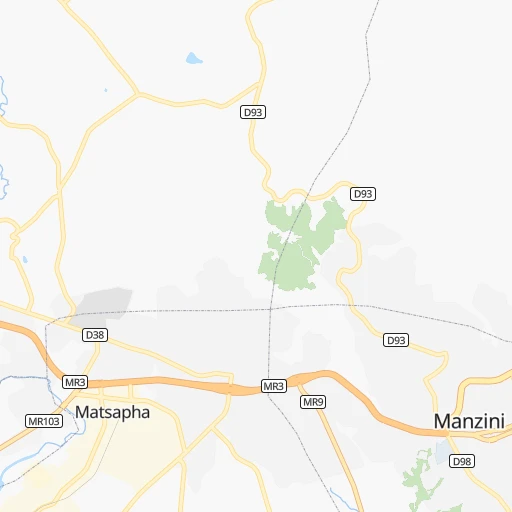
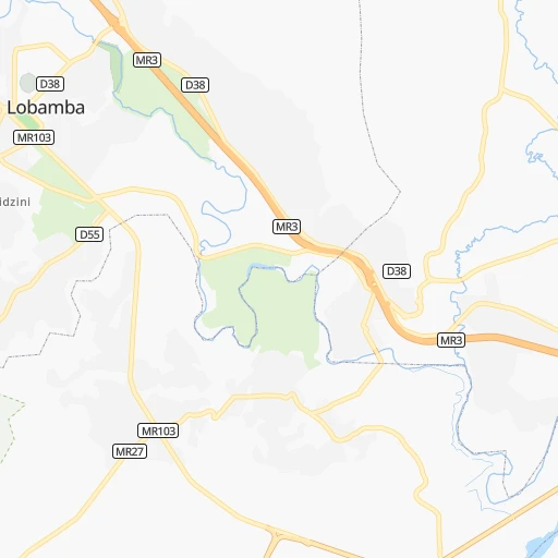
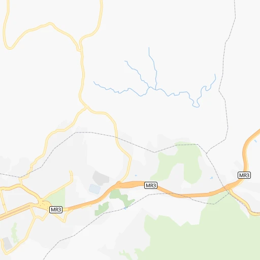
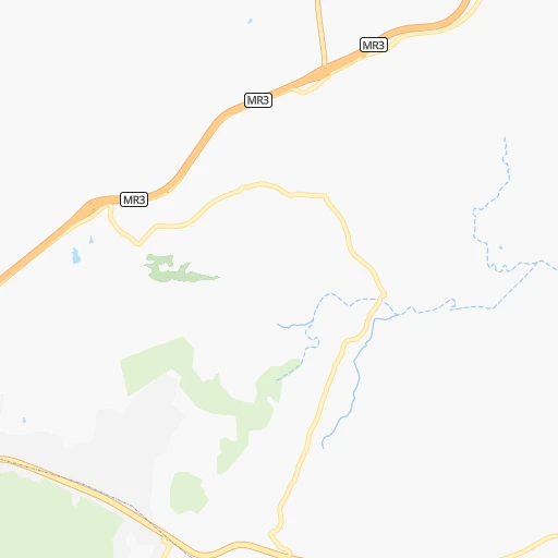
Roadmap (route) to go from Kwaluseni to Piggs Peak detailed above, you can also see the course layout on the map.
While doing trip Kwaluseni - Piggs Peak by car, the calculated route ends at a distance , or more straight.
Distance and duration of the route between Kwaluseni and Piggs Peak
An error occured: undefined - for url https://route.cartes.cc/route?point=-26.48333%2C31.33333&point=-25.96082%2C31.24666&vehicle=car&debug=false&data_type=application%2Fjson&locale=en&points_encoded=true&instructions=true&elevation=false&optimize=false&timeout=10000&skip.host=true&skip.basePath=true&graphhopper_maps_host=https%3A%2F%2Fgraphhopper.com%2Fmaps%2F%3F&turn_sign_map.0=continue&turn_sign_map.1=turn%20slight%20right&turn_sign_map.2=turn%20right&turn_sign_map.3=turn%20sharp%20right&turn_sign_map.4=finish&turn_sign_map.5=reached%20via%20point&turn_sign_map.6=enter%20roundabout&turn_sign_map.-6=leave%20roundabout&turn_sign_map.-3=turn%20sharp%20left&turn_sign_map.-2=turn%20left&turn_sign_map.-1=turn%20slight%20left&key=&position=topleft
Calculation of distance and route from Piggs Peak to Kwaluseni :
58.784.6 km1h24mn
Continue 0h0mn 182 mTurn sharp right 0h0mn 206 mTurn sharp left 0h0mn 115 mTurn right 0h1mn 295 mKeep right 0h0mn 58 mTurn right 0h0mn 116 mTurn left onto D38 0h1mn 318 mTurn left onto Police College Road 0h0mn 286 mTurn right 0h16mn 27.6 kmKeep left 0h2mn 2.0 kmContinue 0h0mn 228 mTurn left onto Mdzimba Avenue 0h0mn 457 mTurn slight left onto Gwamile Street 0h1mn 1.0 kmAt roundabout, take exit 2 onto Gwamile Street 0h0mn 142 mAt roundabout, take exit 2 onto Gwamile Street 0h2mn 1.6 kmTurn right onto Pine Valley Road 0h9mn 9.3 kmTurn left 0h0mn 47 mTurn left 0h1mn 512 mKeep right 0h3mn 1.5 kmTurn left 0h20mn 10.2 kmTurn left onto MR32 0h3mn 3.0 kmTurn right onto King Mswati II Highway 0h23mn 25.3 kmArrive at destination 0h0mn 0 m
Travel from Kwaluseni (Hhohho) to a selection of major cities.
Distances from Kwaluseni to biggest cities in Manzini
Other major cities in country :
Route from Piggs Peak to major cities (Swaziland).
Nearest cities to Kwaluseni :
- Manzini, 110,537 inhabitants. 5 km
- Mbabane, 76,218 inhabitants. 27 km
- Big Bend, 10,342 inhabitants. 70 km
- Malkerns, 9,724 inhabitants. 18 km
- Nhlangano, 9,016 inhabitants. 71 km
- Mhlume, 8,652 inhabitants. 72 km
- Hluti, 6,763 inhabitants. 86 km
- Siteki, 6,152 inhabitants. 61 km
- Piggs Peak, 5,750 inhabitants. 59 km
- Lobamba, 4,557 inhabitants. 13 km
- Vuvulane, 4,155 inhabitants. 71 km
- Kwaluseni, 3,395 inhabitants. 0 km
- Bhunya, 3,046 inhabitants. 32 km
Location Kwaluseni (Manzini) :
| Country flag |  |
| Location | Kwaluseni |
| State | Manzini |
| County | |
| Country | Swaziland |
| Country code / ISO 2 | SZ |
| Latitude | -26.4833300 |
| Longitude | 31.3333300 |
| Altitude | 0 meters |
| Time zone | Africa/Mbabane |
Location Piggs Peak (Hhohho) :
| Country flag | |
| Location | Piggs Peak |
| State | Hhohho |
| County | |
| Country | Swaziland |
| Country code / ISO 2 | SZ |
| Latitude | -25.9608200 |
| Longitude | 31.2466600 |
| Altitude | 0 meters |
| Time zone | Africa/Mbabane |