

How to get from El Tapihue (airport) (Valparaíso) to Machalí (O'Higgins Region)
Calculate route from El Tapihue (airport) (Valparaíso, Chile) to Machalí (O'Higgins Region, Chile).
The flight distance (as the crow flies) between El Tapihue (airport) and Machalí is 114.5 km.
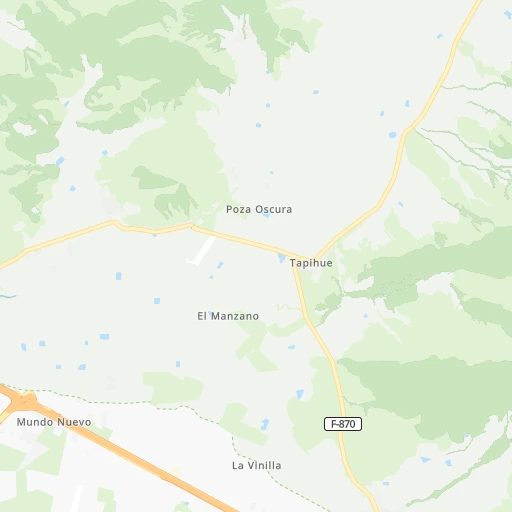
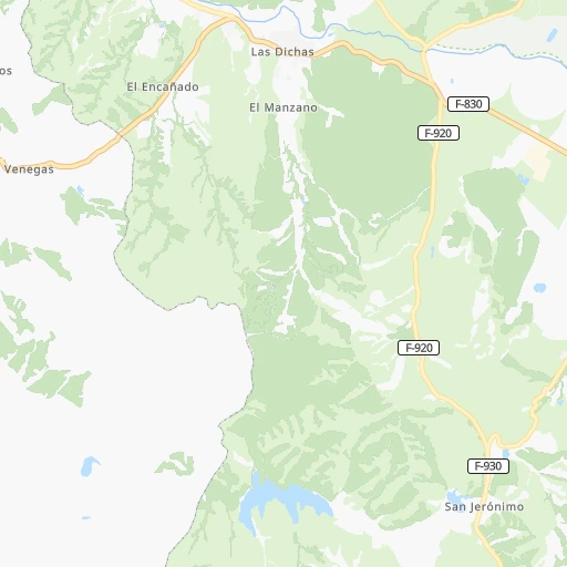
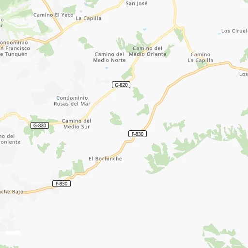
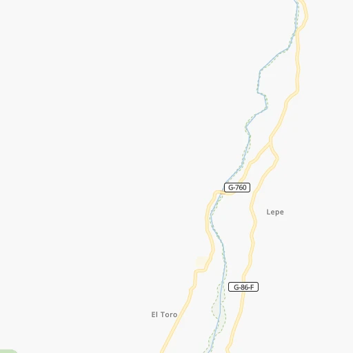
Roadmap (route) to go from El Tapihue Airport to Machalí detailed above, you can also see the course layout on the map.
While doing trip El Tapihue (airport) - Machalí by car, the calculated route ends at a distance , or more straight.
Distance and duration of the route between El Tapihue (airport) and Machalí
Calculation of distance and route from Machalí to El Tapihue (airport) :
114.5155.6 km2h46mn
Continue onto Ruta F-864-G 0h1mn 1.4 kmTurn right onto Ruta F-870 0h6mn 5.7 kmKeep right and take 68 toward Santiago 0h0mn 413 mKeep left onto Ruta 68 0h24mn 41.4 kmKeep left onto Ruta 68 0h7mn 11.7 kmKeep right 0h0mn 422 mKeep left and take 70 toward La Florida, Maipú 0h7mn 10.3 kmKeep right 0h1mn 640 mKeep right onto Avenida General Velásquez 0h1mn 927 mKeep left toward 74, 5 0h27mn 43.1 kmContinue onto Ruta 5 Sur 0h9mn 14.9 kmKeep right and drive toward Rancagua 0h1mn 840 mKeep left and drive toward Rancagua 0h8mn 12.9 kmKeep right 0h0mn 379 mTurn left onto Avenida República de Chile 0h5mn 4.2 kmTurn left onto Avenida San Juan 0h5mn 5.0 kmTurn sharp left onto Arturo Prat 0h0mn 418 mTurn sharp right onto Tarapacá 0h1mn 479 mTurn right onto Pisagua 0h1mn 295 mTurn sharp right onto Miranda 0h0mn 187 mArrive at destination 0h0mn 0 m
Travel from El Tapihue (airport) (O'Higgins Region) to a selection of major cities.
Distances from El Tapihue Airport to biggest cities in Valparaíso
Other major cities in country :
- Los Angeles [06], 125,430 inhabitants. 471 km
- Punta Arenas [10], 117,430 inhabitants. 2,208 km
- Lo Prado [12], 104,316 inhabitants. 58 km
- Curico [11], 102,438 inhabitants. 185 km
- Coronel [06], 92,940 inhabitants. 445 km
- Chiguayante [06], 82,545 inhabitants. 430 km
- Ovalle [07], 77,138 inhabitants. 303 km
- Linares [11], 69,535 inhabitants. 282 km
- Penaflor [12], 65,495 inhabitants. 53 km
- Melipilla [12], 63,100 inhabitants. 42 km
- Buin [12], 55,441 inhabitants. 71 km
- Talagante [12], 51,764 inhabitants. 54 km
Route from Machalí to major cities (Chile).
- Distance Machalí Santiago81 km
- Distance Machalí Puente Alto64 km
- Distance Machalí Antofagasta1,172 km
- Distance Machalí Vina del Mar154 km
- Distance Machalí Valparaiso157 km
- Distance Machalí Talcahuano361 km
- Distance Machalí San Bernardo66 km
- Distance Machalí Temuco537 km
- Distance Machalí Iquique1,556 km
- Distance Machalí Concepcion366 km
- Distance Machalí La Pintana67 km
- Distance Machalí Talca166 km
- Distance Machalí Arica1,749 km
- Distance Machalí Coquimbo475 km
- Distance Machalí Puerto Montt836 km
- Distance Machalí La Serena479 km
- Distance Machalí Chillan301 km
- Distance Machalí Calama1,316 km
- Distance Machalí Osorno745 km
- Distance Machalí Valdivia668 km
Nearest cities to El Tapihue (airport) :
- Santiago, 4,837,295 inhabitants. 65 km
- Puente Alto, 510,417 inhabitants. 77 km
- Vina del Mar, 294,551 inhabitants. 39 km
- Valparaiso, 282,448 inhabitants. 42 km
- San Bernardo, 249,858 inhabitants. 66 km
- Rancagua, 212,695 inhabitants. 109 km
- La Pintana, 201,178 inhabitants. 71 km
- Talca, 197,479 inhabitants. 236 km
- Quilpue, 130,263 inhabitants. 32 km
- Lo Prado, 104,316 inhabitants. 58 km
- Curico, 102,438 inhabitants. 185 km
- Villa Alemana, 97,320 inhabitants. 31 km
- San Antonio, 85,651 inhabitants. 40 km
- Ovalle, 77,138 inhabitants. 303 km
- Linares, 69,535 inhabitants. 282 km
- Quillota, 67,779 inhabitants. 49 km
- Penaflor, 65,495 inhabitants. 53 km
- Melipilla, 63,100 inhabitants. 42 km
- San Felipe, 59,294 inhabitants. 85 km
- Los Andes, 56,859 inhabitants. 87 km
- Buin, 55,441 inhabitants. 71 km
- Talagante, 51,764 inhabitants. 54 km
- Hacienda La Calera, 49,106 inhabitants. 61 km
- Rengo, 38,100 inhabitants. 129 km
- Constitucion, 37,917 inhabitants. 245 km
- Limache, 35,876 inhabitants. 34 km
- Santa Cruz, 33,283 inhabitants. 147 km
- Paine, 32,766 inhabitants. 77 km
- Cauquenes, 31,362 inhabitants. 308 km
- San Vicente de Tagua Tagua, 29,560 inhabitants. 127 km
- Lampa, 29,250 inhabitants. 43 km
- Molina, 28,775 inhabitants. 200 km
- Machali, 27,595 inhabitants. 115 km
- Parral, 26,904 inhabitants. 317 km
- La Ligua, 24,857 inhabitants. 97 km
- Graneros, 23,301 inhabitants. 100 km
- El Monte, 23,090 inhabitants. 51 km
- Illapel, 22,816 inhabitants. 188 km
- San Vicente, 22,572 inhabitants. 126 km
- San Javier, 22,427 inhabitants. 256 km
- Chicureo Abajo, 18,000 inhabitants. 63 km
- Chimbarongo, 17,356 inhabitants. 157 km
- Cartagena, 16,875 inhabitants. 36 km
- Llaillay, 16,646 inhabitants. 64 km
- Villa Presidente Frei, Nunoa, Santiago, Chile, 15,000 inhabitants. 72 km
- Monte Patria, 13,945 inhabitants. 294 km
- San Clemente, 13,656 inhabitants. 247 km
- Salamanca, 13,265 inhabitants. 175 km
- Rauco, 8,566 inhabitants. 179 km
- Teno, 6,858 inhabitants. 173 km
Location El Tapihue (airport) (Valparaíso) :
| Country flag |  |
| Location | El Tapihue (airport) |
| State | Valparaíso |
| County | Provincia de Valparaíso |
| Country | Chile |
| Country code / ISO 2 | CL |
| Latitude | -33.3205500 |
| Longitude | -71.3320800 |
| Altitude | 0 meters |
| Time zone | America/Santiago |
Location Machalí (O'Higgins Region) :
| Country flag | |
| Location | Machalí |
| State | O'Higgins Region |
| County | Provincia de Cachapoal |
| Country | Chile |
| Country code / ISO 2 | CL |
| Latitude | -34.1808200 |
| Longitude | -70.6493300 |
| Altitude | 0 meters |
| Time zone | America/Santiago |


