
How to get from Patchewollock (Victoria) to Mackay (Queensland)
Calculate route from Patchewollock (Victoria, Australia) to Mackay (Queensland, Australia).
The flight distance (as the crow flies) between Patchewollock and Mackay is 1,721.1 km.
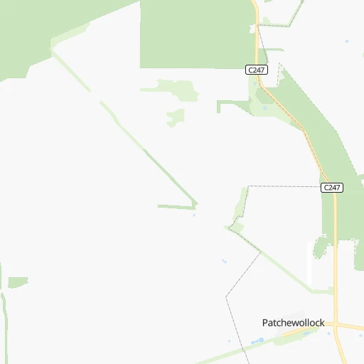
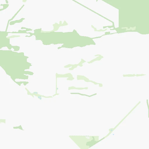
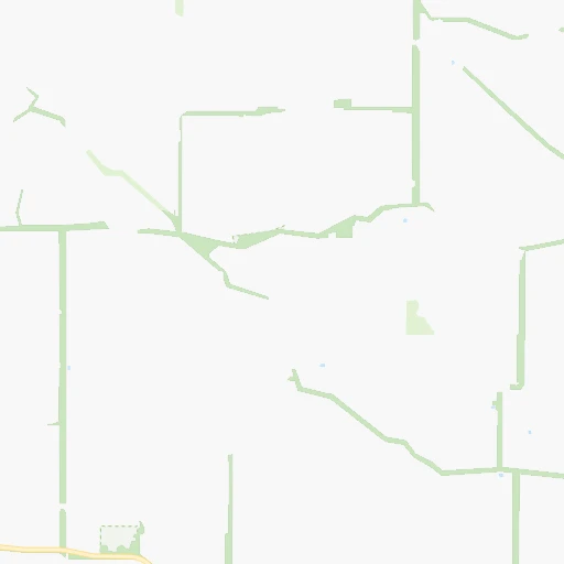
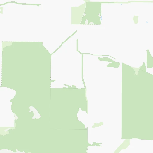
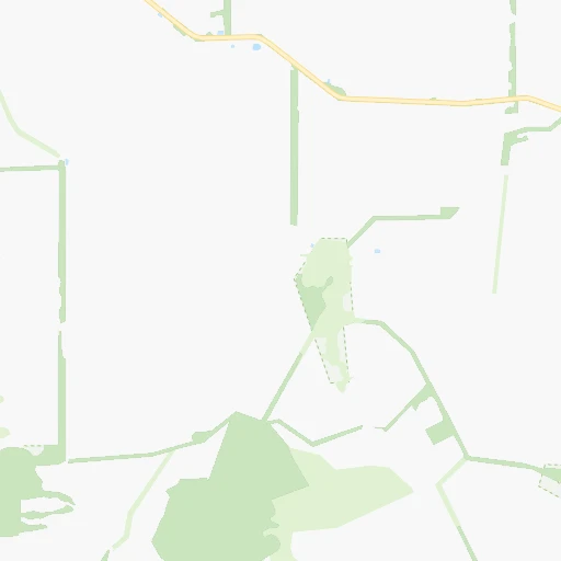
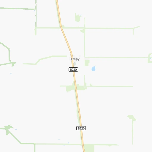
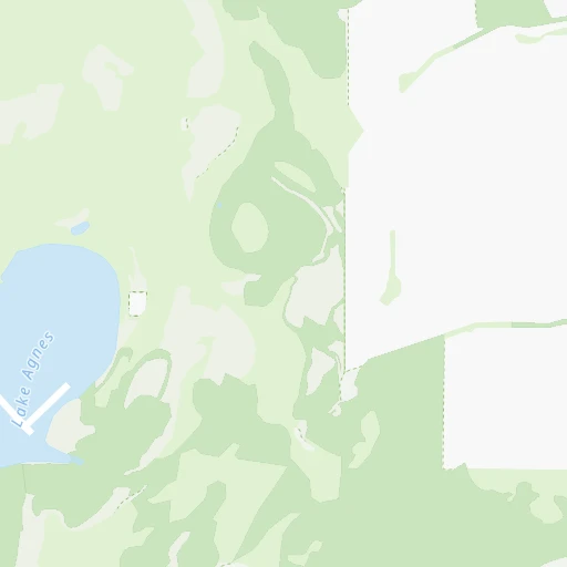
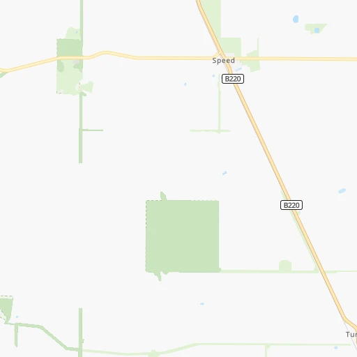
Roadmap (route) to go from Patchewollock to Mackay detailed above, you can also see the course layout on the map.
While doing trip Patchewollock - Mackay by car, the calculated route ends at a distance , or more straight.
Distance and duration of the route between Patchewollock and Mackay
Calculation of distance and route from Mackay to Patchewollock :
1,721.12,104.7 km26h29mn
Continue onto Cummings Road 0h1mn 476 mTurn left onto Cummings Road 0h0mn 130 mTurn right onto Patchewollock-Sea Lake Road 0h0mn 551 mTurn left onto Hopetoun - Walpeup Road 0h2mn 2.9 kmTurn right onto Patchewollock Tempy Road 0h10mn 5.0 kmKeep left onto Torney Road 0h12mn 18.5 kmTurn right onto Sunraysia Highway 0h0mn 17 mTurn left onto Pirro Road 0h5mn 7.7 kmKeep left onto Vallance Road 0h3mn 4.9 kmTurn right onto Vallance Road 0h3mn 4.9 kmTurn left onto Kerr Road 0h6mn 8.8 kmTurn right onto Calder Highway and drive toward Bendigo, Melbourne 0h5mn 7.5 kmTurn left onto McErvale Street 0h0mn 45 mTurn right onto School Road 0h2mn 2.1 kmTurn sharp left onto Preston Road 0h3mn 4.4 kmTurn right onto Cocamba Road 0h10mn 14.4 kmTurn left onto Daytrap Road 0h2mn 2.8 kmContinue onto Daytrap Road 0h0mn 621 mContinue onto Daytrap Road 0h3mn 3.8 kmTurn right onto Mallee Highway 0h26mn 38.7 kmTurn left onto Sandy Lane 0h3mn 5.0 kmTurn sharp left onto Murray Valley Highway 0h1mn 681 mTurn right onto Tooleybuc Road and drive toward Tooleybuc, Sydney 1h35mn 50.4 kmTurn left 0h1mn 965 mTurn slight left onto Sturt Highway 0h4mn 4.1 kmTurn right onto Ivanhoe Road 3h31mn 226.3 kmTurn right onto Columbus Street 0h0mn 124 mTurn left onto Behring Street 1h28mn 130.5 kmTurn right onto The Wool Track 1h1mn 91.9 kmTurn right onto Barrier Highway 0h6mn 9.1 kmTurn left onto Monaghan Street 0h0mn 121 mTurn right onto Becker Street 0h1mn 428 mTurn left onto Murray Street 0h0mn 126 mTurn right onto Bradley Street 0h0mn 300 mTurn left onto Frederick Street 0h0mn 227 mContinue onto Bourke Road 2h38mn 159.4 kmTurn right onto Oxley Street 0h0mn 231 mTurn left onto Glen Street 0h0mn 136 mTurn right onto Mitchell Street 0h1mn 464 mTurn left onto Warraweena Street 0h5mn 5.5 kmTurn right onto Mitchell Highway 3h34mn 249.1 kmTurn right onto Mary Street 1h31mn 51.7 kmTurn left onto Coongoola Lane 2h38mn 53.7 kmTurn right onto Mount Alfred Road 0h6mn 8.0 kmTurn left onto Mitchell Highway 2h55mn 177.3 kmTurn left onto Landsborough Highway 1h17mn 122.1 kmTurn right onto Dawson Developmental Road 0h0mn 226 mTurn right 0h2mn 1.0 kmTurn slight right onto Dawson Developmental Road 2h49mn 163.1 kmTurn left onto Capricorn Highway 0h1mn 1.0 kmContinue onto Capricorn Highway 0h0mn 27 mContinue onto Clermont Alpha Road 4h57mn 178.4 kmTurn left onto Clermont Connection Road 0h2mn 2.1 kmAt roundabout, take exit 2 onto Gregory Highway 0h12mn 14.0 kmKeep right onto 70 0h0mn 150 mTurn slight right onto Peak Downs Highway 3h14mn 266.4 kmKeep left 0h2mn 2.0 kmTurn left onto Bridge Road 0h0mn 98 mArrive at destination 0h0mn 0 m
Travel from Patchewollock (Queensland) to a selection of major cities.
Distances from Patchewollock to biggest cities in Victoria
- Wodonga,31,605 inhabitants.432 km
- Mill Park,30,517 inhabitants.362 km
- Mildura,30,016 inhabitants.133 km
- Sunbury,29,925 inhabitants.333 km
- Preston,29,925 inhabitants.365 km
- Narre Warren South,28,594 inhabitants.405 km
- Noble Park,28,377 inhabitants.391 km
- Doncaster East,27,047 inhabitants.376 km
- Croydon,26,946 inhabitants.386 km
- Richmond,26,121 inhabitants.370 km
- Narre Warren,25,882 inhabitants.405 km
- Bundoora,25,709 inhabitants.364 km
- Endeavour Hills,25,000 inhabitants.398 km
- Coburg,24,977 inhabitants.362 km
- Dandenong,24,919 inhabitants.395 km
- Ferntree Gully,24,724 inhabitants.393 km
- Kew,23,876 inhabitants.370 km
- Hampton Park,23,767 inhabitants.402 km
- Glen Iris,23,270 inhabitants.376 km
- Northcote,22,920 inhabitants.365 km
Other major cities in country :
- Maitland [02], 67,132 inhabitants. 913 km
- Armadale [08], 62,296 inhabitants. 2,442 km
- Rockhampton [04], 61,724 inhabitants. 1,559 km
- Adelaide Hills [05], 60,394 inhabitants. 321 km
- South Brisbane [04], 60,000 inhabitants. 1,352 km
Route from Mackay to major cities (Australia).
- Distance Mackay Sydney1,430 km
- Distance Mackay Melbourne1,898 km
- Distance Mackay Perth3,510 km
- Distance Mackay Adelaide1,849 km
- Distance Mackay Canberra1,573 km
- Distance Mackay Newcastle1,336 km
- Distance Mackay Wollongong1,487 km
- Distance Mackay Geelong1,947 km
- Distance Mackay Hobart2,425 km
- Distance Mackay Darwin2,176 km
- Distance Mackay Rockingham3,530 km
- Distance Mackay Launceston2,266 km
- Distance Mackay Bendigo1,800 km
- Distance Mackay Ballarat1,898 km
- Distance Mackay Mandurah3,537 km
- Distance Mackay Bunbury3,564 km
- Distance Mackay Maitland1,311 km
- Distance Mackay Armadale3,501 km
- Distance Mackay Adelaide Hills1,842 km
Nearest cities to Patchewollock :
- Melbourne, 4,246,375 inhabitants. 367 km
- Geelong, 226,034 inhabitants. 363 km
- Bendigo, 100,617 inhabitants. 242 km
- Ballarat, 97,937 inhabitants. 285 km
- Reservoir, 47,637 inhabitants. 361 km
- Hoppers Crossing, 38,108 inhabitants. 357 km
- Werribee, 37,737 inhabitants. 357 km
- Melton, 35,490 inhabitants. 334 km
- Saint Albans, 35,091 inhabitants. 350 km
- Frankston East, 34,457 inhabitants. 403 km
- Frankston, 34,457 inhabitants. 404 km
- Warrnambool, 33,982 inhabitants. 335 km
- Mount Waverley, 33,611 inhabitants. 382 km
- St Albans, 33,511 inhabitants. 351 km
- Point Cook, 32,413 inhabitants. 363 km
- Epping, 32,200 inhabitants. 358 km
- Mill Park, 30,517 inhabitants. 362 km
- Mildura, 30,016 inhabitants. 133 km
- Sunbury, 29,925 inhabitants. 333 km
- Preston, 29,925 inhabitants. 365 km
- Noble Park, 28,377 inhabitants. 391 km
- Doncaster East, 27,047 inhabitants. 376 km
- Richmond, 26,121 inhabitants. 370 km
- Bundoora, 25,709 inhabitants. 364 km
- Coburg, 24,977 inhabitants. 362 km
- Kew, 23,876 inhabitants. 370 km
- Glen Iris, 23,270 inhabitants. 376 km
- Mount Gambier, 23,209 inhabitants. 300 km
- Northcote, 22,920 inhabitants. 365 km
- Keysborough, 22,700 inhabitants. 394 km
- Mornington, 22,421 inhabitants. 405 km
- Tarneit, 21,690 inhabitants. 354 km
- Langwarrin, 21,371 inhabitants. 408 km
- Brighton, 21,257 inhabitants. 377 km
- Hawthorn South, 21,177 inhabitants. 373 km
- Hawthorn, 21,177 inhabitants. 372 km
- Glenferrie, 21,177 inhabitants. 374 km
- Thomastown, 20,331 inhabitants. 360 km
- Cheltenham, 20,292 inhabitants. 385 km
- Greensborough, 20,214 inhabitants. 367 km
- Balwyn North, 19,968 inhabitants. 373 km
- Lalor, 19,873 inhabitants. 358 km
- Brunswick, 19,867 inhabitants. 363 km
- Springvale, 19,771 inhabitants. 389 km
- Wheelers Hill, 19,753 inhabitants. 387 km
- Craigieburn, 19,728 inhabitants. 349 km
- Glenroy, 19,644 inhabitants. 356 km
- Camberwell, 19,637 inhabitants. 376 km
- Malvern East, 19,593 inhabitants. 376 km
- Murray Bridge, 19,577 inhabitants. 267 km
Location Patchewollock (Victoria) :
| Country flag |  |
| Location | Patchewollock |
| State | Victoria |
| County | Yarriambiack |
| Country | Australia |
| Country code / ISO 2 | AU |
| Latitude | -35.3843100 |
| Longitude | 142.1893100 |
| Altitude | 0 meters |
| Time zone | Australia/Melbourne |
Location Mackay (Queensland) :
| Country flag | |
| Location | Mackay |
| State | Queensland |
| County | Mackay |
| Country | Australia |
| Country code / ISO 2 | AU |
| Latitude | -21.1534500 |
| Longitude | 149.1655400 |
| Altitude | 0 meters |
| Time zone | Australia/Brisbane |


