


How to get from Mzamba Wild Coast (Eastern Cape) to Ladybrand (Orange Free State)
Calculate route from Mzamba Wild Coast (Eastern Cape, South Africa) to Ladybrand (Orange Free State, South Africa).
The flight distance (as the crow flies) between Mzamba Wild Coast and Ladybrand is 335.6 km.
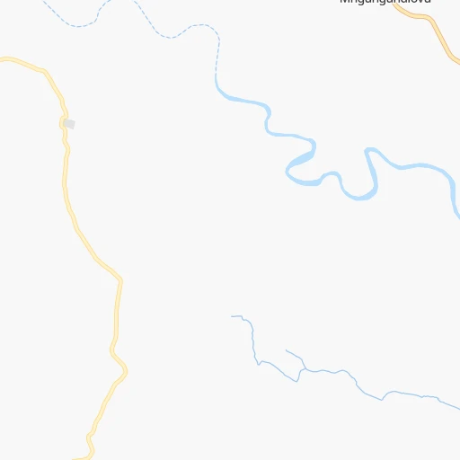
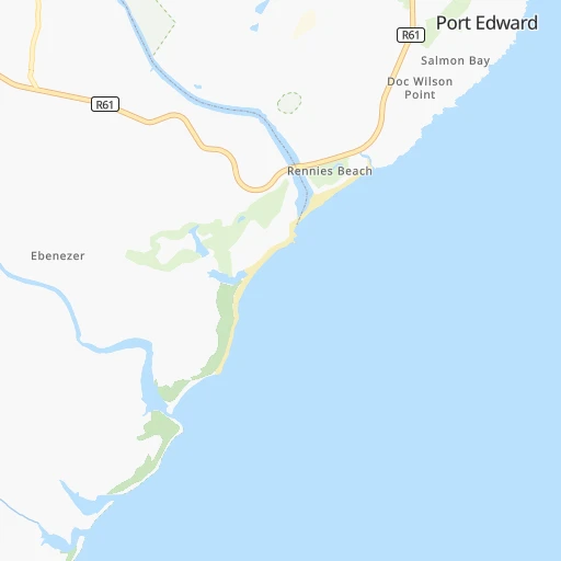
Roadmap (route) to go from Mzamba Wild Coast to Ladybrand detailed above, you can also see the course layout on the map.
While doing trip Mzamba Wild Coast - Ladybrand by car, the calculated route ends at a distance , or more straight.
Distance and duration of the route between Mzamba Wild Coast and Ladybrand
Calculation of distance and route from Ladybrand to Mzamba Wild Coast :
335.6477.4 km8h54mn
Continue 0h2mn 587 mTurn left 0h3mn 852 mTurn sharp left 0h10mn 4.9 kmTurn right 0h0mn 148 mTurn left onto R61 1h7mn 73.9 kmTurn right onto R394 1h34mn 33.5 kmTurn right onto N2 0h11mn 12.4 kmKeep left 0h0mn 443 mTurn left onto R56 0h0mn 372 mAt roundabout, take exit 2 onto R56 0h4mn 4.1 kmTurn left onto The Avenue 1h2mn 67.8 kmTurn right onto Market Street 0h0mn 432 mTurn left onto Station Road 1h51mn 31.1 kmTurn left 0h5mn 3.2 kmAt roundabout, take exit 1 onto A41 1h55mn 60.2 kmTurn right onto A5 2h43mn 113.1 kmTurn right onto A5 1h34mn 36.9 kmKeep right onto A3 0h0mn 15 mTurn right onto Principal Highway 0h7mn 6.4 kmAt roundabout, take exit 2 onto Matala Circle 0h6mn 5.1 kmAt roundabout, take exit 1 onto Main South 0h1mn 930 mTurn right onto Main South Road 0h2mn 1.2 kmAt roundabout, take exit 2 onto Kingsway 0h2mn 1.7 kmTurn right onto Mpilo Boulevard 0h3mn 2.8 kmTurn slight left onto Mpilo Boulevard 0h10mn 11.7 kmTurn right onto R26 0h1mn 1.6 kmKeep left 0h0mn 443 mContinue onto Piet Retief Street 0h2mn 1.5 kmTurn right onto Joubert Street 0h0mn 131 mArrive at destination 0h0mn 0 m
Travel from Mzamba Wild Coast (Orange Free State) to a selection of major cities.
Distances from Mzamba Wild Coast to biggest cities in Eastern Cape
Other major cities in country :
- Vanderbijlpark [06], 246,754 inhabitants. 539 km
- Centurion [06], 233,386 inhabitants. 615 km
- Roodepoort [06], 225,000 inhabitants. 594 km
- Paarl [11], 190,000 inhabitants. 1,091 km
- Springs [06], 186,394 inhabitants. 567 km
- Carletonville [06], 182,304 inhabitants. 593 km
- Klerksdorp [10], 178,921 inhabitants. 583 km
- Midrand [06], 173,009 inhabitants. 603 km
- Westonaria [06], 156,831 inhabitants. 586 km
- Middelburg [07], 154,706 inhabitants. 597 km
- Vryheid [02], 150,012 inhabitants. 376 km
- Orkney [10], 145,801 inhabitants. 571 km
- Kimberley [08], 142,089 inhabitants. 584 km
- eMbalenhle [07], 141,741 inhabitants. 520 km
- Nigel [06], 140,644 inhabitants. 545 km
- Mpumalanga [02], 140,121 inhabitants. 150 km
- Randfontein [06], 133,654 inhabitants. 598 km
- Worcester [11], 127,597 inhabitants. 1,046 km
- Rustenburg [10], 124,064 inhabitants. 669 km
- Polokwane [09], 123,749 inhabitants. 804 km
Route from Ladybrand to major cities (South Africa).
- Distance Ladybrand Cape Town1,005 km
- Distance Ladybrand Durban354 km
- Distance Ladybrand Johannesburg338 km
- Distance Ladybrand Soweto328 km
- Distance Ladybrand Pretoria391 km
- Distance Ladybrand Port Elizabeth559 km
- Distance Ladybrand Pietermaritzburg289 km
- Distance Ladybrand Benoni345 km
- Distance Ladybrand Tembisa364 km
- Distance Ladybrand East London428 km
- Distance Ladybrand Vereeniging284 km
- Distance Ladybrand Boksburg341 km
- Distance Ladybrand Newcastle290 km
- Distance Ladybrand Krugersdorp347 km
- Distance Ladybrand Diepsloot367 km
- Distance Ladybrand Randburg349 km
- Distance Ladybrand Brakpan341 km
- Distance Ladybrand Witbank409 km
- Distance Ladybrand Richards Bay448 km
- Distance Ladybrand Vanderbijlpark279 km
Nearest cities to Mzamba Wild Coast :
- Durban, 3,120,282 inhabitants. 161 km
- Pietermaritzburg, 750,845 inhabitants. 167 km
- East London, 478,676 inhabitants. 301 km
- Richards Bay, 252,968 inhabitants. 315 km
- Mpumalanga, 140,121 inhabitants. 150 km
- Bhisho, 137,287 inhabitants. 323 km
- Dundee, 84,413 inhabitants. 327 km
- Phuthaditjhaba, 84,258 inhabitants. 315 km
- Bethlehem, 83,654 inhabitants. 367 km
- Mthatha, 78,663 inhabitants. 142 km
- KwaDukuza, 59,899 inhabitants. 225 km
- Port Shepstone, 52,793 inhabitants. 48 km
- eSikhaleni, 49,265 inhabitants. 299 km
- Senekal, 39,584 inhabitants. 395 km
- Stutterheim, 35,510 inhabitants. 307 km
- Harrismith, 35,108 inhabitants. 330 km
- Margate, 34,407 inhabitants. 33 km
- Butterworth, 34,353 inhabitants. 235 km
- Richmond, 32,445 inhabitants. 137 km
- Howick, 28,725 inhabitants. 181 km
- Empangeni, 28,093 inhabitants. 309 km
- Mpophomeni, 26,229 inhabitants. 171 km
- Kokstad, 25,373 inhabitants. 94 km
- Lady Frere, 25,041 inhabitants. 287 km
- Scottburgh, 23,949 inhabitants. 107 km
- Ulundi, 20,753 inhabitants. 331 km
- eMkhomazi, 20,410 inhabitants. 116 km
- Ladybrand, 17,228 inhabitants. 336 km
- Ballito, 17,218 inhabitants. 201 km
- Berea, 15,000 inhabitants. 160 km
- Eshowe, 14,786 inhabitants. 277 km
- Ekuvukeni, 14,331 inhabitants. 293 km
- Greytown, 13,912 inhabitants. 230 km
- Glencoe, 13,547 inhabitants. 325 km
- Sundumbili, 12,455 inhabitants. 249 km
- Clocolan, 12,318 inhabitants. 349 km
- Elliot, 11,836 inhabitants. 222 km
- Marquard, 10,839 inhabitants. 378 km
- Mooirivier, 10,132 inhabitants. 211 km
- Port Saint John's, 5,939 inhabitants. 83 km
Location Mzamba Wild Coast (Eastern Cape) :
| Country flag |  |
| Location | Mzamba Wild Coast |
| State | Eastern Cape |
| County | Alfred Nzo District Municipality |
| Country | South Africa |
| Country code / ISO 2 | ZA |
| Latitude | -31.1000000 |
| Longitude | 30.1667000 |
| Altitude | 0 meters |
| Time zone | Africa/Johannesburg |
Location Ladybrand (Orange Free State) :
| Country flag | |
| Location | Ladybrand |
| State | Orange Free State |
| County | Thabo Mofutsanyana District Municipality |
| Country | South Africa |
| Country code / ISO 2 | ZA |
| Latitude | -29.1944800 |
| Longitude | 27.4573900 |
| Altitude | 0 meters |
| Time zone | Africa/Johannesburg |

