
Home
››
Santenay les Bains Railway Station
››
Roadmap from Santenay les Bains Railway Station to Angers
How to get from Santenay les Bains Railway Station (Bourgogne-Franche-Comté) to Angers (Pays de la Loire)
Calculate route from Santenay les Bains Railway Station (Bourgogne-Franche-Comté, France) to Angers (Pays de la Loire, France).
The flight distance (as the crow flies) between Santenay les Bains Railway Station and Angers is 401.2 km.
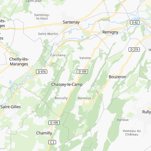
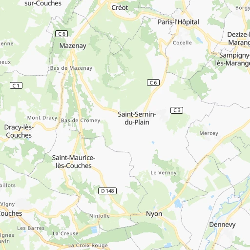
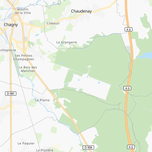
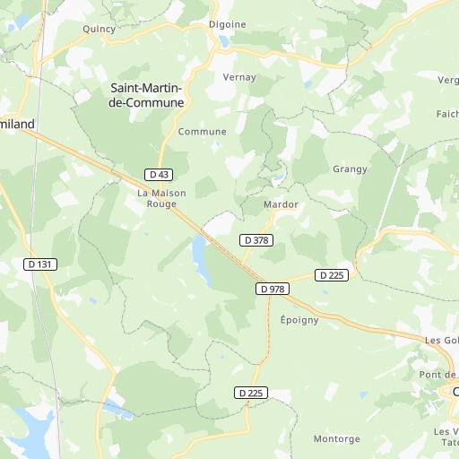
Roadmap (route) to go from Santenay les Bains Railway Station to Angers detailed above, you can also see the course layout on the map.
While doing trip Santenay les Bains Railway Station - Angers by car, the calculated route ends at a distance , or more straight.
Distance and duration of the route between Santenay les Bains Railway Station and Angers
Calculation of distance and route from Angers to Santenay les Bains Railway Station :
401.2465.0 km6h44mn
Continue onto Impasse de la Gare 0h0mn 36 mTurn left onto Impasse de la Gare 0h0mn 7 mTurn left onto Rue de la Gare 0h0mn 113 mTurn slight left onto D 113 0h0mn 35 mContinue onto Place du Jet d'Eau 0h0mn 36 mContinue onto Rue Chauchien 0h0mn 188 mKeep right onto Rue de Lavau 0h6mn 4.7 kmKeep left onto Rue des Bayards 0h3mn 2.7 kmTurn left 0h1mn 149 mTurn left onto Route de Nolay 0h0mn 92 mTurn right onto D 136 0h7mn 6.2 kmTurn left onto Route d'Autun 0h19mn 20.8 kmAt roundabout, take exit 1 onto Route de Beaune 0h1mn 729 mTurn right onto Rue du Théatre Romain 0h0mn 295 mAt roundabout, take exit 2 onto Rue des Fusiliers Marins 0h0mn 146 mTurn left onto Rue de Gaillon 0h0mn 84 mTurn left onto Rue de la Croix Blanche 0h1mn 433 mTurn right onto Rue des Quatre Vents 0h0mn 146 mTurn left onto Avenue de la République 0h1mn 1.1 kmAt roundabout, take exit 1 onto Carrefour de la Légion 0h2mn 1.9 kmAt roundabout, take exit 3 onto Rond-Point de Bellevue 0h22mn 23.7 kmAt roundabout, take exit 2 onto Route du Haut Morvan 0h7mn 8.9 kmAt roundabout, take exit 1 onto Rue Jean-Marie Thévenin 0h1mn 933 mTurn left 0h0mn 113 mTurn sharp left onto Route de Nevers 1h40mn 44.7 kmAt roundabout, take exit 2 onto Rue François Mitterrand 0h14mn 15.3 kmAt roundabout, take exit 2 onto Route de l'Autoroute 0h1mn 864 mAt roundabout, take exit 3 onto D 981 0h0mn 248 mAt roundabout, take exit 1 0h2mn 3.3 kmKeep right and drive toward Bourges, La Guerche-sur-L'Aubois, Challuy, Sermoise-sur-Loire 0h0mn 341 mAt roundabout, take exit 1 onto D 907a 0h1mn 1.1 kmAt roundabout, take exit 2 0h1mn 587 mAt roundabout, take exit 3 onto D 976 0h7mn 6.7 kmAt roundabout, take exit 3 onto D 976 0h19mn 21.6 kmContinue onto Route de Bourges 0h12mn 14.4 kmAt roundabout, take exit 2 onto D 976 0h14mn 16.3 kmAt roundabout, take exit 2 onto Route de Nevers 0h0mn 170 mAt roundabout, take exit 1 onto Avenue François Mitterrand 0h1mn 519 mAt roundabout, take exit 3 onto Avenue François Mitterrand 0h2mn 1.3 kmTurn left onto Avenue Ernest Renan 0h0mn 70 mTurn right onto Avenue Ernest Renan 0h1mn 927 mAt roundabout, take exit 3 onto Rue de Sarrebourg 0h1mn 604 mAt roundabout, take exit 2 onto Espace de l'Europe 0h0mn 89 mAt roundabout, take exit 2 onto Rampe Marceau 0h1mn 777 mKeep left 0h0mn 23 mTurn left onto Pont d'Auron 0h0mn 94 mContinue onto Rue Jean-Jacques Rousseau 0h1mn 516 mContinue onto Avenue Marcel Haëgelen 0h1mn 958 mAt roundabout, take exit 1 onto Avenue Marcel Haëgelen 0h0mn 158 mAt roundabout, take exit 2 onto Avenue Marcel Haëgelen 0h1mn 393 mAt roundabout, take exit 2 onto Avenue d'Issoudun 0h1mn 673 mAt roundabout, take exit 2 onto D 2151 0h1mn 1.2 kmAt roundabout, take exit 2 onto D 2151 0h1mn 1.2 kmKeep right 0h0mn 405 mAt roundabout, take exit 1 onto Porte de Châteauroux 0h0mn 433 mAt roundabout, take exit 2 0h0mn 350 mKeep right 0h16mn 31.5 kmKeep left onto L'Arverne and drive toward A85, Nantes, Tours, Paris, Orléans 0h3mn 5.8 kmKeep right and take A 85 toward Nantes, Tours, Blois 1h27mn 168.7 kmKeep right and take 3 toward Saumur, Vernantes 0h1mn 711 mAt roundabout, take exit 2 onto Route de Vernantes 0h0mn 535 mAt roundabout, take exit 1 onto Route de Saumur 0h7mn 8.7 kmAt roundabout, take exit 2 onto D 347 0h1mn 1.5 kmAt roundabout, take exit 1 onto D 347 0h1mn 1.0 kmAt roundabout, take exit 2 onto D 347 0h6mn 6.3 kmAt roundabout, take exit 2 onto Route de Saumur 0h2mn 2.0 kmAt roundabout, take exit 3 onto Rond-Point de la Filerie 0h1mn 1.5 kmAt roundabout, take exit 3 onto Rond-Point de la Loire 0h1mn 1.6 kmAt roundabout, take exit 2 onto Rond-Point des Marillères 0h2mn 2.2 kmAt roundabout, take exit 3 onto D 347 0h1mn 755 mAt roundabout, take exit 2 onto D 347 0h5mn 5.7 kmAt roundabout, take exit 2 onto D 347 0h1mn 1.1 kmAt roundabout, take exit 2 onto D 347 0h2mn 2.3 kmAt roundabout, take exit 3 onto D 347 0h2mn 1.9 kmAt roundabout, take exit 2 onto Carrefour des 3 Sœurs 0h2mn 2.1 kmAt roundabout, take exit 2 onto D 347 0h4mn 5.3 kmKeep left and drive toward Niort, Angers 0h1mn 1.0 kmKeep right and take 18a toward Angers Centre 0h1mn 969 mAt roundabout, take exit 2 onto Avenue Montaigne 0h0mn 214 mAt roundabout, take exit 2 onto Avenue Montaigne 0h1mn 1.2 kmKeep right onto Rue Pierre Lise 0h0mn 367 mKeep left onto Boulevard Carnot 0h0mn 13 mKeep right onto Boulevard Carnot 0h0mn 66 mTurn right onto Rue Jules Guitton 0h0mn 165 mArrive at destination 0h0mn 0 m
Travel from Santenay les Bains Railway Station (Pays de la Loire) to a selection of major cities.
Distances from Santenay les Bains Railway Station to biggest cities in Bourgogne-Franche-Comté
Other major cities in country :
- Saint-Quentin-en-Yvelines [11], 146,598 inhabitants. 288 km
- Brest [53], 144,899 inhabitants. 708 km
- Le Mans [52], 144,515 inhabitants. 359 km
- Amiens [32], 143,086 inhabitants. 377 km
- Tours [24], 141,621 inhabitants. 307 km
- Limoges [75], 141,176 inhabitants. 290 km
- Clermont-Ferrand [84], 138,681 inhabitants. 177 km
- Villeurbanne [84], 131,445 inhabitants. 128 km
- Orleans [24], 124,149 inhabitants. 238 km
- Metz [44], 123,914 inhabitants. 269 km
- Rouen [28], 112,787 inhabitants. 388 km
- Mulhouse [44], 111,430 inhabitants. 219 km
- Perpignan [76], 110,706 inhabitants. 490 km
- Caen [28], 110,624 inhabitants. 454 km
- Boulogne-Billancourt [11], 108,782 inhabitants. 282 km
- Nancy [44], 105,334 inhabitants. 226 km
- Argenteuil [11], 101,475 inhabitants. 291 km
- Saint-Denis [11], 96,128 inhabitants. 285 km
- Roubaix [32], 95,721 inhabitants. 436 km
- Tourcoing [32], 91,574 inhabitants. 439 km
Route from Angers to major cities (France).
- Distance Angers Paris264 km
- Distance Angers Marseille656 km
- Distance Angers Lyon455 km
- Distance Angers Toulouse458 km
- Distance Angers Nice739 km
- Distance Angers Strasbourg629 km
- Distance Angers Montpellier551 km
- Distance Angers Bordeaux293 km
- Distance Angers Lille439 km
- Distance Angers Rennes110 km
- Distance Angers Reims392 km
- Distance Angers Le Havre230 km
- Distance Angers Cergy-Pontoise261 km
- Distance Angers Saint-Etienne441 km
- Distance Angers Toulon701 km
- Distance Angers Grenoble546 km
- Distance Angers Dijon420 km
- Distance Angers Nimes557 km
- Distance Angers Aix-en-Provence641 km
- Distance Angers Saint-Quentin-en-Yvelines239 km
Nearest cities to Santenay les Bains Railway Station :
- Paris, 2,138,551 inhabitants. 279 km
- Lyon, 472,317 inhabitants. 130 km
- Reims, 196,565 inhabitants. 265 km
- Cergy-Pontoise, 183,430 inhabitants. 307 km
- Saint-Etienne, 176,280 inhabitants. 166 km
- Grenoble, 158,552 inhabitants. 209 km
- Dijon, 149,782 inhabitants. 51 km
- Saint-Quentin-en-Yvelines, 146,598 inhabitants. 288 km
- Amiens, 143,086 inhabitants. 377 km
- Clermont-Ferrand, 138,681 inhabitants. 177 km
- Villeurbanne, 131,445 inhabitants. 128 km
- Besancon, 128,426 inhabitants. 107 km
- Orleans, 124,149 inhabitants. 238 km
- Metz, 123,914 inhabitants. 269 km
- Mulhouse, 111,430 inhabitants. 219 km
- Boulogne-Billancourt, 108,782 inhabitants. 282 km
- Nancy, 105,334 inhabitants. 226 km
- Argenteuil, 101,475 inhabitants. 291 km
- Saint-Denis, 96,128 inhabitants. 285 km
- Montreuil, 90,652 inhabitants. 275 km
- Avignon, 89,769 inhabitants. 330 km
- Asnieres-sur-Seine, 86,742 inhabitants. 287 km
- Nanterre, 86,719 inhabitants. 289 km
- Versailles, 85,416 inhabitants. 285 km
- Courbevoie, 85,158 inhabitants. 287 km
- Creteil, 84,833 inhabitants. 268 km
- Colombes, 82,300 inhabitants. 289 km
- Vitry-sur-Seine, 81,001 inhabitants. 270 km
- Aulnay-sous-Bois, 80,615 inhabitants. 279 km
- Champigny-sur-Marne, 76,726 inhabitants. 269 km
- Rueil-Malmaison, 76,616 inhabitants. 288 km
- Saint-Maur-des-Fosses, 75,402 inhabitants. 267 km
- Aubervilliers, 70,914 inhabitants. 282 km
- Bourges, 67,987 inhabitants. 176 km
- Colmar, 65,405 inhabitants. 238 km
- Valence, 63,864 inhabitants. 221 km
- Drancy, 62,488 inhabitants. 280 km
- Noisy-le-Grand, 62,420 inhabitants. 268 km
- Levallois-Perret, 62,178 inhabitants. 285 km
- Chambery, 61,640 inhabitants. 177 km
- Issy-les-Moulineaux, 61,447 inhabitants. 279 km
- Neuilly-sur-Seine, 61,300 inhabitants. 285 km
- Troyes, 60,785 inhabitants. 162 km
- Antony, 59,845 inhabitants. 272 km
- Sarcelles, 57,979 inhabitants. 290 km
- Ivry-sur-Seine, 57,897 inhabitants. 274 km
- Venissieux, 57,584 inhabitants. 135 km
- Cergy, 57,576 inhabitants. 307 km
- Clichy, 57,467 inhabitants. 284 km
- Saint-Quentin, 55,407 inhabitants. 343 km
Location Santenay les Bains Railway Station (Bourgogne-Franche-Comté) :
| Country flag |  |
| Location | Santenay les Bains Railway Station |
| State | Bourgogne-Franche-Comté |
| County | Département de la Côte-d'Or |
| Country | France |
| Country code / ISO 2 | FR |
| Latitude | 46.9106600 |
| Longitude | 4.7015400 |
| Altitude | 0 meters |
| Time zone | Europe/Paris |
Location Angers (Pays de la Loire) :
| Country flag | |
| Location | Angers |
| State | Pays de la Loire |
| County | Département de Maine-et-Loire |
| Country | France |
| Country code / ISO 2 | FR |
| Latitude | 47.4738100 |
| Longitude | -0.5477400 |
| Altitude | 0 meters |
| Time zone | Europe/Paris |


