
How to get from Picquigny Railway Station (Hauts-de-France) to Douai (Hauts-de-France)
Calculate route from Picquigny Railway Station (Hauts-de-France, France) to Douai (Hauts-de-France, France).
The flight distance (as the crow flies) between Picquigny Railway Station and Douai is 80.7 km.
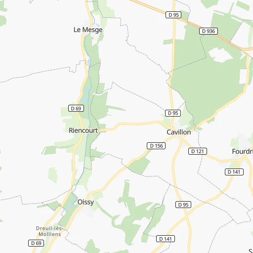
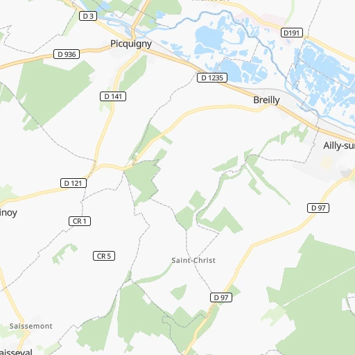
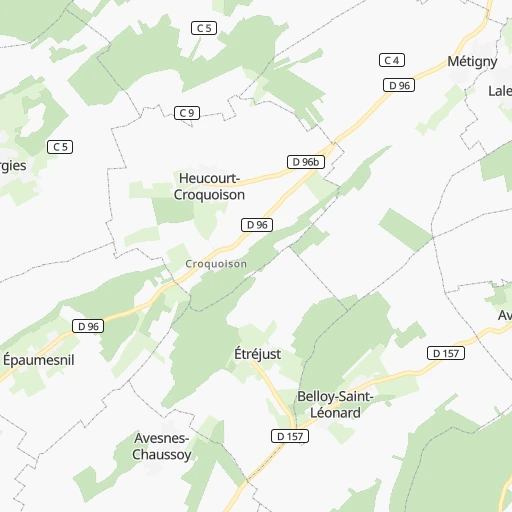
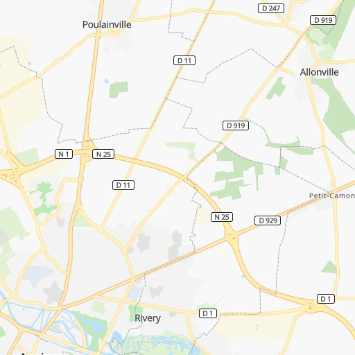
Roadmap (route) to go from Picquigny Railway Station to Douai detailed above, you can also see the course layout on the map.
While doing trip Picquigny Railway Station - Douai by car, the calculated route ends at a distance , or more straight.
Distance and duration of the route between Picquigny Railway Station and Douai
Calculation of distance and route from Douai to Picquigny Railway Station :
80.789.3 km1h29mn
Continue 0h0mn 71 mTurn right onto D 1235 0h1mn 810 mTurn right onto Rue Jean Catelas 0h8mn 6.9 kmTurn left onto Rue d'Amiens 0h1mn 941 mAt roundabout, take exit 1 onto Rue d'Hornas 0h1mn 487 mTurn slight left onto Route de Canaples 0h4mn 4.0 kmTurn slight right onto Rue du Château 0h0mn 308 mTurn left onto Rue d'Havernas 0h1mn 1.0 kmTurn right onto D 49 0h7mn 6.3 kmTurn right onto Rue de Doullens 0h8mn 7.2 kmTurn left onto Route de Doullens 0h2mn 1.9 kmAt roundabout, take exit 2 onto N 25 0h5mn 5.5 kmContinue onto N 25 0h22mn 23.6 kmAt roundabout, take exit 2 onto Route de Doullens 0h1mn 495 mAt roundabout, take exit 2 onto D 265 0h2mn 1.9 kmAt roundabout, take exit 2 onto Avenue Jean Mermoz 0h1mn 739 mAt roundabout, take exit 2 onto Rue Georges Auphelle 0h2mn 1.2 kmAt roundabout, take exit 2 onto Boulevard Georges Besnier 0h1mn 944 mAt roundabout, take exit 4 onto Boulevard Robert Schuman 0h1mn 1.0 kmKeep left onto Carrefour Jean Monnet and drive toward A 1, Cambrai, Bapaume, Zone Artoipole 0h0mn 43 mTurn left onto Carrefour Jean Monnet and drive toward A 1, A 26, Lens, Béthune, Le Touquet, Douai 0h0mn 50 mContinue onto D 917 and drive toward A 1, A 26, Lens, Béthune, Le Touquet, Douai 0h1mn 928 mKeep right onto D 950 and drive toward Hénin-Beaumont, Lille, Douai 0h7mn 10.5 kmAt roundabout, take exit 3 onto D 950 0h0mn 347 mAt roundabout, take exit 1 onto Route Nationale 0h4mn 4.4 kmAt roundabout, take exit 2 onto Rond-Point André Chuchart 0h1mn 1.7 kmAt roundabout, take exit 3 onto Route Nationale 0h2mn 1.6 kmAt roundabout, take exit 2 onto D 950 0h1mn 648 mAt roundabout, take exit 2 onto D 650 0h1mn 626 mAt roundabout, take exit 2 onto D 650 0h1mn 1.5 kmAt roundabout, take exit 3 onto Rue du Faubourg d’Arras 0h0mn 419 mAt roundabout, take exit 2 onto Rue du Faubourg d'Arras 0h1mn 874 mAt roundabout, take exit 4 onto Boulevard Jeanne d'Arc 0h0mn 327 mArrive at destination 0h0mn 0 m
Travel from Picquigny Railway Station (Hauts-de-France) to a selection of major cities.
Distances from Picquigny Railway Station to biggest cities in Hauts-de-France
- Creil,31,863 inhabitants.81 km
- Bethune,31,568 inhabitants.74 km
- Soissons,31,100 inhabitants.106 km
- Lomme,29,892 inhabitants.98 km
- Laon,28,688 inhabitants.115 km
- Lambersart,28,613 inhabitants.101 km
- Armentieres,26,646 inhabitants.98 km
- Abbeville,26,461 inhabitants.28 km
- Henin-Beaumont,25,371 inhabitants.78 km
- Coudekerque-Branche,25,201 inhabitants.121 km
- Bruay-la-Buissiere,24,474 inhabitants.66 km
- Saint-Pol-sur-Mer,23,635 inhabitants.122 km
- La Madeleine,23,572 inhabitants.102 km
- Hazebrouck,23,307 inhabitants.91 km
- Grande-Synthe,23,213 inhabitants.120 km
- Mons-en-Baroeul,23,006 inhabitants.103 km
- Loos,22,107 inhabitants.97 km
- Denain,21,412 inhabitants.99 km
- Croix,21,361 inhabitants.108 km
- Halluin,20,171 inhabitants.117 km
Other major cities in country :
- Saint-Quentin-en-Yvelines [11], 146,598 inhabitants. 131 km
- Brest [53], 144,899 inhabitants. 512 km
- Le Mans [52], 144,515 inhabitants. 259 km
- Tours [24], 141,621 inhabitants. 303 km
- Limoges [75], 141,176 inhabitants. 463 km
- Clermont-Ferrand [84], 138,681 inhabitants. 469 km
- Villeurbanne [84], 131,445 inhabitants. 508 km
- Besancon [27], 128,426 inhabitants. 414 km
- Orleans [24], 124,149 inhabitants. 228 km
- Metz [44], 123,914 inhabitants. 305 km
- Rouen [28], 112,787 inhabitants. 94 km
- Mulhouse [44], 111,430 inhabitants. 452 km
- Perpignan [76], 110,706 inhabitants. 809 km
- Caen [28], 110,624 inhabitants. 199 km
- Boulogne-Billancourt [11], 108,782 inhabitants. 124 km
- Nancy [44], 105,334 inhabitants. 325 km
- Argenteuil [11], 101,475 inhabitants. 111 km
- Saint-Denis [11], 96,128 inhabitants. 114 km
- Montreuil [11], 90,652 inhabitants. 122 km
- Avignon [93], 89,769 inhabitants. 698 km
Route from Douai to major cities (France).
- Distance Douai Paris176 km
- Distance Douai Marseille806 km
- Distance Douai Lyon531 km
- Distance Douai Toulouse763 km
- Distance Douai Nice807 km
- Distance Douai Nantes487 km
- Distance Douai Strasbourg392 km
- Distance Douai Montpellier755 km
- Distance Douai Bordeaux673 km
- Distance Douai Rennes426 km
- Distance Douai Reims142 km
- Distance Douai Le Havre233 km
- Distance Douai Cergy-Pontoise164 km
- Distance Douai Saint-Etienne558 km
- Distance Douai Toulon835 km
- Distance Douai Angers417 km
- Distance Douai Grenoble611 km
- Distance Douai Dijon368 km
- Distance Douai Nimes734 km
- Distance Douai Aix-en-Provence782 km
Nearest cities to Picquigny Railway Station :
- Paris, 2,138,551 inhabitants. 123 km
- Lille, 228,328 inhabitants. 100 km
- Reims, 196,565 inhabitants. 157 km
- Le Havre, 185,972 inhabitants. 155 km
- Cergy-Pontoise, 183,430 inhabitants. 101 km
- Angers, 168,279 inhabitants. 339 km
- Dijon, 149,782 inhabitants. 361 km
- Saint-Quentin-en-Yvelines, 146,598 inhabitants. 131 km
- Le Mans, 144,515 inhabitants. 259 km
- Amiens, 143,086 inhabitants. 12 km
- Tours, 141,621 inhabitants. 303 km
- Orleans, 124,149 inhabitants. 228 km
- Rouen, 112,787 inhabitants. 94 km
- Caen, 110,624 inhabitants. 199 km
- Boulogne-Billancourt, 108,782 inhabitants. 124 km
- Argenteuil, 101,475 inhabitants. 111 km
- Saint-Denis, 96,128 inhabitants. 114 km
- Roubaix, 95,721 inhabitants. 111 km
- Tourcoing, 91,574 inhabitants. 113 km
- Montreuil, 90,652 inhabitants. 122 km
- Asnieres-sur-Seine, 86,742 inhabitants. 115 km
- Nanterre, 86,719 inhabitants. 117 km
- Versailles, 85,416 inhabitants. 127 km
- Courbevoie, 85,158 inhabitants. 117 km
- Creteil, 84,833 inhabitants. 131 km
- Colombes, 82,300 inhabitants. 115 km
- Vitry-sur-Seine, 81,001 inhabitants. 130 km
- Aulnay-sous-Bois, 80,615 inhabitants. 115 km
- Champigny-sur-Marne, 76,726 inhabitants. 128 km
- Rueil-Malmaison, 76,616 inhabitants. 119 km
- Saint-Maur-des-Fosses, 75,402 inhabitants. 131 km
- Calais, 74,433 inhabitants. 114 km
- Dunkerque, 71,287 inhabitants. 122 km
- Aubervilliers, 70,914 inhabitants. 116 km
- Bourges, 67,987 inhabitants. 319 km
- Drancy, 62,488 inhabitants. 116 km
- Noisy-le-Grand, 62,420 inhabitants. 126 km
- Villeneuve-d'Ascq, 62,400 inhabitants. 104 km
- Levallois-Perret, 62,178 inhabitants. 118 km
- Issy-les-Moulineaux, 61,447 inhabitants. 126 km
- Neuilly-sur-Seine, 61,300 inhabitants. 119 km
- Troyes, 60,785 inhabitants. 231 km
- Antony, 59,845 inhabitants. 134 km
- Sarcelles, 57,979 inhabitants. 107 km
- Ivry-sur-Seine, 57,897 inhabitants. 127 km
- Evreux, 57,795 inhabitants. 125 km
- Cergy, 57,576 inhabitants. 101 km
- Clichy, 57,467 inhabitants. 117 km
- Saint-Quentin, 55,407 inhabitants. 83 km
- Sartrouville, 53,980 inhabitants. 111 km
Location Picquigny Railway Station (Hauts-de-France) :
| Country flag |  |
| Location | Picquigny Railway Station |
| State | Hauts-de-France |
| County | Somme |
| Country | France |
| Country code / ISO 2 | FR |
| Latitude | 49.9462600 |
| Longitude | 2.1429500 |
| Altitude | 0 meters |
| Time zone | Europe/Paris |
Location Douai (Hauts-de-France) :
| Country flag | |
| Location | Douai |
| State | Hauts-de-France |
| County | Nord |
| Country | France |
| Country code / ISO 2 | FR |
| Latitude | 50.3666700 |
| Longitude | 3.0666700 |
| Altitude | 0 meters |
| Time zone | Europe/Paris |


