
How to get from Erstein Railway Station (Grand Est) to Sarreguemines (Grand Est)
Calculate route from Erstein Railway Station (Grand Est, France) to Sarreguemines (Grand Est, France).
The flight distance (as the crow flies) between Erstein Railway Station and Sarreguemines is 87.0 km.
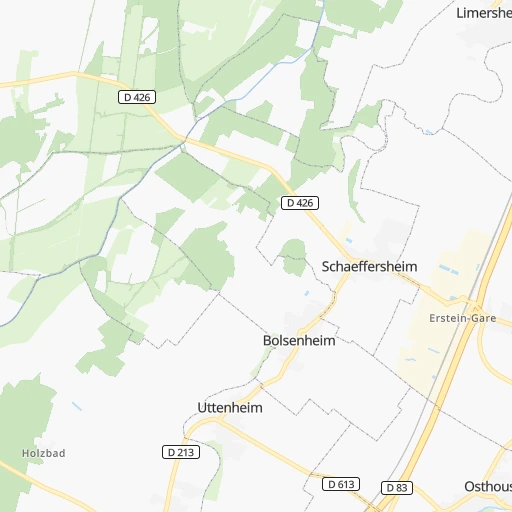
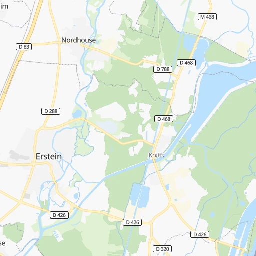
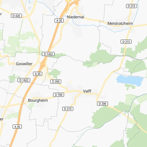
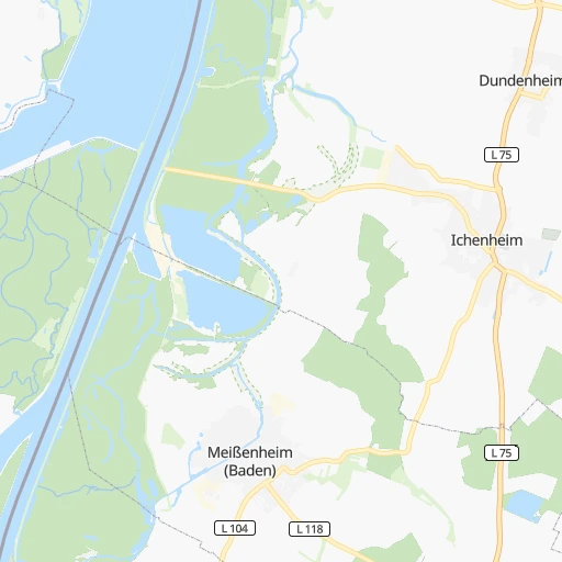
Roadmap (route) to go from Erstein Railway Station to Sarreguemines detailed above, you can also see the course layout on the map.
While doing trip Erstein Railway Station - Sarreguemines by car, the calculated route ends at a distance , or more straight.
Distance and duration of the route between Erstein Railway Station and Sarreguemines
Calculation of distance and route from Sarreguemines to Erstein Railway Station :
87.0111.2 km1h23mn
Continue 0h0mn 212 mAt roundabout, take exit 2 onto D 426 0h0mn 320 mAt roundabout, take exit 3 onto D 426 0h8mn 7.1 kmAt roundabout, take exit 1 onto D 426 0h0mn 202 mTurn right onto Rue Principale 0h3mn 2.4 kmAt roundabout, take exit 2 onto D 426 0h0mn 335 mAt roundabout, take exit 2 onto D 426 0h0mn 315 mAt roundabout, take exit 1 onto D 426 0h0mn 162 mKeep right and take D 500 toward Bischoffsheim, Molsheim, Z.I. Obernai 0h5mn 7.5 kmAt roundabout, take exit 2 0h2mn 1.5 kmContinue onto Avenue de la Gare 0h0mn 211 mContinue onto Avenue de la Gare 0h1mn 856 mKeep right onto Rue du Général de Gaulle 0h2mn 1.3 kmAt roundabout, take exit 2 onto D 422 0h4mn 3.4 kmAt roundabout, take exit 1 onto D 422 0h2mn 2.0 kmAt roundabout, take exit 2 onto D 422 0h1mn 728 mAt roundabout, take exit 2 onto D 422 0h1mn 721 mAt roundabout, take exit 2 onto D 422 0h1mn 1.4 kmAt roundabout, take exit 2 onto D 422 0h0mn 483 mAt roundabout, take exit 3 onto D 1004 0h2mn 2.1 kmAt roundabout, take exit 1 onto D 1004 0h1mn 570 mKeep left 0h1mn 1.1 kmAt roundabout, take exit 2 onto D 1004 0h1mn 1.1 kmAt roundabout, take exit 1 onto D 1004 0h3mn 3.7 kmAt roundabout, take exit 1 onto Rue du Général Leclerc 0h2mn 2.8 kmAt roundabout, take exit 3 onto D 1004 0h1mn 985 mAt roundabout, take exit 2 onto D 1004 0h1mn 770 mAt roundabout, take exit 3 onto Giratoire Nord 0h1mn 878 mKeep left onto D 1004 0h5mn 6.9 kmKeep left 0h26mn 49.5 kmKeep right and drive toward Sarreguemines 0h1mn 705 mAt roundabout, take exit 4 onto N 61 0h2mn 3.9 kmAt roundabout, take exit 3 onto N 61 0h1mn 2.0 kmAt roundabout, take exit 3 onto Rue de la Montagne 0h4mn 3.0 kmTurn right onto Rue des Généraux Crémer 0h0mn 144 mTurn left onto Rue de la Chapelle 0h0mn 52 mTurn left onto Ruelle Holz 0h0mn 23 mArrive at destination 0h0mn 0 m
Travel from Erstein Railway Station (Grand Est) to a selection of major cities.
Distances from Erstein Railway Station to biggest cities in Grand Est
- Sarreguemines,24,446 inhabitants.87 km
- Verdun,21,798 inhabitants.185 km
- Luneville,21,582 inhabitants.86 km
- Forbach,21,358 inhabitants.100 km
- Saint-Louis,20,871 inhabitants.93 km
- Sedan,20,620 inhabitants.242 km
Other major cities in country :
- Brest [53], 144,899 inhabitants. 895 km
- Le Mans [52], 144,515 inhabitants. 553 km
- Amiens [32], 143,086 inhabitants. 422 km
- Tours [24], 141,621 inhabitants. 530 km
- Limoges [75], 141,176 inhabitants. 563 km
- Clermont-Ferrand [84], 138,681 inhabitants. 453 km
- Villeurbanne [84], 131,445 inhabitants. 362 km
- Besancon [27], 128,426 inhabitants. 178 km
- Orleans [24], 124,149 inhabitants. 430 km
- Rouen [28], 112,787 inhabitants. 491 km
- Perpignan [76], 110,706 inhabitants. 736 km
- Caen [28], 110,624 inhabitants. 592 km
- Boulogne-Billancourt [11], 108,782 inhabitants. 399 km
- Argenteuil [11], 101,475 inhabitants. 400 km
- Saint-Denis [11], 96,128 inhabitants. 392 km
- Roubaix [32], 95,721 inhabitants. 410 km
- Tourcoing [32], 91,574 inhabitants. 412 km
- Montreuil [11], 90,652 inhabitants. 385 km
- Avignon [93], 89,769 inhabitants. 544 km
- Marseille 13 [93], 89,316 inhabitants. 594 km
Route from Sarreguemines to major cities (France).
- Distance Sarreguemines Paris346 km
- Distance Sarreguemines Marseille660 km
- Distance Sarreguemines Lyon410 km
- Distance Sarreguemines Toulouse749 km
- Distance Sarreguemines Nice602 km
- Distance Sarreguemines Nantes673 km
- Distance Sarreguemines Montpellier659 km
- Distance Sarreguemines Bordeaux750 km
- Distance Sarreguemines Lille334 km
- Distance Sarreguemines Rennes653 km
- Distance Sarreguemines Le Havre507 km
- Distance Sarreguemines Cergy-Pontoise364 km
- Distance Sarreguemines Saint-Etienne456 km
- Distance Sarreguemines Toulon672 km
- Distance Sarreguemines Angers592 km
- Distance Sarreguemines Grenoble450 km
- Distance Sarreguemines Dijon251 km
- Distance Sarreguemines Nimes623 km
- Distance Sarreguemines Aix-en-Provence634 km
- Distance Sarreguemines Saint-Quentin-en-Yvelines371 km
Nearest cities to Erstein Railway Station :
- Lyon, 472,317 inhabitants. 365 km
- Strasbourg, 274,845 inhabitants. 20 km
- Dijon, 149,782 inhabitants. 231 km
- Villeurbanne, 131,445 inhabitants. 362 km
- Besancon, 128,426 inhabitants. 178 km
- Metz, 123,914 inhabitants. 133 km
- Mulhouse, 111,430 inhabitants. 78 km
- Nancy, 105,334 inhabitants. 111 km
- Colmar, 65,405 inhabitants. 44 km
- Chambery, 61,640 inhabitants. 344 km
- Venissieux, 57,584 inhabitants. 368 km
- Belfort, 54,562 inhabitants. 105 km
- Charleville-Mezieres, 52,415 inhabitants. 260 km
- Annecy, 49,232 inhabitants. 303 km
- Chalon-sur-Saone, 47,251 inhabitants. 278 km
- Bourg-en-Bresse, 45,340 inhabitants. 307 km
- Thionville, 44,311 inhabitants. 150 km
- Caluire-et-Cuire, 42,763 inhabitants. 362 km
- Saint-Priest, 41,641 inhabitants. 366 km
- Epinal, 39,518 inhabitants. 92 km
- Haguenau, 38,721 inhabitants. 45 km
- Bron, 37,825 inhabitants. 364 km
- Vaulx-en-Velin, 37,489 inhabitants. 359 km
- Macon, 35,484 inhabitants. 316 km
- Villefranche-sur-Saone, 32,994 inhabitants. 350 km
- Vienne, 32,293 inhabitants. 386 km
- Schiltigheim, 32,289 inhabitants. 22 km
- Saint-Dizier, 31,918 inhabitants. 200 km
- Vandoeuvre-les-Nancy, 31,785 inhabitants. 110 km
- Thonon-les-Bains, 31,684 inhabitants. 245 km
- Chaumont, 28,981 inhabitants. 188 km
- Meyzieu, 28,929 inhabitants. 357 km
- Montbeliard, 28,865 inhabitants. 119 km
- Annemasse, 28,275 inhabitants. 270 km
- Rillieux-la-Pape, 28,076 inhabitants. 357 km
- Aix-les-Bains, 27,651 inhabitants. 331 km
- Illkirch-Graffenstaden, 27,261 inhabitants. 13 km
- Montigny-les-Metz, 26,369 inhabitants. 132 km
- Dole, 25,878 inhabitants. 217 km
- Oyonnax, 25,697 inhabitants. 283 km
- Oullins, 25,592 inhabitants. 370 km
- Bourgoin, 24,790 inhabitants. 363 km
- Decines-Charpieu, 24,674 inhabitants. 358 km
- Saint-Die-des-Vosges, 24,628 inhabitants. 53 km
- Sarreguemines, 24,446 inhabitants. 87 km
- Beaune, 24,162 inhabitants. 261 km
- Bourgoin-Jallieu, 23,517 inhabitants. 363 km
- Sainte-Foy-les-Lyon, 21,893 inhabitants. 368 km
- Verdun, 21,798 inhabitants. 185 km
- Luneville, 21,582 inhabitants. 86 km
Location Erstein Railway Station (Grand Est) :
| Country flag |  |
| Location | Erstein Railway Station |
| State | Grand Est |
| County | Bas-Rhin |
| Country | France |
| Country code / ISO 2 | FR |
| Latitude | 48.4228600 |
| Longitude | 7.6381000 |
| Altitude | 0 meters |
| Time zone | Europe/Paris |
Location Sarreguemines (Grand Est) :
| Country flag | |
| Location | Sarreguemines |
| State | Grand Est |
| County | Moselle |
| Country | France |
| Country code / ISO 2 | FR |
| Latitude | 49.1099500 |
| Longitude | 7.0674700 |
| Altitude | 0 meters |
| Time zone | Europe/Paris |


