
How to get from Birkey Private (airport) (Indiana) to Kokomo (Indiana)
Calculate route from Birkey Private (airport) (Indiana, United States) to Kokomo (Indiana, United States).
The flight distance (as the crow flies) between Birkey Private (airport) and Kokomo is 107.3 km.
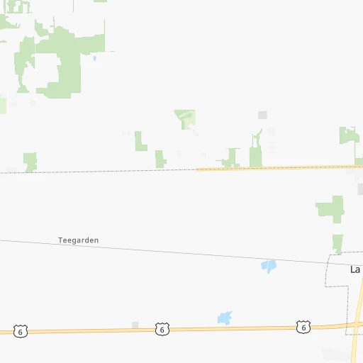
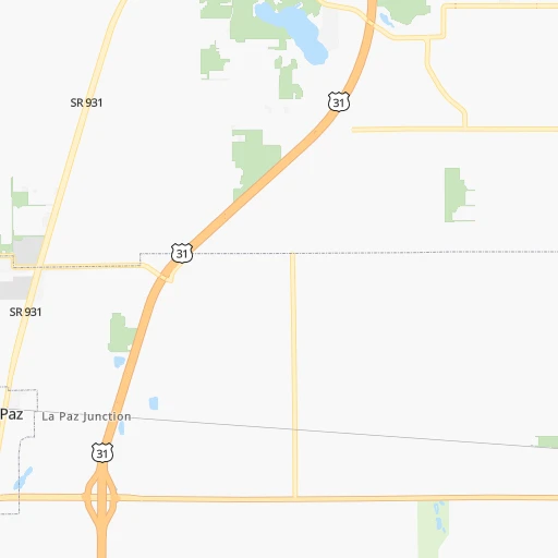
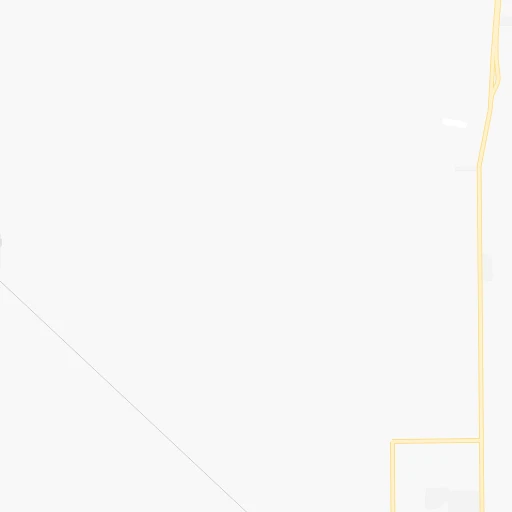
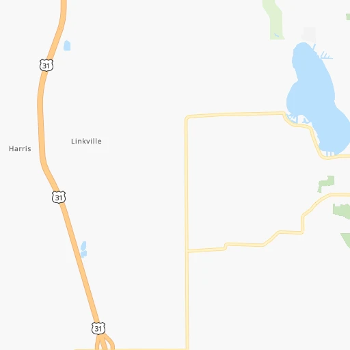
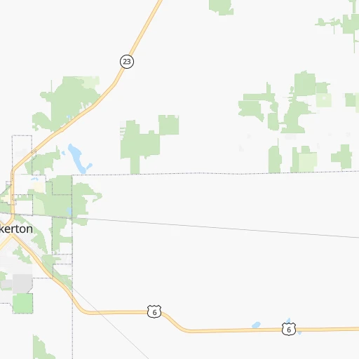
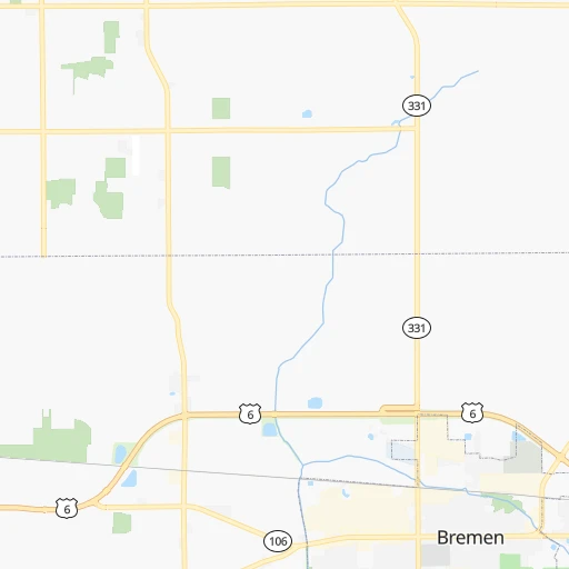
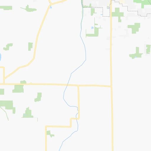
Roadmap (route) to go from Birkey Private Airport to Kokomo detailed above, you can also see the course layout on the map.
While doing trip Birkey Private (airport) - Kokomo by car, the calculated route ends at a distance , or more straight.
Distance and duration of the route between Birkey Private (airport) and Kokomo
Calculation of distance and route from Kokomo to Birkey Private (airport) :
107.3114.7 km1h22mn
Continue 0h1mn 266 mTurn right onto Linden Road 0h1mn 372 mTurn left onto Grand Army of the Republic Highway 0h1mn 1.5 kmTurn left and take US 6 toward Walkerton, Bremen 1h13mn 105.3 kmKeep right onto SR 931 and take SR 931 South toward Kokomo 0h1mn 1.9 kmTurn right 0h5mn 5.3 kmTurn left onto West Sycamore Street 0h0mn 6 mArrive at destination 0h0mn 0 m
Travel from Birkey Private (airport) (Indiana) to a selection of major cities.
Distances from Birkey Private Airport to biggest cities in Indiana
- Columbus,46,690 inhabitants.252 km
- West Lafayette,45,550 inhabitants.126 km
- Portage,36,738 inhabitants.77 km
- Westfield,36,738 inhabitants.157 km
- New Albany,36,732 inhabitants.354 km
- Richmond,35,854 inhabitants.215 km
- Merrillville,35,224 inhabitants.88 km
- Goshen,32,983 inhabitants.40 km
- Valparaiso,32,626 inhabitants.66 km
- Michigan City,31,459 inhabitants.59 km
- Plainfield,30,590 inhabitants.194 km
- Granger,30,465 inhabitants.37 km
- Marion,29,081 inhabitants.112 km
- Crown Point,28,879 inhabitants.91 km
- Schererville,28,791 inhabitants.99 km
- East Chicago,28,699 inhabitants.101 km
- Hobart,28,404 inhabitants.82 km
- Zionsville,26,296 inhabitants.166 km
- Brownsburg,24,996 inhabitants.179 km
- Franklin,24,598 inhabitants.220 km
Other major cities in country :
- Seattle [WA], 684,451 inhabitants. 2,914 km
- Denver [CO], 682,545 inhabitants. 1,590 km
- El Paso [TX], 681,124 inhabitants. 2,096 km
- Detroit [MI], 677,116 inhabitants. 285 km
- Boston [MA], 667,137 inhabitants. 1,263 km
- Memphis [TN], 655,770 inhabitants. 774 km
- New South Memphis [TN], 641,608 inhabitants. 781 km
- Portland [OR], 632,309 inhabitants. 2,949 km
- Oklahoma City [OK], 631,346 inhabitants. 1,183 km
- Las Vegas [NV], 623,747 inhabitants. 2,559 km
- Baltimore [MD], 621,849 inhabitants. 853 km
- Washington, D.C. [DC], 601,723 inhabitants. 835 km
- Milwaukee [WI], 600,155 inhabitants. 223 km
- South Boston [MA], 571,281 inhabitants. 1,264 km
- Albuquerque [NM], 559,121 inhabitants. 1,911 km
- Tucson [AZ], 531,641 inhabitants. 2,413 km
- Nashville [TN], 530,852 inhabitants. 589 km
- Fresno [CA], 520,052 inhabitants. 2,922 km
- Sacramento [CA], 490,712 inhabitants. 2,999 km
- Kansas City [MO], 475,378 inhabitants. 752 km
Route from Kokomo to major cities (United States).
- Distance Kokomo New York City1,025 km
- Distance Kokomo Los Angeles2,916 km
- Distance Kokomo Chicago198 km
- Distance Kokomo Brooklyn1,030 km
- Distance Kokomo Houston1,458 km
- Distance Kokomo Queens1,039 km
- Distance Kokomo Philadelphia934 km
- Distance Kokomo Phoenix2,426 km
- Distance Kokomo Manhattan1,028 km
- Distance Kokomo San Antonio1,666 km
- Distance Kokomo San Diego2,888 km
- Distance Kokomo The Bronx1,036 km
- Distance Kokomo Dallas1,281 km
- Distance Kokomo San Jose3,096 km
- Distance Kokomo Austin1,548 km
- Distance Kokomo Jacksonville1,201 km
- Distance Kokomo San Francisco3,126 km
- Distance Kokomo Columbus273 km
- Distance Kokomo Fort Worth1,319 km
- Distance Kokomo Charlotte747 km
Nearest cities to Birkey Private (airport) :
- Chicago, 2,720,546 inhabitants. 123 km
- Indianapolis, 829,718 inhabitants. 187 km
- Milwaukee, 600,155 inhabitants. 223 km
- Cincinnati, 296,943 inhabitants. 298 km
- Toledo, 279,789 inhabitants. 228 km
- Fort Wayne, 260,326 inhabitants. 102 km
- Aurora, 200,661 inhabitants. 174 km
- Grand Rapids, 195,097 inhabitants. 176 km
- Rockford, 148,278 inhabitants. 251 km
- Joliet, 147,861 inhabitants. 151 km
- Naperville, 147,100 inhabitants. 160 km
- Dayton, 140,599 inhabitants. 257 km
- Ann Arbor, 117,070 inhabitants. 229 km
- Lansing, 115,056 inhabitants. 202 km
- Elgin, 112,111 inhabitants. 179 km
- South Bend, 101,516 inhabitants. 26 km
- Kenosha, 99,858 inhabitants. 180 km
- Flint, 98,310 inhabitants. 275 km
- Livonia, 94,635 inhabitants. 263 km
- Carmel, 88,713 inhabitants. 164 km
- Waukegan, 88,475 inhabitants. 165 km
- Canton, 86,825 inhabitants. 250 km
- West Town, 86,429 inhabitants. 127 km
- Champaign, 86,096 inhabitants. 222 km
- Near North Side, 85,711 inhabitants. 124 km
- Bloomington, 84,067 inhabitants. 255 km
- Cicero, 83,886 inhabitants. 131 km
- Westland, 82,000 inhabitants. 257 km
- Farmington Hills, 81,330 inhabitants. 266 km
- Belmont Cragin, 79,159 inhabitants. 136 km
- Bloomington, 78,292 inhabitants. 253 km
- Racine, 77,742 inhabitants. 189 km
- Hammond, 77,614 inhabitants. 103 km
- Gary, 77,156 inhabitants. 91 km
- Fishers, 76,794 inhabitants. 167 km
- Kalamazoo, 76,041 inhabitants. 110 km
- Arlington Heights, 75,926 inhabitants. 159 km
- Waterford, 75,737 inhabitants. 274 km
- Evanston, 75,527 inhabitants. 135 km
- Wyoming, 75,275 inhabitants. 170 km
- Schaumburg, 74,693 inhabitants. 164 km
- Bolingbrook, 74,306 inhabitants. 152 km
- Appleton, 74,139 inhabitants. 359 km
- South Lawndale, 73,826 inhabitants. 128 km
- Logan Square, 73,702 inhabitants. 130 km
- Decatur, 73,254 inhabitants. 289 km
- West Ridge, 72,211 inhabitants. 133 km
- Waukesha, 71,970 inhabitants. 238 km
- Lafayette, 71,111 inhabitants. 125 km
- Muncie, 70,087 inhabitants. 158 km
Location Birkey Private (airport) (Indiana) :
| Country flag |  |
| Location | Birkey Private (airport) |
| State | Indiana |
| County | Marshall County |
| Country | United States |
| Country code / ISO 2 | US |
| Latitude | 41.4463700 |
| Longitude | -86.2732300 |
| Altitude | 256 meters |
| Time zone | America/Indiana/Indianapolis |
Location Kokomo (Indiana) :
| Country flag | |
| Location | Kokomo |
| State | Indiana |
| County | Howard County |
| Country | United States |
| Country code / ISO 2 | US |
| Latitude | 40.4864300 |
| Longitude | -86.1336000 |
| Altitude | 247 meters |
| Time zone | America/Indiana/Indianapolis |


