
How to get from Mike's Place (airport) (Oklahoma) to Borger (Texas)
Calculate route from Mike's Place (airport) (Oklahoma, United States) to Borger (Texas, United States).
The flight distance (as the crow flies) between Mike's Place (airport) and Borger is 217.6 km.
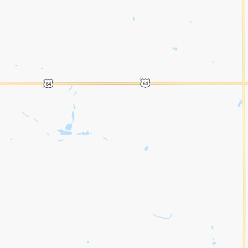
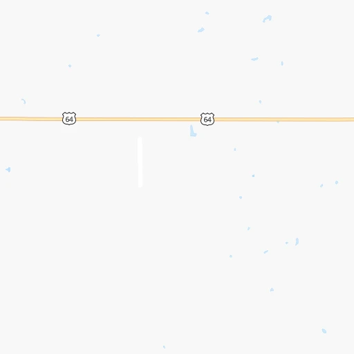
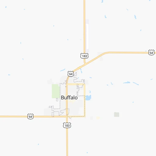
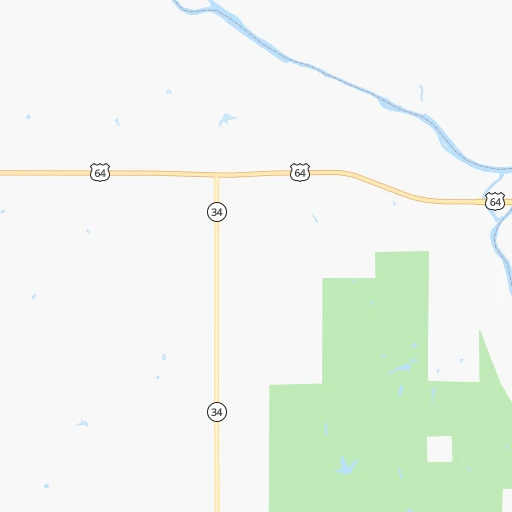
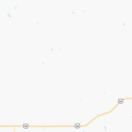
Roadmap (route) to go from Mike's Place Airport to Borger detailed above, you can also see the course layout on the map.
While doing trip Mike's Place (airport) - Borger by car, the calculated route ends at a distance , or more straight.
Distance and duration of the route between Mike's Place (airport) and Borger
Calculation of distance and route from Borger to Mike's Place (airport) :
217.6274.9 km3h15mn
Continue onto E0120 Road 0h3mn 1.6 kmTurn right onto N1990 Road 0h3mn 1.6 kmTurn left onto US 64 0h15mn 16.1 kmTurn right onto US 64 0h22mn 23.7 kmTurn left onto N1760 Road 0h19mn 21.2 kmKeep right 0h0mn 61 mTurn slight right onto US 270, US 412, OK 3 1h36mn 56.5 kmTurn left onto OK 23 0h12mn 18.4 kmTurn right onto East Industrial Avenue 0h17mn 25.8 kmContinue onto West Brillhart Avenue 0h25mn 42.2 kmKeep left onto TX 207 1h41mn 65.2 kmAt roundabout, take exit 2 onto North Cedar Street 0h2mn 2.4 kmTurn sharp left 0h0mn 91 mArrive at destination 0h0mn 0 m
Travel from Mike's Place (airport) (Texas) to a selection of major cities.
Distances from Mike's Place Airport to biggest cities in Oklahoma
Other major cities in country :
- Charlotte [NC], 827,097 inhabitants. 1,683 km
- Seattle [WA], 684,451 inhabitants. 2,221 km
- Denver [CO], 682,545 inhabitants. 580 km
- El Paso [TX], 681,124 inhabitants. 859 km
- Detroit [MI], 677,116 inhabitants. 1,531 km
- Boston [MA], 667,137 inhabitants. 2,499 km
- Memphis [TN], 655,770 inhabitants. 868 km
- New South Memphis [TN], 641,608 inhabitants. 869 km
- Portland [OR], 632,309 inhabitants. 2,161 km
- Las Vegas [NV], 623,747 inhabitants. 1,403 km
- Baltimore [MD], 621,849 inhabitants. 2,015 km
- Washington, D.C. [DC], 601,723 inhabitants. 1,978 km
- Milwaukee [WI], 600,155 inhabitants. 1,201 km
- South Boston [MA], 571,281 inhabitants. 2,500 km
- Albuquerque [NM], 559,121 inhabitants. 677 km
- Tucson [AZ], 531,641 inhabitants. 1,170 km
- Nashville [TN], 530,852 inhabitants. 1,136 km
- Fresno [CA], 520,052 inhabitants. 1,808 km
- Sacramento [CA], 490,712 inhabitants. 1,946 km
- Kansas City [MO], 475,378 inhabitants. 496 km
Route from Borger to major cities (United States).
- Distance Borger New York City2,451 km
- Distance Borger Los Angeles1,547 km
- Distance Borger Chicago1,375 km
- Distance Borger Brooklyn2,455 km
- Distance Borger Queens2,465 km
- Distance Borger Philadelphia2,347 km
- Distance Borger Phoenix1,009 km
- Distance Borger Manhattan2,455 km
- Distance Borger San Diego1,487 km
- Distance Borger The Bronx2,464 km
- Distance Borger San Jose1,840 km
- Distance Borger Jacksonville1,932 km
- Distance Borger San Francisco1,886 km
- Distance Borger Columbus1,684 km
- Distance Borger Indianapolis1,415 km
- Distance Borger Charlotte1,861 km
- Distance Borger Seattle2,179 km
- Distance Borger Denver552 km
- Distance Borger Detroit1,748 km
- Distance Borger Boston2,712 km
Nearest cities to Mike's Place (airport) :
- Oklahoma City, 631,346 inhabitants. 232 km
- Wichita, 389,965 inhabitants. 210 km
- Amarillo, 198,645 inhabitants. 280 km
- Norman, 120,284 inhabitants. 256 km
- Wichita Falls, 104,710 inhabitants. 338 km
- Lawton, 96,655 inhabitants. 267 km
- Edmond, 90,092 inhabitants. 222 km
- Moore, 60,451 inhabitants. 244 km
- Midwest City, 57,249 inhabitants. 242 km
- Manhattan, 56,308 inhabitants. 363 km
- Enid, 51,776 inhabitants. 150 km
- Stillwater, 48,967 inhabitants. 230 km
- Salina, 47,813 inhabitants. 275 km
- Hutchinson, 41,569 inhabitants. 191 km
- Shawnee, 31,286 inhabitants. 284 km
- Dodge City, 27,912 inhabitants. 113 km
- Garden City, 27,005 inhabitants. 177 km
- Yukon, 25,892 inhabitants. 213 km
- Ardmore, 25,176 inhabitants. 364 km
- Ponca City, 24,758 inhabitants. 212 km
- Junction City, 24,621 inhabitants. 335 km
- Derby, 23,509 inhabitants. 209 km
- Duncan, 23,231 inhabitants. 294 km
- Del City, 22,022 inhabitants. 239 km
- Hays, 21,092 inhabitants. 227 km
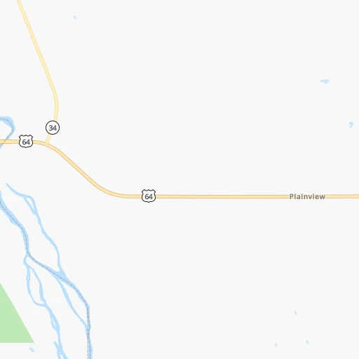
- Plainview, 20,919 inhabitants. 360 km
- Liberal, 20,746 inhabitants. 132 km
- Mustang, 20,226 inhabitants. 225 km
- Bethany, 19,589 inhabitants. 221 km
- Newton, 19,216 inhabitants. 230 km
- Altus, 19,214 inhabitants. 246 km
- El Reno, 18,516 inhabitants. 199 km
- Pampa, 18,177 inhabitants. 199 km
- Ada, 17,303 inhabitants. 341 km
- Chickasha, 16,488 inhabitants. 242 km
- Great Bend, 15,717 inhabitants. 180 km
- Hereford, 15,021 inhabitants. 349 km
- Dumas, 15,001 inhabitants. 251 km
- Canyon, 14,887 inhabitants. 304 km
- McPherson, 13,144 inhabitants. 232 km
- Woodward, 12,993 inhabitants. 46 km
- Borger, 12,964 inhabitants. 218 km
- El Dorado, 12,931 inhabitants. 254 km
- Andover, 12,745 inhabitants. 227 km
- Elk City, 12,717 inhabitants. 160 km
- Winfield, 12,204 inhabitants. 223 km
- Choctaw, 12,179 inhabitants. 247 km
- Arkansas City, 12,136 inhabitants. 217 km
- Weatherford, 12,126 inhabitants. 162 km
- Guymon, 11,921 inhabitants. 181 km
Location Mike's Place (airport) (Oklahoma) :
| Country flag |  |
| Location | Mike's Place (airport) |
| State | Oklahoma |
| County | Harper County |
| Country | United States |
| Country code / ISO 2 | US |
| Latitude | 36.8455200 |
| Longitude | -99.4573200 |
| Altitude | 537 meters |
| Time zone | America/Chicago |
Location Borger (Texas) :
| Country flag | |
| Location | Borger |
| State | Texas |
| County | Hutchinson County |
| Country | United States |
| Country code / ISO 2 | US |
| Latitude | 35.6678200 |
| Longitude | -101.3973900 |
| Altitude | 938 meters |
| Time zone | America/Chicago |

