
How to get from Dale O. Galer Aerodrome (Alabama) to Decatur (Alabama)
Calculate route from Dale O. Galer Aerodrome (Alabama, United States) to Decatur (Alabama, United States).
The flight distance (as the crow flies) between Dale O. Galer Aerodrome and Decatur is 471.3 km.
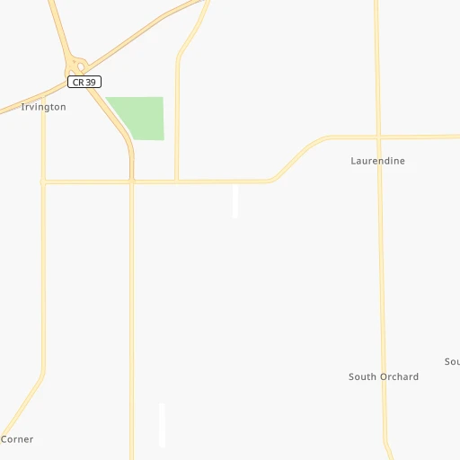
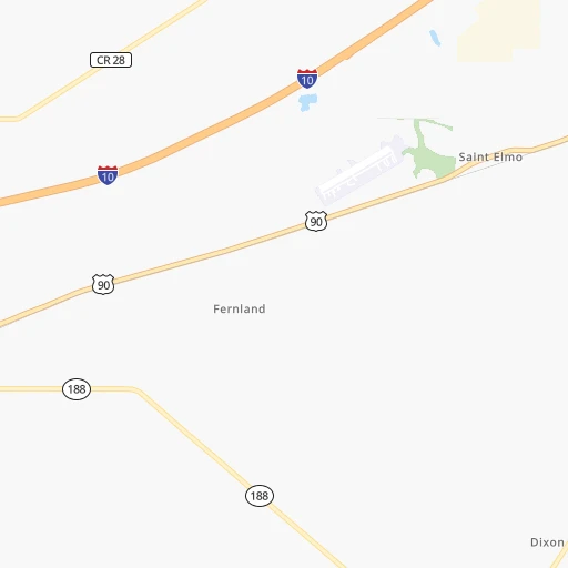
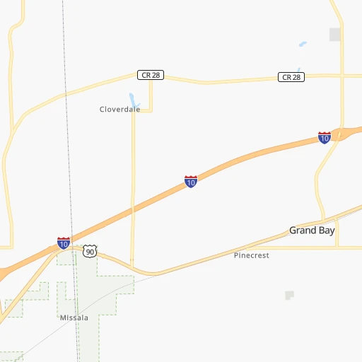
Roadmap (route) to go from Dale O. Galer Aerodrome to Decatur detailed above, you can also see the course layout on the map.
While doing trip Dale O. Galer Aerodrome - Decatur by car, the calculated route ends at a distance , or more straight.
Distance and duration of the route between Dale O. Galer Aerodrome and Decatur
Calculation of distance and route from Decatur to Dale O. Galer Aerodrome :
471.3566.2 km6h54mn
Continue 0h1mn 566 mTurn left onto Half Mile Road 0h1mn 943 mTurn right onto Padgett Switch Road 0h4mn 3.6 kmTurn right onto Government Boulevard 0h6mn 7.1 kmKeep right 0h5mn 7.4 kmKeep left and take I 65 North toward Montgomery 5h7mn 511.9 kmKeep right and take US 31 toward Lacon, Vinemont 0h0mn 394 mKeep left toward US 31 North 0h0mn 36 mTurn left onto 2nd Avenue 0h24mn 29.5 kmTurn slight right onto 6th Avenue Southeast 0h4mn 3.9 kmTurn left onto Gordon Drive Southeast 0h0mn 252 mTurn right onto 4th Avenue Southeast 0h1mn 680 mTurn left onto Lee Street Northeast 0h0mn 85 mTurn right 0h0mn 25 mArrive at destination 0h0mn 0 m
Travel from Dale O. Galer Aerodrome (Alabama) to a selection of major cities.
Distances from Dale O. Galer Aerodrome to biggest cities in Alabama
- Homewood,25,708 inhabitants.357 km
- Athens,24,966 inhabitants.494 km
- Daphne,24,896 inhabitants.31 km
- Northport,24,772 inhabitants.311 km
- Dixiana,22,940 inhabitants.390 km
- Pelham,22,885 inhabitants.338 km
- Prichard,22,351 inhabitants.30 km
- Anniston,22,347 inhabitants.418 km
- Albertville,21,462 inhabitants.460 km
- Oxford,21,249 inhabitants.413 km
- Trussville,21,023 inhabitants.379 km
- Mountain Brook,20,691 inhabitants.362 km
Other major cities in country :
- Charlotte [NC], 827,097 inhabitants. 866 km
- Seattle [WA], 684,451 inhabitants. 3,470 km
- Denver [CO], 682,545 inhabitants. 1,838 km
- El Paso [TX], 681,124 inhabitants. 1,746 km
- Detroit [MI], 677,116 inhabitants. 1,396 km
- Boston [MA], 667,137 inhabitants. 2,018 km
- Memphis [TN], 655,770 inhabitants. 547 km
- New South Memphis [TN], 641,608 inhabitants. 540 km
- Portland [OR], 632,309 inhabitants. 3,419 km
- Oklahoma City [OK], 631,346 inhabitants. 1,031 km
- Las Vegas [NV], 623,747 inhabitants. 2,575 km
- Baltimore [MD], 621,849 inhabitants. 1,440 km
- Washington, D.C. [DC], 601,723 inhabitants. 1,383 km
- Milwaukee [WI], 600,155 inhabitants. 1,397 km
- South Boston [MA], 571,281 inhabitants. 2,017 km
- Albuquerque [NM], 559,121 inhabitants. 1,798 km
- Tucson [AZ], 531,641 inhabitants. 2,165 km
- Nashville [TN], 530,852 inhabitants. 645 km
- Fresno [CA], 520,052 inhabitants. 2,994 km
- Sacramento [CA], 490,712 inhabitants. 3,164 km
Route from Decatur to major cities (United States).
- Distance Decatur New York City1,328 km
- Distance Decatur Los Angeles2,863 km
- Distance Decatur Chicago809 km
- Distance Decatur Brooklyn1,330 km
- Distance Decatur Houston955 km
- Distance Decatur Queens1,340 km
- Distance Decatur Philadelphia1,203 km
- Distance Decatur Phoenix2,312 km
- Distance Decatur Manhattan1,335 km
- Distance Decatur San Antonio1,229 km
- Distance Decatur San Diego2,794 km
- Distance Decatur The Bronx1,346 km
- Distance Decatur Dallas932 km
- Distance Decatur San Jose3,142 km
- Distance Decatur Austin1,119 km
- Distance Decatur Jacksonville690 km
- Distance Decatur San Francisco3,184 km
- Distance Decatur Columbus693 km
- Distance Decatur Fort Worth980 km
- Distance Decatur Indianapolis579 km
Nearest cities to Dale O. Galer Aerodrome :
- New Orleans, 389,617 inhabitants. 190 km
- Baton Rouge, 228,590 inhabitants. 284 km
- Montgomery, 200,602 inhabitants. 276 km
- Mobile, 194,288 inhabitants. 27 km
- Jackson, 170,674 inhabitants. 276 km
- Metairie Terrace, 142,489 inhabitants. 197 km
- Metairie, 138,481 inhabitants. 196 km
- Tuscaloosa, 98,332 inhabitants. 309 km
- Hoover, 84,848 inhabitants. 350 km
- Gulfport, 71,856 inhabitants. 87 km
- West Gulfport, 71,329 inhabitants. 87 km
- Dothan, 68,567 inhabitants. 280 km
- Kenner, 67,091 inhabitants. 204 km
- Auburn, 62,059 inhabitants. 349 km
- East Pensacola Heights, 54,104 inhabitants. 98 km
- Pensacola, 53,193 inhabitants. 94 km
- Hattiesburg, 46,805 inhabitants. 140 km
- Biloxi, 45,637 inhabitants. 67 km
- Meridian, 39,661 inhabitants. 214 km
- Panama City, 38,286 inhabitants. 247 km
- Prattville, 35,420 inhabitants. 275 km
- Houma, 34,287 inhabitants. 263 km
- Vestavia Hills, 34,174 inhabitants. 355 km
- Marrero, 33,141 inhabitants. 194 km
- Alabaster, 32,707 inhabitants. 333 km
- Greenville, 32,156 inhabitants. 423 km
- Navarre, 31,378 inhabitants. 128 km
- Laplace, 29,872 inhabitants. 224 km
- Opelika, 29,527 inhabitants. 359 km
- Ferry Pass, 28,921 inhabitants. 95 km
- Central, 28,295 inhabitants. 272 km
- Enterprise, 27,978 inhabitants. 242 km
- Slidell, 27,942 inhabitants. 154 km
- Prairieville, 26,895 inhabitants. 267 km
- Bessemer, 26,730 inhabitants. 345 km
- Cantonment, 26,493 inhabitants. 83 km
- Pearl, 26,462 inhabitants. 271 km
- Madison, 25,799 inhabitants. 285 km
- Homewood, 25,708 inhabitants. 357 km
- Starkville, 25,366 inhabitants. 335 km
- Clinton, 25,254 inhabitants. 288 km
- Daphne, 24,896 inhabitants. 31 km
- Northport, 24,772 inhabitants. 311 km
- Ridgeland, 24,351 inhabitants. 283 km
- Brandon, 23,529 inhabitants. 261 km
- Bellview, 23,355 inhabitants. 85 km
- Terrytown, 23,319 inhabitants. 188 km
- Crestview, 23,270 inhabitants. 159 km
- Vicksburg, 23,131 inhabitants. 328 km
- Wright, 23,127 inhabitants. 150 km
Location Dale O. Galer Aerodrome (Alabama) :
| Country flag |  |
| Location | Dale O. Galer Aerodrome |
| State | Alabama |
| County | Mobile County |
| Country | United States |
| Country code / ISO 2 | US |
| Latitude | 30.4896900 |
| Longitude | -88.1983100 |
| Altitude | 11 meters |
| Time zone | America/Chicago |
Location Decatur (Alabama) :
| Country flag | |
| Location | Decatur |
| State | Alabama |
| County | Morgan County |
| Country | United States |
| Country code / ISO 2 | US |
| Latitude | 34.6059300 |
| Longitude | -86.9833400 |
| Altitude | 171 meters |
| Time zone | America/Chicago |


