
How to get from Taylor's Air Strip (Arkansas) to San Diego (California)
Calculate route from Taylor's Air Strip (Arkansas, United States) to San Diego (California, United States).
The flight distance (as the crow flies) between Taylor's Air Strip and San Diego is 2,217.0 km.
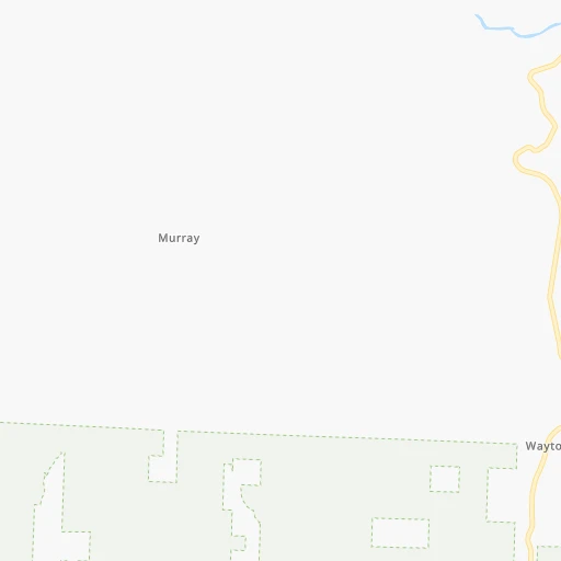
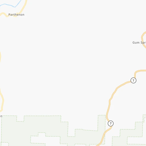
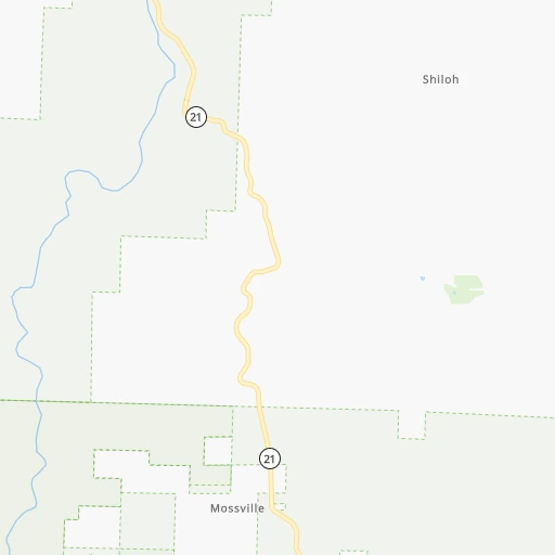
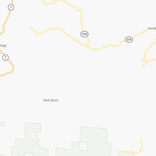
Roadmap (route) to go from Taylor's Air Strip to San Diego detailed above, you can also see the course layout on the map.
While doing trip Taylor's Air Strip - San Diego by car, the calculated route ends at a distance , or more straight.
Distance and duration of the route between Taylor's Air Strip and San Diego
Calculation of distance and route from San Diego to Taylor's Air Strip :
2,217.02,547.5 km27h55mn
Continue 0h1mn 270 mTurn sharp left onto Nfm 28 0h0mn 320 mTurn left onto County Road 95 0h3mn 1.3 kmKeep right 0h1mn 326 mTurn right 0h0mn 48 mKeep left 0h0mn 126 mTurn slight right 0h2mn 792 mTurn left 0h2mn 1.1 kmTurn sharp left onto County Road 95 0h8mn 4.1 kmTurn left onto County Road 171 0h1mn 271 mTurn left onto County Road 171 0h0mn 249 mTurn right 0h0mn 236 mTurn slight left onto Daniels Ridge Road 0h0mn 190 mContinue onto Daniels Ridge Road 0h6mn 2.9 kmKeep right onto County Road 171 0h1mn 611 mTurn left onto Daniels Ridge Road 0h10mn 5.0 kmTurn right onto AR 16 0h16mn 16.0 kmKeep right onto AR 16 0h4mn 4.3 kmTurn sharp left onto County Road 3 1h32mn 16.1 kmTurn right onto County Road 5440 0h2mn 2.4 kmTurn right onto AR 215 0h29mn 24.0 kmTurn left onto AR 23 0h20mn 22.3 kmTurn right 3h2mn 322.2 kmKeep left onto Tinker Diagonal 0h14mn 21.1 kmContinue onto Crosstown Expressway and take I 235 North, US 77 North, I 40 West, US 270 West toward Oklahoma Health Center, State Capitol, Edmond, Amarillo 12h44mn 1,244.4 kmKeep right onto AZ 77 and take I 40 Business, AZ 77 South, AZ 377 South, US 180 East toward Show Low, Heber 0h1mn 587 mTurn left onto Navajo Boulevard 0h5mn 5.3 kmTurn right onto Heber Road 1h36mn 54.5 kmTurn right onto West 3rd Street North 0h9mn 11.0 kmTurn right onto Highway 260 1h2mn 85.2 kmTurn left onto South Beeline Highway 2h37mn 118.4 kmTurn right toward AZ 202 Loop West 0h3mn 4.5 kmKeep right toward AZ 101 Loop 0h1mn 686 mKeep left toward AZ 101 Loop South 0h10mn 15.5 kmKeep right and drive toward Price Road 0h4mn 4.6 kmTurn right onto West Queen Creek Road 0h21mn 29.4 kmTurn right onto West Smith Enke Road 1h58mn 68.6 kmKeep right onto I 8 Bus, US 80 Hist and take I 8 West toward San Diego 2h53mn 197.5 kmContinue onto Kumeyaay Highway and drive toward Weigh Station 0h0mn 28 mContinue onto Kumeyaay Highway and drive toward Weigh Station 2h23mn 241.1 kmKeep right toward CA 125 0h0mn 408 mKeep left toward CA 125 South 0h3mn 3.8 kmKeep left toward CA 94 West 0h9mn 14.2 kmTurn right onto 16th Street 0h0mn 116 mTurn left onto E Street 0h0mn 231 mTurn right onto 14th Street 0h0mn 115 mTurn left onto Broadway 0h1mn 1.2 kmTurn left onto Front Street 0h0mn 8 mArrive at destination 0h0mn 0 m
Travel from Taylor's Air Strip (California) to a selection of major cities.
Distances from Taylor's Air Strip to biggest cities in Arkansas
- West Memphis,25,052 inhabitants.291 km
- Searcy,24,196 inhabitants.156 km
- Van Buren,23,081 inhabitants.111 km
Other major cities in country :
- Charlotte [NC], 827,097 inhabitants. 1,126 km
- Seattle [WA], 684,451 inhabitants. 2,721 km
- Denver [CO], 682,545 inhabitants. 1,115 km
- El Paso [TX], 681,124 inhabitants. 1,306 km
- Detroit [MI], 677,116 inhabitants. 1,135 km
- Boston [MA], 667,137 inhabitants. 2,040 km
- Memphis [TN], 655,770 inhabitants. 302 km
- New South Memphis [TN], 641,608 inhabitants. 304 km
- Portland [OR], 632,309 inhabitants. 2,684 km
- Oklahoma City [OK], 631,346 inhabitants. 388 km
- Las Vegas [NV], 623,747 inhabitants. 1,966 km
- Baltimore [MD], 621,849 inhabitants. 1,514 km
- Washington, D.C. [DC], 601,723 inhabitants. 1,471 km
- Milwaukee [WI], 600,155 inhabitants. 918 km
- South Boston [MA], 571,281 inhabitants. 2,040 km
- Albuquerque [NM], 559,121 inhabitants. 1,216 km
- Tucson [AZ], 531,641 inhabitants. 1,677 km
- Nashville [TN], 530,852 inhabitants. 583 km
- Fresno [CA], 520,052 inhabitants. 2,372 km
- Sacramento [CA], 490,712 inhabitants. 2,510 km
Route from San Diego to major cities (United States).
- Distance San Diego New York City3,912 km
- Distance San Diego Chicago2,788 km
- Distance San Diego Brooklyn3,917 km
- Distance San Diego Houston2,097 km
- Distance San Diego Queens3,926 km
- Distance San Diego Philadelphia3,815 km
- Distance San Diego Phoenix482 km
- Distance San Diego Manhattan3,915 km
- Distance San Diego San Antonio1,815 km
- Distance San Diego The Bronx3,923 km
- Distance San Diego Dallas1,903 km
- Distance San Diego Austin1,861 km
- Distance San Diego Jacksonville3,364 km
- Distance San Diego Columbus3,147 km
- Distance San Diego Fort Worth1,856 km
- Distance San Diego Indianapolis2,876 km
- Distance San Diego Charlotte3,346 km
- Distance San Diego Seattle1,714 km
- Distance San Diego Denver1,342 km
- Distance San Diego El Paso1,011 km
Nearest cities to Taylor's Air Strip :
- Tulsa, 403,505 inhabitants. 248 km
- Little Rock, 197,992 inhabitants. 156 km
- Springfield, 166,810 inhabitants. 147 km
- Olathe, 134,305 inhabitants. 360 km
- Broken Arrow, 106,563 inhabitants. 229 km
- Fort Smith, 88,194 inhabitants. 118 km
- O'Fallon, 85,040 inhabitants. 395 km
- Fayetteville, 82,830 inhabitants. 83 km
- Springdale, 77,859 inhabitants. 85 km
- Jonesboro, 73,907 inhabitants. 230 km
- North Little Rock, 66,504 inhabitants. 155 km
- Saint Charles, 65,794 inhabitants. 404 km
- Conway, 64,980 inhabitants. 117 km
- Rogers, 63,159 inhabitants. 91 km
- Saint Peters, 52,575 inhabitants. 398 km
- Florissant, 52,268 inhabitants. 414 km
- Joplin, 51,818 inhabitants. 173 km
- Chesterfield, 47,864 inhabitants. 389 km
- Pine Bluff, 44,772 inhabitants. 218 km
- Bentonville, 44,499 inhabitants. 100 km
- Jefferson City, 43,169 inhabitants. 313 km
- Muskogee, 38,456 inhabitants. 191 km
- Texarkana, 37,280 inhabitants. 285 km
- Bartlesville, 36,595 inhabitants. 262 km
- Oakville, 36,143 inhabitants. 388 km
- Wildwood, 35,899 inhabitants. 377 km
- Hot Springs, 35,635 inhabitants. 156 km
- Wentzville, 35,603 inhabitants. 388 km
- Hot Springs National Park, 35,193 inhabitants. 153 km
- University City, 35,058 inhabitants. 403 km
- Owasso, 34,542 inhabitants. 237 km
- Benton, 34,177 inhabitants. 161 km
- Greenville, 32,156 inhabitants. 342 km
- Ballwin, 30,577 inhabitants. 384 km
- Sherwood, 30,517 inhabitants. 153 km
- Texarkana, 30,353 inhabitants. 283 km
- Russellville, 29,166 inhabitants. 70 km
- Jacksonville, 28,643 inhabitants. 155 km
- Mehlville, 28,380 inhabitants. 390 km
- Bella Vista, 27,999 inhabitants. 112 km
- Paragould, 27,900 inhabitants. 249 km
- Kirkwood, 27,750 inhabitants. 391 km
- Maryland Heights, 27,389 inhabitants. 401 km
- Greenville, 26,515 inhabitants. 404 km
- Hazelwood, 25,661 inhabitants. 409 km
- Cabot, 25,587 inhabitants. 153 km
- Grandview, 25,256 inhabitants. 351 km
- Paris, 24,782 inhabitants. 326 km
- Bixby, 24,657 inhabitants. 237 km
- Emporia, 24,649 inhabitants. 381 km
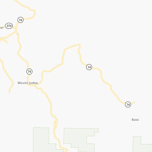
Location Taylor's Air Strip (Arkansas) :
| Country flag |  |
| Location | Taylor's Air Strip |
| State | Arkansas |
| County | Newton County |
| Country | United States |
| Country code / ISO 2 | US |
| Latitude | 35.8985500 |
| Longitude | -93.2582700 |
| Altitude | 659 meters |
| Time zone | America/Chicago |
Location San Diego (California) :
| Country flag | |
| Location | San Diego |
| State | California |
| County | San Diego County |
| Country | United States |
| Country code / ISO 2 | US |
| Latitude | 32.7157100 |
| Longitude | -117.1647200 |
| Altitude | 20 meters |
| Time zone | America/Los_Angeles |


