


How to get from Metzel Creek (airport) (Montana) to Lander (Wyoming)
Calculate route from Metzel Creek (airport) (Montana, United States) to Lander (Wyoming, United States).
The flight distance (as the crow flies) between Metzel Creek (airport) and Lander is 311.3 km.
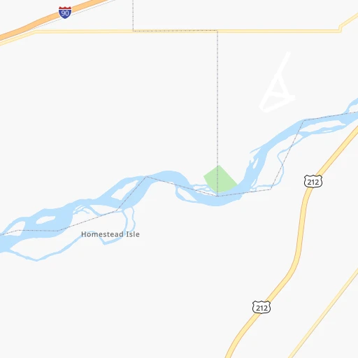
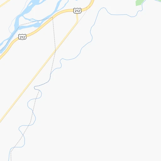
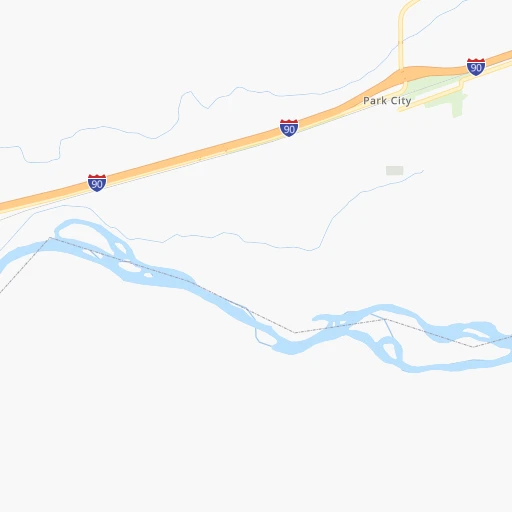
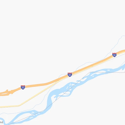
Roadmap (route) to go from Metzel Creek Airport to Lander detailed above, you can also see the course layout on the map.
While doing trip Metzel Creek (airport) - Lander by car, the calculated route ends at a distance , or more straight.
Distance and duration of the route between Metzel Creek (airport) and Lander
Calculation of distance and route from Lander to Metzel Creek (airport) :
311.3413.2 km5h55mn
Continue onto Applewood Drive 0h1mn 297 mTurn left onto Sportsman Park Road 0h1mn 406 mTurn right onto South Park City Road 0h3mn 2.3 kmTurn left onto Shay Road 0h6mn 5.3 kmTurn sharp right onto South 1st Avenue 0h3mn 3.8 kmTurn left onto Clarks River Road 0h8mn 13.6 kmTurn left onto US 212, US 310 0h1mn 2.1 kmTurn left onto US 310 0h18mn 27.2 kmContinue onto US 310 0h2mn 1.9 kmTurn right onto MT 72 1h5mn 93.8 kmKeep right onto Depot Drive 0h0mn 82 mTurn slight right onto 16th Street 0h1mn 776 mTurn left onto Beck Avenue 0h0mn 150 mTurn right onto 17th Street 0h3mn 3.3 kmTurn right onto WY 120 1h18mn 130.3 kmTurn right onto South 14th Street 0h2mn 1.4 kmTurn sharp right onto US 20, WY 789 1h44mn 50.5 kmTurn right onto West 2nd Street 1h60mn 75.2 kmKeep right onto East Main Street 0h1mn 637 mArrive at destination 0h0mn 0 m
Travel from Metzel Creek (airport) (Wyoming) to a selection of major cities.
Distances from Metzel Creek Airport to biggest cities in Montana
Other major cities in country :
- Charlotte [NC], 827,097 inhabitants. 2,622 km
- Seattle [WA], 684,451 inhabitants. 1,053 km
- Denver [CO], 682,545 inhabitants. 728 km
- El Paso [TX], 681,124 inhabitants. 1,558 km
- Detroit [MI], 677,116 inhabitants. 2,090 km
- Boston [MA], 667,137 inhabitants. 3,020 km
- Memphis [TN], 655,770 inhabitants. 1,967 km
- New South Memphis [TN], 641,608 inhabitants. 1,971 km
- Portland [OR], 632,309 inhabitants. 1,076 km
- Oklahoma City [OK], 631,346 inhabitants. 1,480 km
- Las Vegas [NV], 623,747 inhabitants. 1,177 km
- Baltimore [MD], 621,849 inhabitants. 2,720 km
- Washington, D.C. [DC], 601,723 inhabitants. 2,706 km
- Milwaukee [WI], 600,155 inhabitants. 1,687 km
- South Boston [MA], 571,281 inhabitants. 3,021 km
- Albuquerque [NM], 559,121 inhabitants. 1,189 km
- Tucson [AZ], 531,641 inhabitants. 1,504 km
- Nashville [TN], 530,852 inhabitants. 2,124 km
- Fresno [CA], 520,052 inhabitants. 1,345 km
- Sacramento [CA], 490,712 inhabitants. 1,304 km
Route from Lander to major cities (United States).
- Distance Lander New York City2,872 km
- Distance Lander Los Angeles1,280 km
- Distance Lander Chicago1,733 km
- Distance Lander Brooklyn2,879 km
- Distance Lander Houston1,881 km
- Distance Lander Queens2,887 km
- Distance Lander Philadelphia2,803 km
- Distance Lander Phoenix1,085 km
- Distance Lander Manhattan2,873 km
- Distance Lander San Antonio1,751 km
- Distance Lander San Diego1,347 km
- Distance Lander The Bronx2,879 km
- Distance Lander Dallas1,530 km
- Distance Lander San Jose1,275 km
- Distance Lander Austin1,706 km
- Distance Lander Jacksonville2,774 km
- Distance Lander San Francisco1,289 km
- Distance Lander Columbus2,164 km
- Distance Lander Fort Worth1,505 km
- Distance Lander Indianapolis1,912 km
Nearest cities to Metzel Creek (airport) :
- Billings, 110,263 inhabitants. 32 km
- Casper, 60,285 inhabitants. 368 km
- Great Falls, 59,638 inhabitants. 280 km
- Bozeman, 43,405 inhabitants. 171 km
- Rexburg, 27,663 inhabitants. 308 km
- Sheridan, 17,873 inhabitants. 175 km
- Riverton, 10,873 inhabitants. 293 km
- Jackson, 10,523 inhabitants. 284 km
- Havre, 9,834 inhabitants. 331 km
- Cody, 9,792 inhabitants. 124 km
- Belgrade, 8,029 inhabitants. 182 km
- Lander, 7,686 inhabitants. 312 km
- Livingston, 7,302 inhabitants. 133 km
- Laurel, 6,943 inhabitants. 7 km
- Lockwood, 6,797 inhabitants. 39 km
- Powell, 6,462 inhabitants. 98 km
- Lewistown, 5,874 inhabitants. 165 km
- Worland, 5,372 inhabitants. 193 km
- Buffalo, 4,632 inhabitants. 222 km
- Hardin, 3,800 inhabitants. 97 km
- Mills, 3,785 inhabitants. 369 km
- Saint Anthony, 3,542 inhabitants. 291 km
- Malmstrom Air Force Base, 3,472 inhabitants. 275 km
- Glasgow, 3,414 inhabitants. 331 km
- Four Corners, 3,146 inhabitants. 182 km
Location Metzel Creek (airport) (Montana) :
| Country flag |  |
| Location | Metzel Creek (airport) |
| State | Montana |
| County | Stillwater County |
| Country | United States |
| Country code / ISO 2 | US |
| Latitude | 45.6335400 |
| Longitude | -108.8476300 |
| Altitude | 1019 meters |
| Time zone | America/Denver |
Location Lander (Wyoming) :
| Country flag | |
| Location | Lander |
| State | Wyoming |
| County | Fremont County |
| Country | United States |
| Country code / ISO 2 | US |
| Latitude | 42.8330100 |
| Longitude | -108.7306700 |
| Altitude | 1632 meters |
| Time zone | America/Denver |