

How to get from Stantsiya Koysug (Rostov) to Armavir (Krasnodarskiy)
Calculate route from Stantsiya Koysug (Rostov, Russia) to Armavir (Krasnodarskiy, Russia).
The flight distance (as the crow flies) between Stantsiya Koysug and Armavir is 253.6 km.
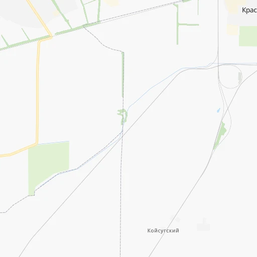
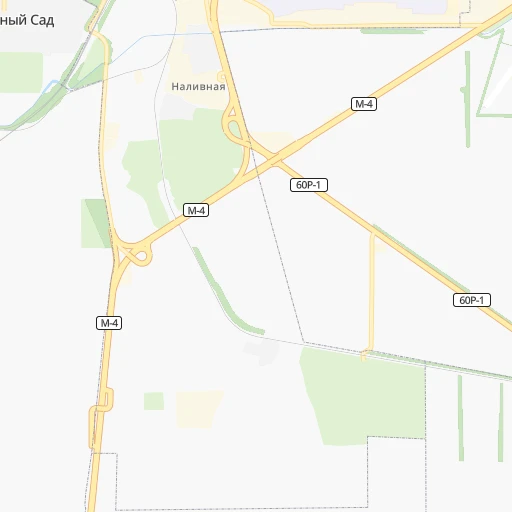
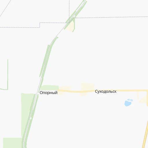
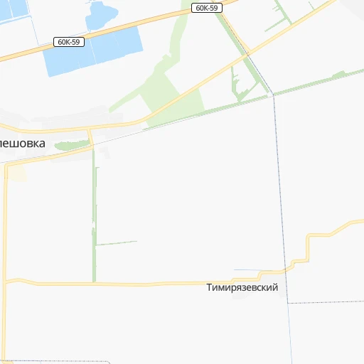
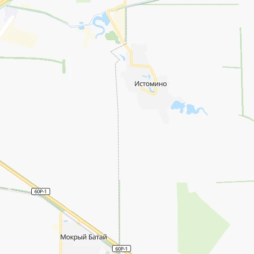
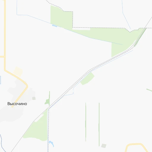
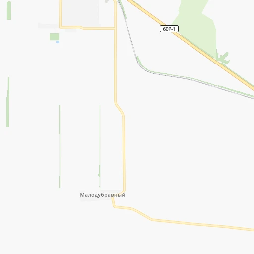
Roadmap (route) to go from Stantsiya Koysug to Armavir detailed above, you can also see the course layout on the map.
While doing trip Stantsiya Koysug - Armavir by car, the calculated route ends at a distance , or more straight.
Distance and duration of the route between Stantsiya Koysug and Armavir
Calculation of distance and route from Armavir to Stantsiya Koysug :
253.6276.9 km4h55mn
Continue 0h0mn 98 mTurn slight right 0h2mn 532 mTurn right 0h6mn 3.2 kmContinue and drive toward Южный рынок 0h0mn 72 mTurn right onto «Дон» 0h29mn 32.7 kmKeep left onto «Дон» 1h4mn 73.8 kmKeep left onto «Кавказ» and drive toward Тихорецк, Кропоткин 1h12mn 90.5 kmKeep left onto «Кавказ» 0h9mn 9.0 kmAt roundabout, take exit 3 onto «Кавказ» 1h42mn 57.5 kmTurn left 0h3mn 2.9 kmTurn left 0h0mn 41 mTurn right onto улица Каспарова 0h0mn 377 mTurn left onto Новороссийская улица 0h3mn 2.9 kmTurn right onto улица Кропоткина 0h2mn 2.6 kmTurn left onto улица Кирова 0h1mn 571 mTurn right onto улица Луначарского 0h0mn 89 mArrive at destination 0h0mn 0 m
Travel from Stantsiya Koysug (Krasnodarskiy) to a selection of major cities.
Distances from Stantsiya Koysug to biggest cities in Rostov
Other major cities in country :
- Barnaul [04], 599,579 inhabitants. 3,164 km
- Vladivostok [59], 587,022 inhabitants. 6,817 km
- Irkutsk [20], 586,695 inhabitants. 4,534 km
- Khabarovsk [30], 579,000 inhabitants. 6,638 km
- Khabarovsk Vtoroy [30], 578,303 inhabitants. 6,644 km
- Orenburg [55], 550,204 inhabitants. 1,230 km
- Novokuznetsk [29], 539,616 inhabitants. 3,379 km
- Ryazan' [62], 520,173 inhabitants. 844 km
- Tyumen [78], 519,119 inhabitants. 2,075 km
- Lipetsk [43], 515,655 inhabitants. 619 km
- Penza [57], 512,602 inhabitants. 783 km
- Naberezhnyye Chelny [73], 509,870 inhabitants. 1,305 km
- Kalininskiy [42], 504,641 inhabitants. 1,564 km
- Astrakhan [07], 502,533 inhabitants. 642 km
- Makhachkala [17], 497,959 inhabitants. 763 km
- Tomsk [75], 485,519 inhabitants. 3,224 km
- Kemerovo [29], 477,090 inhabitants. 3,297 km
- Tula [76], 468,825 inhabitants. 809 km
- Kirov [33], 457,383 inhabitants. 1,447 km
- Cheboksary [16], 446,781 inhabitants. 1,137 km
Route from Armavir to major cities (Russia).
- Distance Armavir Moscow1,223 km
- Distance Armavir Saint Petersburg1,813 km
- Distance Armavir Novosibirsk3,137 km
- Distance Armavir Yekaterinburg1,888 km
- Distance Armavir Nizhniy Novgorod1,278 km
- Distance Armavir Samara1,124 km
- Distance Armavir Omsk2,532 km
- Distance Armavir Kazan1,327 km
- Distance Armavir Rostov-na-Donu272 km
- Distance Armavir Chelyabinsk1,828 km
- Distance Armavir Ufa1,515 km
- Distance Armavir Volgograd488 km
- Distance Armavir Perm1,780 km
- Distance Armavir Krasnoyarsk3,762 km
- Distance Armavir Saratov814 km
- Distance Armavir Voronezh758 km
- Distance Armavir Tol'yatti1,121 km
- Distance Armavir Ulyanovsk1,162 km
- Distance Armavir Izhevsk1,564 km
- Distance Armavir Yaroslavl1,410 km
Nearest cities to Stantsiya Koysug :
- Rostov-na-Donu, 1,074,482 inhabitants. 21 km
- Krasnodar, 649,851 inhabitants. 229 km
- Stavropol', 363,064 inhabitants. 284 km
- Taganrog, 279,056 inhabitants. 64 km
- Novorossiysk, 241,856 inhabitants. 298 km
- Shakhty, 221,312 inhabitants. 84 km
- Armavir, 199,548 inhabitants. 254 km
- Volgodonsk, 167,731 inhabitants. 193 km
- Novocherkassk, 166,974 inhabitants. 52 km
- Maykop, 144,055 inhabitants. 273 km
- Nevinnomyssk, 134,345 inhabitants. 320 km
- Cherkessk, 116,224 inhabitants. 364 km
- Bataysk, 109,962 inhabitants. 11 km
- Novoshakhtinsk, 99,478 inhabitants. 82 km
- Yeysk, 87,814 inhabitants. 115 km
- Azov, 82,133 inhabitants. 22 km
- Kropotkin, 79,599 inhabitants. 191 km
- Kamensk-Shakhtinskiy, 75,814 inhabitants. 148 km
- Gukovo, 66,079 inhabitants. 115 km
- Slavyansk-na-Kubani, 65,196 inhabitants. 233 km
- Tikhoretsk, 64,387 inhabitants. 136 km
- Tuapse, 64,234 inhabitants. 331 km
- Labinsk, 61,945 inhabitants. 280 km
- Sal'sk, 61,000 inhabitants. 154 km
- Mikhaylovsk, 59,198 inhabitants. 279 km
- Krymsk, 57,555 inhabitants. 270 km
- Belorechensk, 54,526 inhabitants. 253 km
- Timashevsk, 53,940 inhabitants. 169 km
- Anapa, 53,600 inhabitants. 302 km
- Donetsk, 50,850 inhabitants. 146 km
- Gelendzhik, 50,715 inhabitants. 303 km
- Kurganinsk, 47,681 inhabitants. 251 km
- Belaya Kalitva, 47,521 inhabitants. 151 km
- Kanevskaya, 45,334 inhabitants. 121 km
- Krasnyy Sulin, 44,133 inhabitants. 99 km
- Ust'-Labinsk, 44,088 inhabitants. 204 km
- Pashkovskiy, 43,634 inhabitants. 230 km
- Korenovsk, 41,665 inhabitants. 176 km
- Apsheronsk, 40,451 inhabitants. 287 km
- Izobil'nyy, 39,022 inhabitants. 242 km
- Aksay, 38,871 inhabitants. 27 km
- Leningradskaya, 38,712 inhabitants. 84 km
- Millerovo, 38,527 inhabitants. 216 km
- Temryuk, 36,546 inhabitants. 266 km
- Novokubansk, 36,401 inhabitants. 238 km
- Gul'kevichi, 34,953 inhabitants. 203 km
- Abinsk, 34,668 inhabitants. 270 km
- Dinskaya, 34,573 inhabitants. 207 km
- Ust'-Dzheguta, 34,001 inhabitants. 374 km
- Primorsko-Akhtarsk, 33,102 inhabitants. 161 km
Location Stantsiya Koysug (Rostov) :
| Country flag |  |
| Location | Stantsiya Koysug |
| State | Rostov |
| County | |
| Country | Russia |
| Country code / ISO 2 | RU |
| Latitude | 47.0443300 |
| Longitude | 39.6955100 |
| Altitude | 0 meters |
| Time zone | Europe/Moscow |
Location Armavir (Krasnodarskiy) :
| Country flag | |
| Location | Armavir |
| State | Krasnodarskiy |
| County | |
| Country | Russia |
| Country code / ISO 2 | RU |
| Latitude | 44.9892000 |
| Longitude | 41.1234000 |
| Altitude | 0 meters |
| Time zone | Europe/Moscow |


