
How to get from Ravshan Raz‘ezd (Karakalpakstan) to Hazorasp (Xorazm)
Calculate route from Ravshan Raz‘ezd (Karakalpakstan, Uzbekistan) to Hazorasp (Xorazm, Uzbekistan).
The flight distance (as the crow flies) between Ravshan Raz‘ezd and Hazorasp is 282.2 km.
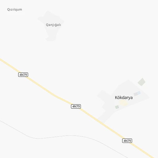
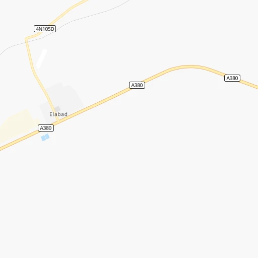
Roadmap (route) to go from Ravshan Raz‘ezd to Hazorasp detailed above, you can also see the course layout on the map.
While doing trip Ravshan Raz‘ezd - Hazorasp by car, the calculated route ends at a distance , or more straight.
Distance and duration of the route between Ravshan Raz‘ezd and Hazorasp
Calculation of distance and route from Hazorasp to Ravshan Raz‘ezd :
282.2323.5 km5h57mn
Continue onto A380 1h26mn 99.9 kmContinue onto 4R-171D 0h6mn 6.8 kmAt roundabout, take exit 3 onto 4R-174 0h12mn 11.3 kmTurn right onto Qaraqalpaqstan kóshesi 0h3mn 2.4 kmKeep right 0h10mn 10.1 kmKeep left 0h0mn 83 mTurn slight right onto A380 0h6mn 7.5 kmKeep right onto A380 0h8mn 8.8 kmKeep right onto A380 0h0mn 291 mKeep right onto A380 0h23mn 26.8 kmTurn right onto 4R-181 0h3mn 3.4 kmKeep right onto 4R-181 0h12mn 11.5 kmTurn left onto Manǵıt úlken aylanba jolı 0h6mn 6.1 kmTurn left onto 4R-160 0h12mn 12.7 kmAt roundabout, take exit 1 onto 4R-160 1h58mn 64.2 kmTurn right onto Al-Xorazmiy ko’chasi 0h2mn 2.0 kmTurn left onto Xonqa ko'chasi 0h12mn 13.4 kmKeep right onto 4P156 0h2mn 1.8 kmAt roundabout, take exit 2 onto 4P156 0h8mn 9.3 kmTurn left 0h19mn 16.2 kmTurn slight left onto 4P156 0h5mn 6.0 kmKeep right 0h3mn 2.5 kmTurn right 0h0mn 133 mTurn left 0h0mn 136 mArrive at destination 0h0mn 0 m
Travel from Ravshan Raz‘ezd (Xorazm) to a selection of major cities.
Distances from Ravshan Raz‘ezd to biggest cities in Karakalpakstan
Other major cities in country :
Route from Hazorasp to major cities (Uzbekistan).
- Distance Hazorasp Tashkent681 km
- Distance Hazorasp Namangan888 km
- Distance Hazorasp Samarqand532 km
- Distance Hazorasp Andijon947 km
- Distance Hazorasp Bukhara332 km
- Distance Hazorasp Nukus175 km
- Distance Hazorasp Qarshi486 km
- Distance Hazorasp Qo`qon834 km
- Distance Hazorasp Chirchiq710 km
- Distance Hazorasp Fergana907 km
- Distance Hazorasp Jizzax586 km
- Distance Hazorasp Tirmiz702 km
- Distance Hazorasp Marg`ilon901 km
- Distance Hazorasp Navoiy388 km
- Distance Hazorasp Angren760 km
- Distance Hazorasp Olmaliq717 km
- Distance Hazorasp Bekobod701 km
- Distance Hazorasp Denov675 km
- Distance Hazorasp Chust852 km
- Distance Hazorasp Kogon344 km
Nearest cities to Ravshan Raz‘ezd :
- Nukus, 230,006 inhabitants. 108 km
- Urganch, 150,110 inhabitants. 239 km
- Oltinko`l, 59,122 inhabitants. 24 km
- Khiwa, 55,567 inhabitants. 239 km
- Beruniy, 50,929 inhabitants. 235 km
- Khujayli, 50,000 inhabitants. 103 km
- Novyy Turtkul', 48,908 inhabitants. 262 km
- Manghit, 30,854 inhabitants. 161 km
- Gurlan, 27,506 inhabitants. 201 km
- Showot, 26,950 inhabitants. 212 km
- Hazorasp, 17,643 inhabitants. 283 km
- Qushkupir, 16,948 inhabitants. 224 km
- Kegeyli Shahar, 14,147 inhabitants. 88 km
- Muynoq, 13,000 inhabitants. 82 km
Location Ravshan Raz‘ezd (Karakalpakstan) :
| Country flag |  |
| Location | Ravshan Raz‘ezd |
| State | Karakalpakstan |
| County | |
| Country | Uzbekistan |
| Country code / ISO 2 | UZ |
| Latitude | 43.0904700 |
| Longitude | 58.6158700 |
| Altitude | 0 meters |
| Time zone | Asia/Samarkand |
Location Hazorasp (Xorazm) :
| Country flag | |
| Location | Hazorasp |
| State | Xorazm |
| County | |
| Country | Uzbekistan |
| Country code / ISO 2 | UZ |
| Latitude | 41.3194400 |
| Longitude | 61.0741700 |
| Altitude | 0 meters |
| Time zone | Asia/Samarkand |