
How to get from Tanda Tula (airport) (Mpumalanga) to Thohoyandou (Limpopo)
Calculate route from Tanda Tula (airport) (Mpumalanga, South Africa) to Thohoyandou (Limpopo, South Africa).
The flight distance (as the crow flies) between Tanda Tula (airport) and Thohoyandou is 195.0 km.
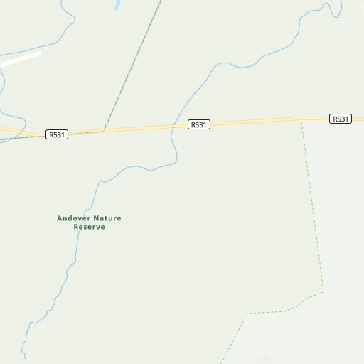
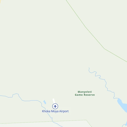
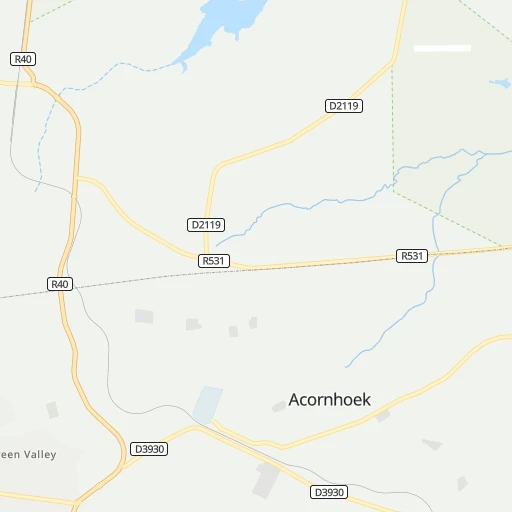
Roadmap (route) to go from Tanda Tula Airport to Thohoyandou detailed above, you can also see the course layout on the map.
While doing trip Tanda Tula (airport) - Thohoyandou by car, the calculated route ends at a distance , or more straight.
Distance and duration of the route between Tanda Tula (airport) and Thohoyandou
Calculation of distance and route from Thohoyandou to Tanda Tula (airport) :
195.0289.2 km5h7mn
Continue 1h48mn 10.6 kmKeep right 0h4mn 704 mTurn sharp left onto R531 0h0mn 131 mTurn sharp right onto R531 1h41mn 41.5 kmTurn right onto R40, R531 0h2mn 2.0 kmTurn right onto R40 1h41mn 55.2 kmKeep left 0h0mn 113 mTurn slight left onto R526 1h41mn 41.3 kmTurn right onto D202 1h30mn 15.1 kmTurn sharp right 0h8mn 14.2 kmTurn left onto D1597 0h1mn 1.2 kmTurn right onto R529 0h29mn 44.1 kmTurn right onto R81 1h38mn 38.2 kmTurn left onto D4 0h3mn 4.2 kmTurn right onto D3756 0h8mn 12.0 kmTurn left onto R524 0h5mn 4.9 kmTurn right 0h1mn 453 mTurn left 0h0mn 133 mTurn right 0h0mn 52 mTurn left 0h1mn 366 mTurn right 0h3mn 1.5 kmTurn right 0h0mn 216 mTurn left 0h1mn 366 mTurn slight right 0h0mn 151 mTurn left onto Khoroni street 0h1mn 256 mArrive at destination 0h0mn 0 m
Travel from Tanda Tula (airport) (Limpopo) to a selection of major cities.
Distances from Tanda Tula Airport to biggest cities in Mpumalanga
Other major cities in country :
- Richards Bay [02], 252,968 inhabitants. 479 km
- Vanderbijlpark [06], 246,754 inhabitants. 424 km
- Centurion [06], 233,386 inhabitants. 347 km
- Uitenhage [05], 228,912 inhabitants. 1,176 km
- Roodepoort [06], 225,000 inhabitants. 390 km
- Paarl [11], 190,000 inhabitants. 1,574 km
- Springs [06], 186,394 inhabitants. 349 km
- Carletonville [06], 182,304 inhabitants. 442 km
- Klerksdorp [10], 178,921 inhabitants. 532 km
- Midrand [06], 173,009 inhabitants. 358 km
- Westonaria [06], 156,831 inhabitants. 417 km
- Vryheid [02], 150,012 inhabitants. 364 km
- Orkney [10], 145,801 inhabitants. 538 km
- Kimberley [08], 142,089 inhabitants. 801 km
- Nigel [06], 140,644 inhabitants. 354 km
- Mpumalanga [02], 140,121 inhabitants. 591 km
- Bhisho [05], 137,287 inhabitants. 999 km
- Randfontein [06], 133,654 inhabitants. 406 km
- Worcester [11], 127,597 inhabitants. 1,534 km
- Rustenburg [10], 124,064 inhabitants. 428 km
Route from Thohoyandou to major cities (South Africa).
- Distance Thohoyandou Cape Town1,697 km
- Distance Thohoyandou Durban771 km
- Distance Thohoyandou Johannesburg439 km
- Distance Thohoyandou Soweto455 km
- Distance Thohoyandou Pretoria389 km
- Distance Thohoyandou Port Elizabeth1,315 km
- Distance Thohoyandou Pietermaritzburg743 km
- Distance Thohoyandou Benoni422 km
- Distance Thohoyandou Tembisa409 km
- Distance Thohoyandou East London1,149 km
- Distance Thohoyandou Vereeniging489 km
- Distance Thohoyandou Bloemfontein809 km
- Distance Thohoyandou Boksburg428 km
- Distance Thohoyandou Welkom675 km
- Distance Thohoyandou Newcastle539 km
- Distance Thohoyandou Krugersdorp444 km
- Distance Thohoyandou Diepsloot416 km
- Distance Thohoyandou Randburg431 km
- Distance Thohoyandou Botshabelo798 km
- Distance Thohoyandou Brakpan424 km
Nearest cities to Tanda Tula (airport) :
- Benoni, 605,344 inhabitants. 352 km
- Brakpan, 305,692 inhabitants. 350 km
- Witbank, 262,491 inhabitants. 256 km
- Springs, 186,394 inhabitants. 349 km
- Middelburg, 154,706 inhabitants. 231 km
- eMbalenhle, 141,741 inhabitants. 316 km
- Nigel, 140,644 inhabitants. 354 km
- Polokwane, 123,749 inhabitants. 199 km
- Nelspruit, 110,159 inhabitants. 110 km
- Phalaborwa, 109,468 inhabitants. 68 km
- Bethal, 101,919 inhabitants. 283 km
- Mokopane, 101,090 inhabitants. 235 km
- Delmas, 92,046 inhabitants. 319 km
- Louis Trichardt, 86,854 inhabitants. 219 km
- Piet Retief, 84,349 inhabitants. 280 km
- Standerton, 74,021 inhabitants. 338 km
- Barberton, 67,927 inhabitants. 142 km
- Heidelberg, 64,199 inhabitants. 368 km
- Balfour, 46,008 inhabitants. 361 km
- Thohoyandou, 44,046 inhabitants. 195 km
- Volksrust, 43,378 inhabitants. 346 km
- Ermelo, 41,124 inhabitants. 259 km
- Ekangala, 37,650 inhabitants. 288 km
- Giyani, 37,024 inhabitants. 149 km
- Lebowakgomo, 33,308 inhabitants. 186 km
- Nkowakowa, 30,138 inhabitants. 125 km
- Driefontein, 28,127 inhabitants. 289 km
- Bronkhorstspruit, 27,343 inhabitants. 294 km
- Siyabuswa, 26,236 inhabitants. 237 km
- Cullinan, 25,490 inhabitants. 307 km
- Duiwelskloof, 24,572 inhabitants. 150 km
- Lydenburg, 21,695 inhabitants. 107 km
- Modimolle, 20,527 inhabitants. 294 km
- Komatipoort, 20,508 inhabitants. 120 km
- Secunda, 20,418 inhabitants. 310 km
- Tzaneen, 16,954 inhabitants. 139 km
- White River, 15,954 inhabitants. 93 km
- Hendrina, 15,871 inhabitants. 241 km
- Kriel, 15,055 inhabitants. 285 km
- Vrede, 14,622 inhabitants. 386 km
- Ga-Kgapane, 13,000 inhabitants. 148 km
- Breyten, 12,550 inhabitants. 237 km
- Mankoeng, 12,499 inhabitants. 166 km
- Belfast, 11,916 inhabitants. 181 km
- Thulamahashi, 11,655 inhabitants. 24 km
- Villiers, 11,240 inhabitants. 388 km
- Graskop, 3,996 inhabitants. 64 km
Location Tanda Tula (airport) (Mpumalanga) :
| Country flag |  |
| Location | Tanda Tula (airport) |
| State | Mpumalanga |
| County | Ehlanzeni District |
| Country | South Africa |
| Country code / ISO 2 | ZA |
| Latitude | -24.5336000 |
| Longitude | 31.3000000 |
| Altitude | 0 meters |
| Time zone | Africa/Johannesburg |
Location Thohoyandou (Limpopo) :
| Country flag | |
| Location | Thohoyandou |
| State | Limpopo |
| County | Vhembe District Municipality |
| Country | South Africa |
| Country code / ISO 2 | ZA |
| Latitude | -22.9456400 |
| Longitude | 30.4849700 |
| Altitude | 0 meters |
| Time zone | Africa/Johannesburg |


