

How to get from Ngala (airport) (Mpumalanga) to Piet Retief (Mpumalanga)
Calculate route from Ngala (airport) (Mpumalanga, South Africa) to Piet Retief (Mpumalanga, South Africa).
The flight distance (as the crow flies) between Ngala (airport) and Piet Retief is 295.5 km.
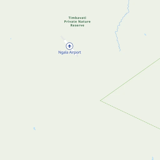
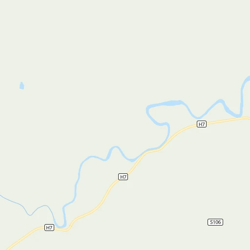
Roadmap (route) to go from Ngala Airport to Piet Retief detailed above, you can also see the course layout on the map.
While doing trip Ngala (airport) - Piet Retief by car, the calculated route ends at a distance , or more straight.
Distance and duration of the route between Ngala (airport) and Piet Retief
Calculation of distance and route from Piet Retief to Ngala (airport) :
295.5425.3 km7h21mn
Continue 0h2mn 446 mTurn left 0h0mn 8 mTurn right 0h2mn 374 mTurn left 0h16mn 8.1 kmTurn sharp left onto Avoca Road 0h0mn 7 mTurn right 0h12mn 5.9 kmKeep left 0h5mn 2.7 kmKeep left 0h4mn 2.1 kmTurn left onto Guernsey Road 1h50mn 25.2 kmTurn sharp right onto R531 0h0mn 25 mTurn left 0h2mn 858 mContinue onto RDP 0h0mn 203 mKeep right 0h1mn 283 mKeep right 0h0mn 135 mKeep right 0h0mn 233 mKeep right 0h1mn 496 mTurn right 0h0mn 52 mTurn left 0h0mn 106 mTurn right 0h1mn 530 mKeep left 0h0mn 150 mTurn right 0h0mn 190 mTurn right onto D3930 0h2mn 1.4 kmTurn left onto R40 0h0mn 494 mAt roundabout, take exit 2 onto R40 0h0mn 482 mAt roundabout, take exit 2 onto R40 0h0mn 420 mAt roundabout, take exit 2 onto R40 0h30mn 32.7 kmAt roundabout, take exit 2 onto R40 0h0mn 435 mAt roundabout, take exit 1 onto R40 0h1mn 754 mAt roundabout, take exit 1 onto R40 0h28mn 30.8 kmContinue onto R538 0h13mn 11.3 kmAt roundabout, take exit 2 onto R538 0h4mn 3.0 kmAt roundabout, take exit 2 onto R538 0h18mn 18.3 kmAt roundabout, take exit 2 onto R40, R538 0h2mn 2.4 kmTurn right onto Tom Lawrence Street 0h1mn 1.2 kmTurn left onto Danie Joubert Street 0h0mn 267 mTurn right onto Chief Mgiyeni Khumalo Drive 1h48mn 54.1 kmTurn sharp right onto R38 1h56mn 62.6 kmTurn left onto Barnard Street 0h0mn 24 mTurn right onto Barnard Street 0h0mn 233 mTurn left 1h31mn 36.1 kmTurn left onto R33 0h8mn 8.5 kmTurn left onto N17 0h9mn 10.2 kmTurn right onto R33 1h33mn 36.4 kmTurn left onto R33 1h48mn 52.3 kmTurn left onto N2 0h7mn 9.5 kmAt roundabout, take exit 2 onto N2 0h2mn 2.3 kmTurn left onto Brand Street 0h1mn 1.0 kmTurn left 0h0mn 108 mArrive at destination 0h0mn 0 m
Travel from Ngala (airport) (Mpumalanga) to a selection of major cities.
Distances from Ngala Airport to biggest cities in Mpumalanga
Other major cities in country :
- Richards Bay [02], 252,968 inhabitants. 494 km
- Vanderbijlpark [06], 246,754 inhabitants. 435 km
- Centurion [06], 233,386 inhabitants. 356 km
- Uitenhage [05], 228,912 inhabitants. 1,191 km
- Roodepoort [06], 225,000 inhabitants. 400 km
- Paarl [11], 190,000 inhabitants. 1,587 km
- Springs [06], 186,394 inhabitants. 360 km
- Carletonville [06], 182,304 inhabitants. 452 km
- Klerksdorp [10], 178,921 inhabitants. 542 km
- Midrand [06], 173,009 inhabitants. 368 km
- Westonaria [06], 156,831 inhabitants. 428 km
- Vryheid [02], 150,012 inhabitants. 380 km
- Orkney [10], 145,801 inhabitants. 549 km
- Kimberley [08], 142,089 inhabitants. 813 km
- Nigel [06], 140,644 inhabitants. 366 km
- Mpumalanga [02], 140,121 inhabitants. 608 km
- Bhisho [05], 137,287 inhabitants. 1,015 km
- Randfontein [06], 133,654 inhabitants. 416 km
- Worcester [11], 127,597 inhabitants. 1,547 km
- Rustenburg [10], 124,064 inhabitants. 436 km
Route from Piet Retief to major cities (South Africa).
- Distance Piet Retief Cape Town1,415 km
- Distance Piet Retief Durban318 km
- Distance Piet Retief Johannesburg290 km
- Distance Piet Retief Soweto305 km
- Distance Piet Retief Pretoria297 km
- Distance Piet Retief Port Elizabeth920 km
- Distance Piet Retief Pietermaritzburg293 km
- Distance Piet Retief Benoni264 km
- Distance Piet Retief Tembisa281 km
- Distance Piet Retief East London725 km
- Distance Piet Retief Vereeniging289 km
- Distance Piet Retief Bloemfontein509 km
- Distance Piet Retief Boksburg269 km
- Distance Piet Retief Welkom417 km
- Distance Piet Retief Newcastle121 km
- Distance Piet Retief Krugersdorp319 km
- Distance Piet Retief Diepsloot304 km
- Distance Piet Retief Randburg298 km
- Distance Piet Retief Botshabelo474 km
- Distance Piet Retief Brakpan258 km
Nearest cities to Ngala (airport) :
- Brakpan, 305,692 inhabitants. 362 km
- Witbank, 262,491 inhabitants. 268 km
- Springs, 186,394 inhabitants. 360 km
- Middelburg, 154,706 inhabitants. 243 km
- eMbalenhle, 141,741 inhabitants. 329 km
- Nigel, 140,644 inhabitants. 366 km
- Polokwane, 123,749 inhabitants. 196 km
- Nelspruit, 110,159 inhabitants. 126 km
- Phalaborwa, 109,468 inhabitants. 53 km
- Bethal, 101,919 inhabitants. 297 km
- Mokopane, 101,090 inhabitants. 236 km
- Delmas, 92,046 inhabitants. 330 km
- Louis Trichardt, 86,854 inhabitants. 208 km
- Piet Retief, 84,349 inhabitants. 296 km
- Standerton, 74,021 inhabitants. 352 km
- Barberton, 67,927 inhabitants. 158 km
- Heidelberg, 64,199 inhabitants. 380 km
- Balfour, 46,008 inhabitants. 374 km
- Thohoyandou, 44,046 inhabitants. 182 km
- Volksrust, 43,378 inhabitants. 362 km
- Ermelo, 41,124 inhabitants. 274 km
- Ekangala, 37,650 inhabitants. 298 km
- Giyani, 37,024 inhabitants. 136 km
- Lebowakgomo, 33,308 inhabitants. 186 km
- Nkowakowa, 30,138 inhabitants. 119 km
- Driefontein, 28,127 inhabitants. 306 km
- Bronkhorstspruit, 27,343 inhabitants. 305 km
- Siyabuswa, 26,236 inhabitants. 244 km
- Cullinan, 25,490 inhabitants. 317 km
- Duiwelskloof, 24,572 inhabitants. 143 km
- Lydenburg, 21,695 inhabitants. 119 km
- Modimolle, 20,527 inhabitants. 298 km
- Komatipoort, 20,508 inhabitants. 133 km
- Secunda, 20,418 inhabitants. 324 km
- Tzaneen, 16,954 inhabitants. 133 km
- White River, 15,954 inhabitants. 110 km
- Hendrina, 15,871 inhabitants. 255 km
- Kriel, 15,055 inhabitants. 298 km
- Ga-Kgapane, 13,000 inhabitants. 139 km
- Breyten, 12,550 inhabitants. 252 km
- Mankoeng, 12,499 inhabitants. 163 km
- Belfast, 11,916 inhabitants. 195 km
- Thulamahashi, 11,655 inhabitants. 40 km
- Villiers, 11,240 inhabitants. 401 km
- Graskop, 3,996 inhabitants. 78 km
Location Ngala (airport) (Mpumalanga) :
| Country flag |  |
| Location | Ngala (airport) |
| State | Mpumalanga |
| County | Ehlanzeni District |
| Country | South Africa |
| Country code / ISO 2 | ZA |
| Latitude | -24.3880700 |
| Longitude | 31.3252800 |
| Altitude | 0 meters |
| Time zone | Africa/Johannesburg |
Location Piet Retief (Mpumalanga) :
| Country flag | |
| Location | Piet Retief |
| State | Mpumalanga |
| County | Gert Sibande District Municipality |
| Country | South Africa |
| Country code / ISO 2 | ZA |
| Latitude | -27.0070600 |
| Longitude | 30.8132300 |
| Altitude | 0 meters |
| Time zone | Africa/Johannesburg |
