
How to get from Horyniec-Zdrój (Subcarpathian Voivodeship) to Ropczyce (Subcarpathian Voivodeship)
Calculate route from Horyniec-Zdrój (Subcarpathian Voivodeship, Poland) to Ropczyce (Subcarpathian Voivodeship, Poland).
The flight distance (as the crow flies) between Horyniec-Zdrój and Ropczyce is 125.5 km.
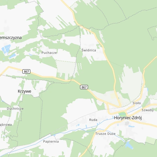
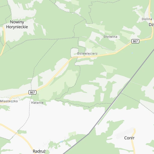
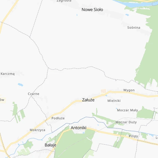
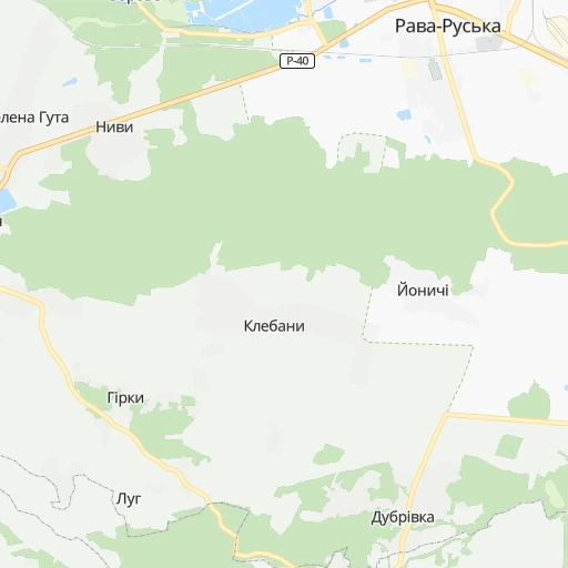
Roadmap (route) to go from Horyniec-Zdrój to Ropczyce detailed above, you can also see the course layout on the map.
While doing trip Horyniec-Zdrój - Ropczyce by car, the calculated route ends at a distance , or more straight.
Distance and duration of the route between Horyniec-Zdrój and Ropczyce
Calculation of distance and route from Ropczyce to Horyniec-Zdrój :
125.5148.5 km2h53mn
Continue 0h0mn 119 mTurn right onto Adama Mickiewicza 0h21mn 21.2 kmAt roundabout, take exit 1 onto Pułkownika Stanisława Dąbka 0h4mn 4.3 kmAt roundabout, take exit 2 0h1mn 909 mTurn left onto Józefa Sapiehy 0h2mn 1.7 kmTurn left onto Wiejska 0h1mn 275 mTurn left onto Jarosławska and drive toward Jarosław 0h27mn 28.3 kmAt roundabout, take exit 2 onto Rondo Anny Szczepanik 0h2mn 1.7 kmAt roundabout, take exit 4 onto Rondo Arcybiskupa Ignacego Tokarczuka 0h1mn 509 mTurn slight right onto 77, 94 0h7mn 9.5 kmKeep right onto A4 and take A4 toward Rzeszów 0h1mn 727 mKeep right onto A4 and drive toward Rzeszów 1h33mn 70.0 kmKeep right onto A4 and take 94 toward Ropczyce, Sędziszów Małopolski 0h1mn 938 mKeep right and drive toward Ropczyce, Sędziszów Małopolski 0h1mn 1.5 kmTurn right onto Króla Kazimierza Jagiellończyka 0h0mn 15 mTurn right onto Lazurowa 0h1mn 260 mTurn left onto Błękitna 0h1mn 271 mTurn sharp right onto Szkolna 0h0mn 113 mTurn left onto Zachodnia 0h0mn 54 mTurn left onto Rolnicza 0h5mn 2.5 kmContinue onto Księdza kardynała Stefana Wyszyńskiego 0h3mn 2.7 kmAt roundabout, take exit 2 onto Księdza kardynała Stefana Wyszyńskiego 0h1mn 680 mTurn left onto Księdza doktora Jana Zwierza 0h0mn 177 mTurn right onto Grunwaldzka 0h0mn 167 mArrive at destination 0h0mn 0 m
Travel from Horyniec-Zdrój (Subcarpathian Voivodeship) to a selection of major cities.
Distances from Horyniec-Zdrój to biggest cities in Subcarpathian Voivodeship
Other major cities in country :
- Bytom [83], 189,186 inhabitants. 315 km
- Praga Poludnie [78], 187,845 inhabitants. 278 km
- Bielsko-Biala [83], 176,515 inhabitants. 311 km
- Olsztyn [85], 171,803 inhabitants. 445 km
- Ursynow [78], 147,676 inhabitants. 271 km
- Ruda Slaska [83], 146,189 inhabitants. 321 km
- Wola [78], 143,996 inhabitants. 281 km
- Rybnik [83], 142,510 inhabitants. 344 km
- Bielany [78], 134,854 inhabitants. 288 km
- Srodmiescie [78], 134,306 inhabitants. 279 km
- Dabrowa Gornicza [83], 130,601 inhabitants. 293 km
- Tychy [83], 130,000 inhabitants. 313 km
- Opole [79], 127,676 inhabitants. 389 km
- Elblag [85], 127,558 inhabitants. 516 km
- Plock [78], 127,474 inhabitants. 365 km
- Walbrzych [72], 127,431 inhabitants. 505 km
- Gorzow Wielkopolski [76], 124,430 inhabitants. 630 km
- Targowek [78], 124,316 inhabitants. 284 km
- Wloclawek [73], 120,339 inhabitants. 404 km
- Zielona Gora [76], 118,433 inhabitants. 582 km
Route from Ropczyce to major cities (Poland).
- Distance Ropczyce Warsaw246 km
- Distance Ropczyce Lodz243 km
- Distance Ropczyce Krakow120 km
- Distance Ropczyce Wroclaw344 km
- Distance Ropczyce Poznan418 km
- Distance Ropczyce Gdansk519 km
- Distance Ropczyce Szczecin614 km
- Distance Ropczyce Bydgoszcz423 km
- Distance Ropczyce Lublin149 km
- Distance Ropczyce Katowice186 km
- Distance Ropczyce Bialystok359 km
- Distance Ropczyce Gdynia539 km
- Distance Ropczyce Czestochowa195 km
- Distance Ropczyce Sosnowiec181 km
- Distance Ropczyce Radom154 km
- Distance Ropczyce Mokotow242 km
- Distance Ropczyce Torun390 km
- Distance Ropczyce Kielce115 km
- Distance Ropczyce Gliwice211 km
- Distance Ropczyce Zabrze203 km
Nearest cities to Horyniec-Zdrój :
- Warsaw, 1,702,139 inhabitants. 279 km
- Lublin, 360,044 inhabitants. 130 km
- Bialystok, 291,855 inhabitants. 327 km
- Radom, 226,794 inhabitants. 206 km
- Mokotow, 212,670 inhabitants. 275 km
- Kielce, 208,598 inhabitants. 207 km
- Praga Poludnie, 187,845 inhabitants. 278 km
- Rzeszow, 158,382 inhabitants. 98 km
- Ursynow, 147,676 inhabitants. 271 km
- Wola, 143,996 inhabitants. 281 km
- Bielany, 134,854 inhabitants. 288 km
- Srodmiescie, 134,306 inhabitants. 279 km
- Targowek, 124,316 inhabitants. 284 km
- Tarnow, 117,799 inhabitants. 170 km
- Bemowo, 102,393 inhabitants. 286 km
- Praga Polnoc, 93,192 inhabitants. 281 km
- Ochota, 93,192 inhabitants. 280 km
- Bialoleka, 89,324 inhabitants. 289 km
- Nowy Sacz, 84,376 inhabitants. 201 km
- Siedlce, 77,185 inhabitants. 232 km
- Ostrowiec Swietokrzyski, 73,989 inhabitants. 162 km
- Chelm, 68,043 inhabitants. 106 km
- Przemysl, 67,013 inhabitants. 62 km
- Stalowa Wola, 66,495 inhabitants. 102 km
- Zamosc, 66,034 inhabitants. 59 km
- Lomza, 63,723 inhabitants. 344 km
- Wawer, 62,656 inhabitants. 270 km
- Mielec, 60,993 inhabitants. 138 km
- Biala Podlaska, 57,541 inhabitants. 205 km
- Pruszkow, 55,371 inhabitants. 283 km
- Ostroleka, 53,740 inhabitants. 345 km
- Starachowice, 53,739 inhabitants. 187 km
- Zoliborz, 50,934 inhabitants. 284 km
- Legionowo, 50,786 inhabitants. 298 km
- Tarnobrzeg, 50,459 inhabitants. 126 km
- Pulawy, 49,759 inhabitants. 167 km
- Skarzysko-Kamienna, 49,410 inhabitants. 203 km
- Krosno, 47,784 inhabitants. 127 km
- Debica, 47,366 inhabitants. 140 km
- Ursus, 47,285 inhabitants. 282 km
- Ciechanow, 46,438 inhabitants. 354 km
- Otwock, 43,388 inhabitants. 258 km
- Zyrardow, 41,179 inhabitants. 290 km
- Jaroslaw, 40,134 inhabitants. 52 km
- Swidnik, 40,050 inhabitants. 123 km
- Sanok, 39,684 inhabitants. 109 km
- Jaslo, 37,851 inhabitants. 144 km
- Minsk Mazowiecki, 37,027 inhabitants. 254 km
- Wolomin, 36,592 inhabitants. 281 km
- Piaseczno, 36,278 inhabitants. 266 km
Location Horyniec-Zdrój (Subcarpathian Voivodeship) :
| Country flag |  |
| Location | Horyniec-Zdrój |
| State | Subcarpathian Voivodeship |
| County | Powiat lubaczowski |
| Country | Poland |
| Country code / ISO 2 | PL |
| Latitude | 50.1942100 |
| Longitude | 23.3566900 |
| Altitude | 0 meters |
| Time zone | Europe/Warsaw |
Location Ropczyce (Subcarpathian Voivodeship) :
| Country flag | |
| Location | Ropczyce |
| State | Subcarpathian Voivodeship |
| County | Powiat ropczycko-sędziszowski |
| Country | Poland |
| Country code / ISO 2 | PL |
| Latitude | 50.0522900 |
| Longitude | 21.6089100 |
| Altitude | 0 meters |
| Time zone | Europe/Warsaw |

