


How to get from Mariupol International (airport) (Donetsk) to Sevastopol (Sevastopol City)
Calculate route from Mariupol International (airport) (Donetsk, Ukraine) to Sevastopol (Sevastopol City, Ukraine).
The flight distance (as the crow flies) between Mariupol International (airport) and Sevastopol is 410.8 km.
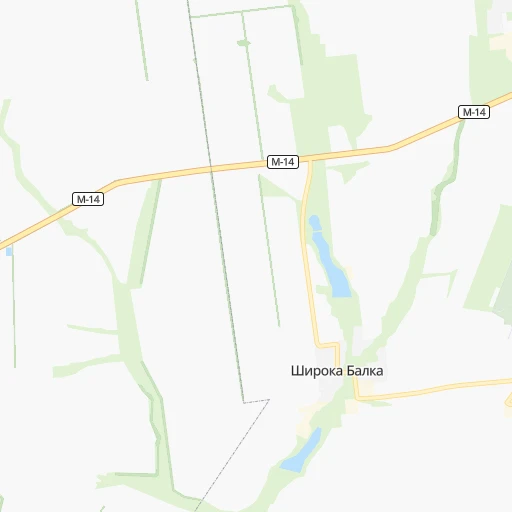
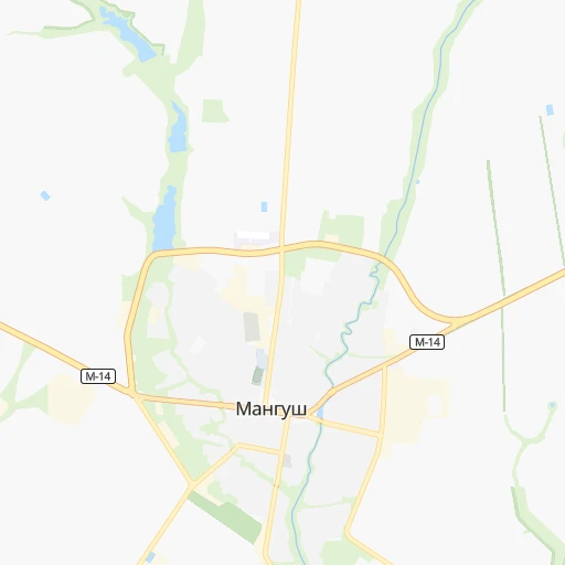
Roadmap (route) to go from Mariupol International Airport to Sevastopol detailed above, you can also see the course layout on the map.
While doing trip Mariupol International (airport) - Sevastopol by car, the calculated route ends at a distance , or more straight.
Distance and duration of the route between Mariupol International (airport) and Sevastopol
Calculation of distance and route from Sevastopol to Mariupol International (airport) :
410.8506.9 km7h2mn
Continue 0h1mn 368 mKeep right 0h0mn 61 mTurn slight right 0h3mn 1.3 kmTurn sharp left onto М-14 0h7mn 8.2 kmTurn left 0h0mn 79 mTurn slight right onto М-14 0h2mn 2.0 kmAt roundabout, take exit 2 onto Миру проспект 0h2mn 2.0 kmAt roundabout, take exit 3 onto М-14 0h0mn 141 mContinue onto М-14 1h54mn 62.8 kmAt roundabout, take exit 2 onto М-14 1h24mn 97.8 kmTurn left onto М-14-03 0h14mn 16.8 kmTurn left onto М-18 2h59mn 145.4 kmContinue onto 35А-002, М-18, 35А-001 1h8mn 82.7 kmKeep right 1h59mn 79.9 kmKeep right 0h0mn 88 mKeep left 0h1mn 769 mKeep right onto 67К-2 0h1mn 744 mKeep right 0h4mn 3.8 kmKeep right onto Генерала Острякова проспект 0h2mn 1.8 kmKeep left onto Чапаева улица 0h0mn 51 mArrive at destination 0h0mn 0 m
Travel from Mariupol International (airport) (Sevastopol City) to a selection of major cities.
Distances from Mariupol International Airport to biggest cities in Donetsk
- Debal'tseve,30,200 inhabitants.158 km
- Lyman,28,200 inhabitants.214 km
- Selydove,24,269 inhabitants.120 km
- Dokuchayevs'k,23,900 inhabitants.77 km
- Volnovakha,23,731 inhabitants.59 km
- Amvrosiyivka,21,307 inhabitants.111 km
- Kurakhovo,20,700 inhabitants.102 km
Other major cities in country :
- Kropyvnytskyi [10], 249,454 inhabitants. 420 km
- Kamianske [04], 248,575 inhabitants. 266 km
- Chernivtsi [03], 236,250 inhabitants. 872 km
- Ternopil [22], 235,676 inhabitants. 919 km
- Kremenchuk [18], 227,494 inhabitants. 373 km
- Lutsk [24], 213,661 inhabitants. 974 km
- Ivano-Frankivsk [06], 204,200 inhabitants. 970 km
- Bila Tserkva [13], 199,163 inhabitants. 621 km
- Melitopol [26], 158,000 inhabitants. 160 km
- Kerch [11], 148,932 inhabitants. 206 km
- Nikopol [04], 130,500 inhabitants. 237 km
- Syevyerodonets'k [14], 130,000 inhabitants. 222 km
- Berdyansk [26], 118,284 inhabitants. 60 km
- Uzhgorod [25], 117,878 inhabitants. 1,143 km
- Alchevs'k [14], 116,000 inhabitants. 186 km
- Pavlohrad [04], 115,932 inhabitants. 201 km
- Lysychans'k [14], 111,600 inhabitants. 217 km
- Yevpatoriya [11], 106,202 inhabitants. 378 km
- Oleksandriya [10], 103,000 inhabitants. 369 km
- Kamianets-Podilskyi [09], 100,000 inhabitants. 830 km
Route from Sevastopol to major cities (Ukraine).
- Distance Sevastopol Kyiv691 km
- Distance Sevastopol Kharkiv635 km
- Distance Sevastopol Dnipro446 km
- Distance Sevastopol Donetsk504 km
- Distance Sevastopol Odessa302 km
- Distance Sevastopol Zaporizhia382 km
- Distance Sevastopol Lviv925 km
- Distance Sevastopol Kryvyi Rih370 km
- Distance Sevastopol Mykolayiv290 km
- Distance Sevastopol Mariupol418 km
- Distance Sevastopol Luhansk626 km
- Distance Sevastopol Khmelnytskyi731 km
- Distance Sevastopol Makiyivka513 km
- Distance Sevastopol Vinnytsia643 km
- Distance Sevastopol Simferopol62 km
- Distance Sevastopol Kherson241 km
- Distance Sevastopol Poltava562 km
- Distance Sevastopol Chernihiv788 km
- Distance Sevastopol Cherkasy550 km
- Distance Sevastopol Sumy711 km
Nearest cities to Mariupol International (airport) :
- Kharkiv, 1,430,885 inhabitants. 335 km
- Dnipro, 1,032,822 inhabitants. 237 km
- Donetsk, 1,024,700 inhabitants. 109 km
- Zaporizhia, 796,217 inhabitants. 189 km
- Mariupol, 481,626 inhabitants. 7 km
- Luhansk, 452,000 inhabitants. 217 km
- Makiyivka, 376,610 inhabitants. 114 km
- Poltava, 317,847 inhabitants. 353 km
- Horlivka, 278,550 inhabitants. 147 km
- Kamianske, 248,575 inhabitants. 266 km
- Kramators'k, 173,700 inhabitants. 184 km
- Melitopol, 158,000 inhabitants. 160 km
- Kerch, 148,932 inhabitants. 206 km
- Syevyerodonets'k, 130,000 inhabitants. 222 km
- Sloviansk, 124,800 inhabitants. 200 km
- Berdyansk, 118,284 inhabitants. 60 km
- Alchevs'k, 116,000 inhabitants. 186 km
- Pavlohrad, 115,932 inhabitants. 201 km
- Lysychans'k, 111,600 inhabitants. 217 km
- Yenakiyeve, 104,101 inhabitants. 141 km
- Kostyantynivka, 91,259 inhabitants. 163 km
- Krasnyy Luch, 90,005 inhabitants. 163 km
- Kadiyivka, 84,425 inhabitants. 189 km
- Bakhmut, 80,500 inhabitants. 174 km
- Novomoskovs'k, 73,100 inhabitants. 239 km
- Shakhtars'k, 71,700 inhabitants. 132 km
- Feodosiya, 68,562 inhabitants. 278 km
- Pokrovsk, 68,263 inhabitants. 136 km
- Chystyakove, 68,037 inhabitants. 138 km
- Sverdlovs'k, 68,000 inhabitants. 200 km
- Khartsyz'k, 64,000 inhabitants. 120 km
- Rubizhne, 62,993 inhabitants. 226 km
- Druzhkivka, 62,315 inhabitants. 173 km
- Lozova, 62,311 inhabitants. 219 km
- Antratsyt, 61,600 inhabitants. 169 km
- Energodar, 55,800 inhabitants. 216 km
- Snizhne, 55,587 inhabitants. 145 km
- Izyum, 53,778 inhabitants. 238 km
- Roven'ky, 53,600 inhabitants. 183 km
- Bryanka, 51,921 inhabitants. 184 km
- Marhanets', 50,443 inhabitants. 222 km
- Myrnohrad, 49,646 inhabitants. 138 km
- Sorokyne, 49,352 inhabitants. 219 km
- Toretsk, 41,758 inhabitants. 150 km
- Pervomays'k, 41,480 inhabitants. 191 km
- Kirovs'k, 40,000 inhabitants. 195 km
- Yasynuvata, 37,600 inhabitants. 121 km
- Chuhuyiv, 36,519 inhabitants. 312 km
- Dobropillya, 35,977 inhabitants. 157 km
- Avdiyivka, 35,826 inhabitants. 120 km
Location Mariupol International (airport) (Donetsk) :
| Country flag |  |
| Location | Mariupol International (airport) |
| State | Donetsk |
| County | |
| Country | Ukraine |
| Country code / ISO 2 | UA |
| Latitude | 47.0761000 |
| Longitude | 37.4496000 |
| Altitude | 0 meters |
| Time zone | Europe/Zaporozhye |
Location Sevastopol (Sevastopol City) :
| Country flag | |
| Location | Sevastopol |
| State | Sevastopol City |
| County | |
| Country | Ukraine |
| Country code / ISO 2 | UA |
| Latitude | 44.5888300 |
| Longitude | 33.5224000 |
| Altitude | 50 meters |
| Time zone | Europe/Simferopol |