


How to get from Tsurumaru Eki (Kagoshima) to Kokubu-matsuki (Kagoshima)
Calculate route from Tsurumaru Eki (Kagoshima, Japan) to Kokubu-matsuki (Kagoshima, Japan).
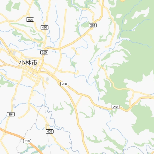
The flight distance (as the crow flies) between Tsurumaru Eki and Kokubu-matsuki is 33.1 km.
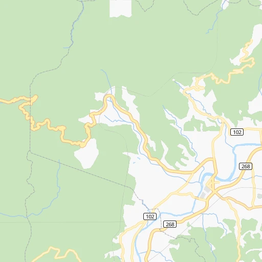
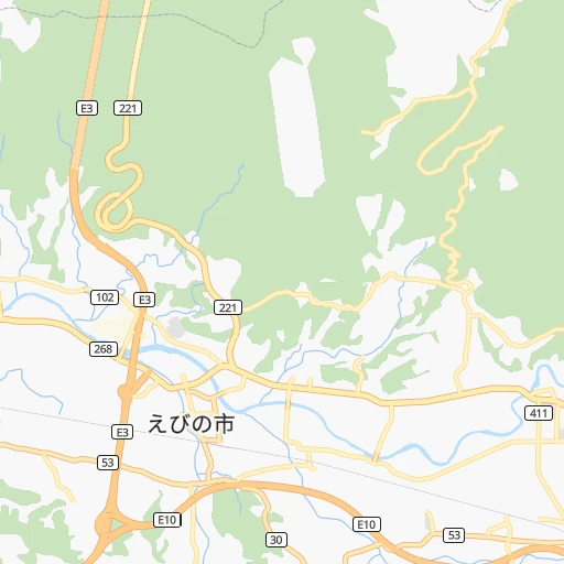
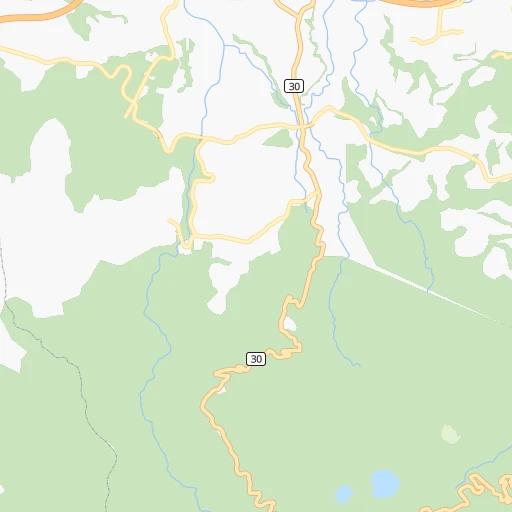
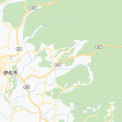
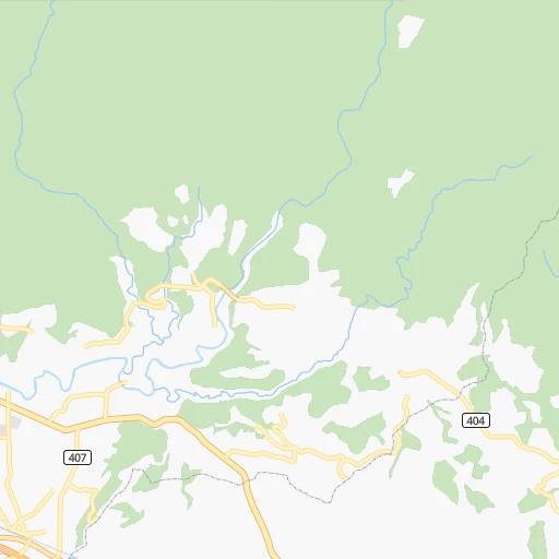
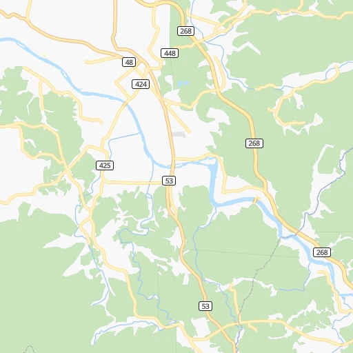
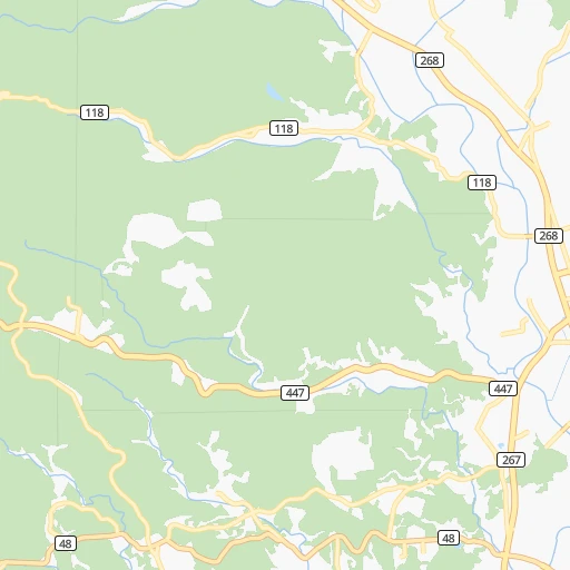
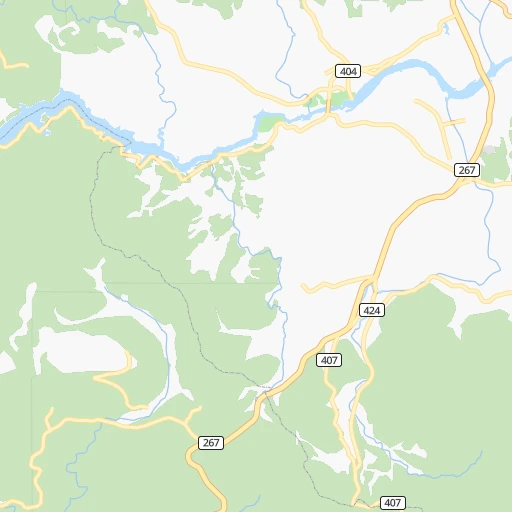
Roadmap (route) to go from Tsurumaru Eki to Kokubu-matsuki detailed above, you can also see the course layout on the map.
While doing trip Tsurumaru Eki - Kokubu-matsuki by car, the calculated route ends at a distance , or more straight.
Distance and duration of the route between Tsurumaru Eki and Kokubu-matsuki
Calculation of distance and route from Kokubu-matsuki to Tsurumaru Eki :
33.143.6 km1h48mn
Continue 0h1mn 519 mTurn left onto 国道268号 0h13mn 9.9 kmTurn left onto 栗野停車場線 0h0mn 165 mTurn right 0h0mn 258 mTurn left onto 栗野加治木線 0h0mn 361 mKeep left 0h1mn 611 mKeep right and drive toward 鹿児島, 溝辺 0h17mn 20.0 kmKeep left 0h1mn 675 mKeep right 0h0mn 62 mTurn right onto 国道504号 0h3mn 2.1 kmKeep left 0h3mn 1.4 kmTurn left onto 国道504号 0h1mn 1.3 kmTurn right onto 国道223号 0h4mn 2.9 kmTurn left 0h1mn 746 mTurn right 0h0mn 363 mTurn left 0h0mn 302 mTurn right 0h0mn 152 mTurn left 0h0mn 209 mTurn right 0h1mn 706 mTurn left 0h1mn 813 mTurn left 0h0mn 68 mTurn left 0h0mn 104 mArrive at destination 0h0mn 0 m
Travel from Tsurumaru Eki (Kagoshima) to a selection of major cities.
Distances from Tsurumaru Eki to biggest cities in Kagoshima
Other major cities in country :
- Hachioji [40], 579,399 inhabitants. 889 km
- Honcho [04], 560,743 inhabitants. 946 km
- Niigata [29], 505,272 inhabitants. 995 km
- Himeji [13], 481,493 inhabitants. 481 km
- Matsudo [04], 470,277 inhabitants. 942 km
- Nishinomiya-hama [13], 468,925 inhabitants. 520 km
- Kawaguchi [34], 468,565 inhabitants. 928 km
- Kanazawa [15], 458,937 inhabitants. 741 km
- Utsunomiya [38], 449,865 inhabitants. 979 km
- Oita [30], 448,907 inhabitants. 156 km
- Matsuyama [05], 443,322 inhabitants. 276 km
- Amagasaki [13], 442,173 inhabitants. 527 km
- Kurashiki [31], 437,581 inhabitants. 399 km
- Yokosuka [19], 428,992 inhabitants. 902 km
- Nagasaki [27], 410,204 inhabitants. 114 km
- Hirakata [32], 406,331 inhabitants. 551 km
- Machida [40], 399,969 inhabitants. 894 km
- Gifu-shi [09], 397,714 inhabitants. 672 km
- Fujisawa [19], 394,624 inhabitants. 888 km
- Toyonaka [32], 384,459 inhabitants. 535 km
Route from Kokubu-matsuki to major cities (Japan).
- Distance Kokubu-matsuki Tokyo936 km
- Distance Kokubu-matsuki Yokohama921 km
- Distance Kokubu-matsuki Osaka550 km
- Distance Kokubu-matsuki Nagoya687 km
- Distance Kokubu-matsuki Sapporo1,568 km
- Distance Kokubu-matsuki Kobe527 km
- Distance Kokubu-matsuki Kyoto591 km
- Distance Kokubu-matsuki Fukuoka210 km
- Distance Kokubu-matsuki Kawasaki930 km
- Distance Kokubu-matsuki Saitama944 km
- Distance Kokubu-matsuki Hiroshima336 km
- Distance Kokubu-matsuki Yono941 km
- Distance Kokubu-matsuki Sendai1,172 km
- Distance Kokubu-matsuki Kitakyushu236 km
- Distance Kokubu-matsuki Chiba967 km
- Distance Kokubu-matsuki Sakai541 km
- Distance Kokubu-matsuki Shizuoka795 km
- Distance Kokubu-matsuki Kumamoto120 km
- Distance Kokubu-matsuki Okayama439 km
- Distance Kokubu-matsuki Hamamatsu728 km
Nearest cities to Tsurumaru Eki :
- Fukuoka, 1,392,289 inhabitants. 177 km
- Hiroshima, 1,143,841 inhabitants. 308 km
- Kitakyushu, 997,536 inhabitants. 203 km
- Kumamoto, 680,423 inhabitants. 86 km
- Kagoshima, 555,352 inhabitants. 55 km
- Oita, 448,907 inhabitants. 156 km
- Matsuyama, 443,322 inhabitants. 276 km
- Nagasaki, 410,204 inhabitants. 114 km
- Fukuyama, 383,298 inhabitants. 366 km
- Kochi, 335,570 inhabitants. 311 km
- Miyazaki, 311,203 inhabitants. 64 km
- Shimonoseki, 245,786 inhabitants. 214 km
- Kurume, 238,197 inhabitants. 145 km
- Sasebo, 237,444 inhabitants. 159 km
- Kure, 196,624 inhabitants. 298 km
- Ube, 173,733 inhabitants. 218 km
- Saga, 165,236 inhabitants. 140 km
- Yamaguchi, 145,515 inhabitants. 249 km
- Omuta, 131,974 inhabitants. 115 km
- Miyakonojo, 130,994 inhabitants. 45 km
- Beppu, 125,065 inhabitants. 156 km
- Niihama, 123,059 inhabitants. 321 km
- Nobeoka, 121,949 inhabitants. 106 km
- Hofu, 116,925 inhabitants. 237 km
- Honmachi, 104,341 inhabitants. 55 km
- Iwakuni, 104,004 inhabitants. 274 km
- Tokuyama, 101,133 inhabitants. 246 km
- Chikushino-shi, 100,353 inhabitants. 165 km
- Isahaya, 97,371 inhabitants. 112 km
- Onojo, 94,957 inhabitants. 169 km
- Onomichi, 90,936 inhabitants. 350 km
- Omura, 89,918 inhabitants. 124 km
- Kanoya, 82,335 inhabitants. 73 km
- Mihara, 80,387 inhabitants. 342 km
- Karatsu, 78,330 inhabitants. 173 km
- Iizuka, 78,206 inhabitants. 179 km
- Hatsukaichi, 77,341 inhabitants. 297 km
- Tsurusaki, 76,968 inhabitants. 162 km
- Satsumasendai, 73,132 inhabitants. 49 km
- Yukuhashi, 71,277 inhabitants. 190 km
- Dazaifu, 70,587 inhabitants. 166 km
- Maebaru-chuo, 70,339 inhabitants. 178 km
- Nakatsu, 67,372 inhabitants. 179 km
- Tosu, 63,595 inhabitants. 150 km
- Hita, 61,481 inhabitants. 145 km
- Koga, 60,045 inhabitants. 191 km
- Uwajima, 58,971 inhabitants. 216 km
- Saijo, 58,823 inhabitants. 309 km
- Kasaoka, 58,461 inhabitants. 376 km
- Imaricho-ko, 57,940 inhabitants. 161 km
Location Tsurumaru Eki (Kagoshima) :
| Country flag |  |
| Location | Tsurumaru Eki |
| State | Kagoshima |
| County | Aira Gun |
| Country | Japan |
| Country code / ISO 2 | JP |
| Latitude | 32.0305800 |
| Longitude | 130.7487100 |
| Altitude | 0 meters |
| Time zone | Asia/Tokyo |
Location Kokubu-matsuki (Kagoshima) :
| Country flag | |
| Location | Kokubu-matsuki |
| State | Kagoshima |
| County | Kirishima Shi |
| Country | Japan |
| Country code / ISO 2 | JP |
| Latitude | 31.7333300 |
| Longitude | 130.7666700 |
| Altitude | 0 meters |
| Time zone | Asia/Tokyo |


