
How to get from Uragawara-eki (Niigata) to Shirone (Niigata)
Calculate route from Uragawara-eki (Niigata, Japan) to Shirone (Niigata, Japan).
The flight distance (as the crow flies) between Uragawara-eki and Shirone is 85.7 km.
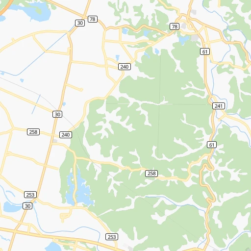
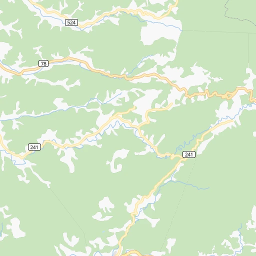
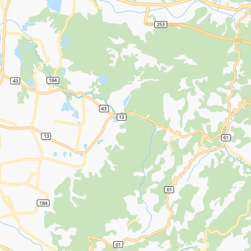
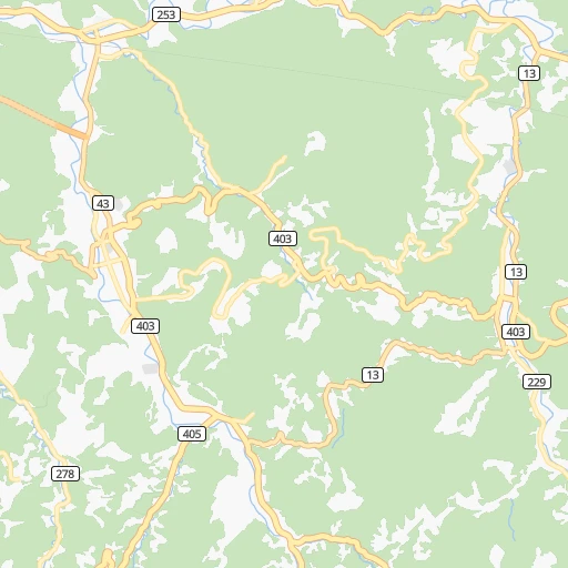
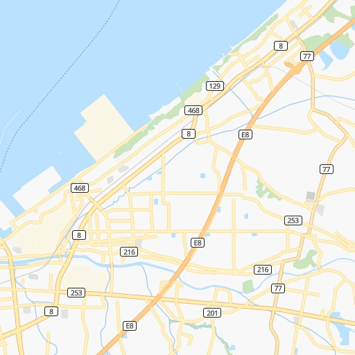
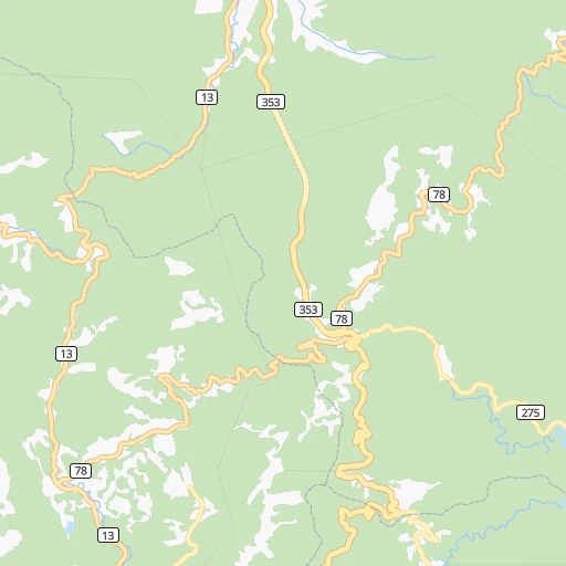
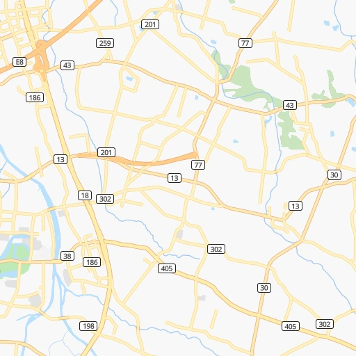
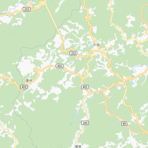
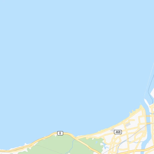
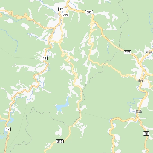
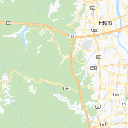
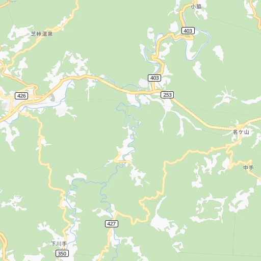
Roadmap (route) to go from Uragawara-eki to Shirone detailed above, you can also see the course layout on the map.
While doing trip Uragawara-eki - Shirone by car, the calculated route ends at a distance , or more straight.
Distance and duration of the route between Uragawara-eki and Shirone
Calculation of distance and route from Shirone to Uragawara-eki :
85.7105.1 km1h19mn
Continue 0h0mn 72 mTurn right 0h0mn 58 mTurn left 0h0mn 99 mTurn right 0h0mn 33 mTurn left 0h1mn 591 mTurn right onto 柿崎牧線 0h13mn 14.3 kmTurn right onto 国道8号 0h14mn 16.0 kmTurn left onto 国道8号 0h4mn 4.8 kmTurn right onto 国道252号 0h1mn 1.2 kmKeep left 0h0mn 432 mKeep left 1h31mn 50.2 kmKeep left 0h1mn 785 mKeep left 0h0mn 408 mTurn left onto 国道8号 0h13mn 15.2 kmTurn left 0h0mn 158 mTurn sharp right onto 国道460号 0h1mn 646 mTurn sharp left 0h0mn 71 mArrive at destination 0h0mn 0 m
Travel from Uragawara-eki (Niigata) to a selection of major cities.
Distances from Uragawara-eki to biggest cities in Niigata
- Yoshida-kasugacho,25,500 inhabitants.71 km
- Tochio-honcho,23,045 inhabitants.62 km
- Suibara,20,392 inhabitants.105 km
- Shiozawa,20,178 inhabitants.40 km
Other major cities in country :
- Hachioji [40], 579,399 inhabitants. 186 km
- Honcho [04], 560,743 inhabitants. 215 km
- Kagoshima [18], 555,352 inhabitants. 954 km
- Himeji [13], 481,493 inhabitants. 424 km
- Matsudo [04], 470,277 inhabitants. 203 km
- Nishinomiya-hama [13], 468,925 inhabitants. 389 km
- Kawaguchi [34], 468,565 inhabitants. 190 km
- Kanazawa [15], 458,937 inhabitants. 172 km
- Utsunomiya [38], 449,865 inhabitants. 146 km
- Oita [30], 448,907 inhabitants. 758 km
- Matsuyama [05], 443,322 inhabitants. 632 km
- Amagasaki [13], 442,173 inhabitants. 384 km
- Kurashiki [31], 437,581 inhabitants. 508 km
- Yokosuka [19], 428,992 inhabitants. 237 km
- Nagasaki [27], 410,204 inhabitants. 920 km
- Hirakata [32], 406,331 inhabitants. 361 km
- Machida [40], 399,969 inhabitants. 203 km
- Gifu-shi [09], 397,714 inhabitants. 244 km
- Fujisawa [19], 394,624 inhabitants. 223 km
- Toyonaka [32], 384,459 inhabitants. 375 km
Route from Shirone to major cities (Japan).
- Distance Shirone Tokyo238 km
- Distance Shirone Yokohama265 km
- Distance Shirone Osaka465 km
- Distance Shirone Nagoya344 km
- Distance Shirone Sapporo622 km
- Distance Shirone Kobe486 km
- Distance Shirone Kyoto423 km
- Distance Shirone Fukuoka905 km
- Distance Shirone Kawasaki257 km
- Distance Shirone Saitama214 km
- Distance Shirone Hiroshima700 km
- Distance Shirone Yono216 km
- Distance Shirone Sendai171 km
- Distance Shirone Kitakyushu856 km
- Distance Shirone Chiba260 km
- Distance Shirone Sakai477 km
- Distance Shirone Shizuoka315 km
- Distance Shirone Kumamoto936 km
- Distance Shirone Okayama573 km
- Distance Shirone Hamamatsu360 km
Nearest cities to Uragawara-eki :
- Tokyo, 8,336,599 inhabitants. 199 km
- Yokohama, 3,574,443 inhabitants. 222 km
- Osaka, 2,592,413 inhabitants. 380 km
- Nagoya, 2,191,279 inhabitants. 259 km
- Kyoto, 1,459,640 inhabitants. 338 km
- Kawasaki, 1,306,785 inhabitants. 216 km
- Saitama, 1,193,350 inhabitants. 178 km
- Yono, 1,077,730 inhabitants. 179 km
- Sendai, 1,063,103 inhabitants. 248 km
- Chiba, 919,729 inhabitants. 231 km
- Sakai, 782,339 inhabitants. 391 km
- Shizuoka, 701,561 inhabitants. 242 km
- Hamamatsu, 605,098 inhabitants. 281 km
- Hachioji, 579,399 inhabitants. 186 km
- Honcho, 560,743 inhabitants. 215 km
- Niigata, 505,272 inhabitants. 96 km
- Matsudo, 470,277 inhabitants. 203 km
- Kawaguchi, 468,565 inhabitants. 190 km
- Kanazawa, 458,937 inhabitants. 172 km
- Utsunomiya, 449,865 inhabitants. 146 km
- Yokosuka, 428,992 inhabitants. 237 km
- Hirakata, 406,331 inhabitants. 361 km
- Machida, 399,969 inhabitants. 203 km
- Gifu-shi, 397,714 inhabitants. 244 km
- Fujisawa, 394,624 inhabitants. 223 km
- Toyonaka, 384,459 inhabitants. 375 km
- Toyohashi, 378,374 inhabitants. 282 km
- Nara-shi, 367,353 inhabitants. 362 km
- Toyota, 362,383 inhabitants. 258 km
- Nagano, 360,176 inhabitants. 60 km
- Iwaki, 357,309 inhabitants. 219 km
- Takatsuki, 354,468 inhabitants. 360 km
- Okazaki, 352,361 inhabitants. 271 km
- Suita, 351,630 inhabitants. 374 km
- Koriyama, 340,560 inhabitants. 176 km
- Kashiwa, 340,221 inhabitants. 201 km
- Tokorozawa, 339,435 inhabitants. 178 km
- Kawagoe, 337,931 inhabitants. 169 km
- Toyama, 325,532 inhabitants. 119 km
- Akita, 320,069 inhabitants. 321 km
- Koshigaya, 317,437 inhabitants. 187 km
- Kasugai, 298,589 inhabitants. 249 km
- Otsu, 298,164 inhabitants. 332 km
- Yokkaichi, 295,841 inhabitants. 293 km
- Morioka, 295,172 inhabitants. 370 km
- Fukushima, 294,237 inhabitants. 193 km
- Ichihara, 283,531 inhabitants. 236 km
- Maebashi, 282,711 inhabitants. 103 km
- Ichinomiya, 280,331 inhabitants. 253 km
- Ibaraki, 273,992 inhabitants. 366 km
Location Uragawara-eki (Niigata) :
| Country flag |  |
| Location | Uragawara-eki |
| State | Niigata |
| County | Jōetsu Shi |
| Country | Japan |
| Country code / ISO 2 | JP |
| Latitude | 37.1593000 |
| Longitude | 138.4190000 |
| Altitude | 0 meters |
| Time zone | Asia/Tokyo |
Location Shirone (Niigata) :
| Country flag | |
| Location | Shirone |
| State | Niigata |
| County | Niigata Shi |
| Country | Japan |
| Country code / ISO 2 | JP |
| Latitude | 37.7635400 |
| Longitude | 139.0219900 |
| Altitude | 0 meters |
| Time zone | Asia/Tokyo |

