
How to get from Shinzō Kekkan Sentaa-eki (Gunma) to Numata (Gunma)
Calculate route from Shinzō Kekkan Sentaa-eki (Gunma, Japan) to Numata (Gunma, Japan).
The flight distance (as the crow flies) between Shinzō Kekkan Sentaa-eki and Numata is 26.3 km.
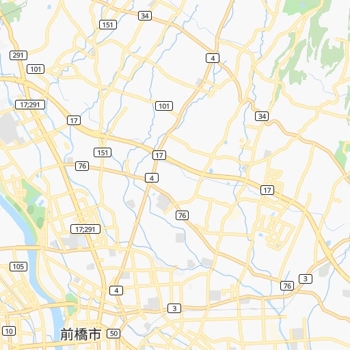
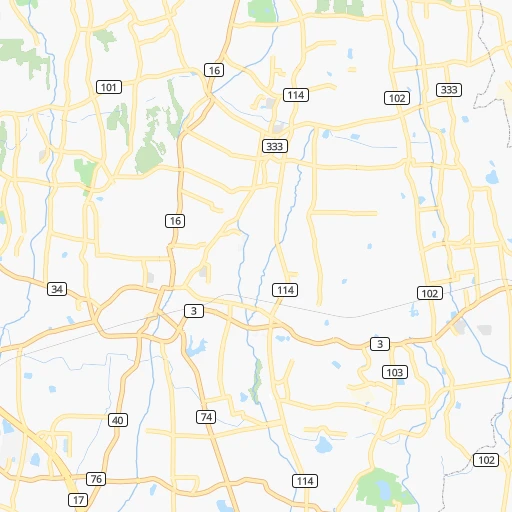
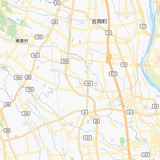
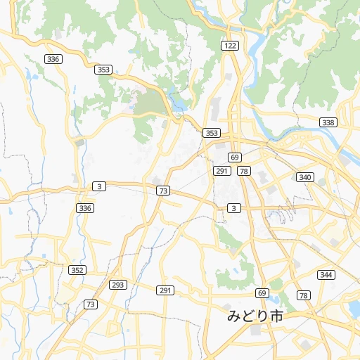
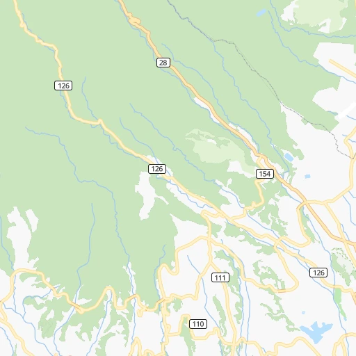
Roadmap (route) to go from Shinzō Kekkan Sentaa-eki to Numata detailed above, you can also see the course layout on the map.
While doing trip Shinzō Kekkan Sentaa-eki - Numata by car, the calculated route ends at a distance , or more straight.
Distance and duration of the route between Shinzō Kekkan Sentaa-eki and Numata
Calculation of distance and route from Numata to Shinzō Kekkan Sentaa-eki :
26.334.5 km1h41mn
Continue 0h0mn 53 mTurn left 0h0mn 9 mTurn right 0h0mn 41 mTurn right 0h0mn 206 mTurn sharp left onto 前橋大間々桐生線 0h0mn 219 mTurn right 0h0mn 24 mKeep right 0h0mn 123 mTurn right 0h2mn 2.5 kmTurn right 0h3mn 2.4 kmTurn left 0h1mn 649 mTurn slight right 0h5mn 2.9 kmContinue 0h0mn 300 mTurn right 0h1mn 1.1 kmTurn left onto 国道353号 0h5mn 5.9 kmContinue onto 大間々上白井線 0h3mn 1.9 kmTurn left onto 大間々上白井線 0h2mn 1.1 kmKeep left 0h0mn 242 mKeep right 0h8mn 9.4 kmKeep left 0h1mn 906 mTurn right onto 昭和インター線 0h0mn 245 mTurn right 0h3mn 1.4 kmTurn left 0h0mn 333 mTurn left onto 昭和インター線 0h0mn 8 mTurn right 0h1mn 294 mTurn sharp right 0h1mn 618 mTurn right onto 戸鹿野下之町線 0h2mn 1.3 kmTurn right 0h1mn 184 mContinue 0h1mn 231 mContinue 0h0mn 97 mArrive at destination 0h0mn 0 m
Travel from Shinzō Kekkan Sentaa-eki (Gunma) to a selection of major cities.
Distances from Shinzō Kekkan Sentaa-eki to biggest cities in Gunma
Other major cities in country :
- Hachioji [40], 579,399 inhabitants. 85 km
- Honcho [04], 560,743 inhabitants. 110 km
- Kagoshima [18], 555,352 inhabitants. 957 km
- Niigata [29], 505,272 inhabitants. 165 km
- Himeji [13], 481,493 inhabitants. 438 km
- Matsudo [04], 470,277 inhabitants. 98 km
- Nishinomiya-hama [13], 468,925 inhabitants. 392 km
- Kawaguchi [34], 468,565 inhabitants. 85 km
- Kanazawa [15], 458,937 inhabitants. 226 km
- Utsunomiya [38], 449,865 inhabitants. 70 km
- Oita [30], 448,907 inhabitants. 773 km
- Matsuyama [05], 443,322 inhabitants. 646 km
- Amagasaki [13], 442,173 inhabitants. 385 km
- Kurashiki [31], 437,581 inhabitants. 527 km
- Yokosuka [19], 428,992 inhabitants. 134 km
- Nagasaki [27], 410,204 inhabitants. 939 km
- Hirakata [32], 406,331 inhabitants. 361 km
- Machida [40], 399,969 inhabitants. 101 km
- Gifu-shi [09], 397,714 inhabitants. 240 km
- Fujisawa [19], 394,624 inhabitants. 122 km
Route from Numata to major cities (Japan).
- Distance Numata Tokyo120 km
- Distance Numata Yokohama144 km
- Distance Numata Osaka387 km
- Distance Numata Nagoya252 km
- Distance Numata Sapporo743 km
- Distance Numata Kobe411 km
- Distance Numata Kyoto347 km
- Distance Numata Fukuoka855 km
- Distance Numata Kawasaki138 km
- Distance Numata Saitama97 km
- Distance Numata Hiroshima647 km
- Distance Numata Yono99 km
- Distance Numata Sendai243 km
- Distance Numata Kitakyushu807 km
- Distance Numata Chiba150 km
- Distance Numata Sakai397 km
- Distance Numata Shizuoka193 km
- Distance Numata Kumamoto875 km
- Distance Numata Okayama513 km
- Distance Numata Hamamatsu246 km
Nearest cities to Shinzō Kekkan Sentaa-eki :
- Tokyo, 8,336,599 inhabitants. 94 km
- Yokohama, 3,574,443 inhabitants. 118 km
- Nagoya, 2,191,279 inhabitants. 243 km
- Kawasaki, 1,306,785 inhabitants. 112 km
- Saitama, 1,193,350 inhabitants. 73 km
- Yono, 1,077,730 inhabitants. 74 km
- Sendai, 1,063,103 inhabitants. 258 km
- Chiba, 919,729 inhabitants. 126 km
- Shizuoka, 701,561 inhabitants. 172 km
- Hamamatsu, 605,098 inhabitants. 228 km
- Hachioji, 579,399 inhabitants. 85 km
- Honcho, 560,743 inhabitants. 110 km
- Niigata, 505,272 inhabitants. 165 km
- Matsudo, 470,277 inhabitants. 98 km
- Kawaguchi, 468,565 inhabitants. 85 km
- Kanazawa, 458,937 inhabitants. 226 km
- Utsunomiya, 449,865 inhabitants. 70 km
- Yokosuka, 428,992 inhabitants. 134 km
- Machida, 399,969 inhabitants. 101 km
- Gifu-shi, 397,714 inhabitants. 240 km
- Fujisawa, 394,624 inhabitants. 122 km
- Toyohashi, 378,374 inhabitants. 241 km
- Toyota, 362,383 inhabitants. 232 km
- Nagano, 360,176 inhabitants. 89 km
- Iwaki, 357,309 inhabitants. 172 km
- Okazaki, 352,361 inhabitants. 240 km
- Koriyama, 340,560 inhabitants. 157 km
- Kashiwa, 340,221 inhabitants. 97 km
- Tokorozawa, 339,435 inhabitants. 74 km
- Kawagoe, 337,931 inhabitants. 64 km
- Toyama, 325,532 inhabitants. 174 km
- Koshigaya, 317,437 inhabitants. 83 km
- Kasugai, 298,589 inhabitants. 233 km
- Yokkaichi, 295,841 inhabitants. 278 km
- Fukushima, 294,237 inhabitants. 191 km
- Ichihara, 283,531 inhabitants. 131 km
- Maebashi, 282,711 inhabitants. 4 km
- Ichinomiya, 280,331 inhabitants. 243 km
- Hiratsuka, 259,052 inhabitants. 121 km
- Yamagata, 254,538 inhabitants. 231 km
- Fukui-shi, 248,707 inhabitants. 264 km
- Mito, 246,538 inhabitants. 119 km
- Takasaki, 240,857 inhabitants. 13 km
- Fuji, 240,014 inhabitants. 144 km
- Chigasaki, 231,657 inhabitants. 122 km
- Soka, 231,445 inhabitants. 87 km
- Atsugi, 229,199 inhabitants. 109 km
- Minamirinkan, 224,015 inhabitants. 105 km
- Ageoshimo, 219,401 inhabitants. 65 km
- Chofu, 212,977 inhabitants. 91 km
Location Shinzō Kekkan Sentaa-eki (Gunma) :
| Country flag |  |
| Location | Shinzō Kekkan Sentaa-eki |
| State | Gunma |
| County | Maebashi Shi |
| Country | Japan |
| Country code / ISO 2 | JP |
| Latitude | 36.4052500 |
| Longitude | 139.1289900 |
| Altitude | 0 meters |
| Time zone | Asia/Tokyo |
Location Numata (Gunma) :
| Country flag | |
| Location | Numata |
| State | Gunma |
| County | Numata Shi |
| Country | Japan |
| Country code / ISO 2 | JP |
| Latitude | 36.6333300 |
| Longitude | 139.0500000 |
| Altitude | 0 meters |
| Time zone | Asia/Tokyo |


