

How to get from Īstgāh-e Rāh Āhan-e Khātūnābād (Kerman) to Fasā (Fars)
Calculate route from Īstgāh-e Rāh Āhan-e Khātūnābād (Kerman, Iran) to Fasā (Fars, Iran).
The flight distance (as the crow flies) between Īstgāh-e Rāh Āhan-e Khātūnābād and Fasā is 213.0 km.
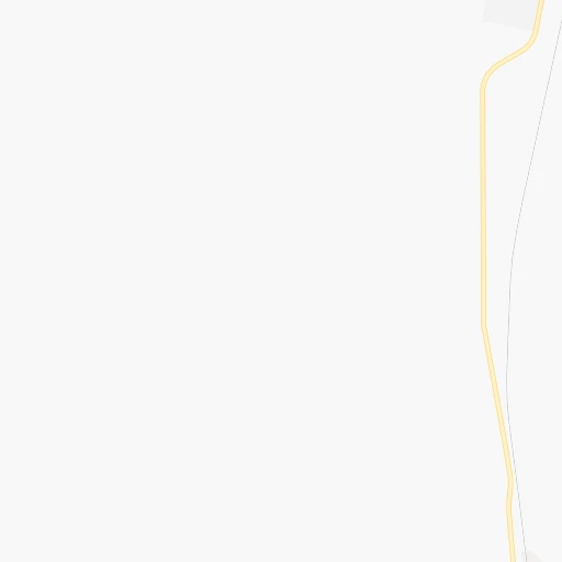
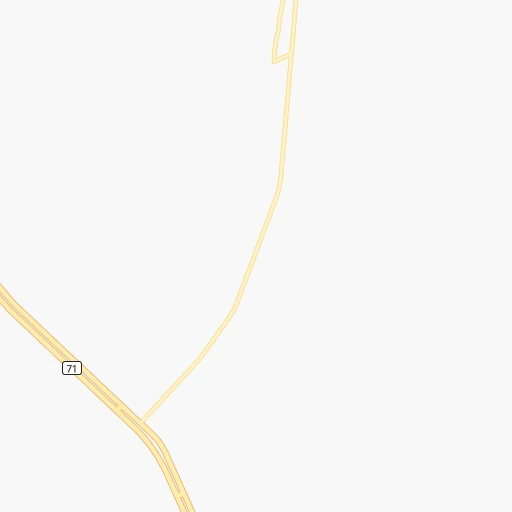
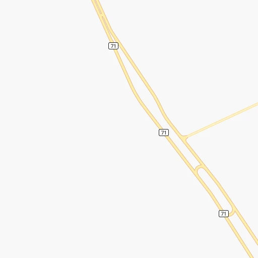
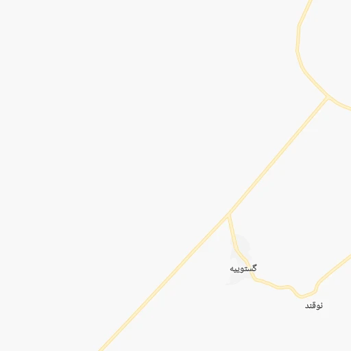
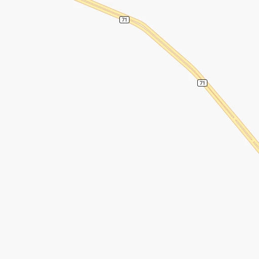
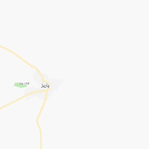
Roadmap (route) to go from Īstgāh-e Rāh Āhan-e Khātūnābād to Fasā detailed above, you can also see the course layout on the map.
While doing trip Īstgāh-e Rāh Āhan-e Khātūnābād - Fasā by car, the calculated route ends at a distance , or more straight.
Distance and duration of the route between Īstgāh-e Rāh Āhan-e Khātūnābād and Fasā
Calculation of distance and route from Fasā to Īstgāh-e Rāh Āhan-e Khātūnābād :
213.0337.3 km4h29mn
Continue 0h0mn 25 mTurn right 0h0mn 24 mTurn left 0h0mn 127 mKeep left 0h0mn 73 mContinue 0h13mn 11.0 kmKeep right 0h1mn 741 mTurn left 0h1mn 344 mTurn left onto بزرگراه سیرجان - شهر بابک 1h30mn 50.6 kmAt roundabout, take exit 1 onto کمربندی سیرجان 0h8mn 8.8 kmKeep right toward 86 0h26mn 41.4 kmKeep right onto سیرجان - نیریز - استهبان 1h14mn 82.4 kmContinue onto نیریز - سیرجان 1h35mn 39.5 kmTurn slight right onto نیریز - سیرجان 0h0mn 79 mAt roundabout, take exit 1 onto بلوار امام رضا (ع) 0h3mn 3.0 kmKeep right onto نیریز - استهبان 0h8mn 13.7 kmKeep right onto جاده نیریز-خرامه toward 164 0h24mn 25.9 kmTurn slight left 0h1mn 800 mAt roundabout, take exit 1 0h9mn 9.2 kmKeep left 0h0mn 67 mTurn right onto استهبان - فسا 0h17mn 23.8 kmKeep right 0h7mn 8.2 kmMake a U-turn onto شیراز - فسا - بندرعباس 0h9mn 13.9 kmAt roundabout, take exit 3 onto بلوار سردار سلیمانی 0h0mn 669 mKeep right 0h1mn 1.1 kmAt roundabout, take exit 4 onto جمهوری اسلامی 0h1mn 611 mAt roundabout, take exit 2 onto میدان غدیر 0h0mn 228 mAt roundabout, take exit 1 onto حسین بنا 0h0mn 312 mAt roundabout, take exit 3 onto خیابان شاهزاده قاسم 0h1mn 418 mAt roundabout, take exit 2 onto شهید منتظری 0h0mn 216 mTurn left onto منتظری ۵ 0h0mn 111 mArrive at destination 0h0mn 0 m
Travel from Īstgāh-e Rāh Āhan-e Khātūnābād (Fars) to a selection of major cities.
Distances from Īstgāh-e Rāh Āhan-e Khātūnābād to biggest cities in Kerman
Other major cities in country :
- Zanjan [36], 357,471 inhabitants. 997 km
- Bandar Abbas [11], 352,173 inhabitants. 312 km
- Sanandaj [16], 349,176 inhabitants. 1,001 km
- Qazvin [38], 333,635 inhabitants. 875 km
- Khorramshahr [15], 330,606 inhabitants. 710 km
- Khorramabad [23], 329,825 inhabitants. 788 km
- Khomeyni Shahr [28], 277,334 inhabitants. 490 km
- Sari [35], 255,396 inhabitants. 775 km
- Borujerd [23], 251,958 inhabitants. 780 km
- Qarchak [26], 251,834 inhabitants. 717 km
- Gorgan [37], 244,937 inhabitants. 778 km
- Sabzevar [42], 226,183 inhabitants. 729 km
- Najafabad [28], 223,450 inhabitants. 499 km
- Neyshabur [42], 220,929 inhabitants. 764 km
- Nazarabad [44], 213,388 inhabitants. 815 km
- Bukan [01], 213,331 inhabitants. 1,137 km
- Babol [35], 202,796 inhabitants. 785 km
- Amol [35], 199,382 inhabitants. 788 km
- Birjand [41], 196,982 inhabitants. 480 km
- Bojnurd [43], 192,041 inhabitants. 858 km
Route from Fasā to major cities (Iran).
- Distance Fasā Tehran781 km
- Distance Fasā Mashhad991 km
- Distance Fasā Isfahan454 km
- Distance Fasā Karaj807 km
- Distance Fasā Tabriz1,224 km
- Distance Fasā Qom687 km
- Distance Fasā Ahvaz546 km
- Distance Fasā Pasragad Branch813 km
- Distance Fasā Kahriz870 km
- Distance Fasā Kermanshah864 km
- Distance Fasā Rasht1,002 km
- Distance Fasā Kerman364 km
- Distance Fasā Orumiyeh1,246 km
- Distance Fasā Zahedan704 km
- Distance Fasā Hamadan813 km
- Distance Fasā Azadshahr809 km
- Distance Fasā Arak685 km
- Distance Fasā Yazd337 km
- Distance Fasā Ardabil1,149 km
- Distance Fasā Abadan540 km
Nearest cities to Īstgāh-e Rāh Āhan-e Khātūnābād :
- Kerman, 577,514 inhabitants. 154 km
- Yazd, 477,905 inhabitants. 247 km
- Bandar Abbas, 352,173 inhabitants. 312 km
- Sirjan, 207,645 inhabitants. 53 km
- Rafsanjan, 147,680 inhabitants. 70 km
- Bam, 99,268 inhabitants. 287 km
- Akbarabad, 98,342 inhabitants. 278 km
- Fasa, 98,061 inhabitants. 213 km
- Minab, 70,790 inhabitants. 345 km
- Firuzabad, 66,558 inhabitants. 312 km
- Darab, 63,319 inhabitants. 162 km
- Zarand, 58,983 inhabitants. 140 km
- Ardakan, 58,834 inhabitants. 304 km
- Abadeh, 56,988 inhabitants. 310 km
- Shahr-e Babak, 52,409 inhabitants. 46 km
- Meybod, 51,874 inhabitants. 298 km
- Neyriz, 45,506 inhabitants. 142 km
- Ravar, 40,167 inhabitants. 193 km
- Bardsir, 37,192 inhabitants. 100 km
- Mahriz, 36,720 inhabitants. 213 km
- Mohr, 35,000 inhabitants. 369 km
- Bafq, 31,215 inhabitants. 188 km
- Pasargad, 29,825 inhabitants. 230 km
- Gerash, 25,316 inhabitants. 285 km
- Qeshm, 25,000 inhabitants. 338 km
- Taft, 19,394 inhabitants. 240 km
- Shahrak-e Pabedana, 6,503 inhabitants. 159 km
Location Īstgāh-e Rāh Āhan-e Khātūnābād (Kerman) :
| Country flag |  |
| Location | Īstgāh-e Rāh Āhan-e Khātūnābād |
| State | Kerman |
| County | |
| Country | Iran |
| Country code / ISO 2 | IR |
| Latitude | 29.9155200 |
| Longitude | 55.5412900 |
| Altitude | 0 meters |
| Time zone | Asia/Tehran |
Location Fasā (Fars) :
| Country flag | |
| Location | Fasā |
| State | Fars |
| County | |
| Country | Iran |
| Country code / ISO 2 | IR |
| Latitude | 28.9383000 |
| Longitude | 53.6482000 |
| Altitude | 0 meters |
| Time zone | Asia/Tehran |