
How to get from St. Neots Railway Station (England) to Oxford (England)
Calculate route from St. Neots Railway Station (England, United Kingdom) to Oxford (England, United Kingdom).
The flight distance (as the crow flies) between St. Neots Railway Station and Oxford is 87.2 km.
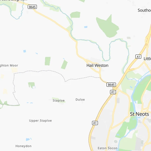
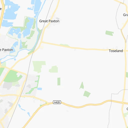
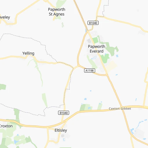
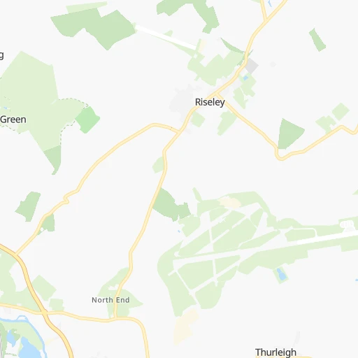
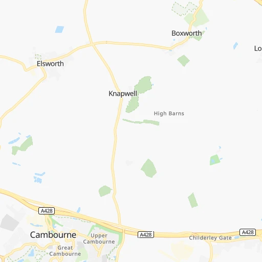
Roadmap (route) to go from St. Neots Railway Station to Oxford detailed above, you can also see the course layout on the map.
While doing trip St. Neots Railway Station - Oxford by car, the calculated route ends at a distance , or more straight.
Distance and duration of the route between St. Neots Railway Station and Oxford
Calculation of distance and route from Oxford to St. Neots Railway Station :
87.2105.1 km1h20mn
Continue 0h0mn 8 mTurn slight left 0h1mn 198 mTurn left onto Station Road 0h0mn 320 mContinue onto Cambridge Street 0h0mn 77 mTurn left onto Cromwell Road 0h2mn 1.7 kmAt roundabout, take exit 2 onto Barford Road 0h1mn 488 mTurn left onto Barford Road 0h0mn 161 mAt roundabout, take exit 1 onto Barford Road 0h0mn 210 mAt roundabout, take exit 3 onto A428 0h1mn 1.6 kmAt roundabout, take exit 1 onto A428 0h0mn 218 mKeep left onto A428 and take A1 toward London 0h2mn 2.5 kmKeep right onto Great North Road and drive toward A421 0h0mn 74 mAt roundabout, take exit 3 onto Great Barford Bypass 0h17mn 28.8 kmAt roundabout, take exit 2 onto A421 0h2mn 3.2 kmAt roundabout, take exit 2 onto Eagle Farm Roundabout 0h1mn 967 mAt roundabout, take exit 2 onto H8 Standing Way 0h1mn 1.0 kmAt roundabout, take exit 3 onto H8 Standing Way 0h1mn 960 mAt roundabout, take exit 2 onto H8 Standing Way 0h1mn 1.2 kmAt roundabout, take exit 2 onto H8 Standing Way 0h1mn 1.8 kmAt roundabout, take exit 2 onto H8 Standing Way 0h0mn 159 mAt roundabout, take exit 1 onto H8 Standing Way 0h0mn 334 mAt roundabout, take exit 2 onto H8 Standing Way 0h0mn 350 mAt roundabout, take exit 2 onto H8 Standing Way 0h0mn 698 mAt roundabout, take exit 2 onto H8 Standing Way 0h0mn 639 mAt roundabout, take exit 2 onto H8 Standing Way 0h1mn 1.4 kmAt roundabout, take exit 2 onto H8 Standing Way 0h0mn 806 mAt roundabout, take exit 2 onto H8 Standing Way 0h1mn 1.3 kmAt roundabout, take exit 2 onto H8 Standing Way 0h1mn 1.3 kmAt roundabout, take exit 2 onto Buckingham Road 0h1mn 1.7 kmAt roundabout, take exit 2 onto A421 0h2mn 2.8 kmAt roundabout, take exit 2 onto A421 0h5mn 7.1 kmAt roundabout, take exit 1 onto A421 0h1mn 824 mAt roundabout, take exit 2 onto A421 0h1mn 682 mAt roundabout, take exit 2 onto A421 0h1mn 614 mAt roundabout, take exit 2 onto A421 0h1mn 855 mAt roundabout, take exit 2 onto A421 0h0mn 454 mAt roundabout, take exit 2 onto Tingewick Road 0h1mn 1.3 kmAt roundabout, take exit 1 onto A421 0h2mn 2.9 kmAt roundabout, take exit 1 onto A4421 0h8mn 9.6 kmAt roundabout, take exit 2 onto Buckingham Road 0h1mn 842 mTurn slight right onto Buckingham Road 0h1mn 748 mContinue onto Field Street 0h0mn 150 mKeep right 0h0mn 38 mTurn slight right onto Queens Avenue 0h1mn 615 mTurn slight left onto Oxford Road 0h0mn 348 mKeep right 0h0mn 45 mKeep left onto A41 0h1mn 862 mAt roundabout, take exit 2 onto A41 0h2mn 2.7 kmAt roundabout, take exit 2 onto Wendlebury Interchange 0h6mn 10.0 kmKeep left and take A44, (A40) toward Oxford, Evesham, London, Cheltenham, Witney, Headington, Woodstock 0h0mn 406 mAt roundabout, take exit 2 onto Woodstock Road 0h1mn 789 mAt roundabout, take exit 3 onto Woodstock Road 0h5mn 3.6 kmTurn right onto Little Clarendon Street 0h0mn 217 mTurn left onto Walton Street 0h1mn 330 mTurn right onto Worcester Street 0h1mn 459 mTurn left onto Frideswide Square 0h0mn 30 mTurn right onto Hollybush Row 0h1mn 821 mTurn left 0h0mn 32 mTurn right onto Speedwell Street 0h0mn 225 mTurn left onto St Aldate's 0h1mn 510 mArrive at destination 0h0mn 0 m
Travel from St. Neots Railway Station (England) to a selection of major cities.
Distances from St. Neots Railway Station to biggest cities in England
- Plymouth,260,203 inhabitants.341 km
- Luton,258,018 inhabitants.41 km
- Wolverhampton,252,791 inhabitants.133 km
- City of Westminster,247,614 inhabitants.82 km
- Southampton,246,201 inhabitants.168 km
- Blackpool,239,409 inhabitants.258 km
- Milton Keynes,229,941 inhabitants.41 km
- Bexley,228,000 inhabitants.92 km
- Northampton,215,963 inhabitants.43 km
- Archway,215,667 inhabitants.74 km
- Norwich,213,166 inhabitants.114 km
- Dudley,199,059 inhabitants.128 km
- Portsmouth,194,150 inhabitants.170 km
- Newcastle upon Tyne,192,382 inhabitants.318 km
- Sutton,187,600 inhabitants.98 km
- Swindon,185,609 inhabitants.129 km
- Crawley,180,508 inhabitants.125 km
- Ipswich,178,835 inhabitants.98 km
- Wigan,175,405 inhabitants.217 km
- Croydon,173,314 inhabitants.95 km
Other major cities in country :
- Bridgend [WLS], 58,380 inhabitants. 243 km
- Castlereagh [NIR], 56,679 inhabitants. 456 km
- Livingston [SCT], 56,570 inhabitants. 461 km
- Barry [WLS], 54,673 inhabitants. 229 km
- Hamilton [SCT], 53,200 inhabitants. 465 km
- Cumbernauld [SCT], 51,610 inhabitants. 480 km
- Dunfermline [SCT], 50,380 inhabitants. 476 km
Route from Oxford to major cities (United Kingdom).
- Distance Oxford Glasgow498 km
- Distance Oxford Edinburgh485 km
- Distance Oxford Cardiff136 km
- Distance Oxford Newport122 km
- Distance Oxford Swansea186 km
- Distance Oxford Belfast444 km
- Distance Oxford Aberdeen603 km
- Distance Oxford Dundee537 km
- Distance Oxford Londonderry County Borough540 km
- Distance Oxford Derry540 km
- Distance Oxford Lisburn444 km
- Distance Oxford Paisley500 km
- Distance Oxford East Kilbride486 km
- Distance Oxford Wrexham186 km
- Distance Oxford Newtownabbey448 km
- Distance Oxford Buckley200 km
- Distance Oxford Tonypandy152 km
- Distance Oxford Bangor437 km
- Distance Oxford Rhondda152 km
- Distance Oxford Craigavon455 km
Nearest cities to St. Neots Railway Station :
- London, 7,556,900 inhabitants. 81 km
- Birmingham, 984,333 inhabitants. 116 km
- Liverpool, 864,122 inhabitants. 226 km
- Nottingham, 729,977 inhabitants. 101 km
- Sheffield, 685,368 inhabitants. 152 km
- Bristol, 617,280 inhabitants. 183 km
- Leicester, 508,916 inhabitants. 75 km
- Leeds, 455,123 inhabitants. 195 km
- Cardiff, 447,287 inhabitants. 218 km
- Manchester, 395,515 inhabitants. 193 km
- Stoke-on-Trent, 372,775 inhabitants. 157 km
- Coventry, 359,262 inhabitants. 88 km
- Sunderland, 335,415 inhabitants. 307 km
- Birkenhead, 325,264 inhabitants. 227 km
- Islington, 319,143 inhabitants. 78 km
- Reading, 318,014 inhabitants. 100 km
- Kingston upon Hull, 314,018 inhabitants. 168 km
- Preston, 313,332 inhabitants. 237 km
- Newport, 306,844 inhabitants. 202 km
- Bradford, 299,310 inhabitants. 201 km
- Southend-on-Sea, 295,310 inhabitants. 102 km
- Derby, 270,468 inhabitants. 113 km
- Luton, 258,018 inhabitants. 41 km
- Wolverhampton, 252,791 inhabitants. 133 km
- City of Westminster, 247,614 inhabitants. 82 km
- Southampton, 246,201 inhabitants. 168 km
- Blackpool, 239,409 inhabitants. 258 km
- Milton Keynes, 229,941 inhabitants. 41 km
- Bexley, 228,000 inhabitants. 92 km
- Northampton, 215,963 inhabitants. 43 km
- Archway, 215,667 inhabitants. 74 km
- Norwich, 213,166 inhabitants. 114 km
- Dudley, 199,059 inhabitants. 128 km
- Portsmouth, 194,150 inhabitants. 170 km
- Newcastle upon Tyne, 192,382 inhabitants. 318 km
- Sutton, 187,600 inhabitants. 98 km
- Swindon, 185,609 inhabitants. 129 km
- Crawley, 180,508 inhabitants. 125 km
- Ipswich, 178,835 inhabitants. 98 km
- Wigan, 175,405 inhabitants. 217 km
- Croydon, 173,314 inhabitants. 95 km
- Walsall, 172,141 inhabitants. 124 km
- Mansfield, 171,958 inhabitants. 119 km
- Oxford, 171,380 inhabitants. 87 km
- Warrington, 165,456 inhabitants. 203 km
- Slough, 163,777 inhabitants. 84 km
- Bournemouth, 163,600 inhabitants. 203 km
- Peterborough, 163,379 inhabitants. 38 km
- Cambridge, 158,434 inhabitants. 25 km
- Doncaster, 158,141 inhabitants. 155 km
Location St. Neots Railway Station (England) :
| Country flag |  |
| Location | St. Neots Railway Station |
| State | England |
| County | Cambridgeshire |
| Country | United Kingdom |
| Country code / ISO 2 | GB |
| Latitude | 52.2320000 |
| Longitude | -0.2470000 |
| Altitude | 0 meters |
| Time zone | Europe/London |
Location Oxford (England) :
| Country flag | |
| Location | Oxford |
| State | England |
| County | Oxfordshire |
| Country | United Kingdom |
| Country code / ISO 2 | GB |
| Latitude | 51.7522200 |
| Longitude | -1.2559600 |
| Altitude | 0 meters |
| Time zone | Europe/London |


