
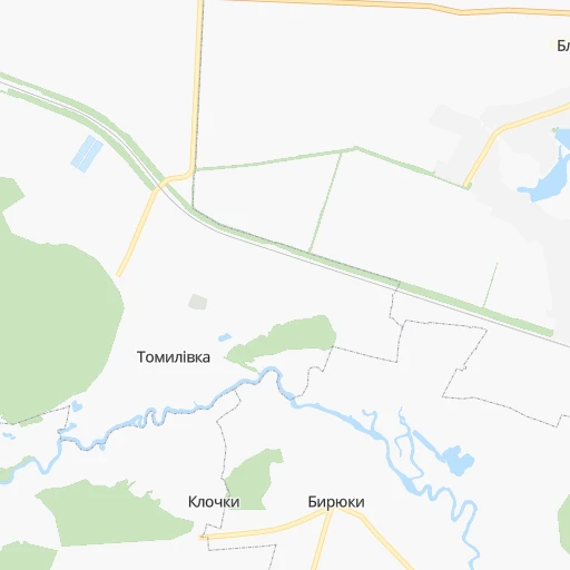

How to get from Stantsiya Tomilovka (Kyiv) to Vinnytsia (Vinnyts'ka)
Calculate route from Stantsiya Tomilovka (Kyiv, Ukraine) to Vinnytsia (Vinnyts'ka, Ukraine).
The flight distance (as the crow flies) between Stantsiya Tomilovka and Vinnytsia is 140.3 km.
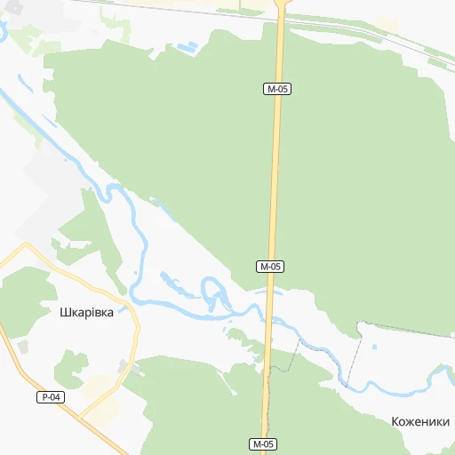
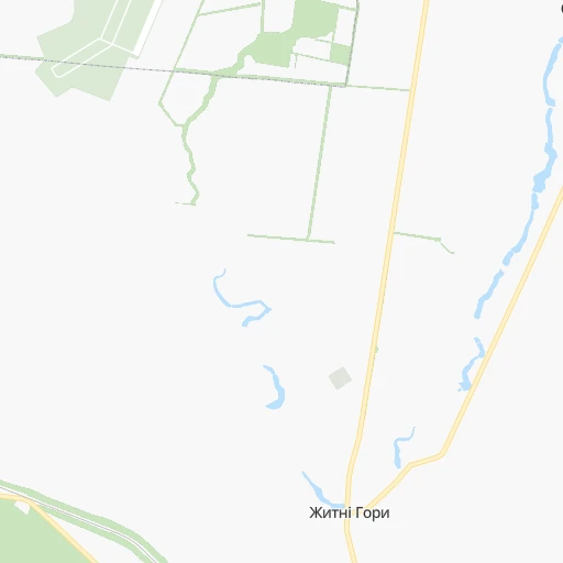
Roadmap (route) to go from Stantsiya Tomilovka to Vinnytsia detailed above, you can also see the course layout on the map.
While doing trip Stantsiya Tomilovka - Vinnytsia by car, the calculated route ends at a distance , or more straight.
Distance and duration of the route between Stantsiya Tomilovka and Vinnytsia
Calculation of distance and route from Vinnytsia to Stantsiya Tomilovka :
140.3175.0 km3h49mn
Continue 0h3mn 842 mContinue 0h3mn 871 mTurn left onto С-100214 0h3mn 2.4 kmTurn left onto Н-02 0h4mn 5.3 kmAt roundabout, take exit 3 onto проспект Незалежності 0h8mn 6.2 kmAt roundabout, take exit 2 onto вулиця Героїв 72-ї Бригади 0h4mn 4.1 kmContinue onto Олександрійський бульвар 0h0mn 188 mContinue onto Сквирське шосе 1h33mn 31.9 kmKeep left onto Н-02, Р-18 0h0mn 20 mTurn left onto Н-02 0h1mn 774 mTurn left onto Липовецька вулиця 0h1mn 816 mKeep right onto Самгородецька вулиця 0h25mn 24.5 kmTurn left onto Т-02-03 1h59mn 69.1 kmTurn right onto вулиця Маяковського 0h17mn 19.0 kmKeep left onto Р-33 0h0mn 327 mAt roundabout, take exit 1 onto Р-33 0h5mn 5.5 kmTurn right onto вулиця Лебединського 0h2mn 2.4 kmTurn left onto проспект Коцюбинського 0h1mn 521 mTurn sharp left 0h0mn 36 mTurn left 0h0mn 39 mTurn right 0h0mn 74 mTurn left 0h0mn 33 mArrive at destination 0h0mn 0 m
Travel from Stantsiya Tomilovka (Vinnyts'ka) to a selection of major cities.
Distances from Stantsiya Tomilovka to biggest cities in Kyiv
Other major cities in country :
- Sumy [21], 294,456 inhabitants. 348 km
- Zhytomyr [27], 282,192 inhabitants. 125 km
- Horlivka [05], 278,550 inhabitants. 592 km
- Rivne [19], 255,106 inhabitants. 301 km
- Kropyvnytskyi [10], 249,454 inhabitants. 203 km
- Kamianske [04], 248,575 inhabitants. 347 km
- Chernivtsi [03], 236,250 inhabitants. 354 km
- Ternopil [22], 235,676 inhabitants. 336 km
- Kremenchuk [18], 227,494 inhabitants. 243 km
- Lutsk [24], 213,661 inhabitants. 365 km
- Ivano-Frankivsk [06], 204,200 inhabitants. 412 km
- Kramators'k [05], 173,700 inhabitants. 544 km
- Melitopol [26], 158,000 inhabitants. 500 km
- Kerch [11], 148,932 inhabitants. 679 km
- Nikopol [04], 130,500 inhabitants. 392 km
- Syevyerodonets'k [14], 130,000 inhabitants. 605 km
- Sloviansk [05], 124,800 inhabitants. 544 km
- Berdyansk [26], 118,284 inhabitants. 590 km
- Uzhgorod [25], 117,878 inhabitants. 591 km
- Alchevs'k [14], 116,000 inhabitants. 641 km
Route from Vinnytsia to major cities (Ukraine).
- Distance Vinnytsia Kyiv200 km
- Distance Vinnytsia Kharkiv567 km
- Distance Vinnytsia Dnipro488 km
- Distance Vinnytsia Donetsk698 km
- Distance Vinnytsia Odessa350 km
- Distance Vinnytsia Zaporizhia519 km
- Distance Vinnytsia Lviv329 km
- Distance Vinnytsia Kryvyi Rih390 km
- Distance Vinnytsia Mykolayiv363 km
- Distance Vinnytsia Mariupol713 km
- Distance Vinnytsia Luhansk796 km
- Distance Vinnytsia Sevastopol643 km
- Distance Vinnytsia Khmelnytskyi110 km
- Distance Vinnytsia Makiyivka707 km
- Distance Vinnytsia Simferopol639 km
- Distance Vinnytsia Kherson421 km
- Distance Vinnytsia Poltava441 km
- Distance Vinnytsia Chernihiv322 km
- Distance Vinnytsia Cherkasy261 km
- Distance Vinnytsia Sumy489 km
Nearest cities to Stantsiya Tomilovka :
- Kyiv, 2,797,553 inhabitants. 79 km
- Mykolayiv, 510,840 inhabitants. 338 km
- Vinnytsia, 352,115 inhabitants. 141 km
- Chernihiv, 307,684 inhabitants. 207 km
- Cherkasy, 297,568 inhabitants. 137 km
- Zhytomyr, 282,192 inhabitants. 125 km
- Kropyvnytskyi, 249,454 inhabitants. 203 km
- Bila Tserkva, 199,163 inhabitants. 10 km
- Oleksandriya, 103,000 inhabitants. 242 km
- Konotop, 91,798 inhabitants. 266 km
- Brovary, 88,506 inhabitants. 92 km
- Uman, 87,658 inhabitants. 114 km
- Berdychiv, 86,250 inhabitants. 118 km
- Nizhyn, 75,499 inhabitants. 184 km
- Pervomays'k, 70,746 inhabitants. 197 km
- Smila, 67,530 inhabitants. 134 km
- Korosten', 65,000 inhabitants. 174 km
- Pryluky, 62,823 inhabitants. 178 km
- Novohrad-Volynskyi, 55,925 inhabitants. 208 km
- Boryspil', 55,000 inhabitants. 82 km
- Lubny, 52,600 inhabitants. 200 km
- Fastiv, 51,143 inhabitants. 41 km
- Bucha, 42,279 inhabitants. 86 km
- Voznesensk, 42,248 inhabitants. 258 km
- Irpin, 40,789 inhabitants. 83 km
- Podil's'k, 40,664 inhabitants. 231 km
- Vasylkiv, 39,700 inhabitants. 47 km
- Yuzhnoukrains'k, 39,430 inhabitants. 228 km
- Pereyaslav-Khmel'nyts'kyy, 36,527 inhabitants. 93 km
- Zhmerynka, 35,960 inhabitants. 174 km
- Boyarka, 34,631 inhabitants. 61 km
- Dolyns'ka, 34,267 inhabitants. 261 km
- Vyshneve, 33,183 inhabitants. 69 km
- Mohyliv-Podilskyi, 32,500 inhabitants. 231 km
- Obukhiv, 31,557 inhabitants. 46 km
- Znomenka, 28,318 inhabitants. 212 km
- Khmilnyk, 28,136 inhabitants. 166 km
- Zolotonosha, 27,722 inhabitants. 130 km
- Malyn, 27,068 inhabitants. 132 km
- Kaniv, 25,666 inhabitants. 88 km
- Kozyatyn, 25,645 inhabitants. 101 km
- Korostyshiv, 25,099 inhabitants. 104 km
- Slavutych, 25,000 inhabitants. 198 km
- Haisyn, 24,687 inhabitants. 123 km
- Bakhmach, 23,379 inhabitants. 242 km
- Yahotyn, 22,779 inhabitants. 123 km
- Polonne, 22,348 inhabitants. 199 km
- Vyshhorod, 22,080 inhabitants. 92 km
- Ladyzhyn, 21,393 inhabitants. 141 km
- Vatutine, 19,407 inhabitants. 103 km
Location Stantsiya Tomilovka (Kyiv) :
| Country flag |  |
| Location | Stantsiya Tomilovka |
| State | Kyiv |
| County | |
| Country | Ukraine |
| Country code / ISO 2 | UA |
| Latitude | 49.7717500 |
| Longitude | 30.2398600 |
| Altitude | 0 meters |
| Time zone | Europe/Kiev |
Location Vinnytsia (Vinnyts'ka) :
| Country flag | |
| Location | Vinnytsia |
| State | Vinnyts'ka |
| County | |
| Country | Ukraine |
| Country code / ISO 2 | UA |
| Latitude | 49.2327800 |
| Longitude | 28.4809700 |
| Altitude | 0 meters |
| Time zone | Europe/Kiev |

