

How to get from Stantsiya Tsenzhev (Ivano-Frankivsk) to Netishyn (Khmelnytskyi)
Calculate route from Stantsiya Tsenzhev (Ivano-Frankivsk, Ukraine) to Netishyn (Khmelnytskyi, Ukraine).
The flight distance (as the crow flies) between Stantsiya Tsenzhev and Netishyn is 209.3 km.
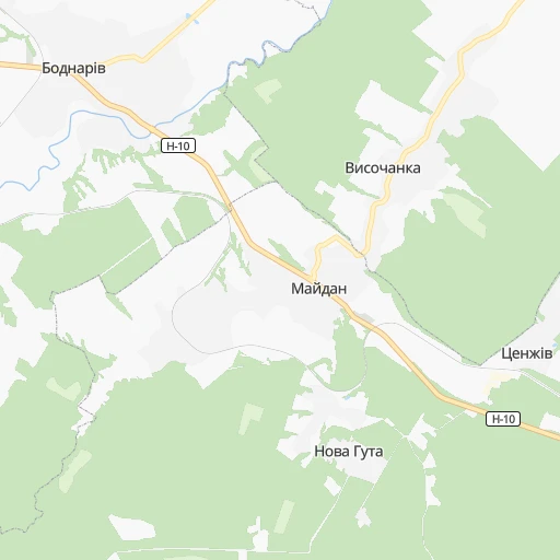
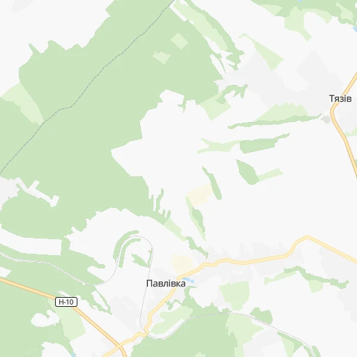
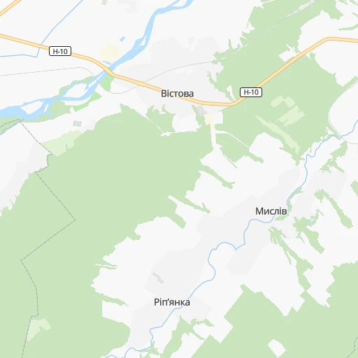
Roadmap (route) to go from Stantsiya Tsenzhev to Netishyn detailed above, you can also see the course layout on the map.
While doing trip Stantsiya Tsenzhev - Netishyn by car, the calculated route ends at a distance , or more straight.
Distance and duration of the route between Stantsiya Tsenzhev and Netishyn
Calculation of distance and route from Netishyn to Stantsiya Tsenzhev :
209.3270.1 km5h44mn
Continue 0h2mn 433 mTurn left 0h5mn 1.2 kmTurn right 0h4mn 1.1 kmTurn right 0h1mn 261 mTurn left 0h0mn 114 mTurn left 0h0mn 55 mTurn right onto О-090302 0h8mn 4.4 kmTurn sharp left 0h2mn 1.2 kmTurn right onto Т-09-07 0h12mn 12.0 kmKeep right onto Галицька вулиця 0h1mn 866 mAt roundabout, take exit 3 onto Н-09 0h1mn 1.1 kmTurn right onto вулиця Богдана Хмельницького 0h0mn 59 mTurn left onto вулиця Івана Мазепи 0h0mn 166 mTurn right onto вулиця Сотника Чорноти 0h1mn 525 mTurn right onto вулиця Дмитра Вітовського 0h5mn 4.8 kmTurn right onto Т-09-03 1h35mn 35.5 kmAt roundabout, take exit 1 onto Т-09-03, Т-20-04 0h0mn 272 mTurn left onto Т-09-03 0h18mn 17.7 kmAt roundabout, take exit 3 onto Т-20-06 0h24mn 23.8 kmKeep right and take M-12 toward Тернопіль 0h0mn 99 mTurn slight right onto М-30 0h18mn 15.9 kmContinue onto Бережанська вулиця 0h2mn 1.4 kmContinue onto майдан Перемоги 0h1mn 524 mAt roundabout, take exit 2 0h3mn 2.2 kmTurn left onto вулиця Вояків Дивізії Галичина 0h0mn 248 mTurn right onto Паркова вулиця 0h0mn 223 mTurn left onto Весела вулиця 0h0mn 67 mTurn right onto вулиця Петрушевича 0h0mn 287 mTurn slight right onto вулиця Коцюбинського 0h0mn 17 mKeep right onto вулиця Коцюбинського 0h0mn 80 mTurn left onto вулиця Квітки Цісик 0h1mn 1.0 kmAt roundabout, take exit 3 onto вулиця Генерала М. Тарнавського 0h0mn 191 mTurn right onto вулиця Генерала М. Тарнавського 0h2mn 1.5 kmKeep right 0h1mn 701 mTurn right onto Р-41 0h0mn 242 mAt roundabout, take exit 2 onto М-19 0h6mn 7.9 kmKeep right 0h0mn 100 mContinue onto Р-43 1h39mn 45.2 kmTurn right onto вулиця Миру 0h10mn 10.9 kmKeep left onto Т-20-08 0h8mn 7.6 kmTurn left onto Т-20-08 0h6mn 6.2 kmTurn right onto Т-20-08 0h2mn 2.3 kmTurn right onto Р-26 0h8mn 7.8 kmAt roundabout, take exit 2 onto Р-26 0h1mn 649 mAt roundabout, take exit 1 onto Р-26 1h43mn 41.3 kmTurn right onto проспект Незалежності 0h0mn 218 mTurn left onto Татарська вулиця 0h0mn 137 mTurn right onto Східна вулиця 0h9mn 7.9 kmTurn right onto вулиця Космонавтів 0h1mn 844 mTurn right onto Старонетішинська вулиця 0h0mn 304 mTurn left onto Підгірна вулиця 0h1mn 381 mArrive at destination 0h0mn 0 m
Travel from Stantsiya Tsenzhev (Khmelnytskyi) to a selection of major cities.
Distances from Stantsiya Tsenzhev to biggest cities in Ivano-Frankivsk
Other major cities in country :
- Sumy [21], 294,456 inhabitants. 761 km
- Zhytomyr [27], 282,192 inhabitants. 326 km
- Horlivka [05], 278,550 inhabitants. 991 km
- Rivne [19], 255,106 inhabitants. 215 km
- Kropyvnytskyi [10], 249,454 inhabitants. 565 km
- Kamianske [04], 248,575 inhabitants. 736 km
- Chernivtsi [03], 236,250 inhabitants. 127 km
- Ternopil [22], 235,676 inhabitants. 95 km
- Kremenchuk [18], 227,494 inhabitants. 644 km
- Lutsk [24], 213,661 inhabitants. 203 km
- Bila Tserkva [13], 199,163 inhabitants. 410 km
- Kramators'k [05], 173,700 inhabitants. 949 km
- Melitopol [26], 158,000 inhabitants. 838 km
- Kerch [11], 148,932 inhabitants. 985 km
- Nikopol [04], 130,500 inhabitants. 743 km
- Syevyerodonets'k [14], 130,000 inhabitants. 1,014 km
- Sloviansk [05], 124,800 inhabitants. 951 km
- Berdyansk [26], 118,284 inhabitants. 943 km
- Uzhgorod [25], 117,878 inhabitants. 174 km
- Alchevs'k [14], 116,000 inhabitants. 1,044 km
Route from Netishyn to major cities (Ukraine).
- Distance Netishyn Kyiv276 km
- Distance Netishyn Kharkiv686 km
- Distance Netishyn Dnipro643 km
- Distance Netishyn Donetsk851 km
- Distance Netishyn Odessa525 km
- Distance Netishyn Zaporizhia683 km
- Distance Netishyn Lviv195 km
- Distance Netishyn Kryvyi Rih560 km
- Distance Netishyn Mykolayiv544 km
- Distance Netishyn Mariupol877 km
- Distance Netishyn Luhansk937 km
- Distance Netishyn Sevastopol823 km
- Distance Netishyn Makiyivka859 km
- Distance Netishyn Vinnytsia181 km
- Distance Netishyn Simferopol819 km
- Distance Netishyn Kherson602 km
- Distance Netishyn Poltava571 km
- Distance Netishyn Chernihiv351 km
- Distance Netishyn Cherkasy402 km
- Distance Netishyn Sumy579 km
Nearest cities to Stantsiya Tsenzhev :
- Lviv, 717,803 inhabitants. 102 km
- Khmelnytskyi, 398,346 inhabitants. 181 km
- Rivne, 255,106 inhabitants. 215 km
- Chernivtsi, 236,250 inhabitants. 127 km
- Ternopil, 235,676 inhabitants. 95 km
- Lutsk, 213,661 inhabitants. 203 km
- Ivano-Frankivsk, 204,200 inhabitants. 12 km
- Uzhgorod, 117,878 inhabitants. 174 km
- Kamianets-Podilskyi, 100,000 inhabitants. 150 km
- Chervonohrad, 83,000 inhabitants. 157 km
- Mukacheve, 81,633 inhabitants. 151 km
- Drohobych, 79,406 inhabitants. 88 km
- Kalush, 67,698 inhabitants. 16 km
- Kovel, 66,400 inhabitants. 247 km
- Kolomyia, 61,781 inhabitants. 62 km
- Stryi, 61,404 inhabitants. 61 km
- Novovolyns'k, 57,800 inhabitants. 195 km
- Shepetivka, 46,419 inhabitants. 222 km
- Varash, 42,000 inhabitants. 276 km
- Volodymyr-Volynskyi, 38,256 inhabitants. 207 km
- Dubno, 37,690 inhabitants. 178 km
- Boryslav, 36,704 inhabitants. 90 km
- Sambir, 35,197 inhabitants. 117 km
- Starokostiantyniv, 33,897 inhabitants. 207 km
- Slavuta, 33,080 inhabitants. 218 km
- Netishyn, 33,063 inhabitants. 210 km
- Kostopil', 30,500 inhabitants. 248 km
- Chortkiv, 28,855 inhabitants. 88 km
- Novoyavorivs'k, 28,807 inhabitants. 127 km
- Khust, 27,999 inhabitants. 132 km
- Vynohradiv, 27,600 inhabitants. 150 km
- Sarny, 27,097 inhabitants. 297 km
- Truskavets', 26,600 inhabitants. 85 km
- Berehove, 25,741 inhabitants. 169 km
- Zdolbuniv, 23,697 inhabitants. 207 km
- Brody, 23,239 inhabitants. 127 km
- Zolochiv, 22,608 inhabitants. 92 km
- Polonne, 22,348 inhabitants. 245 km
- Sokal', 21,451 inhabitants. 166 km
- Kremenets, 21,000 inhabitants. 147 km
- Dolyna, 20,696 inhabitants. 43 km
- Nadvirna, 20,154 inhabitants. 41 km
- Stebnyk, 20,087 inhabitants. 82 km
- Krasyliv, 19,815 inhabitants. 187 km
- Izyaslav, 17,758 inhabitants. 203 km
- Horodok, 17,086 inhabitants. 146 km
- Berezhani, 16,962 inhabitants. 56 km
- Kivertsi, 16,509 inhabitants. 213 km
- Svalyava, 16,507 inhabitants. 128 km
- Horodok, 15,993 inhabitants. 111 km
Location Stantsiya Tsenzhev (Ivano-Frankivsk) :
| Country flag |  |
| Location | Stantsiya Tsenzhev |
| State | Ivano-Frankivsk |
| County | |
| Country | Ukraine |
| Country code / ISO 2 | UA |
| Latitude | 49.0009200 |
| Longitude | 24.5953200 |
| Altitude | 0 meters |
| Time zone | Europe/Uzhgorod |
Location Netishyn (Khmelnytskyi) :
| Country flag | |
| Location | Netishyn |
| State | Khmelnytskyi |
| County | |
| Country | Ukraine |
| Country code / ISO 2 | UA |
| Latitude | 50.3400400 |
| Longitude | 26.6417100 |
| Altitude | 0 meters |
| Time zone | Europe/Kiev |