
How to get from Stantsiya Zvenyhorodka (Cherkasy) to Mykolayiv (Mykolaiv)
Calculate route from Stantsiya Zvenyhorodka (Cherkasy, Ukraine) to Mykolayiv (Mykolaiv, Ukraine).
The flight distance (as the crow flies) between Stantsiya Zvenyhorodka and Mykolayiv is 236.4 km.
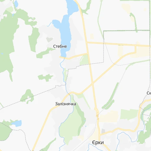
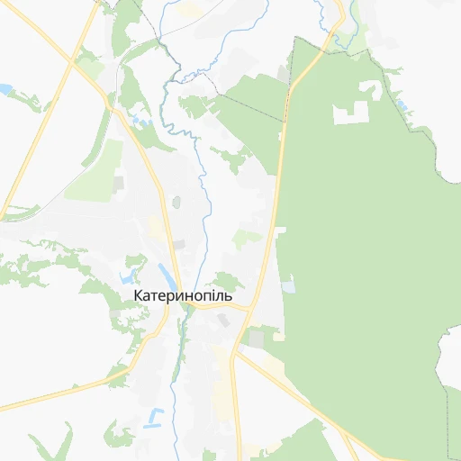
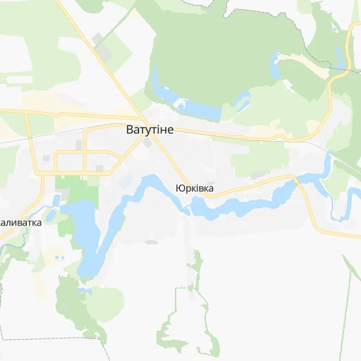
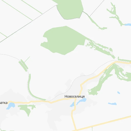
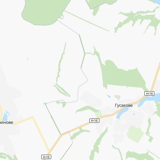
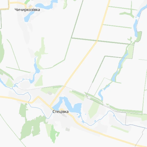
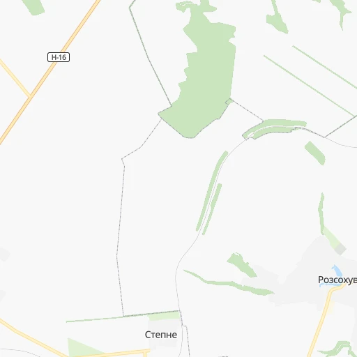
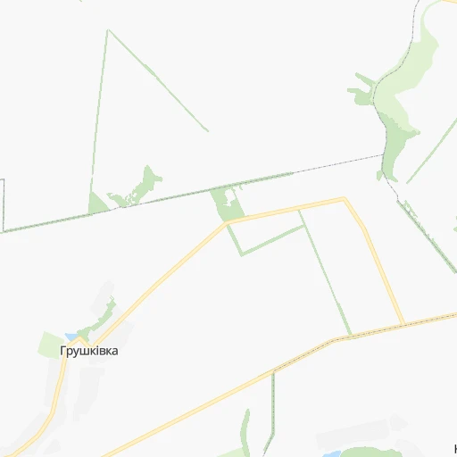
Roadmap (route) to go from Stantsiya Zvenyhorodka to Mykolayiv detailed above, you can also see the course layout on the map.
While doing trip Stantsiya Zvenyhorodka - Mykolayiv by car, the calculated route ends at a distance , or more straight.
Distance and duration of the route between Stantsiya Zvenyhorodka and Mykolayiv
Calculation of distance and route from Mykolayiv to Stantsiya Zvenyhorodka :
236.4280.2 km5h38mn
Continue 0h0mn 88 mTurn sharp right onto Вишнева вулиця 0h1mn 573 mTurn left 0h1mn 508 mTurn left 0h0mn 189 mTurn right onto вулиця Шевченка 0h0mn 89 mTurn left 0h1mn 651 mKeep left 0h0mn 23 mKeep right 0h0mn 22 mTurn slight right onto Т-24-11 0h3mn 3.1 kmKeep left 0h0mn 54 mTurn right onto Черкаська вулиця 0h1mn 596 mContinue onto Козацька вулиця 0h6mn 4.7 kmTurn right onto О240812-1 0h1mn 776 mKeep left 0h6mn 4.8 kmTurn left onto О240808-1 0h1mn 476 mTurn slight right onto О240809-1 0h2mn 1.8 kmKeep left onto вулиця Олега Солодуна 0h12mn 9.7 kmTurn sharp right onto Центральна вулиця 0h17mn 17.5 kmTurn left onto вулиця Слави 0h23mn 22.5 kmKeep right onto Т-12-19 1h31mn 30.7 kmAt roundabout, take exit 1 onto Т-12-08, Т-12-19 0h1mn 580 mTurn left onto Центральна вулиця 0h1mn 828 mKeep left onto вулиця Алфатар 0h12mn 9.8 kmContinue onto Степова вулиця 0h0mn 94 mTurn sharp right onto С151810 0h1mn 327 mKeep right onto С151810 0h1mn 1.0 kmTurn left onto О151813 0h5mn 4.3 kmTurn right onto Т-15-04 0h0mn 308 mTurn left onto Київська вулиця 0h5mn 3.5 kmContinue onto Центральна вулиця 0h20mn 18.7 kmTurn slight right onto С150110 0h0mn 79 mTurn left onto Н-24 0h15mn 20.1 kmKeep left onto Н-24 0h2mn 3.0 kmKeep left onto Н-24 0h7mn 9.6 kmKeep right 0h2mn 1.9 kmTurn right onto Першотравнева вулиця 0h2mn 1.7 kmTurn left onto Озерна вулиця 0h0mn 57 mTurn right onto вулиця Генерала Подзігуна 0h10mn 9.7 kmAt roundabout, take exit 1 onto Н-24 0h7mn 5.0 kmTurn right onto вулиця Танасчишина 0h1mn 395 mTurn left onto вулиця Соборності 0h4mn 3.2 kmTurn right onto Болгарська вулиця 1h7mn 80.3 kmAt roundabout, take exit 2 onto проспект Героїв України 0h6mn 4.7 kmTurn left onto Адміральська вулиця 0h1mn 706 mTurn right onto Маріупольська вулиця 0h1mn 963 mTurn left onto Центральний проспект 0h1mn 467 mArrive at destination 0h0mn 0 m
Travel from Stantsiya Zvenyhorodka (Mykolaiv) to a selection of major cities.
Distances from Stantsiya Zvenyhorodka to biggest cities in Cherkasy
Other major cities in country :
- Zhytomyr [27], 282,192 inhabitants. 219 km
- Horlivka [05], 278,550 inhabitants. 525 km
- Rivne [19], 255,106 inhabitants. 387 km
- Kropyvnytskyi [10], 249,454 inhabitants. 107 km
- Kamianske [04], 248,575 inhabitants. 271 km
- Chernivtsi [03], 236,250 inhabitants. 379 km
- Ternopil [22], 235,676 inhabitants. 397 km
- Kremenchuk [18], 227,494 inhabitants. 178 km
- Lutsk [24], 213,661 inhabitants. 450 km
- Ivano-Frankivsk [06], 204,200 inhabitants. 459 km
- Bila Tserkva [13], 199,163 inhabitants. 112 km
- Kramators'k [05], 173,700 inhabitants. 482 km
- Melitopol [26], 158,000 inhabitants. 404 km
- Kerch [11], 148,932 inhabitants. 579 km
- Nikopol [04], 130,500 inhabitants. 298 km
- Syevyerodonets'k [14], 130,000 inhabitants. 549 km
- Sloviansk [05], 124,800 inhabitants. 485 km
- Berdyansk [26], 118,284 inhabitants. 499 km
- Uzhgorod [25], 117,878 inhabitants. 638 km
- Alchevs'k [14], 116,000 inhabitants. 578 km
Route from Mykolayiv to major cities (Ukraine).
- Distance Mykolayiv Kyiv403 km
- Distance Mykolayiv Kharkiv459 km
- Distance Mykolayiv Dnipro282 km
- Distance Mykolayiv Donetsk452 km
- Distance Mykolayiv Odessa111 km
- Distance Mykolayiv Zaporizhia259 km
- Distance Mykolayiv Lviv670 km
- Distance Mykolayiv Kryvyi Rih148 km
- Distance Mykolayiv Mariupol421 km
- Distance Mykolayiv Luhansk576 km
- Distance Mykolayiv Sevastopol290 km
- Distance Mykolayiv Khmelnytskyi461 km
- Distance Mykolayiv Makiyivka462 km
- Distance Mykolayiv Vinnytsia363 km
- Distance Mykolayiv Simferopol277 km
- Distance Mykolayiv Kherson59 km
- Distance Mykolayiv Poltava348 km
- Distance Mykolayiv Chernihiv508 km
- Distance Mykolayiv Cherkasy274 km
- Distance Mykolayiv Sumy486 km
Nearest cities to Stantsiya Zvenyhorodka :
- Kyiv, 2,797,553 inhabitants. 167 km
- Odessa, 1,001,558 inhabitants. 279 km
- Kryvyi Rih, 652,380 inhabitants. 213 km
- Mykolayiv, 510,840 inhabitants. 237 km
- Vinnytsia, 352,115 inhabitants. 184 km
- Kherson, 320,477 inhabitants. 286 km
- Chernihiv, 307,684 inhabitants. 282 km
- Cherkasy, 297,568 inhabitants. 93 km
- Zhytomyr, 282,192 inhabitants. 219 km
- Kropyvnytskyi, 249,454 inhabitants. 107 km
- Kremenchuk, 227,494 inhabitants. 178 km
- Bila Tserkva, 199,163 inhabitants. 112 km
- Oleksandriya, 103,000 inhabitants. 160 km
- Konotop, 91,798 inhabitants. 297 km
- Brovary, 88,506 inhabitants. 171 km
- Uman, 87,658 inhabitants. 61 km
- Berdychiv, 86,250 inhabitants. 200 km
- Shostka, 85,432 inhabitants. 366 km
- Nizhyn, 75,499 inhabitants. 239 km
- Pervomays'k, 70,746 inhabitants. 105 km
- Smila, 67,530 inhabitants. 71 km
- Korosten', 65,000 inhabitants. 277 km
- Pryluky, 62,823 inhabitants. 206 km
- Boryspil', 55,000 inhabitants. 153 km
- Chornomors'k, 54,102 inhabitants. 299 km
- Lubny, 52,600 inhabitants. 186 km
- Horishni Plavni, 51,740 inhabitants. 194 km
- Zhovti Vody, 51,559 inhabitants. 198 km
- Fastiv, 51,143 inhabitants. 144 km
- Nova Kakhovka, 50,672 inhabitants. 304 km
- Bilhorod-Dnistrovskyi, 50,201 inhabitants. 314 km
- Romny, 48,570 inhabitants. 266 km
- Svitlovods'k, 47,946 inhabitants. 165 km
- Bucha, 42,279 inhabitants. 182 km
- Voznesensk, 42,248 inhabitants. 160 km
- Myrhorod, 41,377 inhabitants. 219 km
- Irpin, 40,789 inhabitants. 179 km
- Podil's'k, 40,664 inhabitants. 174 km
- Vasylkiv, 39,700 inhabitants. 143 km
- Yuzhnoukrains'k, 39,430 inhabitants. 130 km
- Kakhovka, 36,816 inhabitants. 305 km
- Pereyaslav-Khmel'nyts'kyy, 36,527 inhabitants. 125 km
- Zhmerynka, 35,960 inhabitants. 210 km
- Hlukhiv, 35,387 inhabitants. 365 km
- Boyarka, 34,631 inhabitants. 157 km
- Dolyns'ka, 34,267 inhabitants. 163 km
- Vyshneve, 33,183 inhabitants. 163 km
- Obukhiv, 31,557 inhabitants. 128 km
- Tsyurupyns'k, 28,800 inhabitants. 293 km
- Znomenka, 28,318 inhabitants. 127 km
Location Stantsiya Zvenyhorodka (Cherkasy) :
| Country flag |  |
| Location | Stantsiya Zvenyhorodka |
| State | Cherkasy |
| County | |
| Country | Ukraine |
| Country code / ISO 2 | UA |
| Latitude | 48.9818100 |
| Longitude | 30.9828400 |
| Altitude | 0 meters |
| Time zone | Europe/Kiev |
Location Mykolayiv (Mykolaiv) :
| Country flag | |
| Location | Mykolayiv |
| State | Mykolaiv |
| County | |
| Country | Ukraine |
| Country code / ISO 2 | UA |
| Latitude | 46.9659100 |
| Longitude | 31.9974000 |
| Altitude | 0 meters |
| Time zone | Europe/Kiev |


