

How to get from Īstgāh-e Rāhāhan-e Sīāh Cheshmeh (Qazvīn) to Alvand (Zanjan)
Calculate route from Īstgāh-e Rāhāhan-e Sīāh Cheshmeh (Qazvīn, Iran) to Alvand (Zanjan, Iran).
The flight distance (as the crow flies) between Īstgāh-e Rāhāhan-e Sīāh Cheshmeh and Alvand is 62.7 km.
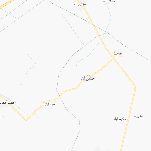
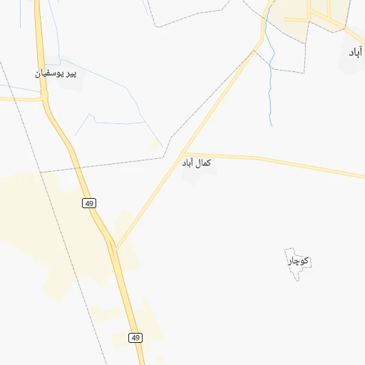
Roadmap (route) to go from Īstgāh-e Rāhāhan-e Sīāh Cheshmeh to Alvand detailed above, you can also see the course layout on the map.
While doing trip Īstgāh-e Rāhāhan-e Sīāh Cheshmeh - Alvand by car, the calculated route ends at a distance , or more straight.
Distance and duration of the route between Īstgāh-e Rāhāhan-e Sīāh Cheshmeh and Alvand
Calculation of distance and route from Alvand to Īstgāh-e Rāhāhan-e Sīāh Cheshmeh :
62.792.9 km1h60mn
Continue 0h2mn 983 mTurn right onto تاکستان - اقبالیه - قزوین 0h2mn 3.2 kmKeep right 0h0mn 205 mTurn sharp left 0h9mn 14.2 kmTurn right onto صنعت ۱۳ 0h2mn 929 mTurn right onto آزادراه قزوین - زنجان 1h37mn 67.1 kmKeep right 0h0mn 298 mTurn sharp left 0h0mn 294 mAt roundabout, take exit 2 0h7mn 5.5 kmContinue 0h0mn 191 mTurn left 0h0mn 34 mArrive at destination 0h0mn 0 m
Travel from Īstgāh-e Rāhāhan-e Sīāh Cheshmeh (Zanjan) to a selection of major cities.
Distances from Īstgāh-e Rāhāhan-e Sīāh Cheshmeh to biggest cities in Qazvīn
Other major cities in country :
- Abadan [15], 370,180 inhabitants. 664 km
- Zanjan [36], 357,471 inhabitants. 133 km
- Bandar Abbas [11], 352,173 inhabitants. 1,170 km
- Sanandaj [16], 349,176 inhabitants. 274 km
- Khorramshahr [15], 330,606 inhabitants. 655 km
- Khorramabad [23], 329,825 inhabitants. 327 km
- Khomeyni Shahr [28], 277,334 inhabitants. 417 km
- Sari [35], 255,396 inhabitants. 292 km
- Borujerd [23], 251,958 inhabitants. 271 km
- Qarchak [26], 251,834 inhabitants. 177 km
- Gorgan [37], 244,937 inhabitants. 419 km
- Sabzevar [42], 226,183 inhabitants. 704 km
- Najafabad [28], 223,450 inhabitants. 417 km
- Neyshabur [42], 220,929 inhabitants. 804 km
- Nazarabad [44], 213,388 inhabitants. 73 km
- Bukan [01], 213,331 inhabitants. 328 km
- Sirjan [29], 207,645 inhabitants. 925 km
- Babol [35], 202,796 inhabitants. 258 km
- Amol [35], 199,382 inhabitants. 228 km
- Birjand [41], 196,982 inhabitants. 935 km
Route from Alvand to major cities (Iran).
- Distance Alvand Tehran215 km
- Distance Alvand Mashhad932 km
- Distance Alvand Isfahan468 km
- Distance Alvand Karaj173 km
- Distance Alvand Tabriz322 km
- Distance Alvand Shiraz810 km
- Distance Alvand Qom243 km
- Distance Alvand Ahvaz558 km
- Distance Alvand Pasragad Branch183 km
- Distance Alvand Kahriz288 km
- Distance Alvand Kermanshah294 km
- Distance Alvand Rasht113 km
- Distance Alvand Kerman996 km
- Distance Alvand Orumiyeh389 km
- Distance Alvand Zahedan1,329 km
- Distance Alvand Hamadan179 km
- Distance Alvand Azadshahr179 km
- Distance Alvand Arak252 km
- Distance Alvand Yazd687 km
- Distance Alvand Ardabil228 km
Nearest cities to Īstgāh-e Rāhāhan-e Sīāh Cheshmeh :
- Tehran, 7,153,309 inhabitants. 152 km
- Karaj, 1,448,075 inhabitants. 110 km
- Qom, 900,000 inhabitants. 194 km
- Pasragad Branch, 787,878 inhabitants. 198 km
- Kahriz, 766,706 inhabitants. 321 km
- Kermanshah, 621,100 inhabitants. 326 km
- Rasht, 594,590 inhabitants. 126 km
- Hamadan, 528,256 inhabitants. 194 km
- Azadshahr, 514,102 inhabitants. 191 km
- Arak, 503,647 inhabitants. 231 km
- Ardabil, 410,753 inhabitants. 270 km
- Zanjan, 357,471 inhabitants. 133 km
- Sanandaj, 349,176 inhabitants. 274 km
- Qazvin, 333,635 inhabitants. 19 km
- Khorramabad, 329,825 inhabitants. 327 km
- Borujerd, 251,958 inhabitants. 271 km
- Qarchak, 251,834 inhabitants. 177 km
- Nazarabad, 213,388 inhabitants. 73 km
- Babol, 202,796 inhabitants. 258 km
- Amol, 199,382 inhabitants. 228 km
- Varamin, 179,603 inhabitants. 188 km
- Malayer, 176,573 inhabitants. 227 km
- Saveh, 175,533 inhabitants. 135 km
- Bandar-e Anzali, 110,826 inhabitants. 150 km
- Kuhdasht, 100,208 inhabitants. 357 km
- Ahar, 94,348 inhabitants. 356 km
- Aligudarz, 91,041 inhabitants. 307 km
- Qorveh, 87,953 inhabitants. 215 km
- Shahre Jadide Andisheh, 80,000 inhabitants. 119 km
- Khomeyn, 77,425 inhabitants. 281 km
- Nahavand, 76,250 inhabitants. 257 km
- Alvand, 74,889 inhabitants. 63 km
- Nurabad, 73,528 inhabitants. 288 km
- Takestan, 71,499 inhabitants. 17 km
- Abhar, 69,889 inhabitants. 56 km
- Chalus, 69,638 inhabitants. 152 km
- Langarud, 68,148 inhabitants. 118 km
- Robat Karim, 62,753 inhabitants. 135 km
- Kamyaran, 61,642 inhabitants. 304 km
- Asadabad, 59,617 inhabitants. 219 km
- Shahriar, 58,849 inhabitants. 123 km
- Harsin, 57,647 inhabitants. 294 km
- Malard, 56,745 inhabitants. 116 km
- Abyek, 55,128 inhabitants. 65 km
- Bijar, 53,871 inhabitants. 204 km
- Pishva, 53,856 inhabitants. 195 km
- Kangavar, 53,414 inhabitants. 251 km
- Takab, 51,541 inhabitants. 246 km
- Khalkhal, 51,024 inhabitants. 200 km
- Khorramdarreh, 50,528 inhabitants. 58 km
Location Īstgāh-e Rāhāhan-e Sīāh Cheshmeh (Qazvīn) :
| Country flag |  |
| Location | Īstgāh-e Rāhāhan-e Sīāh Cheshmeh |
| State | Qazvīn |
| County | |
| Country | Iran |
| Country code / ISO 2 | IR |
| Latitude | 36.1623500 |
| Longitude | 49.8403300 |
| Altitude | 0 meters |
| Time zone | Asia/Tehran |
Location Alvand (Zanjan) :
| Country flag | |
| Location | Alvand |
| State | Zanjan |
| County | |
| Country | Iran |
| Country code / ISO 2 | IR |
| Latitude | 36.3188500 |
| Longitude | 49.1677300 |
| Altitude | 0 meters |
| Time zone | Asia/Tehran |