
How to get from Châtillon-sur-Seine (Bourgogne-Franche-Comté) to Saint-Leu (Bourgogne-Franche-Comté)
Calculate route from Châtillon-sur-Seine (Bourgogne-Franche-Comté, France) to Saint-Leu (Bourgogne-Franche-Comté, France).
The flight distance (as the crow flies) between Châtillon-sur-Seine and Saint-Leu is 124.4 km.
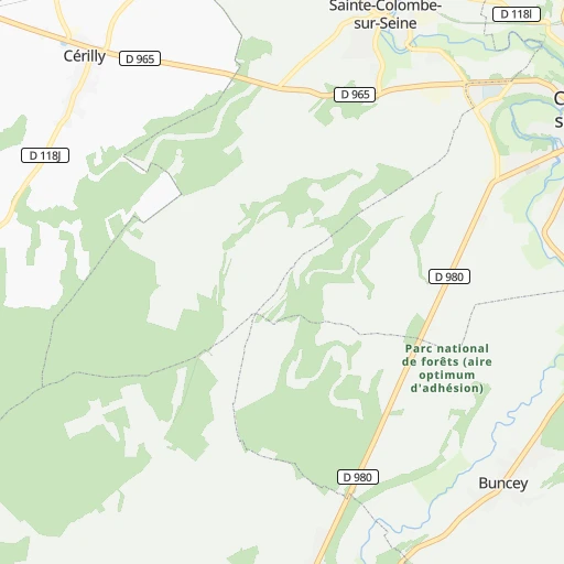
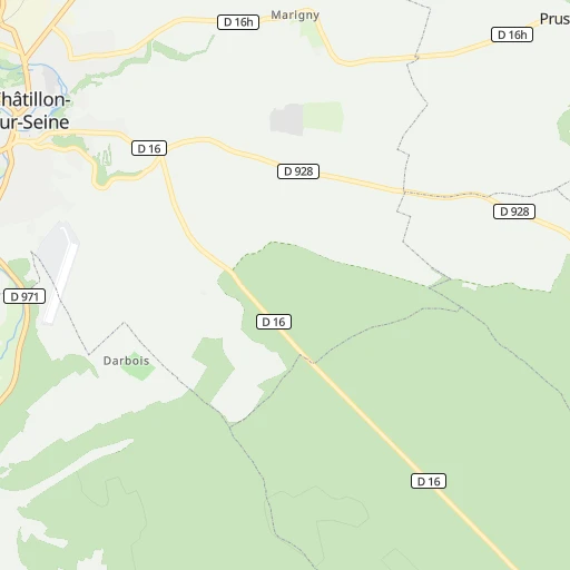
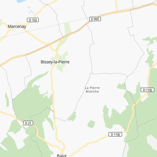
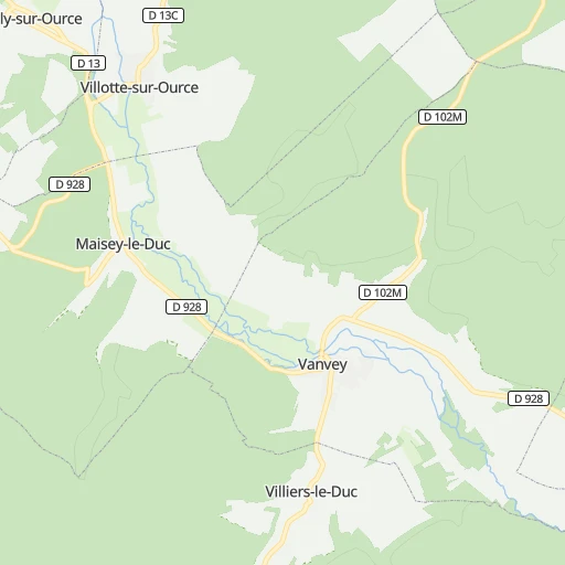
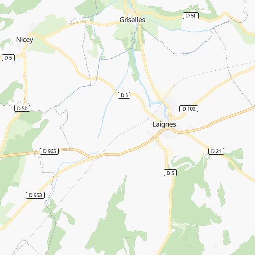
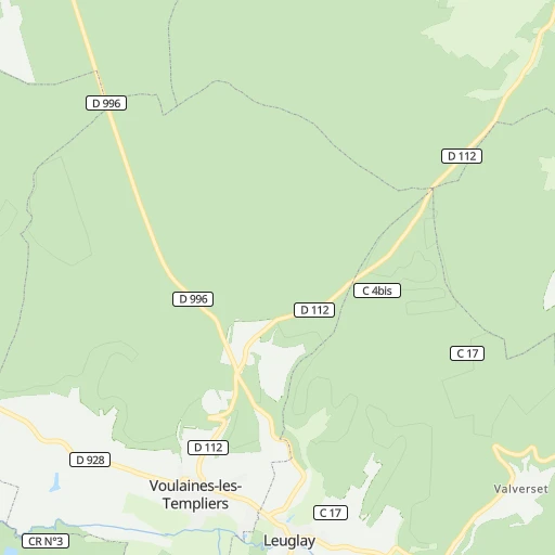
Roadmap (route) to go from Châtillon-sur-Seine to Saint-Leu detailed above, you can also see the course layout on the map.
While doing trip Châtillon-sur-Seine - Saint-Leu by car, the calculated route ends at a distance , or more straight.
Distance and duration of the route between Châtillon-sur-Seine and Saint-Leu
Calculation of distance and route from Saint-Leu to Châtillon-sur-Seine :
124.4157.4 km2h17mn
Continue 0h2mn 434 mTurn right onto D 980 0h25mn 30.6 kmTurn left onto Rue de Dijon 0h0mn 11 mTurn right onto Rue Paul Langevin 0h0mn 28 mTurn right onto Rue Paul Langevin 0h0mn 171 mAt roundabout, take exit 1 onto Rue Georges Loye 0h0mn 165 mTurn sharp left onto Rue d'Abrantès 0h0mn 368 mTurn right onto Rue Carnot 0h0mn 259 mTurn right onto Avenue du Maréchal Leclerc 0h1mn 808 mAt roundabout, take exit 3 onto Route de Semur 0h13mn 16.0 kmAt roundabout, take exit 3 onto D 980 0h6mn 7.5 kmTurn right 0h0mn 272 mKeep left 0h15mn 28.9 kmKeep right and take A 38 toward Dijon, Autun, Pouilly en Auxois 0h1mn 1.2 kmKeep right and drive toward Autun, Pouilly en A., Saulieu 0h0mn 197 mAt roundabout, take exit 2 onto D 981 0h1mn 869 mAt roundabout, take exit 2 onto D 981 0h11mn 14.2 kmTurn left onto Rue Saint-Jacques 0h0mn 286 mTurn right onto Rue César Lavirotte 0h0mn 158 mKeep left onto Rue César Lavirotte 0h1mn 257 mTurn left onto Place Bonaventure des Périers 0h0mn 15 mTurn right onto Rue Saint-Honoré 0h0mn 180 mTurn slight right onto Rue Jacques Seure 0h1mn 838 mTurn left onto D 36 0h18mn 17.8 kmTurn right onto Rue Roger Salengro 0h2mn 2.0 kmTurn right onto Avenue Maréchal de Lattre de Tassigny 0h0mn 9 mTurn left onto D 43 0h5mn 5.0 kmTurn right onto D 343 0h5mn 5.4 kmKeep left onto Route de Saint-Pierre 0h5mn 5.9 kmKeep right onto Avenue Jules Pernette 0h4mn 4.4 kmTurn left onto D 431 0h1mn 1.1 kmKeep left onto Route de Marmagne 0h0mn 312 mTurn right onto Route de Couches 0h0mn 466 mTurn left onto Route du Bois de Lanverne 0h2mn 1.5 kmTurn left onto Rue du Pavillon 0h0mn 383 mTurn left onto Rue du Creusot 0h5mn 4.3 kmTurn left onto Route du Bois Gendarme 0h0mn 372 mTurn right onto D 290 0h1mn 1.3 kmTurn right onto Avenue de l'Europe 0h0mn 123 mAt roundabout, take exit 3 onto D 680 0h1mn 774 mAt roundabout, take exit 2 onto Rond-Point Jeanne Rose 0h0mn 230 mTurn right onto D 18 0h0mn 88 mTurn right onto Route du Pont Jeanne Rose 0h0mn 391 mTurn right onto Route du Pont Jeanne Rose 0h0mn 260 mTurn left 0h3mn 859 mTurn slight left 0h1mn 292 mTurn right 0h1mn 442 mTurn sharp right 0h0mn 28 mArrive at destination 0h0mn 0 m
Travel from Châtillon-sur-Seine (Bourgogne-Franche-Comté) to a selection of major cities.
Distances from Châtillon-sur-Seine to biggest cities in Bourgogne-Franche-Comté
Other major cities in country :
- Saint-Quentin-en-Yvelines [11], 146,598 inhabitants. 214 km
- Brest [53], 144,899 inhabitants. 674 km
- Le Mans [52], 144,515 inhabitants. 325 km
- Amiens [32], 143,086 inhabitants. 281 km
- Tours [24], 141,621 inhabitants. 293 km
- Limoges [75], 141,176 inhabitants. 337 km
- Clermont-Ferrand [84], 138,681 inhabitants. 256 km
- Villeurbanne [84], 131,445 inhabitants. 233 km
- Orleans [24], 124,149 inhabitants. 198 km
- Metz [44], 123,914 inhabitants. 185 km
- Rouen [28], 112,787 inhabitants. 310 km
- Mulhouse [44], 111,430 inhabitants. 208 km
- Perpignan [76], 110,706 inhabitants. 588 km
- Caen [28], 110,624 inhabitants. 391 km
- Boulogne-Billancourt [11], 108,782 inhabitants. 202 km
- Nancy [44], 105,334 inhabitants. 153 km
- Argenteuil [11], 101,475 inhabitants. 209 km
- Saint-Denis [11], 96,128 inhabitants. 201 km
- Roubaix [32], 95,721 inhabitants. 332 km
- Tourcoing [32], 91,574 inhabitants. 335 km
Route from Saint-Leu to major cities (France).
- Distance Saint-Leu Paris286 km
- Distance Saint-Leu Marseille388 km
- Distance Saint-Leu Lyon113 km
- Distance Saint-Leu Toulouse423 km
- Distance Saint-Leu Nice401 km
- Distance Saint-Leu Nantes463 km
- Distance Saint-Leu Strasbourg319 km
- Distance Saint-Leu Montpellier351 km
- Distance Saint-Leu Bordeaux447 km
- Distance Saint-Leu Lille447 km
- Distance Saint-Leu Rennes490 km
- Distance Saint-Leu Reims283 km
- Distance Saint-Leu Le Havre448 km
- Distance Saint-Leu Cergy-Pontoise314 km
- Distance Saint-Leu Saint-Etienne145 km
- Distance Saint-Leu Toulon417 km
- Distance Saint-Leu Angers391 km
- Distance Saint-Leu Grenoble198 km
- Distance Saint-Leu Nimes323 km
- Distance Saint-Leu Aix-en-Provence364 km
Nearest cities to Châtillon-sur-Seine :
- Paris, 2,138,551 inhabitants. 197 km
- Lyon, 472,317 inhabitants. 235 km
- Lille, 228,328 inhabitants. 328 km
- Reims, 196,565 inhabitants. 160 km
- Cergy-Pontoise, 183,430 inhabitants. 225 km
- Saint-Etienne, 176,280 inhabitants. 269 km
- Grenoble, 158,552 inhabitants. 311 km
- Dijon, 149,782 inhabitants. 69 km
- Saint-Quentin-en-Yvelines, 146,598 inhabitants. 214 km
- Amiens, 143,086 inhabitants. 281 km
- Clermont-Ferrand, 138,681 inhabitants. 256 km
- Villeurbanne, 131,445 inhabitants. 233 km
- Besancon, 128,426 inhabitants. 129 km
- Orleans, 124,149 inhabitants. 198 km
- Metz, 123,914 inhabitants. 185 km
- Mulhouse, 111,430 inhabitants. 208 km
- Boulogne-Billancourt, 108,782 inhabitants. 202 km
- Nancy, 105,334 inhabitants. 153 km
- Argenteuil, 101,475 inhabitants. 209 km
- Saint-Denis, 96,128 inhabitants. 201 km
- Roubaix, 95,721 inhabitants. 332 km
- Tourcoing, 91,574 inhabitants. 335 km
- Montreuil, 90,652 inhabitants. 192 km
- Asnieres-sur-Seine, 86,742 inhabitants. 205 km
- Nanterre, 86,719 inhabitants. 209 km
- Versailles, 85,416 inhabitants. 208 km
- Courbevoie, 85,158 inhabitants. 206 km
- Creteil, 84,833 inhabitants. 187 km
- Colombes, 82,300 inhabitants. 207 km
- Vitry-sur-Seine, 81,001 inhabitants. 190 km
- Aulnay-sous-Bois, 80,615 inhabitants. 194 km
- Champigny-sur-Marne, 76,726 inhabitants. 186 km
- Rueil-Malmaison, 76,616 inhabitants. 209 km
- Saint-Maur-des-Fosses, 75,402 inhabitants. 185 km
- Aubervilliers, 70,914 inhabitants. 199 km
- Bourges, 67,987 inhabitants. 183 km
- Colmar, 65,405 inhabitants. 211 km
- Valence, 63,864 inhabitants. 326 km
- Drancy, 62,488 inhabitants. 196 km
- Noisy-le-Grand, 62,420 inhabitants. 184 km
- Villeneuve-d'Ascq, 62,400 inhabitants. 324 km
- Levallois-Perret, 62,178 inhabitants. 204 km
- Chambery, 61,640 inhabitants. 275 km
- Issy-les-Moulineaux, 61,447 inhabitants. 200 km
- Neuilly-sur-Seine, 61,300 inhabitants. 204 km
- Troyes, 60,785 inhabitants. 61 km
- Antony, 59,845 inhabitants. 194 km
- Sarcelles, 57,979 inhabitants. 205 km
- Ivry-sur-Seine, 57,897 inhabitants. 193 km
- Venissieux, 57,584 inhabitants. 240 km
Location Châtillon-sur-Seine (Bourgogne-Franche-Comté) :
| Country flag |  |
| Location | Châtillon-sur-Seine |
| State | Bourgogne-Franche-Comté |
| County | Département de la Côte-d'Or |
| Country | France |
| Country code / ISO 2 | FR |
| Latitude | 47.8500000 |
| Longitude | 4.5500000 |
| Altitude | 264 meters |
| Time zone | Europe/Paris |
Location Saint-Leu (Bourgogne-Franche-Comté) :
| Country flag | |
| Location | Saint-Leu |
| State | Bourgogne-Franche-Comté |
| County | Département de Saône-et-Loire |
| Country | France |
| Country code / ISO 2 | FR |
| Latitude | 46.7306000 |
| Longitude | 4.5008300 |
| Altitude | 0 meters |
| Time zone | Europe/Paris |


