
How to get from Yendi (airport) (Northern) to Mpraeso (Eastern)
Calculate route from Yendi (airport) (Northern, Ghana) to Mpraeso (Eastern, Ghana).
The flight distance (as the crow flies) between Yendi (airport) and Mpraeso is 324.8 km.
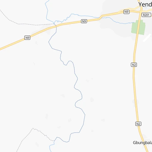
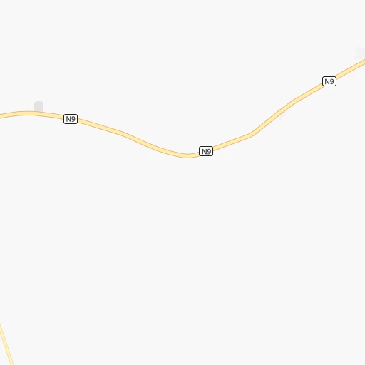
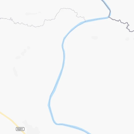
Roadmap (route) to go from Yendi Airport to Mpraeso detailed above, you can also see the course layout on the map.
While doing trip Yendi (airport) - Mpraeso by car, the calculated route ends at a distance , or more straight.
Distance and duration of the route between Yendi (airport) and Mpraeso
Calculation of distance and route from Mpraeso to Yendi (airport) :
324.8448.0 km9h5mn
Continue 0h0mn 54 mTurn left 0h1mn 672 mTurn slight left onto N2 1h58mn 67.1 kmTurn right onto R29 4h11mn 187.0 kmTurn left onto Seneso 0h0mn 118 mTurn right onto Seneso 1h16mn 61.3 kmKeep left onto R76 1h42mn 34.6 kmTurn left onto Mamekrobo To Agogo Road 1h39mn 38.5 kmTurn right onto R72 1h48mn 25.2 kmKeep left onto R72 0h1mn 833 mTurn right onto IR3 0h18mn 20.1 kmTurn left onto IR3 0h4mn 4.7 kmTurn left onto Mpraeso To Afram Plains 0h0mn 134 mTurn left onto Mpraeso To Afram Plains 0h7mn 7.6 kmTurn right 0h0mn 110 mArrive at destination 0h0mn 0 m
Travel from Yendi (airport) (Eastern) to a selection of major cities.
Distances from Yendi Airport to biggest cities in Northern
Other major cities in country :
Route from Mpraeso to major cities (Ghana).
- Distance Mpraeso Accra130 km
- Distance Mpraeso Kumasi99 km
- Distance Mpraeso Tamale313 km
- Distance Mpraeso Takoradi220 km
- Distance Mpraeso Atsiaman109 km
- Distance Mpraeso Tema130 km
- Distance Mpraeso Teshi Old Town132 km
- Distance Mpraeso Cape Coast175 km
- Distance Mpraeso Sekondi-Takoradi217 km
- Distance Mpraeso Obuase112 km
- Distance Mpraeso Medina Estates121 km
- Distance Mpraeso Japekrom252 km
- Distance Mpraeso Wa432 km
- Distance Mpraeso Ejura112 km
- Distance Mpraeso Nungua132 km
- Distance Mpraeso Sunyani195 km
- Distance Mpraeso Ho133 km
- Distance Mpraeso Techiman173 km
- Distance Mpraeso Aflao219 km
- Distance Mpraeso Berekum226 km
Nearest cities to Yendi (airport) :
- Kumasi, 1,468,609 inhabitants. 353 km
- Tamale, 360,579 inhabitants. 92 km
- Japekrom, 96,000 inhabitants. 369 km
- Wa, 78,107 inhabitants. 283 km
- Ejura, 70,807 inhabitants. 271 km
- Sunyani, 70,299 inhabitants. 345 km
- Ho, 69,998 inhabitants. 319 km
- Techiman, 69,720 inhabitants. 295 km
- Berekum, 62,364 inhabitants. 359 km
- Nkawkaw, 61,785 inhabitants. 331 km
- Bawku, 56,830 inhabitants. 184 km
- Hohoe, 56,202 inhabitants. 259 km
- Bolgatanga, 54,430 inhabitants. 178 km
- Tafo, 50,457 inhabitants. 348 km
- Kintampo, 47,185 inhabitants. 243 km
- Yendi, 42,972 inhabitants. 2 km
- Mampong, 42,037 inhabitants. 305 km
- Konongo, 41,238 inhabitants. 340 km
- Agogo, 31,554 inhabitants. 315 km
- Wenchi, 31,411 inhabitants. 298 km
- Savelugu, 29,310 inhabitants. 93 km
- Kpandu, 28,334 inhabitants. 272 km
- Salaga, 25,472 inhabitants. 113 km
- Navrongo, 25,470 inhabitants. 202 km
- Bibiani, 19,076 inhabitants. 417 km
- Duayaw Nkwanta, 17,000 inhabitants. 341 km
- Bechem, 17,000 inhabitants. 342 km
- Kete Krachi, 11,000 inhabitants. 182 km
- Mpraeso, 9,007 inhabitants. 325 km
- Kpandae, 8,652 inhabitants. 106 km
- Bekwai, 4,260 inhabitants. 374 km
Location Yendi (airport) (Northern) :
| Country flag |  |
| Location | Yendi (airport) |
| State | Northern |
| County | |
| Country | Ghana |
| Country code / ISO 2 | GH |
| Latitude | 9.4254000 |
| Longitude | -0.0051900 |
| Altitude | 0 meters |
| Time zone | Africa/Accra |
Location Mpraeso (Eastern) :
| Country flag | |
| Location | Mpraeso |
| State | Eastern |
| County | Kwahu South |
| Country | Ghana |
| Country code / ISO 2 | GH |
| Latitude | 6.5932100 |
| Longitude | -0.7346200 |
| Altitude | 0 meters |
| Time zone | Africa/Accra |