
How to get from Bou Saada (airport) (M'Sila) to Batna (Batna)
Calculate route from Bou Saada (airport) (M'Sila, Algeria) to Batna (Batna, Algeria).
The flight distance (as the crow flies) between Bou Saada (airport) and Batna is 179.9 km.
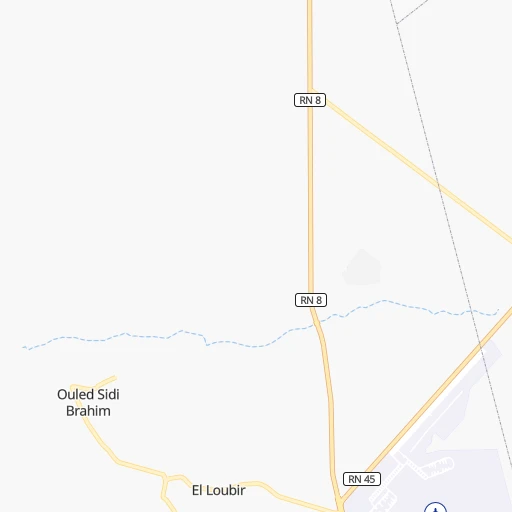
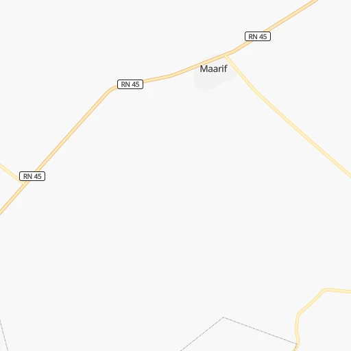
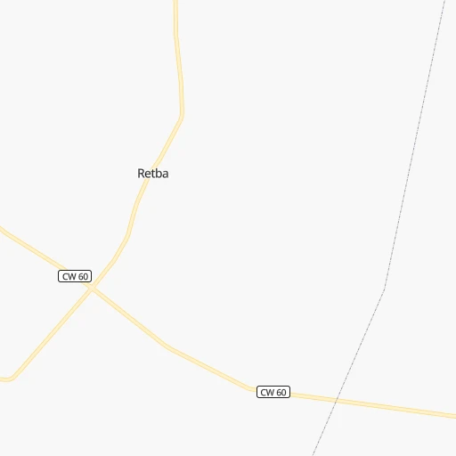
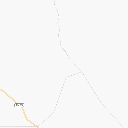
Roadmap (route) to go from Bou Saada Airport to Batna detailed above, you can also see the course layout on the map.
While doing trip Bou Saada (airport) - Batna by car, the calculated route ends at a distance , or more straight.
Distance and duration of the route between Bou Saada (airport) and Batna
Calculation of distance and route from Batna to Bou Saada (airport) :
179.9200.0 km3h12mn
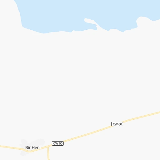
Continue onto RN 45 0h7mn 8.3 kmTurn right onto CW 60 0h6mn 5.9 kmAt roundabout, take exit 2 0h8mn 8.1 kmAt roundabout, take exit 2 onto CW 60 0h1mn 907 mAt roundabout, take exit 1 onto CW 60 1h36mn 36.2 kmTurn left onto CW 60 1h55mn 54.8 kmTurn right 0h1mn 1.0 kmAt roundabout, take exit 2 onto RN 78 0h0mn 269 mAt roundabout, take exit 2 0h5mn 3.5 kmAt roundabout, take exit 1 onto RN 28 0h1mn 1.3 kmAt roundabout, take exit 1 onto RN 28 0h12mn 14.2 kmAt roundabout, take exit 2 onto RN 28 0h27mn 31.4 kmAt roundabout, take exit 4 onto Voie rapide Batna-Biskra 0h2mn 1.1 kmKeep right onto الطريق السريع باتنة - بسكرة 0h2mn 1.2 kmAt roundabout, take exit 2 onto الطريق السريع باتنة - بسكرة 0h17mn 19.3 kmAt roundabout, take exit 1 onto الطريق السريع باتنة - بسكرة 0h8mn 7.8 kmAt roundabout, take exit 2 onto Evitement Sud de Batna 0h1mn 1.3 kmAt roundabout, take exit 2 onto Boulevard KL 0h1mn 1.3 kmAt roundabout, take exit 2 onto Rue des Frères Abdellah 0h1mn 691 mAt roundabout, take exit 2 onto Rue des Frères Abdellah 0h1mn 1.1 kmContinue onto Rue des frères Lamrani 0h1mn 416 mTurn left onto RN 31 0h0mn 19 mArrive at destination 0h0mn 0 m
Travel from Bou Saada (airport) (Batna) to a selection of major cities.
Distances from Bou Saada Airport to biggest cities in M'Sila
Other major cities in country :
- Djelfa [22], 154,265 inhabitants. 113 km
- Mascara [26], 150,000 inhabitants. 369 km
- Jijel [24], 148,000 inhabitants. 217 km
- Medea [06], 147,707 inhabitants. 167 km
- Tizi Ouzou [14], 144,000 inhabitants. 154 km
- Bechar [38], 143,382 inhabitants. 726 km
- El Oued [43], 134,699 inhabitants. 329 km
- Tlemcen [15], 132,341 inhabitants. 505 km
- Relizane [51], 130,094 inhabitants. 334 km
- Mostaganem [07], 130,000 inhabitants. 378 km
- Ouargla [50], 129,402 inhabitants. 391 km
- El Eulma [12], 128,351 inhabitants. 162 km
- Saida [10], 127,497 inhabitants. 374 km
- Guelma [23], 123,590 inhabitants. 316 km
- Bordj el Kiffan [01], 123,246 inhabitants. 182 km
- Ain Oussera [22], 118,687 inhabitants. 119 km
- Khenchela [47], 117,000 inhabitants. 267 km
- Laghouat [25], 113,872 inhabitants. 210 km
- Ain Beida [29], 105,765 inhabitants. 293 km
- Baraki [55], 105,402 inhabitants. 179 km
Route from Batna to major cities (Algeria).
- Distance Batna Algiers307 km
- Distance Batna Boumerdas277 km
- Distance Batna Oran616 km
- Distance Batna Tebessa178 km
- Distance Batna Constantine98 km
- Distance Batna Biskra88 km
- Distance Batna Setif99 km
- Distance Batna Bab Ezzouar299 km
- Distance Batna Annaba207 km
- Distance Batna Sidi Bel Abbes619 km
- Distance Batna Blida318 km
- Distance Batna Tiaret441 km
- Distance Batna Chlef442 km
- Distance Batna Bordj Bou Arreridj140 km
- Distance Batna Ech Chettia449 km
- Distance Batna Bejaia166 km
- Distance Batna Skikda161 km
- Distance Batna El Achir151 km
- Distance Batna Souk Ahras180 km
- Distance Batna Djelfa283 km
Nearest cities to Bou Saada (airport) :
- Algiers, 1,977,663 inhabitants. 186 km
- Boumerdas, 786,499 inhabitants. 173 km
- Constantine, 450,097 inhabitants. 246 km
- Biskra, 307,987 inhabitants. 149 km
- Setif, 288,461 inhabitants. 145 km
- Batna, 280,798 inhabitants. 180 km
- Bab Ezzouar, 275,630 inhabitants. 180 km
- Blida, 182,447 inhabitants. 177 km
- Tiaret, 178,915 inhabitants. 262 km
- Chlef, 178,616 inhabitants. 276 km
- Bordj Bou Arreridj, 168,346 inhabitants. 97 km
- Ech Chettia, 167,955 inhabitants. 283 km
- Bejaia, 164,103 inhabitants. 177 km
- Skikda, 162,702 inhabitants. 298 km
- El Achir, 158,333 inhabitants. 90 km
- Djelfa, 154,265 inhabitants. 113 km
- Jijel, 148,000 inhabitants. 217 km
- Medea, 147,707 inhabitants. 167 km
- Tizi Ouzou, 144,000 inhabitants. 154 km
- El Oued, 134,699 inhabitants. 329 km
- El Eulma, 128,351 inhabitants. 162 km
- Bordj el Kiffan, 123,246 inhabitants. 182 km
- Ain Oussera, 118,687 inhabitants. 119 km
- Khenchela, 117,000 inhabitants. 267 km
- Laghouat, 113,872 inhabitants. 210 km
- Baraki, 105,402 inhabitants. 179 km
- Oum el Bouaghi, 100,821 inhabitants. 270 km
- M'Sila, 100,000 inhabitants. 51 km
- Messaad, 99,485 inhabitants. 146 km
- Barika, 98,846 inhabitants. 105 km
- Ghardaia, 93,423 inhabitants. 320 km
- Beni Mered, 92,749 inhabitants. 180 km
- Aflou, 84,683 inhabitants. 236 km
- El Khroub, 83,746 inhabitants. 247 km
- Berrouaghia, 80,573 inhabitants. 147 km
- Ksar el Boukhari, 77,166 inhabitants. 146 km
- Khemis Miliana, 75,865 inhabitants. 207 km
- Azzaba, 75,317 inhabitants. 304 km
- Ain Touta, 72,280 inhabitants. 154 km
- Birkhadem, 71,722 inhabitants. 186 km
- Chelghoum el Aid, 71,660 inhabitants. 200 km
- Sidi Aissa, 69,740 inhabitants. 73 km
- Larbaa, 69,298 inhabitants. 167 km
- Mila, 68,831 inhabitants. 223 km
- Sougueur, 68,654 inhabitants. 247 km
- Ain Fakroun, 68,433 inhabitants. 252 km
- Tolga, 68,246 inhabitants. 127 km
- Akbou, 66,654 inhabitants. 129 km
- Sidi Khaled, 64,476 inhabitants. 127 km
- Bougara, 63,155 inhabitants. 169 km
Location Bou Saada (airport) (M'Sila) :
| Country flag |  |
| Location | Bou Saada (airport) |
| State | M'Sila |
| County | |
| Country | Algeria |
| Country code / ISO 2 | DZ |
| Latitude | 35.3325000 |
| Longitude | 4.2063900 |
| Altitude | 459 meters |
| Time zone | Africa/Algiers |
Location Batna (Batna) :
| Country flag | |
| Location | Batna |
| State | Batna |
| County | |
| Country | Algeria |
| Country code / ISO 2 | DZ |
| Latitude | 35.5559700 |
| Longitude | 6.1741400 |
| Altitude | 0 meters |
| Time zone | Africa/Algiers |
