


How to get from Ag Air (airport) (Nebraska) to Columbus (Nebraska)
Calculate route from Ag Air (airport) (Nebraska, United States) to Columbus (Nebraska, United States).
The flight distance (as the crow flies) between Ag Air (airport) and Columbus is 453.8 km.
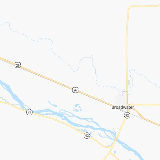
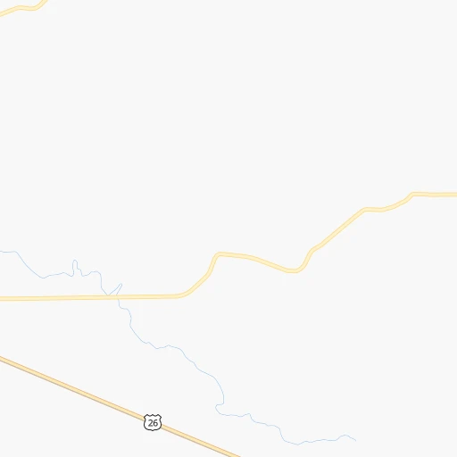
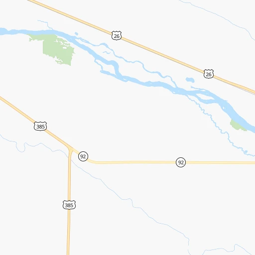
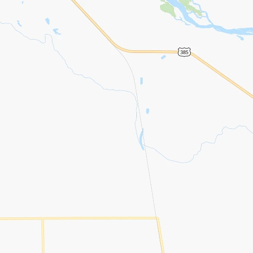
Roadmap (route) to go from Ag Air Airport to Columbus detailed above, you can also see the course layout on the map.
While doing trip Ag Air (airport) - Columbus by car, the calculated route ends at a distance , or more straight.
Distance and duration of the route between Ag Air (airport) and Columbus
Calculation of distance and route from Columbus to Ag Air (airport) :
453.8527.9 km5h28mn
Continue onto Road 84 0h0mn 586 mTurn right onto Road 129 0h1mn 1.7 kmTurn left onto US 26, NE 92 1h43mn 64.6 kmTurn left onto NE 92 0h24mn 38.1 kmTurn right onto Highway 61 0h1mn 1.9 kmTurn left onto Keystone Lake Road 0h6mn 8.1 kmTurn right onto Keystone-Roscoe Road 0h8mn 10.2 kmTurn left onto Highway 30 0h1mn 1.0 kmTurn right onto Road East H North 0h1mn 1.5 kmTurn sharp left toward I 80 east 3h33mn 275.3 kmKeep right and take NE 40C Link toward Alda 0h0mn 433 mTurn sharp left onto South Alda Road 0h6mn 9.0 kmTurn right onto West Front Street 0h11mn 12.6 kmTurn left onto West 1st Street 0h3mn 2.2 kmContinue onto Highway 30 1h6mn 98.2 kmTurn left onto US 30, US 81 0h2mn 2.3 kmMake a U-turn onto 33rd Avenue 0h0mn 96 mArrive at destination 0h0mn 0 m
Travel from Ag Air (airport) (Nebraska) to a selection of major cities.
Distances from Ag Air Airport to biggest cities in Nebraska
Other major cities in country :
- Charlotte [NC], 827,097 inhabitants. 2,037 km
- Seattle [WA], 684,451 inhabitants. 1,679 km
- Denver [CO], 682,545 inhabitants. 276 km
- El Paso [TX], 681,124 inhabitants. 1,143 km
- Detroit [MI], 677,116 inhabitants. 1,635 km
- Boston [MA], 667,137 inhabitants. 2,614 km
- Memphis [TN], 655,770 inhabitants. 1,323 km
- New South Memphis [TN], 641,608 inhabitants. 1,327 km
- Portland [OR], 632,309 inhabitants. 1,656 km
- Oklahoma City [OK], 631,346 inhabitants. 823 km
- Las Vegas [NV], 623,747 inhabitants. 1,225 km
- Baltimore [MD], 621,849 inhabitants. 2,226 km
- Washington, D.C. [DC], 601,723 inhabitants. 2,203 km
- Milwaukee [WI], 600,155 inhabitants. 1,236 km
- South Boston [MA], 571,281 inhabitants. 2,615 km
- Albuquerque [NM], 559,121 inhabitants. 798 km
- Tucson [AZ], 531,641 inhabitants. 1,267 km
- Nashville [TN], 530,852 inhabitants. 1,512 km
- Fresno [CA], 520,052 inhabitants. 1,556 km
- Sacramento [CA], 490,712 inhabitants. 1,622 km
Route from Columbus to major cities (United States).
- Distance Columbus New York City1,956 km
- Distance Columbus Los Angeles2,006 km
- Distance Columbus Chicago809 km
- Distance Columbus Brooklyn1,962 km
- Distance Columbus Houston1,311 km
- Distance Columbus Queens1,971 km
- Distance Columbus Philadelphia1,876 km
- Distance Columbus Phoenix1,571 km
- Distance Columbus Manhattan1,958 km
- Distance Columbus San Antonio1,340 km
- Distance Columbus San Diego2,001 km
- Distance Columbus The Bronx1,965 km
- Distance Columbus Dallas964 km
- Distance Columbus San Jose2,151 km
- Distance Columbus Austin1,243 km
- Distance Columbus Jacksonville1,875 km
- Distance Columbus San Francisco2,179 km
- Distance Columbus Columbus1,222 km
- Distance Columbus Fort Worth969 km
- Distance Columbus Indianapolis965 km
Nearest cities to Ag Air (airport) :
- Denver, 682,545 inhabitants. 276 km
- Colorado Springs, 456,568 inhabitants. 352 km
- Aurora, 359,407 inhabitants. 269 km
- Fort Collins, 161,175 inhabitants. 221 km
- Lakewood, 152,597 inhabitants. 284 km
- Thornton, 133,451 inhabitants. 265 km
- Arvada, 115,368 inhabitants. 277 km
- Westminster, 113,130 inhabitants. 271 km
- Centennial, 109,741 inhabitants. 284 km
- Boulder, 107,349 inhabitants. 271 km
- Greeley, 100,883 inhabitants. 206 km
- Highlands Ranch, 96,713 inhabitants. 291 km
- Longmont, 92,088 inhabitants. 250 km
- Loveland, 75,182 inhabitants. 232 km
- Rapid City, 73,569 inhabitants. 279 km
- Broomfield, 65,065 inhabitants. 267 km
- Cheyenne, 63,335 inhabitants. 175 km
- Castle Rock, 55,591 inhabitants. 302 km
- Commerce City, 53,696 inhabitants. 267 km
- Parker, 49,550 inhabitants. 284 km
- Littleton, 46,368 inhabitants. 289 km
- Southglenn, 42,268 inhabitants. 287 km
- Northglenn, 39,197 inhabitants. 264 km
- Brighton, 37,585 inhabitants. 246 km
- Englewood, 33,082 inhabitants. 284 km
- Security-Widefield, 32,882 inhabitants. 356 km
- Gillette, 32,649 inhabitants. 371 km
- Ken Caryl, 32,438 inhabitants. 297 km
- Laramie, 32,158 inhabitants. 234 km
- Wheat Ridge, 31,192 inhabitants. 279 km
- Fountain, 27,767 inhabitants. 362 km
- Lafayette, 27,729 inhabitants. 262 km
- Castlewood, 25,271 inhabitants. 285 km
- Columbine, 24,280 inhabitants. 294 km
- North Platte, 24,194 inhabitants. 179 km
- Windsor, 21,751 inhabitants. 215 km
- Erie, 21,420 inhabitants. 255 km
- Evans, 21,383 inhabitants. 208 km
- Louisville, 20,396 inhabitants. 266 km
- Golden, 20,330 inhabitants. 288 km
- Sherrelwood, 18,287 inhabitants. 269 km
- Cimarron Hills, 16,161 inhabitants. 344 km
- Greenwood Village, 15,663 inhabitants. 285 km
- Johnstown, 14,896 inhabitants. 225 km
- Welby, 14,846 inhabitants. 266 km
- Scottsbluff, 14,802 inhabitants. 77 km
- Sterling, 14,104 inhabitants. 113 km
- Pierre, 14,002 inhabitants. 368 km
- Fort Carson, 13,813 inhabitants. 360 km
- Lone Tree, 13,175 inhabitants. 287 km
Location Ag Air (airport) (Nebraska) :
| Country flag |  |
| Location | Ag Air (airport) |
| State | Nebraska |
| County | Morrill County |
| Country | United States |
| Country code / ISO 2 | US |
| Latitude | 41.5965300 |
| Longitude | -102.8181600 |
| Altitude | 1095 meters |
| Time zone | America/Denver |
Location Columbus (Nebraska) :
| Country flag | |
| Location | Columbus |
| State | Nebraska |
| County | Platte County |
| Country | United States |
| Country code / ISO 2 | US |
| Latitude | 41.4297300 |
| Longitude | -97.3683800 |
| Altitude | 441 meters |
| Time zone | America/Chicago |


