
How to get from Gardiner (airport) (Montana) to Rupert (Idaho)
Calculate route from Gardiner (airport) (Montana, United States) to Rupert (Idaho, United States).
The flight distance (as the crow flies) between Gardiner (airport) and Rupert is 357.8 km.
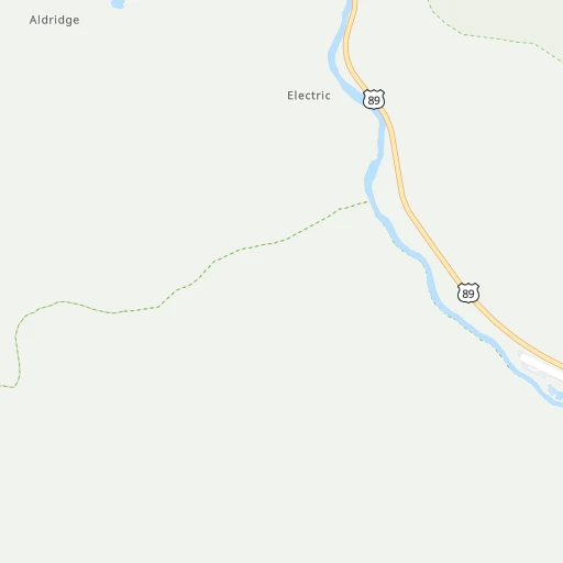
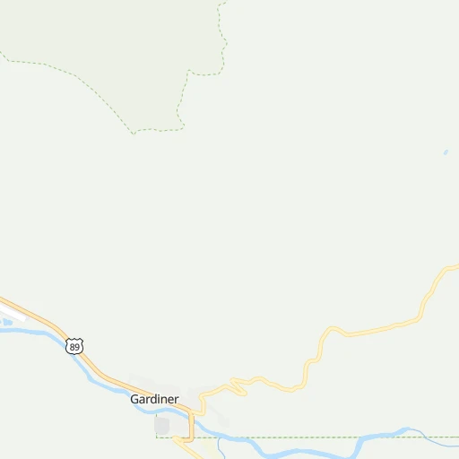
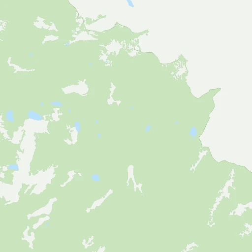
Roadmap (route) to go from Gardiner Airport to Rupert detailed above, you can also see the course layout on the map.
While doing trip Gardiner (airport) - Rupert by car, the calculated route ends at a distance , or more straight.
Distance and duration of the route between Gardiner (airport) and Rupert
Calculation of distance and route from Rupert to Gardiner (airport) :
357.8457.1 km5h14mn
Continue onto Airport Road 0h2mn 953 mTurn right onto US 89 0h4mn 3.3 kmTurn left onto East Park Street 0h0mn 83 mTurn slight right 0h1mn 317 mTurn right 0h0mn 136 mKeep left onto North Entrance Road 0h0mn 131 mTurn right onto North Entrance Road 0h0mn 56 mTurn sharp right onto Old Gardiner Road 0h11mn 6.5 kmTurn right onto Albright Avenue 0h0mn 277 mTurn right onto Albright Avenue 0h0mn 55 mKeep right onto Albright Avenue 1h57mn 55.2 kmTurn right onto West Entrance Road 0h22mn 22.7 kmTurn right onto Dunraven Street 0h0mn 198 mTurn left onto Madison Avenue 0h1mn 891 mTurn right onto Iris Street 0h0mn 355 mTurn left onto Targhee Pass Highway 2h47mn 170.6 kmKeep left onto US 20 0h1mn 615 mKeep right onto US 20 and take I 15 South toward Arco, Pocatello 1h40mn 75.4 kmKeep right and take I 86 West toward Chubbuck, Twin Falls 1h57mn 109.4 kmKeep right and take ID 77, ID 25 toward Rupert, Declo 0h0mn 270 mTurn right onto State Highway 25 0h6mn 5.7 kmTurn left onto East Baseline Road 0h3mn 3.1 kmKeep right onto East 8th Street South 0h0mn 151 mContinue onto 8th Street 0h1mn 768 mTurn left 0h0mn 62 mArrive at destination 0h0mn 0 m
Travel from Gardiner (airport) (Idaho) to a selection of major cities.
Distances from Gardiner Airport to biggest cities in Montana
Other major cities in country :
- Charlotte [NC], 827,097 inhabitants. 2,750 km
- Seattle [WA], 684,451 inhabitants. 934 km
- Denver [CO], 682,545 inhabitants. 757 km
- El Paso [TX], 681,124 inhabitants. 1,525 km
- Detroit [MI], 677,116 inhabitants. 2,239 km
- Boston [MA], 667,137 inhabitants. 3,176 km
- Memphis [TN], 655,770 inhabitants. 2,069 km
- New South Memphis [TN], 641,608 inhabitants. 2,073 km
- Portland [OR], 632,309 inhabitants. 935 km
- Oklahoma City [OK], 631,346 inhabitants. 1,546 km
- Las Vegas [NV], 623,747 inhabitants. 1,055 km
- Baltimore [MD], 621,849 inhabitants. 2,866 km
- Washington, D.C. [DC], 601,723 inhabitants. 2,851 km
- Milwaukee [WI], 600,155 inhabitants. 1,835 km
- South Boston [MA], 571,281 inhabitants. 3,177 km
- Albuquerque [NM], 559,121 inhabitants. 1,162 km
- Tucson [AZ], 531,641 inhabitants. 1,428 km
- Nashville [TN], 530,852 inhabitants. 2,242 km
- Fresno [CA], 520,052 inhabitants. 1,194 km
- Sacramento [CA], 490,712 inhabitants. 1,144 km
Route from Rupert to major cities (United States).
- Distance Rupert New York City3,276 km
- Distance Rupert Los Angeles1,033 km
- Distance Rupert Chicago2,138 km
- Distance Rupert Brooklyn3,282 km
- Distance Rupert Houston2,172 km
- Distance Rupert Queens3,290 km
- Distance Rupert Philadelphia3,207 km
- Distance Rupert Phoenix1,030 km
- Distance Rupert Manhattan3,276 km
- Distance Rupert San Antonio2,000 km
- Distance Rupert San Diego1,144 km
- Distance Rupert The Bronx3,282 km
- Distance Rupert Dallas1,840 km
- Distance Rupert San Jose914 km
- Distance Rupert Austin1,975 km
- Distance Rupert Jacksonville3,151 km
- Distance Rupert San Francisco918 km
- Distance Rupert Columbus2,569 km
- Distance Rupert Fort Worth1,808 km
- Distance Rupert Indianapolis2,317 km
Nearest cities to Gardiner (airport) :
- Billings, 110,263 inhabitants. 194 km
- Great Falls, 59,638 inhabitants. 276 km
- Idaho Falls, 59,184 inhabitants. 204 km
- Pocatello, 54,441 inhabitants. 278 km
- Bozeman, 43,405 inhabitants. 74 km
- Butte, 34,190 inhabitants. 175 km
- Butte-Silver Bow (Balance), 33,525 inhabitants. 177 km
- Helena, 30,581 inhabitants. 199 km
- Rexburg, 27,663 inhabitants. 159 km
- Ammon, 14,960 inhabitants. 201 km
- Chubbuck, 14,428 inhabitants. 274 km
- Blackfoot, 11,740 inhabitants. 243 km
- Riverton, 10,873 inhabitants. 294 km
- Jackson, 10,523 inhabitants. 175 km
- Cody, 9,792 inhabitants. 146 km
- Anaconda, 9,417 inhabitants. 209 km
- Helena Valley Southeast, 8,227 inhabitants. 197 km
- Belgrade, 8,029 inhabitants. 88 km
- Helena Valley West Central, 7,883 inhabitants. 207 km
- Lander, 7,686 inhabitants. 295 km
- Livingston, 7,302 inhabitants. 70 km
- Laurel, 6,943 inhabitants. 169 km
- Lockwood, 6,797 inhabitants. 201 km
- Powell, 6,462 inhabitants. 160 km
- Lewistown, 5,874 inhabitants. 246 km
- Rupert, 5,705 inhabitants. 358 km
- Worland, 5,372 inhabitants. 250 km
- Preston, 5,212 inhabitants. 341 km
- Shelley, 4,339 inhabitants. 216 km
- American Falls, 4,321 inhabitants. 303 km
- Dillon, 4,210 inhabitants. 150 km
- Rigby, 4,029 inhabitants. 179 km
- Lincoln, 3,647 inhabitants. 197 km
- Saint Anthony, 3,542 inhabitants. 141 km
- Helena Valley Northwest, 3,482 inhabitants. 213 km
- Malmstrom Air Force Base, 3,472 inhabitants. 276 km
- Fort Hall, 3,201 inhabitants. 262 km
- Four Corners, 3,146 inhabitants. 73 km
Location Gardiner (airport) (Montana) :
| Country flag |  |
| Location | Gardiner (airport) |
| State | Montana |
| County | Park County |
| Country | United States |
| Country code / ISO 2 | US |
| Latitude | 45.0482400 |
| Longitude | -110.7472200 |
| Altitude | 1601 meters |
| Time zone | America/Denver |
Location Rupert (Idaho) :
| Country flag | |
| Location | Rupert |
| State | Idaho |
| County | Minidoka County |
| Country | United States |
| Country code / ISO 2 | US |
| Latitude | 42.6190800 |
| Longitude | -113.6772300 |
| Altitude | 1267 meters |
| Time zone | America/Boise |