
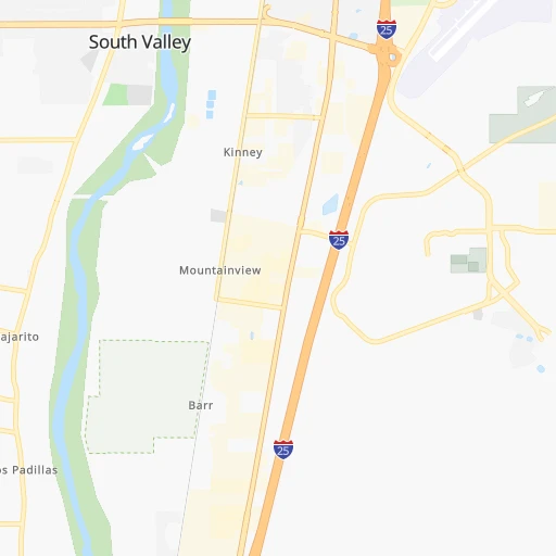

How to get from South Valley (New Mexico) to Cortez (Colorado)
Calculate route from South Valley (New Mexico, United States) to Cortez (Colorado, United States).
The flight distance (as the crow flies) between South Valley and Cortez is 311.2 km.
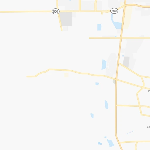
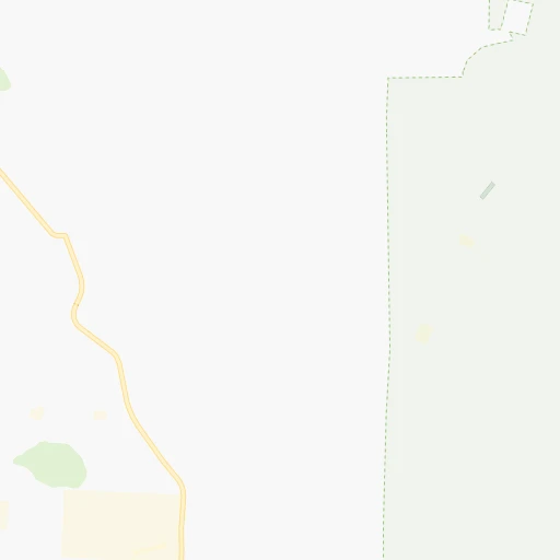
Roadmap (route) to go from South Valley to Cortez detailed above, you can also see the course layout on the map.
While doing trip South Valley - Cortez by car, the calculated route ends at a distance , or more straight.
Distance and duration of the route between South Valley and Cortez
Calculation of distance and route from Cortez to South Valley :
311.2414.2 km5h40mn
Continue onto Tierra Verde Place 0h0mn 151 mAt roundabout, take exit 1 onto Tierra Verde Place 0h0mn 100 mAt roundabout, take exit 1 onto Tierra Verde Place 0h0mn 181 mTurn right onto Tierra Verde Place 0h0mn 170 mTurn right onto Isleta Boulevard Southwest 0h5mn 4.5 kmKeep right 0h2mn 2.4 kmTurn right onto Avenida Dolores Huerta Southwest 0h3mn 2.5 kmTurn sharp left toward I 25 North 0h18mn 29.5 kmKeep right and take US 550 North, NM 165 East toward Placitas, Bernalillo, Rio Rancho 0h0mn 283 mKeep left and take US 550 toward Bernalillo, Rio Rancho, Coronado Historic Site 2h26mn 239.2 kmTurn left onto Road 5500 0h12mn 12.1 kmTurn left onto Bloomfield Highway 0h7mn 8.0 kmKeep right onto East Broadway Avenue 1h37mn 47.9 kmKeep right 1h47mn 66.6 kmKeep right onto West Main Street 0h1mn 737 mTurn left onto North Chestnut Street 0h0mn 59 mTurn right 0h0mn 53 mArrive at destination 0h0mn 0 m
Travel from South Valley (Colorado) to a selection of major cities.
Distances from South Valley to biggest cities in New Mexico
Other major cities in country :
- Charlotte [NC], 827,097 inhabitants. 2,346 km
- Seattle [WA], 684,451 inhabitants. 1,911 km
- Denver [CO], 682,545 inhabitants. 547 km
- El Paso [TX], 681,124 inhabitants. 362 km
- Detroit [MI], 677,116 inhabitants. 2,201 km
- Boston [MA], 667,137 inhabitants. 3,176 km
- Memphis [TN], 655,770 inhabitants. 1,513 km
- New South Memphis [TN], 641,608 inhabitants. 1,513 km
- Portland [OR], 632,309 inhabitants. 1,787 km
- Oklahoma City [OK], 631,346 inhabitants. 834 km
- Las Vegas [NV], 623,747 inhabitants. 776 km
- Baltimore [MD], 621,849 inhabitants. 2,697 km
- Washington, D.C. [DC], 601,723 inhabitants. 2,660 km
- Milwaukee [WI], 600,155 inhabitants. 1,847 km
- South Boston [MA], 571,281 inhabitants. 3,177 km
- Tucson [AZ], 531,641 inhabitants. 501 km
- Nashville [TN], 530,852 inhabitants. 1,802 km
- Fresno [CA], 520,052 inhabitants. 1,196 km
- Sacramento [CA], 490,712 inhabitants. 1,377 km
- Kansas City [MO], 475,378 inhabitants. 1,166 km
Route from Cortez to major cities (United States).
- Distance Cortez New York City2,994 km
- Distance Cortez Los Angeles946 km
- Distance Cortez Chicago1,859 km
- Distance Cortez Brooklyn2,999 km
- Distance Cortez Houston1,487 km
- Distance Cortez Queens3,009 km
- Distance Cortez Philadelphia2,903 km
- Distance Cortez Phoenix537 km
- Distance Cortez Manhattan2,997 km
- Distance Cortez San Antonio1,286 km
- Distance Cortez San Diego936 km
- Distance Cortez The Bronx3,005 km
- Distance Cortez Dallas1,186 km
- Distance Cortez San Jose1,177 km
- Distance Cortez Austin1,274 km
- Distance Cortez Jacksonville2,599 km
- Distance Cortez San Francisco1,221 km
- Distance Cortez Columbus2,235 km
- Distance Cortez Fort Worth1,147 km
- Distance Cortez Indianapolis1,966 km
Nearest cities to South Valley :
- Albuquerque, 559,121 inhabitants. 9 km
- Las Cruces, 101,643 inhabitants. 300 km
- Enchanted Hills, 87,521 inhabitants. 37 km
- Rio Rancho, 87,521 inhabitants. 25 km
- Santa Fe, 84,099 inhabitants. 101 km
- Roswell, 48,544 inhabitants. 268 km
- Farmington, 42,871 inhabitants. 236 km
- South Valley, 40,976 inhabitants. 0 km
- Alamogordo, 30,753 inhabitants. 244 km
- Carlsbad, 28,957 inhabitants. 367 km
- Gallup, 23,240 inhabitants. 196 km
- Durango, 18,006 inhabitants. 274 km
- Los Lunas, 15,336 inhabitants. 23 km
- Chaparral, 14,631 inhabitants. 334 km
- Deming, 14,522 inhabitants. 321 km
- Las Vegas, 13,386 inhabitants. 147 km
- Artesia, 12,036 inhabitants. 320 km
- Los Alamos, 12,019 inhabitants. 103 km
- North Valley, 11,333 inhabitants. 19 km
- Espanola, 10,224 inhabitants. 122 km
- Silver City, 10,004 inhabitants. 290 km
- Alamosa, 9,819 inhabitants. 283 km
- Grants, 9,239 inhabitants. 108 km
- Bernalillo, 8,843 inhabitants. 34 km
- Socorro, 8,722 inhabitants. 108 km
- Cortez, 8,715 inhabitants. 312 km
- Corrales, 8,502 inhabitants. 26 km
- Shiprock, 8,295 inhabitants. 268 km
- Trinidad, 8,153 inhabitants. 310 km
- Kirtland, 7,875 inhabitants. 245 km
- Ruidoso, 7,739 inhabitants. 208 km
- Bloomfield, 7,314 inhabitants. 223 km
- Belen, 7,152 inhabitants. 40 km
- Zuni Pueblo, 6,302 inhabitants. 198 km
- Raton, 6,187 inhabitants. 292 km
- Aztec, 6,147 inhabitants. 234 km
- Eldorado at Santa Fe, 6,130 inhabitants. 89 km
- Truth or Consequences, 6,079 inhabitants. 216 km
- Los Ranchos de Albuquerque, 6,063 inhabitants. 17 km
- Lee Acres, 5,858 inhabitants. 224 km
- Lee Acres, 5,858 inhabitants. 16 km
- Taos, 5,740 inhabitants. 185 km
- White Rock, 5,725 inhabitants. 101 km
- Los Chavez, 5,446 inhabitants. 32 km
- Tucumcari, 5,025 inhabitants. 269 km
- Placitas, 4,977 inhabitants. 40 km
- Eagar, 4,869 inhabitants. 260 km
- Rio Communities, 4,723 inhabitants. 40 km
- Meadow Lake, 4,708 inhabitants. 26 km
- El Cerro Mission, 4,657 inhabitants. 28 km
Location South Valley (New Mexico) :
| Country flag |  |
| Location | South Valley |
| State | New Mexico |
| County | Bernalillo County |
| Country | United States |
| Country code / ISO 2 | US |
| Latitude | 35.0100500 |
| Longitude | -106.6780800 |
| Altitude | 1501 meters |
| Time zone | America/Denver |
Location Cortez (Colorado) :
| Country flag | |
| Location | Cortez |
| State | Colorado |
| County | Montezuma County |
| Country | United States |
| Country code / ISO 2 | US |
| Latitude | 37.3488800 |
| Longitude | -108.5859300 |
| Altitude | 1887 meters |
| Time zone | America/Denver |


