
How to get from Rocky Ridge (airport) (Arizona) to Gold Canyon (Arizona)
Calculate route from Rocky Ridge (airport) (Arizona, United States) to Gold Canyon (Arizona, United States).
The flight distance (as the crow flies) between Rocky Ridge (airport) and Gold Canyon is 308.4 km.
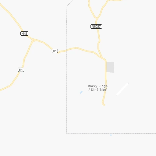
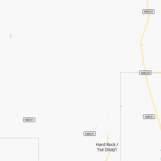
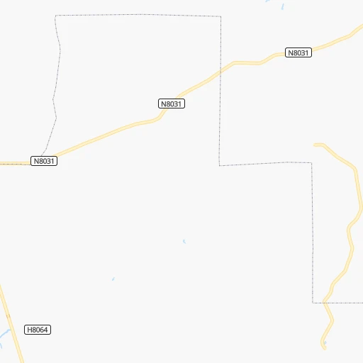
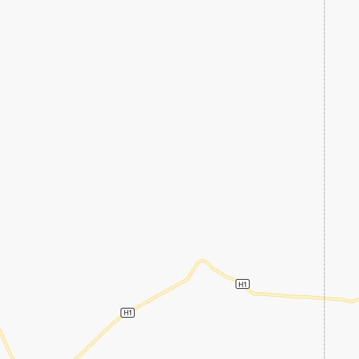
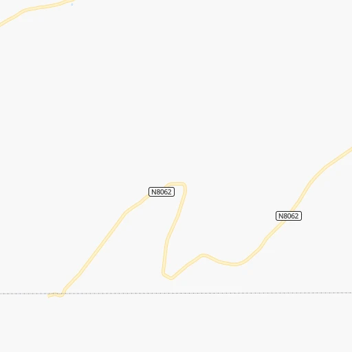
Roadmap (route) to go from Rocky Ridge Airport to Gold Canyon detailed above, you can also see the course layout on the map.
While doing trip Rocky Ridge (airport) - Gold Canyon by car, the calculated route ends at a distance , or more straight.
Distance and duration of the route between Rocky Ridge (airport) and Gold Canyon
Calculation of distance and route from Gold Canyon to Rocky Ridge (airport) :
308.4425.4 km6h7mn
Continue onto Cliff Ridge 0h0mn 45 mContinue 0h4mn 1.2 kmTurn right onto Navajo Route 8031 0h17mn 10.0 kmTurn right onto Navajo Route 8029 0h19mn 25.0 kmTurn left onto Arizona State Highway 264 0h7mn 7.8 kmTurn right onto AZ 87 1h1mn 96.2 kmTurn right 0h2mn 2.7 kmKeep right onto I 40 Business and take I 40 Business toward Transcon Lane 0h0mn 580 mTurn left onto Transcon Lane 0h1mn 526 mTurn right onto East 3rd Street 0h2mn 2.1 kmTurn left onto North Williamson Avenue 2h13mn 140.0 kmTurn right onto West Houston Mesa Road 0h0mn 92 mTurn left 0h0mn 95 mTurn left 0h0mn 42 mTurn right 0h0mn 120 mTurn left 0h0mn 35 mAt roundabout, take exit 1 onto North Beeline Highway 0h1mn 943 mAt roundabout, take exit 2 onto North Beeline Highway 0h0mn 120 mTurn slight right onto North Beeline Highway 1h9mn 84.5 kmKeep right 0h0mn 438 mTurn left onto North Bush Highway 0h14mn 15.5 kmTurn left onto North Usery Pass Road 0h14mn 14.9 kmTurn left onto East Apache Trail 0h11mn 12.2 kmTurn slight right onto South Goldfield Road 0h1mn 530 mTurn left onto US 80 Historic and take US 60 East toward Globe 0h3mn 4.1 kmTurn left onto South Superstition Mountain Drive 0h2mn 1.4 kmTurn right onto East Don Donnelly Trail 0h5mn 3.9 kmTurn right onto South Desert Dawn Drive 0h1mn 354 mTurn right onto East Moonshadow Way 0h0mn 112 mTurn left onto South Rimrock Loop 0h0mn 11 mArrive at destination 0h0mn 0 m
Travel from Rocky Ridge (airport) (Arizona) to a selection of major cities.
Distances from Rocky Ridge Airport to biggest cities in Arizona
- Catalina Foothills,50,796 inhabitants.420 km
- Maricopa,48,602 inhabitants.360 km
- Oro Valley,43,565 inhabitants.410 km
- Sierra Vista,43,355 inhabitants.502 km
- Prescott Valley,42,197 inhabitants.225 km
- Prescott,41,899 inhabitants.240 km
- Marana,41,315 inhabitants.407 km
- Bullhead City,39,445 inhabitants.374 km
- Apache Junction,38,074 inhabitants.307 km
- Sun City,37,499 inhabitants.314 km
- Queen Creek,34,614 inhabitants.327 km
- El Mirage,33,935 inhabitants.315 km
- San Luis,31,520 inhabitants.554 km
- Florence,31,110 inhabitants.345 km
- Kingman,28,912 inhabitants.328 km
- Drexel Heights,27,749 inhabitants.438 km
- Fortuna Foothills,26,265 inhabitants.516 km
- Sahuarita,25,707 inhabitants.458 km
- Sun City West,24,535 inhabitants.311 km
- Fountain Hills,23,899 inhabitants.291 km
Other major cities in country :
- Seattle [WA], 684,451 inhabitants. 1,609 km
- Denver [CO], 682,545 inhabitants. 640 km
- El Paso [TX], 681,124 inhabitants. 610 km
- Detroit [MI], 677,116 inhabitants. 2,465 km
- Boston [MA], 667,137 inhabitants. 3,449 km
- Memphis [TN], 655,770 inhabitants. 1,858 km
- New South Memphis [TN], 641,608 inhabitants. 1,859 km
- Portland [OR], 632,309 inhabitants. 1,462 km
- Oklahoma City [OK], 631,346 inhabitants. 1,182 km
- Las Vegas [NV], 623,747 inhabitants. 409 km
- Baltimore [MD], 621,849 inhabitants. 2,998 km
- Washington, D.C. [DC], 601,723 inhabitants. 2,964 km
- Milwaukee [WI], 600,155 inhabitants. 2,088 km
- South Boston [MA], 571,281 inhabitants. 3,450 km
- Albuquerque [NM], 559,121 inhabitants. 373 km
- Nashville [TN], 530,852 inhabitants. 2,136 km
- Fresno [CA], 520,052 inhabitants. 826 km
- Sacramento [CA], 490,712 inhabitants. 1,005 km
- Kansas City [MO], 475,378 inhabitants. 1,450 km
- Long Beach [CA], 474,140 inhabitants. 739 km
Route from Gold Canyon to major cities (United States).
- Distance Gold Canyon New York City3,397 km
- Distance Gold Canyon Los Angeles635 km
- Distance Gold Canyon Chicago2,290 km
- Distance Gold Canyon Brooklyn3,402 km
- Distance Gold Canyon Houston1,575 km
- Distance Gold Canyon Queens3,412 km
- Distance Gold Canyon Philadelphia3,297 km
- Distance Gold Canyon Manhattan3,401 km
- Distance Gold Canyon San Antonio1,305 km
- Distance Gold Canyon San Diego539 km
- Distance Gold Canyon The Bronx3,410 km
- Distance Gold Canyon Dallas1,365 km
- Distance Gold Canyon San Jose1,046 km
- Distance Gold Canyon Austin1,339 km
- Distance Gold Canyon Jacksonville2,827 km
- Distance Gold Canyon San Francisco1,108 km
- Distance Gold Canyon Columbus2,630 km
- Distance Gold Canyon Fort Worth1,318 km
- Distance Gold Canyon Indianapolis2,360 km
- Distance Gold Canyon Charlotte2,810 km
Nearest cities to Rocky Ridge (airport) :
- Phoenix, 1,563,025 inhabitants. 321 km
- Mesa, 471,825 inhabitants. 314 km
- Chandler, 260,828 inhabitants. 327 km
- Gilbert, 247,542 inhabitants. 320 km
- Glendale, 240,126 inhabitants. 316 km
- Scottsdale, 236,839 inhabitants. 308 km
- Tempe, 175,826 inhabitants. 318 km
- Peoria, 171,237 inhabitants. 314 km
- Tempe Junction, 158,368 inhabitants. 319 km
- Surprise, 128,422 inhabitants. 314 km
- San Tan Valley, 81,321 inhabitants. 330 km
- Avondale, 80,684 inhabitants. 333 km
- Goodyear, 79,003 inhabitants. 334 km
- Saint George, 72,897 inhabitants. 292 km
- Flagstaff, 70,320 inhabitants. 136 km
- Buckeye, 50,876 inhabitants. 350 km
- Maricopa, 48,602 inhabitants. 360 km
- Farmington, 42,871 inhabitants. 225 km
- Prescott Valley, 42,197 inhabitants. 225 km
- Prescott, 41,899 inhabitants. 240 km
- Apache Junction, 38,074 inhabitants. 307 km
- Sun City, 37,499 inhabitants. 314 km
- Queen Creek, 34,614 inhabitants. 327 km
- El Mirage, 33,935 inhabitants. 315 km
- Cedar City, 30,184 inhabitants. 285 km
- Sun City West, 24,535 inhabitants. 311 km
- Washington, 24,299 inhabitants. 287 km
- Fountain Hills, 23,899 inhabitants. 291 km
- Gallup, 23,240 inhabitants. 177 km
- Anthem, 21,700 inhabitants. 282 km
- Montrose, 19,062 inhabitants. 361 km
- Durango, 18,006 inhabitants. 277 km
- Hurricane, 15,501 inhabitants. 271 km
- Payson, 15,345 inhabitants. 214 km
- New River, 14,952 inhabitants. 277 km
- Sun Lakes, 13,975 inhabitants. 338 km
- Paradise Valley, 13,922 inhabitants. 307 km
- Cottonwood, 11,818 inhabitants. 195 km
- Verde Village, 11,605 inhabitants. 198 km
- West Sedona, 11,299 inhabitants. 172 km
- Camp Verde, 11,155 inhabitants. 202 km
- Chino Valley, 11,137 inhabitants. 223 km
- Show Low, 10,860 inhabitants. 207 km
- Sedona, 10,388 inhabitants. 170 km
- Gold Canyon, 10,159 inhabitants. 309 km
- Gold Camp, 10,159 inhabitants. 315 km
- Winslow, 9,600 inhabitants. 115 km
- Grants, 9,239 inhabitants. 268 km
- Delta, 8,791 inhabitants. 373 km
- Cortez, 8,715 inhabitants. 229 km
Location Rocky Ridge (airport) (Arizona) :
| Country flag |  |
| Location | Rocky Ridge (airport) |
| State | Arizona |
| County | Navajo County |
| Country | United States |
| Country code / ISO 2 | US |
| Latitude | 36.0577700 |
| Longitude | -110.5901000 |
| Altitude | 1808 meters |
| Time zone | America/Denver |
Location Gold Canyon (Arizona) :
| Country flag | |
| Location | Gold Canyon |
| State | Arizona |
| County | Pinal County |
| Country | United States |
| Country code / ISO 2 | US |
| Latitude | 33.3714500 |
| Longitude | -111.4369100 |
| Altitude | 580 meters |
| Time zone | America/Phoenix |

