
How to get from Stantsiya Motoma (Belgorod Oblast) to Gryazi (Lipetsk Oblast)
Calculate route from Stantsiya Motoma (Belgorod Oblast, Russia) to Gryazi (Lipetsk Oblast, Russia).
The flight distance (as the crow flies) between Stantsiya Motoma and Gryazi is 219.6 km.
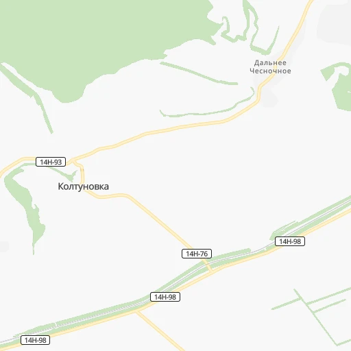
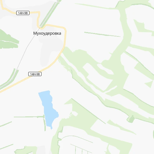
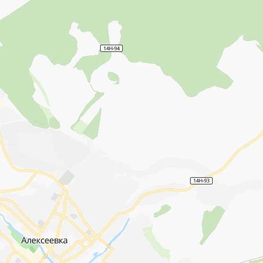
Roadmap (route) to go from Stantsiya Motoma to Gryazi detailed above, you can also see the course layout on the map.
While doing trip Stantsiya Motoma - Gryazi by car, the calculated route ends at a distance , or more straight.
Distance and duration of the route between Stantsiya Motoma and Gryazi
Calculation of distance and route from Gryazi to Stantsiya Motoma :
219.6269.7 km5h34mn
Continue onto 14Н-98 0h4mn 3.2 kmTurn left 0h2mn 1.2 kmTurn left 0h0mn 71 mTurn right 0h1mn 540 mTurn sharp left onto 14Н-98 0h1mn 926 mTurn left onto 14Н-98 0h2mn 1.5 kmTurn right onto 14Н-98 0h5mn 4.3 kmTurn sharp right 0h1mn 377 mKeep right 0h11mn 8.1 kmTurn sharp right onto Острогожск — Алексеевка 0h13mn 16.2 kmKeep left onto улица Кирова 0h2mn 2.5 kmTurn left onto улица Карла Маркса 0h3mn 3.6 kmTurn right onto 20Н-46-19 0h0mn 49 mTurn left onto 20К-В38-0 1h46mn 54.3 kmKeep right 0h0mn 303 mContinue onto 20К-В62-0 0h19mn 25.2 kmTurn left onto Воронеж — Нововоронеж 0h9mn 12.0 kmTurn sharp right onto М-4 «Дон» — п. 1-го отд. свх «Масловский» 0h15mn 13.7 kmKeep left 0h0mn 122 mContinue onto улица Ленина 0h15mn 11.7 kmKeep left onto 20К-В18-0 0h23mn 23.3 kmContinue onto улица Ленина 0h27mn 27.3 kmAt roundabout, take exit 1 onto улица Карла Маркса 0h3mn 2.9 kmKeep left onto 42К-725 1h31mn 26.2 kmTurn right onto 42К-712 0h0mn 177 mTurn left onto 42К-713 0h9mn 7.2 kmTurn right onto Новая улица 0h15mn 12.2 kmTurn left onto 42К-053 0h1mn 374 mTurn right 0h1mn 335 mKeep right 0h6mn 2.8 kmKeep left 0h0mn 142 mContinue onto улица Гагарина 0h1mn 1.0 kmTurn right onto улица Осипенко 0h1mn 692 mTurn left onto Хлебозаводская улица 0h1mn 1.0 kmAt roundabout, take exit 1 0h0mn 397 mTurn right onto Борисоглебская улица 0h1mn 838 mTurn right onto улица Воровского 0h0mn 213 mAt roundabout, take exit 2 onto улица Воровского 0h1mn 993 mAt roundabout, take exit 2 onto Набережная улица 0h0mn 82 mContinue onto улица 30 лет Победы 0h2mn 1.1 kmAt roundabout, take exit 1 onto улица 30 лет Победы 0h0mn 33 mTurn slight right onto 1-я Конная улица 0h0mn 16 mTurn left onto 1-я улица Чапаева 0h1mn 274 mTurn right onto улица Мичурина 0h0mn 68 mArrive at destination 0h0mn 0 m
Travel from Stantsiya Motoma (Lipetsk Oblast) to a selection of major cities.
Distances from Stantsiya Motoma to biggest cities in Belgorod Oblast
Other major cities in country :
- Yaroslavl [88], 606,730 inhabitants. 781 km
- Barnaul [04], 599,579 inhabitants. 3,043 km
- Vladivostok [59], 587,022 inhabitants. 6,651 km
- Irkutsk [20], 586,695 inhabitants. 4,385 km
- Khabarovsk [30], 579,000 inhabitants. 6,432 km
- Khabarovsk Vtoroy [30], 578,303 inhabitants. 6,438 km
- Orenburg [55], 550,204 inhabitants. 1,139 km
- Novokuznetsk [29], 539,616 inhabitants. 3,248 km
- Ryazan' [62], 520,173 inhabitants. 447 km
- Tyumen [78], 519,119 inhabitants. 1,880 km
- Lipetsk [43], 515,655 inhabitants. 224 km
- Penza [57], 512,602 inhabitants. 510 km
- Naberezhnyye Chelny [73], 509,870 inhabitants. 1,065 km
- Kalininskiy [42], 504,641 inhabitants. 1,168 km
- Astrakhan [07], 502,533 inhabitants. 830 km
- Makhachkala [17], 497,959 inhabitants. 1,078 km
- Tomsk [75], 485,519 inhabitants. 3,058 km
- Kemerovo [29], 477,090 inhabitants. 3,146 km
- Tula [76], 468,825 inhabitants. 404 km
- Kirov [33], 457,383 inhabitants. 1,125 km
Route from Gryazi to major cities (Russia).
- Distance Gryazi Moscow393 km
- Distance Gryazi Saint Petersburg1,018 km
- Distance Gryazi Novosibirsk2,798 km
- Distance Gryazi Yekaterinburg1,410 km
- Distance Gryazi Nizhniy Novgorod501 km
- Distance Gryazi Samara691 km
- Distance Gryazi Omsk2,197 km
- Distance Gryazi Kazan701 km
- Distance Gryazi Rostov-na-Donu586 km
- Distance Gryazi Chelyabinsk1,437 km
- Distance Gryazi Ufa1,085 km
- Distance Gryazi Volgograd530 km
- Distance Gryazi Perm1,199 km
- Distance Gryazi Krasnoyarsk3,379 km
- Distance Gryazi Saratov429 km
- Distance Gryazi Voronezh105 km
- Distance Gryazi Tol'yatti640 km
- Distance Gryazi Krasnodar832 km
- Distance Gryazi Ulyanovsk596 km
- Distance Gryazi Izhevsk980 km
Nearest cities to Stantsiya Motoma :
- Voronezh, 848,752 inhabitants. 117 km
- Lipetsk, 515,655 inhabitants. 224 km
- Kursk, 409,431 inhabitants. 221 km
- Belgorod, 345,289 inhabitants. 159 km
- Orel, 324,200 inhabitants. 320 km
- Tambov, 290,933 inhabitants. 294 km
- Staryy Oskol, 226,977 inhabitants. 101 km
- Shakhty, 221,312 inhabitants. 342 km
- Yelets, 115,688 inhabitants. 222 km
- Novoshakhtinsk, 99,478 inhabitants. 331 km
- Michurinsk, 93,499 inhabitants. 276 km
- Gubkin, 87,000 inhabitants. 115 km
- Kamensk-Shakhtinskiy, 75,814 inhabitants. 279 km
- Gukovo, 66,079 inhabitants. 298 km
- Rossosh', 64,323 inhabitants. 58 km
- Rossosh', 62,000 inhabitants. 72 km
- Liski, 55,939 inhabitants. 61 km
- Livny, 52,915 inhabitants. 216 km
- Donetsk, 50,850 inhabitants. 269 km
- Mtsensk, 47,609 inhabitants. 332 km
- Belaya Kalitva, 47,521 inhabitants. 308 km
- Gryazi, 47,413 inhabitants. 220 km
- Yefremov, 45,497 inhabitants. 283 km
- Shebekino, 45,194 inhabitants. 138 km
- Krasnyy Sulin, 44,133 inhabitants. 319 km
- Morshansk, 43,311 inhabitants. 372 km
- Alekseyevka, 39,848 inhabitants. 10 km
- Millerovo, 38,527 inhabitants. 222 km
- Novovoronezh, 37,392 inhabitants. 79 km
- Valuyki, 35,887 inhabitants. 71 km
- Ostrogozhsk, 34,403 inhabitants. 30 km
- Kotovsk, 33,077 inhabitants. 284 km
- Morozovsk, 29,289 inhabitants. 334 km
- Buturlinovka, 28,581 inhabitants. 127 km
- Pavlovsk, 26,565 inhabitants. 93 km
- Semiluki, 26,257 inhabitants. 117 km
- Zverevo, 24,978 inhabitants. 306 km
- Lebedyan', 22,970 inhabitants. 266 km
- Dankov, 22,913 inhabitants. 291 km
- Novaya Usman', 22,165 inhabitants. 118 km
- Novyy Oskol, 21,035 inhabitants. 70 km
- Bobrov, 20,587 inhabitants. 98 km
- Kalach, 20,449 inhabitants. 157 km
- Usman', 19,910 inhabitants. 168 km
- Shchigry, 19,198 inhabitants. 192 km
- Anna, 19,148 inhabitants. 146 km
- Stroitel', 18,636 inhabitants. 166 km
- Pridonskoy, 16,896 inhabitants. 117 km
- Zherdevka, 16,019 inhabitants. 227 km
- Razumnoye, 15,529 inhabitants. 152 km
Location Stantsiya Motoma (Belgorod Oblast) :
| Country flag |  |
| Location | Stantsiya Motoma |
| State | Belgorod Oblast |
| County | |
| Country | Russia |
| Country code / ISO 2 | RU |
| Latitude | 50.6428000 |
| Longitude | 38.8319000 |
| Altitude | 0 meters |
| Time zone | Europe/Moscow |
Location Gryazi (Lipetsk Oblast) :
| Country flag | |
| Location | Gryazi |
| State | Lipetsk Oblast |
| County | |
| Country | Russia |
| Country code / ISO 2 | RU |
| Latitude | 52.4965700 |
| Longitude | 39.9359300 |
| Altitude | 0 meters |
| Time zone | Europe/Moscow |