


How to get from Armour Landing Strip (South Dakota) to Hastings (Nebraska)
Calculate route from Armour Landing Strip (South Dakota, United States) to Hastings (Nebraska, United States).
The flight distance (as the crow flies) between Armour Landing Strip and Hastings is 304.9 km.
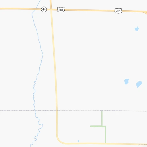
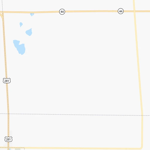
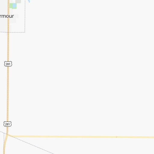
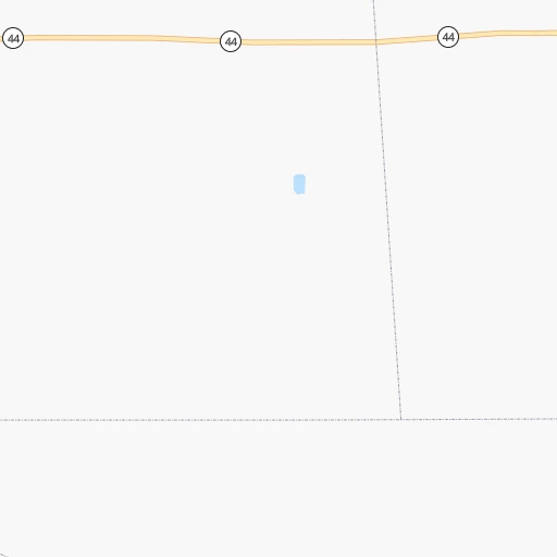
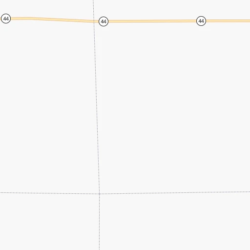
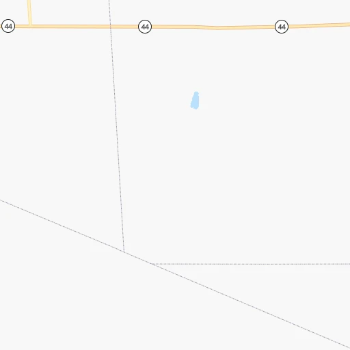
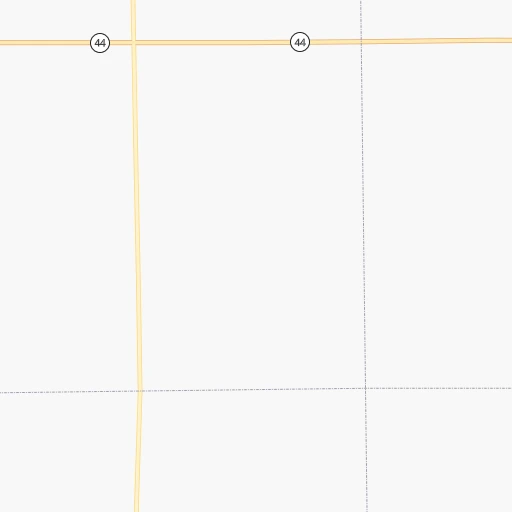
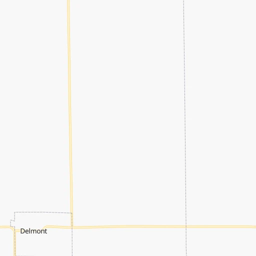
Roadmap (route) to go from Armour Landing Strip to Hastings detailed above, you can also see the course layout on the map.
While doing trip Armour Landing Strip - Hastings by car, the calculated route ends at a distance , or more straight.
Distance and duration of the route between Armour Landing Strip and Hastings
Calculation of distance and route from Hastings to Armour Landing Strip :
304.9344.6 km4h7mn
Continue onto 9th Street, 280th Street 0h1mn 668 mTurn left onto Braddock Avenue 0h19mn 20.7 kmContinue onto SD Highway 50 0h6mn 6.5 kmTurn right onto SD Highway 46 0h14mn 15.0 kmContinue onto 297th Street 0h4mn 5.0 kmTurn left 0h0mn 343 mTurn right onto County Road 56 0h12mn 14.4 kmTurn left onto 496th Avenue 0h11mn 13.4 kmTurn right onto Highway 12 0h2mn 2.5 kmTurn left onto 897th Road 0h2mn 1.8 kmContinue onto 897th Road 0h2mn 2.4 kmTurn left onto Highway 281 0h27mn 41.3 kmTurn left onto West Douglas Street 0h1mn 796 mTurn right onto South 4th Street 2h52mn 175.4 kmKeep right onto US 281 1h34mn 43.6 kmTurn left onto West 7th Street 0h0mn 408 mTurn right onto North Saint Joseph Avenue 0h1mn 408 mTurn right onto West 3rd Street 0h0mn 68 mArrive at destination 0h0mn 0 m
Travel from Armour Landing Strip (Nebraska) to a selection of major cities.
Distances from Armour Landing Strip to biggest cities in South Dakota
Other major cities in country :
- Charlotte [NC], 827,097 inhabitants. 1,751 km
- Seattle [WA], 684,451 inhabitants. 1,924 km
- Denver [CO], 682,545 inhabitants. 683 km
- El Paso [TX], 681,124 inhabitants. 1,474 km
- Detroit [MI], 677,116 inhabitants. 1,251 km
- Boston [MA], 667,137 inhabitants. 2,219 km
- Memphis [TN], 655,770 inhabitants. 1,156 km
- New South Memphis [TN], 641,608 inhabitants. 1,161 km
- Portland [OR], 632,309 inhabitants. 1,943 km
- Oklahoma City [OK], 631,346 inhabitants. 878 km
- Las Vegas [NV], 623,747 inhabitants. 1,639 km
- Baltimore [MD], 621,849 inhabitants. 1,865 km
- Washington, D.C. [DC], 601,723 inhabitants. 1,848 km
- Milwaukee [WI], 600,155 inhabitants. 847 km
- South Boston [MA], 571,281 inhabitants. 2,220 km
- Albuquerque [NM], 559,121 inhabitants. 1,164 km
- Tucson [AZ], 531,641 inhabitants. 1,656 km
- Nashville [TN], 530,852 inhabitants. 1,268 km
- Fresno [CA], 520,052 inhabitants. 1,961 km
- Sacramento [CA], 490,712 inhabitants. 2,010 km
Route from Hastings to major cities (United States).
- Distance Hastings New York City2,053 km
- Distance Hastings Los Angeles1,897 km
- Distance Hastings Chicago909 km
- Distance Hastings Brooklyn2,058 km
- Distance Hastings Houston1,236 km
- Distance Hastings Queens2,067 km
- Distance Hastings Philadelphia1,968 km
- Distance Hastings Phoenix1,450 km
- Distance Hastings Manhattan2,055 km
- Distance Hastings San Antonio1,243 km
- Distance Hastings San Diego1,886 km
- Distance Hastings The Bronx2,062 km
- Distance Hastings Dallas880 km
- Distance Hastings San Jose2,060 km
- Distance Hastings Austin1,150 km
- Distance Hastings Jacksonville1,893 km
- Distance Hastings San Francisco2,090 km
- Distance Hastings Columbus1,307 km
- Distance Hastings Fort Worth880 km
- Distance Hastings Indianapolis1,043 km
Nearest cities to Armour Landing Strip :
- Omaha, 443,885 inhabitants. 304 km
- Lincoln, 277,348 inhabitants. 314 km
- Sioux Falls, 171,544 inhabitants. 135 km
- Sioux City, 82,821 inhabitants. 183 km
- Council Bluffs, 62,597 inhabitants. 307 km
- Bellevue, 55,510 inhabitants. 317 km
- Grand Island, 51,440 inhabitants. 268 km
- Kearney, 33,021 inhabitants. 299 km
- Aberdeen, 28,102 inhabitants. 238 km
- Fremont, 26,474 inhabitants. 260 km
- Hastings, 24,924 inhabitants. 305 km
- Norfolk, 24,366 inhabitants. 163 km
- North Platte, 24,194 inhabitants. 317 km
- Brookings, 23,657 inhabitants. 165 km
- Columbus, 22,797 inhabitants. 226 km
- Watertown, 22,073 inhabitants. 200 km
- Papillion, 19,510 inhabitants. 307 km
- La Vista, 16,921 inhabitants. 305 km
- Mitchell, 15,669 inhabitants. 49 km
- Yankton, 14,557 inhabitants. 92 km
- Pierre, 14,002 inhabitants. 199 km
- Marshall, 13,652 inhabitants. 239 km
- South Sioux City, 13,319 inhabitants. 183 km
- Huron, 13,313 inhabitants. 116 km
- Fergus Falls, 13,281 inhabitants. 374 km
- Worthington, 13,090 inhabitants. 224 km
- Alexandria, 11,843 inhabitants. 369 km
- Chalco, 10,994 inhabitants. 299 km
- Vermillion, 10,738 inhabitants. 130 km
- Lexington, 10,075 inhabitants. 307 km
- Brandon, 9,856 inhabitants. 146 km
- Le Mars, 9,761 inhabitants. 186 km
- Denison, 8,334 inhabitants. 284 km
- Elkhorn, 8,251 inhabitants. 286 km
- Blair, 7,975 inhabitants. 269 km
- Wahpeton, 7,899 inhabitants. 354 km
- York, 7,864 inhabitants. 281 km
- Sioux Center, 7,461 inhabitants. 178 km
- Nebraska City, 7,335 inhabitants. 359 km
- Madison, 7,258 inhabitants. 124 km
- Seward, 7,167 inhabitants. 288 km
- Crete, 7,037 inhabitants. 322 km
- Plattsmouth, 6,462 inhabitants. 328 km
- Orange City, 6,198 inhabitants. 188 km
- Schuyler, 6,171 inhabitants. 234 km
- Ralston, 5,994 inhabitants. 303 km
- Wayne, 5,569 inhabitants. 163 km
- Holdrege, 5,561 inhabitants. 333 km
- Harrisburg, 5,498 inhabitants. 133 km
- Morris, 5,352 inhabitants. 316 km
Location Armour Landing Strip (South Dakota) :
| Country flag |  |
| Location | Armour Landing Strip |
| State | South Dakota |
| County | Douglas County |
| Country | United States |
| Country code / ISO 2 | US |
| Latitude | 43.3294300 |
| Longitude | -98.3364700 |
| Altitude | 467 meters |
| Time zone | America/Chicago |
Location Hastings (Nebraska) :
| Country flag | |
| Location | Hastings |
| State | Nebraska |
| County | Adams County |
| Country | United States |
| Country code / ISO 2 | US |
| Latitude | 40.5861200 |
| Longitude | -98.3883900 |
| Altitude | 587 meters |
| Time zone | America/Chicago |

