
How to get from Dover (New Hampshire) to Derry Village (New Hampshire)
Calculate route from Dover (New Hampshire, United States) to Derry Village (New Hampshire, United States).
The flight distance (as the crow flies) between Dover and Derry Village is 49.2 km.
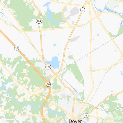
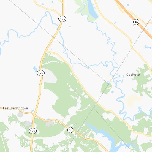
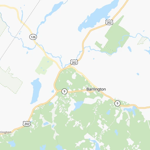
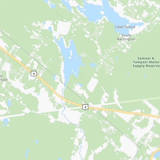
Roadmap (route) to go from Dover to Derry Village detailed above, you can also see the course layout on the map.
While doing trip Dover - Derry Village by car, the calculated route ends at a distance , or more straight.
Distance and duration of the route between Dover and Derry Village
Calculation of distance and route from Derry Village to Dover :
49.256.6 km1h56mn
Continue 0h0mn 6 mTurn sharp left onto Main Street 0h0mn 97 mTurn sharp left onto Central Avenue 0h1mn 401 mTurn right onto Washington Street 0h1mn 507 mTurn left onto Cushing Street 0h1mn 374 mTurn right onto Silver Street 0h1mn 538 mAt roundabout, take exit 3 onto Knox Marsh Road 0h11mn 10.7 kmTurn right onto Mast Road 0h3mn 2.8 kmKeep left onto Mast Road 0h0mn 82 mKeep right onto North River Road 0h3mn 3.1 kmContinue onto North River Road 0h2mn 2.2 kmTurn left onto Calef Highway 0h6mn 6.8 kmKeep right 0h5mn 7.0 kmKeep right and take NH 102, NH 107, NH 156 toward Raymond, Fremont 0h0mn 517 mKeep left and take NH 107 South toward Fremont, Chester 0h0mn 66 mTurn left onto Freetown Road 0h2mn 1.8 kmKeep right onto Chester Road 0h21mn 19.5 kmAt roundabout, take exit 3 onto South Main Street 0h0mn 89 mTurn right 0h0mn 22 mArrive at destination 0h0mn 0 m
Travel from Dover (New Hampshire) to a selection of major cities.
Distances from Dover to biggest cities in New Hampshire
Other major cities in country :
- Charlotte [NC], 827,097 inhabitants. 1,234 km
- Seattle [WA], 684,451 inhabitants. 3,977 km
- Denver [CO], 682,545 inhabitants. 2,851 km
- El Paso [TX], 681,124 inhabitants. 3,363 km
- Detroit [MI], 677,116 inhabitants. 999 km
- Boston [MA], 667,137 inhabitants. 95 km
- Memphis [TN], 655,770 inhabitants. 1,875 km
- New South Memphis [TN], 641,608 inhabitants. 1,880 km
- Portland [OR], 632,309 inhabitants. 4,059 km
- Oklahoma City [OK], 631,346 inhabitants. 2,437 km
- Las Vegas [NV], 623,747 inhabitants. 3,826 km
- Baltimore [MD], 621,849 inhabitants. 648 km
- Washington, D.C. [DC], 601,723 inhabitants. 705 km
- Milwaukee [WI], 600,155 inhabitants. 1,382 km
- South Boston [MA], 571,281 inhabitants. 97 km
- Albuquerque [NM], 559,121 inhabitants. 3,191 km
- Tucson [AZ], 531,641 inhabitants. 3,692 km
- Nashville [TN], 530,852 inhabitants. 1,568 km
- Fresno [CA], 520,052 inhabitants. 4,172 km
- Sacramento [CA], 490,712 inhabitants. 4,226 km
Route from Derry Village to major cities (United States).
- Distance Derry Village New York City330 km
- Distance Derry Village Los Angeles4,151 km
- Distance Derry Village Chicago1,347 km
- Distance Derry Village Brooklyn332 km
- Distance Derry Village Houston2,591 km
- Distance Derry Village Queens323 km
- Distance Derry Village Philadelphia459 km
- Distance Derry Village Phoenix3,679 km
- Distance Derry Village Manhattan322 km
- Distance Derry Village San Antonio2,847 km
- Distance Derry Village San Diego4,134 km
- Distance Derry Village The Bronx311 km
- Distance Derry Village Dallas2,494 km
- Distance Derry Village San Jose4,285 km
- Distance Derry Village Austin2,732 km
- Distance Derry Village Jacksonville1,673 km
- Distance Derry Village San Francisco4,307 km
- Distance Derry Village Columbus1,028 km
- Distance Derry Village Fort Worth2,538 km
- Distance Derry Village Indianapolis1,287 km
Nearest cities to Dover :
- Queens, 2,272,771 inhabitants. 372 km
- The Bronx, 1,385,108 inhabitants. 360 km
- Boston, 667,137 inhabitants. 95 km
- South Boston, 571,281 inhabitants. 97 km
- Jamaica, 216,866 inhabitants. 370 km
- Worcester, 184,815 inhabitants. 129 km
- Providence, 179,207 inhabitants. 159 km
- Springfield, 154,341 inhabitants. 186 km
- Bridgeport, 147,629 inhabitants. 297 km
- New Haven, 130,322 inhabitants. 270 km
- Stamford, 128,874 inhabitants. 325 km
- Hartford, 124,006 inhabitants. 218 km
- North Stamford, 121,230 inhabitants. 318 km
- Lowell, 110,699 inhabitants. 72 km
- Cambridge, 110,402 inhabitants. 94 km
- Manchester, 110,229 inhabitants. 52 km
- Corona, 109,698 inhabitants. 368 km
- Waterbury, 108,802 inhabitants. 256 km
- Richmond Hill, 98,984 inhabitants. 370 km
- Albany, 98,469 inhabitants. 243 km
- Brockton, 95,314 inhabitants. 125 km
- New Bedford, 94,958 inhabitants. 174 km
- West Albany, 93,794 inhabitants. 244 km
- Quincy, 93,618 inhabitants. 106 km
- Lynn, 92,457 inhabitants. 82 km
- Newton, 88,817 inhabitants. 100 km
- Fall River, 88,777 inhabitants. 168 km
- Norwalk, 88,485 inhabitants. 312 km
- Nashua, 87,970 inhabitants. 68 km
- Greenburgh, 86,764 inhabitants. 344 km
- Danbury, 84,657 inhabitants. 292 km
- East Norwalk, 84,530 inhabitants. 312 km
- Warwick, 81,699 inhabitants. 173 km
- Cranston, 81,073 inhabitants. 164 km
- Somerville, 80,318 inhabitants. 92 km
- Lawrence, 80,231 inhabitants. 60 km
- New Rochelle, 79,846 inhabitants. 350 km
- New Britain, 72,808 inhabitants. 232 km
- Pawtucket, 71,591 inhabitants. 153 km
- Mount Vernon, 68,628 inhabitants. 353 km
- Framingham, 68,318 inhabitants. 111 km
- Forest Hills, 67,714 inhabitants. 370 km
- Portland, 66,881 inhabitants. 72 km
- Bayside, 66,455 inhabitants. 362 km
- Parkchester, 65,876 inhabitants. 360 km
- Framingham Center, 65,413 inhabitants. 110 km
- Waltham, 63,378 inhabitants. 96 km
- West Hartford, 63,268 inhabitants. 222 km
- Haverhill, 62,765 inhabitants. 50 km
- Malden, 61,068 inhabitants. 87 km
Location Dover (New Hampshire) :
| Country flag |  |
| Location | Dover |
| State | New Hampshire |
| County | Strafford County |
| Country | United States |
| Country code / ISO 2 | US |
| Latitude | 43.1978600 |
| Longitude | -70.8736700 |
| Altitude | 19 meters |
| Time zone | America/New_York |
Location Derry Village (New Hampshire) :
| Country flag | |
| Location | Derry Village |
| State | New Hampshire |
| County | Rockingham County |
| Country | United States |
| Country code / ISO 2 | US |
| Latitude | 42.8917500 |
| Longitude | -71.3120100 |
| Altitude | 75 meters |
| Time zone | America/New_York |
