
How to get from Windom Municipal (airport) (Minnesota) to Brooklyn (New York)
Calculate route from Windom Municipal (airport) (Minnesota, United States) to Brooklyn (New York, United States).
The flight distance (as the crow flies) between Windom Municipal (airport) and Brooklyn is 1,771.8 km.
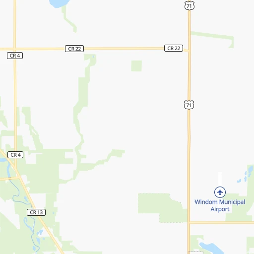
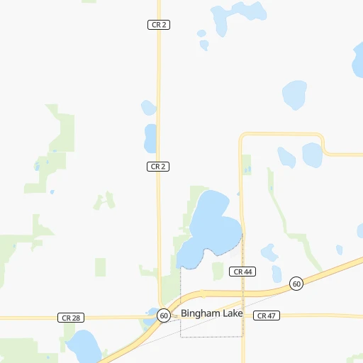
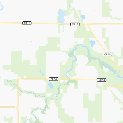
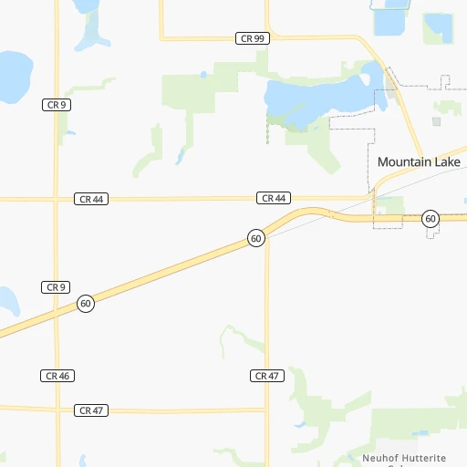
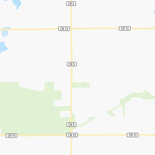
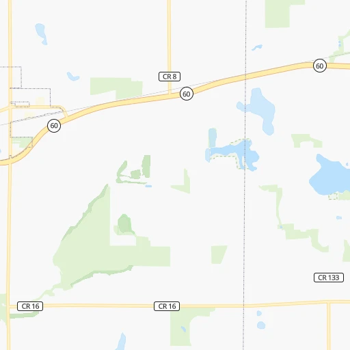
Roadmap (route) to go from Windom Municipal Airport to Brooklyn detailed above, you can also see the course layout on the map.
While doing trip Windom Municipal (airport) - Brooklyn by car, the calculated route ends at a distance , or more straight.
Distance and duration of the route between Windom Municipal (airport) and Brooklyn
Calculation of distance and route from Brooklyn to Windom Municipal (airport) :
1,771.82,067.6 km21h25mn
Continue 0h1mn 285 mTurn left onto County Road 28 0h5mn 4.0 kmTurn right onto County Road 2 0h0mn 155 mTurn left onto State Highway 60 0h25mn 39.3 kmKeep right toward CR 12 0h0mn 534 mTurn sharp left onto County Highway 12 0h0mn 347 mTurn right onto 740th Avenue 0h1mn 1.1 kmTurn right onto 740th Avenue 0h1mn 841 mKeep right onto County Highway 13 0h12mn 15.5 kmTurn right onto 310th Street 0h0mn 292 mTurn left and take MN 60 East, MN 15 North toward Mankato, New Ulm 0h24mn 35.9 kmKeep right 0h0mn 425 mTurn right onto South Riverfront Drive 0h2mn 1.9 kmKeep right 0h0mn 95 mKeep left onto East Plum Street 0h0mn 62 mTurn left onto North 2nd Street 0h0mn 376 mTurn right onto East Elm Street 0h0mn 258 mTurn left onto North 4th Street 0h2mn 1.4 kmTurn right onto May Street 0h0mn 150 mTurn left onto Thompson Ravine Road 0h2mn 1.3 kmTurn left onto North Victory Drive 0h0mn 173 mTurn right 1h13mn 114.4 kmTurn right onto Country Club Road Southeast 0h2mn 2.7 kmContinue onto Country Club Road West 0h6mn 7.5 kmTurn sharp right onto West Circle Drive Southwest 0h2mn 2.2 kmContinue onto Salem Road Southwest 0h2mn 1.8 kmKeep right 0h0mn 327 mKeep right toward US 52 South, US 63 South 0h8mn 12.9 kmTurn left and take I 90 East toward La Crosse 1h54mn 91.6 kmKeep left onto I 90 2h11mn 221.9 kmKeep right onto I 39, I 90 and take I 39, I 90 toward Chicago 1h4mn 108.1 kmKeep left onto Jane Addams Memorial Tollway 0h19mn 32.6 kmKeep left onto Jane Addams Memorial Tollway 1h39mn 65.2 kmKeep left onto Jane Addams Memorial Tollway 0h21mn 27.7 kmKeep left onto Dan Ryan Expressway (Express) toward I 90 Express, I 94 Express 0h5mn 6.4 kmKeep right toward I 90 East 0h1mn 1.5 kmKeep left onto Chicago Skyway toward I 90 East 0h6mn 7.3 kmKeep left 0h4mn 4.2 kmKeep right and take US 12, US 20, US 41 toward Indianapolis Boulevard 0h0mn 378 mTurn right and take US 12, US 20, US 41 toward Indianapolis Boulevard 0h0mn 8 mTurn left onto South Indianapolis Avenue 0h1mn 580 mKeep right and take I 90 East toward Indiana Toll Road 6h57mn 602.2 kmKeep right onto I 80 toward I 80 East 0h1mn 1.5 kmKeep left onto I 80 and take I 80 East, CR 18 toward Youngstown, Mahoning Avenue 0h0mn 405 mKeep left onto I 80 and take I 80 East toward Youngstown 0h5mn 7.2 kmKeep left onto I 80 3h44mn 277.1 kmKeep left onto I 80 2h27mn 236.7 kmKeep right and take PA 611 toward Park Avenue 0h0mn 320 mKeep right 0h0mn 29 mTurn slight right onto Park Avenue 0h4mn 4.1 kmContinue onto Foxtown Hill Road 1h49mn 76.0 kmKeep left and take I 280 East toward The Oranges, Newark 0h19mn 26.6 kmKeep right and take CR 508 East toward Jersey City 0h1mn 1.0 kmContinue onto Newark-Jersey City Turnpike 0h4mn 4.1 kmKeep right and take NJ 139 East toward Hoboken, Holland Tunnel 0h0mn 349 mKeep left and drive toward Holland Tunnel, Lincoln Tunnel 0h0mn 567 mKeep right 0h3mn 2.6 kmKeep left onto Holland Tunnel and drive toward Holland Tunnel, Manhattan 0h4mn 3.3 kmKeep right and drive toward Brooklyn 0h0mn 130 mKeep right onto Walker Street 0h1mn 734 mTurn right onto Canal Street 0h6mn 4.2 kmContinue onto Flatbush Avenue 0h2mn 1.4 kmTurn left onto Plaza Street West 0h0mn 33 mKeep right onto Flatbush Avenue 0h3mn 2.4 kmTurn left onto Caton Avenue 0h1mn 855 mTurn right onto Nostrand Avenue 0h0mn 283 mArrive at destination 0h0mn 0 m
Travel from Windom Municipal (airport) (New York) to a selection of major cities.
Distances from Windom Municipal Airport to biggest cities in Minnesota
- Minnetonka Mills,50,117 inhabitants.175 km
- Saint Louis Park,45,250 inhabitants.181 km
- Moorhead,42,005 inhabitants.354 km
- Mankato,41,044 inhabitants.92 km
- Maplewood,40,567 inhabitants.204 km
- Shakopee,39,981 inhabitants.160 km
- Richfield,36,216 inhabitants.181 km
- Cottage Grove,35,918 inhabitants.200 km
- Roseville,35,580 inhabitants.197 km
- Inver Grove Heights,34,857 inhabitants.195 km
- Andover,32,213 inhabitants.206 km
- Brooklyn Center,30,770 inhabitants.191 km
- Savage,30,391 inhabitants.171 km
- Oakdale,28,080 inhabitants.207 km
- Fridley,27,713 inhabitants.196 km
- Winona,27,094 inhabitants.278 km
- Shoreview,26,477 inhabitants.203 km
- Ramsey,25,828 inhabitants.200 km
- Owatonna,25,725 inhabitants.152 km
- Chanhassen,25,332 inhabitants.164 km
Other major cities in country :
- Charlotte [NC], 827,097 inhabitants. 1,556 km
- Seattle [WA], 684,451 inhabitants. 2,142 km
- Denver [CO], 682,545 inhabitants. 941 km
- El Paso [TX], 681,124 inhabitants. 1,679 km
- Detroit [MI], 677,116 inhabitants. 995 km
- Boston [MA], 667,137 inhabitants. 1,954 km
- Memphis [TN], 655,770 inhabitants. 1,067 km
- New South Memphis [TN], 641,608 inhabitants. 1,074 km
- Portland [OR], 632,309 inhabitants. 2,177 km
- Oklahoma City [OK], 631,346 inhabitants. 962 km
- Las Vegas [NV], 623,747 inhabitants. 1,905 km
- Baltimore [MD], 621,849 inhabitants. 1,619 km
- Washington, D.C. [DC], 601,723 inhabitants. 1,605 km
- Milwaukee [WI], 600,155 inhabitants. 590 km
- South Boston [MA], 571,281 inhabitants. 1,956 km
- Albuquerque [NM], 559,121 inhabitants. 1,393 km
- Tucson [AZ], 531,641 inhabitants. 1,895 km
- Nashville [TN], 530,852 inhabitants. 1,116 km
- Fresno [CA], 520,052 inhabitants. 2,229 km
- Sacramento [CA], 490,712 inhabitants. 2,276 km
Route from Brooklyn to major cities (United States).
- Distance Brooklyn Los Angeles3,945 km
- Distance Brooklyn Chicago1,153 km
- Distance Brooklyn Houston2,285 km
- Distance Brooklyn Philadelphia129 km
- Distance Brooklyn Phoenix3,452 km
- Distance Brooklyn San Antonio2,550 km
- Distance Brooklyn San Diego3,917 km
- Distance Brooklyn Dallas2,211 km
- Distance Brooklyn San Jose4,113 km
- Distance Brooklyn Austin2,436 km
- Distance Brooklyn Jacksonville1,343 km
- Distance Brooklyn San Francisco4,140 km
- Distance Brooklyn Columbus772 km
- Distance Brooklyn Fort Worth2,256 km
- Distance Brooklyn Indianapolis1,042 km
- Distance Brooklyn Charlotte854 km
- Distance Brooklyn Seattle3,877 km
- Distance Brooklyn Denver2,627 km
- Distance Brooklyn El Paso3,065 km
- Distance Brooklyn Detroit781 km
Nearest cities to Windom Municipal (airport) :
- Omaha, 443,885 inhabitants. 304 km
- Minneapolis, 410,939 inhabitants. 189 km
- Saint Paul, 285,068 inhabitants. 197 km
- Des Moines, 210,330 inhabitants. 285 km
- Sioux Falls, 171,544 inhabitants. 134 km
- Fargo, 118,523 inhabitants. 355 km
- Rochester, 112,225 inhabitants. 212 km
- Bloomington, 86,435 inhabitants. 177 km
- Sioux City, 82,821 inhabitants. 189 km
- Brooklyn Park, 79,149 inhabitants. 191 km
- Plymouth, 75,907 inhabitants. 179 km
- Waterloo, 68,460 inhabitants. 275 km
- Maple Grove, 68,385 inhabitants. 184 km
- Woodbury, 67,855 inhabitants. 205 km
- Eagan, 66,286 inhabitants. 184 km
- Saint Cloud, 65,842 inhabitants. 198 km
- Ames, 65,060 inhabitants. 242 km
- West Des Moines, 64,113 inhabitants. 284 km
- Eden Prairie, 63,496 inhabitants. 167 km
- Council Bluffs, 62,597 inhabitants. 302 km
- West Coon Rapids, 62,528 inhabitants. 197 km
- Coon Rapids, 62,240 inhabitants. 197 km
- Blaine, 62,124 inhabitants. 203 km
- Burnsville, 61,481 inhabitants. 174 km
- Lakeville, 60,633 inhabitants. 170 km
- Ankeny, 56,764 inhabitants. 272 km
- Bellevue, 55,510 inhabitants. 316 km
- Minnetonka, 51,669 inhabitants. 169 km
- Apple Valley, 51,221 inhabitants. 176 km
- Edina, 50,138 inhabitants. 177 km
- Minnetonka Mills, 50,117 inhabitants. 175 km
- Saint Louis Park, 45,250 inhabitants. 181 km
- Urbandale, 44,062 inhabitants. 279 km
- Moorhead, 42,005 inhabitants. 354 km
- Cedar Falls, 41,255 inhabitants. 265 km
- Mankato, 41,044 inhabitants. 92 km
- Maplewood, 40,567 inhabitants. 204 km
- Shakopee, 39,981 inhabitants. 160 km
- Richfield, 36,216 inhabitants. 181 km
- Cottage Grove, 35,918 inhabitants. 200 km
- Roseville, 35,580 inhabitants. 197 km
- Inver Grove Heights, 34,857 inhabitants. 195 km
- West Fargo, 33,597 inhabitants. 358 km
- Andover, 32,213 inhabitants. 206 km
- Brooklyn Center, 30,770 inhabitants. 191 km
- Savage, 30,391 inhabitants. 171 km
- Oakdale, 28,080 inhabitants. 207 km
- Fridley, 27,713 inhabitants. 196 km
- Marshalltown, 27,620 inhabitants. 274 km
- Mason City, 27,366 inhabitants. 176 km
Location Windom Municipal (airport) (Minnesota) :
| Country flag |  |
| Location | Windom Municipal (airport) |
| State | Minnesota |
| County | Cottonwood County |
| Country | United States |
| Country code / ISO 2 | US |
| Latitude | 43.9134000 |
| Longitude | -95.1094100 |
| Altitude | 429 meters |
| Time zone | America/Chicago |
Location Brooklyn (New York) :
| Country flag | |
| Location | Brooklyn |
| State | New York |
| County | Kings County |
| Country | United States |
| Country code / ISO 2 | US |
| Latitude | 40.6501000 |
| Longitude | -73.9495800 |
| Altitude | 15 meters |
| Time zone | America/New_York |


