
How to get from Stantsiya Stal’noy Kon’ (Orel Oblast) to Staryy Oskol (Belgorod Oblast)
Calculate route from Stantsiya Stal’noy Kon’ (Orel Oblast, Russia) to Staryy Oskol (Belgorod Oblast, Russia).
The flight distance (as the crow flies) between Stantsiya Stal’noy Kon’ and Staryy Oskol is 225.8 km.
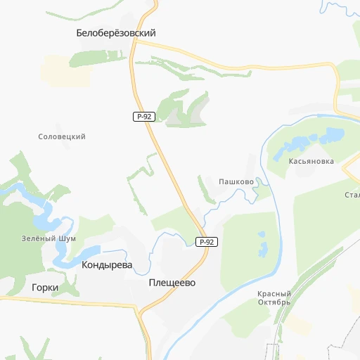
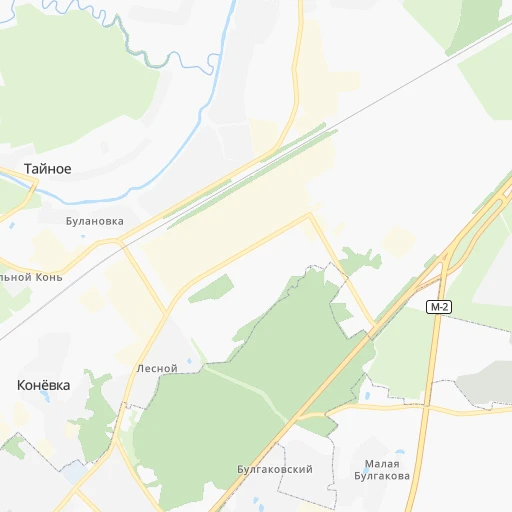
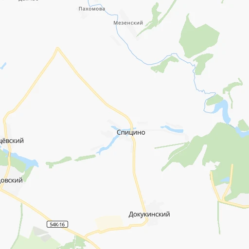
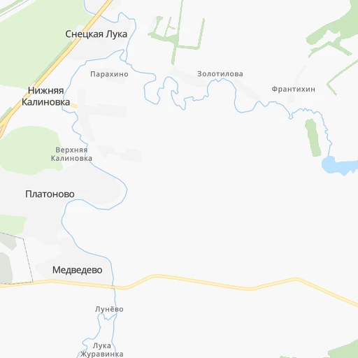
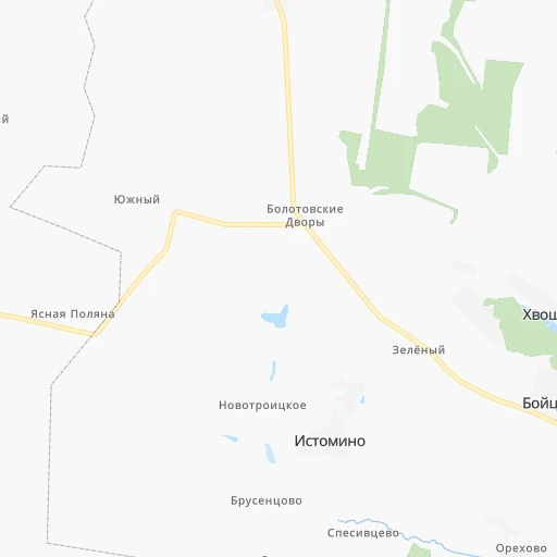
Roadmap (route) to go from Stantsiya Stal’noy Kon’ to Staryy Oskol detailed above, you can also see the course layout on the map.
While doing trip Stantsiya Stal’noy Kon’ - Staryy Oskol by car, the calculated route ends at a distance , or more straight.
Distance and duration of the route between Stantsiya Stal’noy Kon’ and Staryy Oskol
Calculation of distance and route from Staryy Oskol to Stantsiya Stal’noy Kon’ :
225.8281.8 km4h25mn
Continue 0h1mn 197 mTurn right 0h2mn 1.8 kmTurn right onto Раздольная улица 0h2mn 1.6 kmKeep left 0h0mn 22 mKeep right 0h0mn 34 mTurn slight right onto Рощинская улица 0h1mn 1.4 kmTurn right onto Московское шоссе 0h6mn 6.2 kmTurn left 0h4mn 3.8 kmAt roundabout, take exit 1 0h25mn 34.3 kmKeep right onto 54К-348 0h24mn 23.9 kmTurn left onto 54К-8 1h58mn 58.4 kmTurn right onto Интернациональная улица 0h1mn 734 mKeep right onto 54К-127 0h19mn 18.6 kmTurn right onto 38Н-735 0h2mn 1.8 kmTurn left onto 38Н-735 0h23mn 23.3 kmTurn sharp left onto Красная улица 0h1mn 1.6 kmTurn right onto Зелёная улица 1h16mn 80.1 kmTurn left onto 14К-36 0h6mn 7.1 kmAt roundabout, take exit 2 onto «Крым» 0h5mn 7.4 kmKeep right 0h3mn 3.5 kmAt roundabout, take exit 2 onto улица Мира 0h4mn 3.7 kmContinue onto улица Ленина 0h1mn 1.1 kmTurn left onto улица 9 Января 0h0mn 249 mTurn right onto Пролетарская улица 0h1mn 800 mTurn left onto Октябрьская улица 0h0mn 75 mTurn right 0h0mn 36 mTurn left 0h0mn 47 mArrive at destination 0h0mn 0 m
Travel from Stantsiya Stal’noy Kon’ (Belgorod Oblast) to a selection of major cities.
Distances from Stantsiya Stal’noy Kon’ to biggest cities in Orel Oblast
Other major cities in country :
- Yaroslavl [88], 606,730 inhabitants. 563 km
- Barnaul [04], 599,579 inhabitants. 3,117 km
- Vladivostok [59], 587,022 inhabitants. 6,664 km
- Irkutsk [20], 586,695 inhabitants. 4,424 km
- Khabarovsk [30], 579,000 inhabitants. 6,409 km
- Khabarovsk Vtoroy [30], 578,303 inhabitants. 6,415 km
- Orenburg [55], 550,204 inhabitants. 1,292 km
- Novokuznetsk [29], 539,616 inhabitants. 3,311 km
- Ryazan' [62], 520,173 inhabitants. 293 km
- Tyumen [78], 519,119 inhabitants. 1,911 km
- Lipetsk [43], 515,655 inhabitants. 236 km
- Penza [57], 512,602 inhabitants. 593 km
- Naberezhnyye Chelny [73], 509,870 inhabitants. 1,094 km
- Kalininskiy [42], 504,641 inhabitants. 850 km
- Astrakhan [07], 502,533 inhabitants. 1,133 km
- Makhachkala [17], 497,959 inhabitants. 1,401 km
- Tomsk [75], 485,519 inhabitants. 3,093 km
- Kemerovo [29], 477,090 inhabitants. 3,193 km
- Tula [76], 468,825 inhabitants. 162 km
- Kirov [33], 457,383 inhabitants. 1,045 km
Route from Staryy Oskol to major cities (Russia).
- Distance Staryy Oskol Moscow496 km
- Distance Staryy Oskol Saint Petersburg1,071 km
- Distance Staryy Oskol Novosibirsk2,984 km
- Distance Staryy Oskol Yekaterinburg1,601 km
- Distance Staryy Oskol Nizhniy Novgorod691 km
- Distance Staryy Oskol Samara864 km
- Distance Staryy Oskol Omsk2,381 km
- Distance Staryy Oskol Kazan897 km
- Distance Staryy Oskol Rostov-na-Donu473 km
- Distance Staryy Oskol Chelyabinsk1,621 km
- Distance Staryy Oskol Ufa1,269 km
- Distance Staryy Oskol Volgograd556 km
- Distance Staryy Oskol Perm1,395 km
- Distance Staryy Oskol Krasnoyarsk3,569 km
- Distance Staryy Oskol Saratov567 km
- Distance Staryy Oskol Voronezh102 km
- Distance Staryy Oskol Tol'yatti819 km
- Distance Staryy Oskol Krasnodar701 km
- Distance Staryy Oskol Ulyanovsk785 km
- Distance Staryy Oskol Izhevsk1,175 km
Nearest cities to Stantsiya Stal’noy Kon’ :
- Moscow, 10,381,222 inhabitants. 317 km
- Tula, 468,825 inhabitants. 162 km
- Bryansk, 427,236 inhabitants. 120 km
- Kursk, 409,431 inhabitants. 145 km
- Belgorod, 345,289 inhabitants. 272 km
- Kaluga, 338,978 inhabitants. 166 km
- Orel, 324,200 inhabitants. 9 km
- Mar'ino, 243,000 inhabitants. 308 km
- Khimki, 239,967 inhabitants. 329 km
- Staryy Oskol, 226,977 inhabitants. 226 km
- Vykhino-Zhulebino, 216,000 inhabitants. 316 km
- Zelenograd, 215,727 inhabitants. 335 km
- Severnyy, 200,000 inhabitants. 335 km
- Korolyov, 183,402 inhabitants. 339 km
- Yasenevo, 180,000 inhabitants. 300 km
- Podolsk, 179,400 inhabitants. 281 km
- Lyublino, 172,000 inhabitants. 312 km
- Mytishchi, 160,542 inhabitants. 336 km
- Bibirevo, 159,000 inhabitants. 331 km
- Khoroshevo-Mnevniki, 159,000 inhabitants. 318 km
- Gol'yanovo, 158,000 inhabitants. 329 km
- Lyubertsy, 154,650 inhabitants. 315 km
- Strogino, 152,000 inhabitants. 320 km
- Balashikha, 150,103 inhabitants. 330 km
- Zhulebino, 150,000 inhabitants. 317 km
- Kolomna, 147,690 inhabitants. 285 km
- Elektrostal', 144,387 inhabitants. 341 km
- Orekhovo-Borisovo, 144,000 inhabitants. 305 km
- Biryulevo, 144,000 inhabitants. 301 km
- Kuz'minki, 143,000 inhabitants. 315 km
- Novyye Kuz'minki, 143,000 inhabitants. 314 km
- Chertanovo Yuzhnoye, 142,000 inhabitants. 300 km
- Zheleznodorozhnyy, 141,648 inhabitants. 325 km
- Korolev, 139,798 inhabitants. 338 km
- Odintsovo, 137,041 inhabitants. 303 km
- Novomoskovsk, 130,982 inhabitants. 179 km
- Ramenki, 130,000 inhabitants. 309 km
- Zyablikovo, 129,000 inhabitants. 306 km
- Serpukhov, 128,158 inhabitants. 225 km
- Ivanovskoye, 128,000 inhabitants. 323 km
- Orekhovo-Borisovo Severnoye, 128,000 inhabitants. 304 km
- Tyoply Stan, 125,000 inhabitants. 301 km
- Tsaritsyno, 123,000 inhabitants. 304 km
- Presnenskiy, 122,000 inhabitants. 316 km
- Veshnyaki, 122,000 inhabitants. 318 km
- Zyuzino, 121,000 inhabitants. 306 km
- Orekhovo-Zuyevo, 120,000 inhabitants. 358 km
- Solntsevo, 120,000 inhabitants. 300 km
- Troparevo, 118,000 inhabitants. 304 km
- Taganskiy, 116,000 inhabitants. 316 km
Location Stantsiya Stal’noy Kon’ (Orel Oblast) :
| Country flag |  |
| Location | Stantsiya Stal’noy Kon’ |
| State | Orel Oblast |
| County | |
| Country | Russia |
| Country code / ISO 2 | RU |
| Latitude | 53.0379000 |
| Longitude | 36.1329400 |
| Altitude | 0 meters |
| Time zone | Europe/Moscow |
Location Staryy Oskol (Belgorod Oblast) :
| Country flag | |
| Location | Staryy Oskol |
| State | Belgorod Oblast |
| County | |
| Country | Russia |
| Country code / ISO 2 | RU |
| Latitude | 51.2966700 |
| Longitude | 37.8416700 |
| Altitude | 0 meters |
| Time zone | Europe/Moscow |

